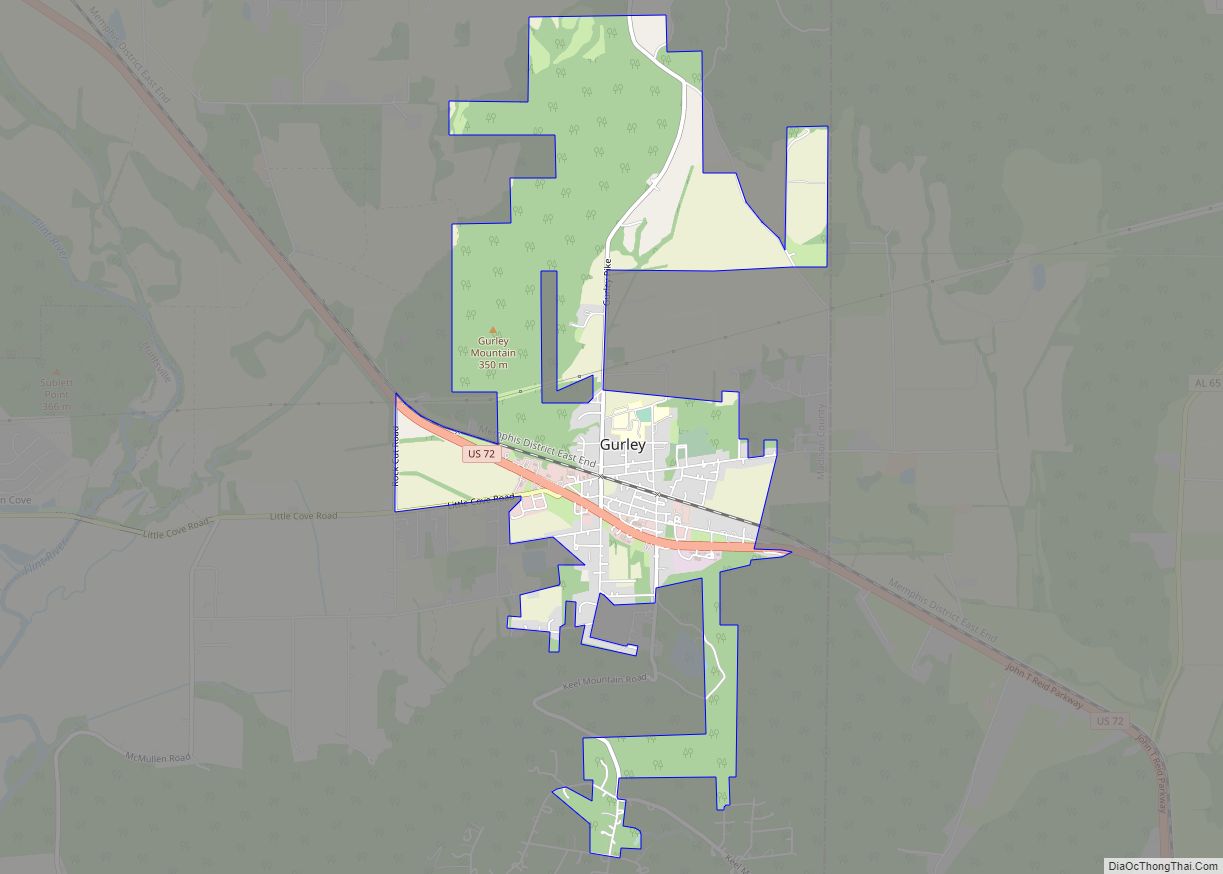
Gurley is a town in Madison County, Alabama, United States, and is included in the Huntsville-Decatur Combined Statistical Area. As of the 2020 census, the population of the town was 816.
| Name: | Gurley town |
|---|---|
| LSAD Code: | 43 |
| LSAD Description: | town (suffix) |
| State: | Alabama |
| County: | Madison County |
| Elevation: | 965 ft (294 m) |
| Total Area: | 3.55 sq mi (9.20 km²) |
| Land Area: | 3.55 sq mi (9.19 km²) |
| Water Area: | 0.00 sq mi (0.00 km²) |
| Total Population: | 816 |
| Population Density: | 229.9/sq mi (88.75/km²) |
| ZIP code: | 35748 |
| Area code: | 256 |
| FIPS code: | 0132440 |
| GNISfeature ID: | 2406631 |
| Website: | www.townofgurleyal.com |
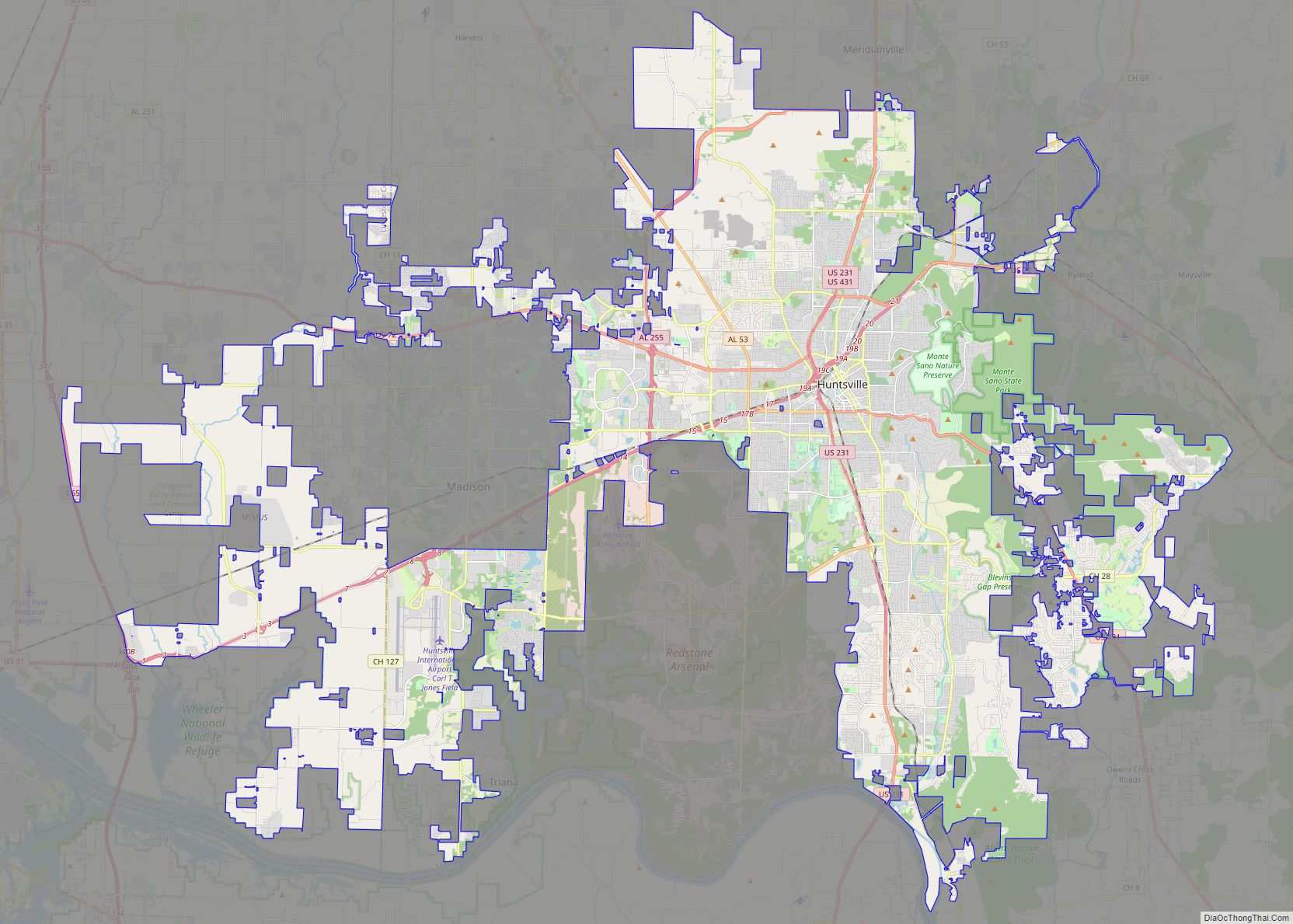
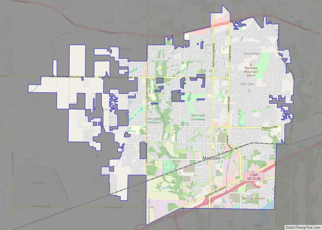
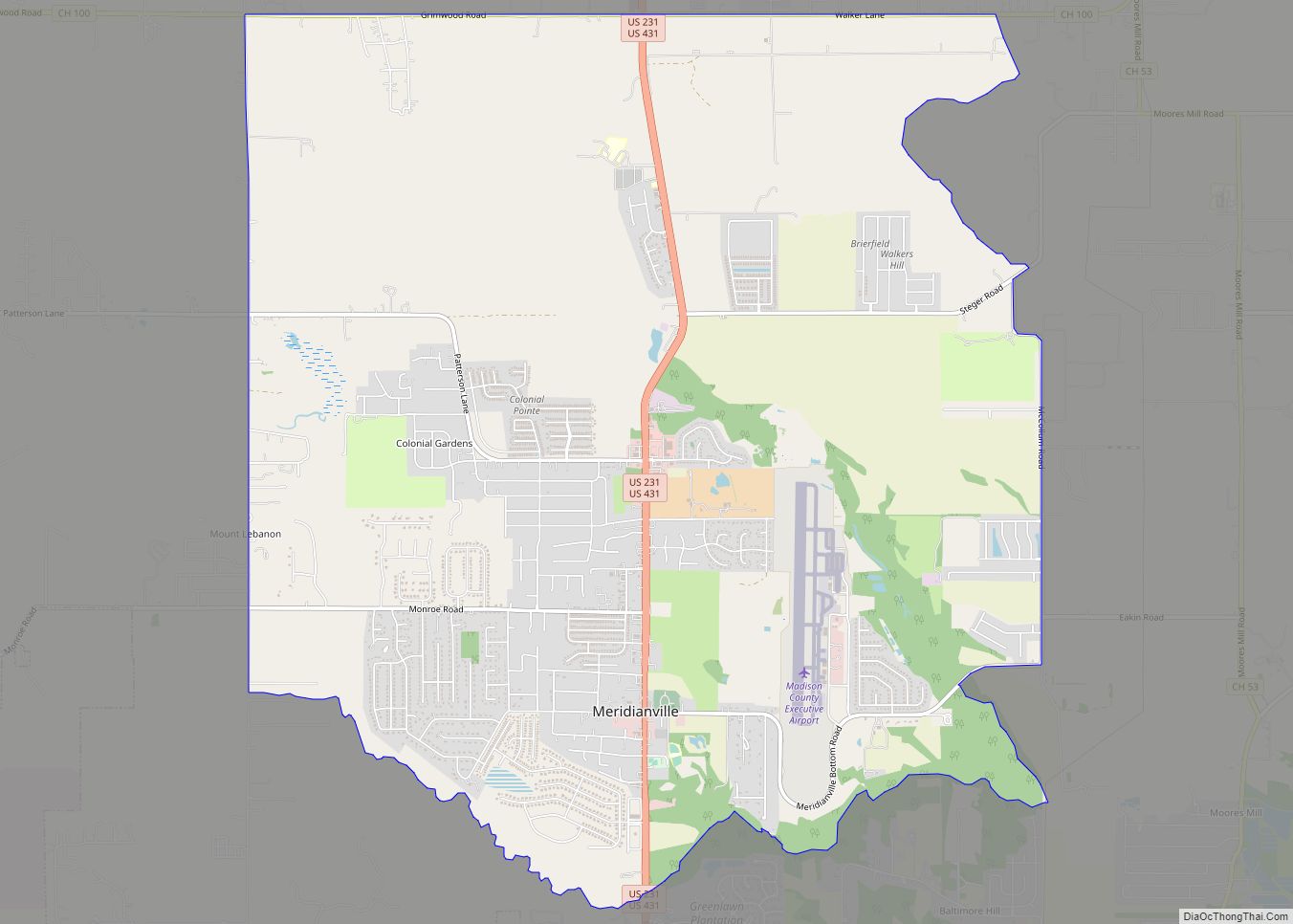
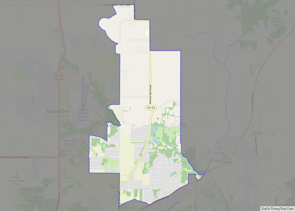
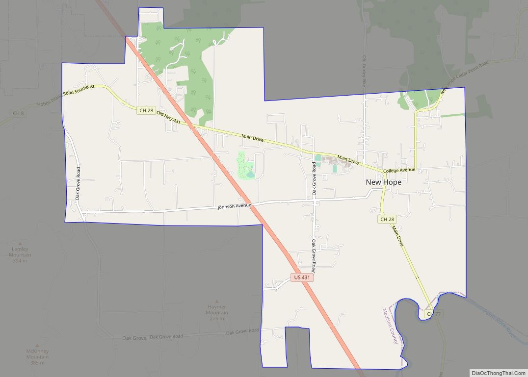
Online Interactive Map
Click on ![]() to view map in "full screen" mode.
to view map in "full screen" mode.
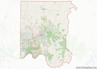
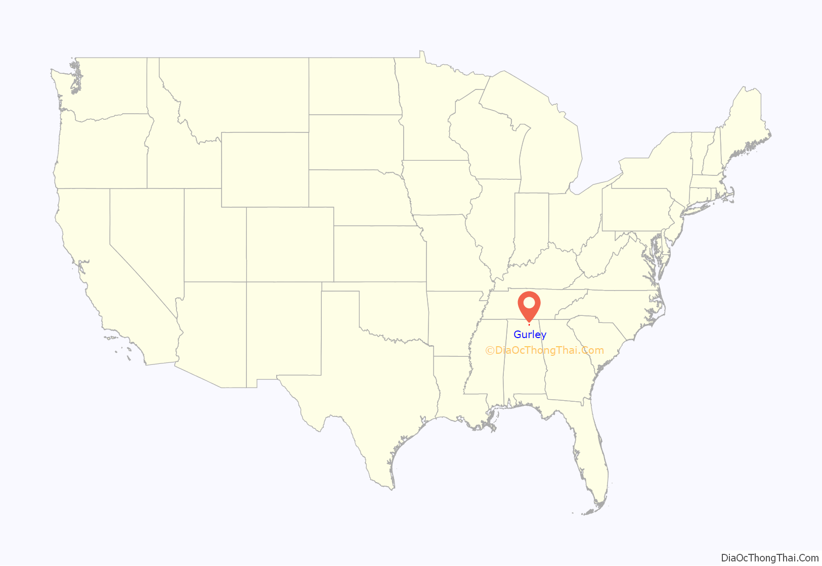
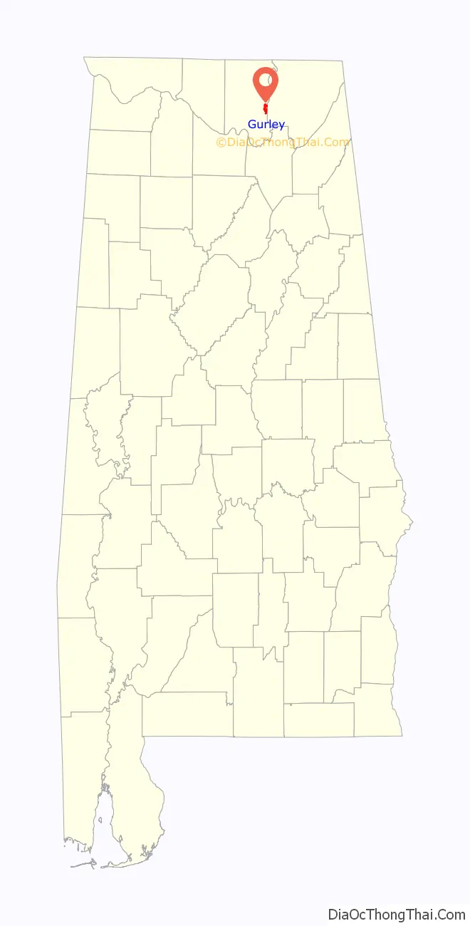
Gurley location map. Where is Gurley town?
History
The community takes its name from the Gurley family, who settled in the area in 1817. The town gradually formed around a water and coaling stop of the Memphis & Charleston Railroad and was originally known as “Gurley’s Tank”. In 1866, the post office opened, and the name was changed to “Gurleysville”; it was later shortened back to Gurley. Gurley was incorporated in 1891 with 250 residents. Soon after, the population peaked at 1,000. The business district was nearly destroyed by fire in 1923, when a bucket brigade was able to save only two businesses. Most of the town is now included in the Gurley Historic District, which was listed on the National Register of Historic Places in 2004.
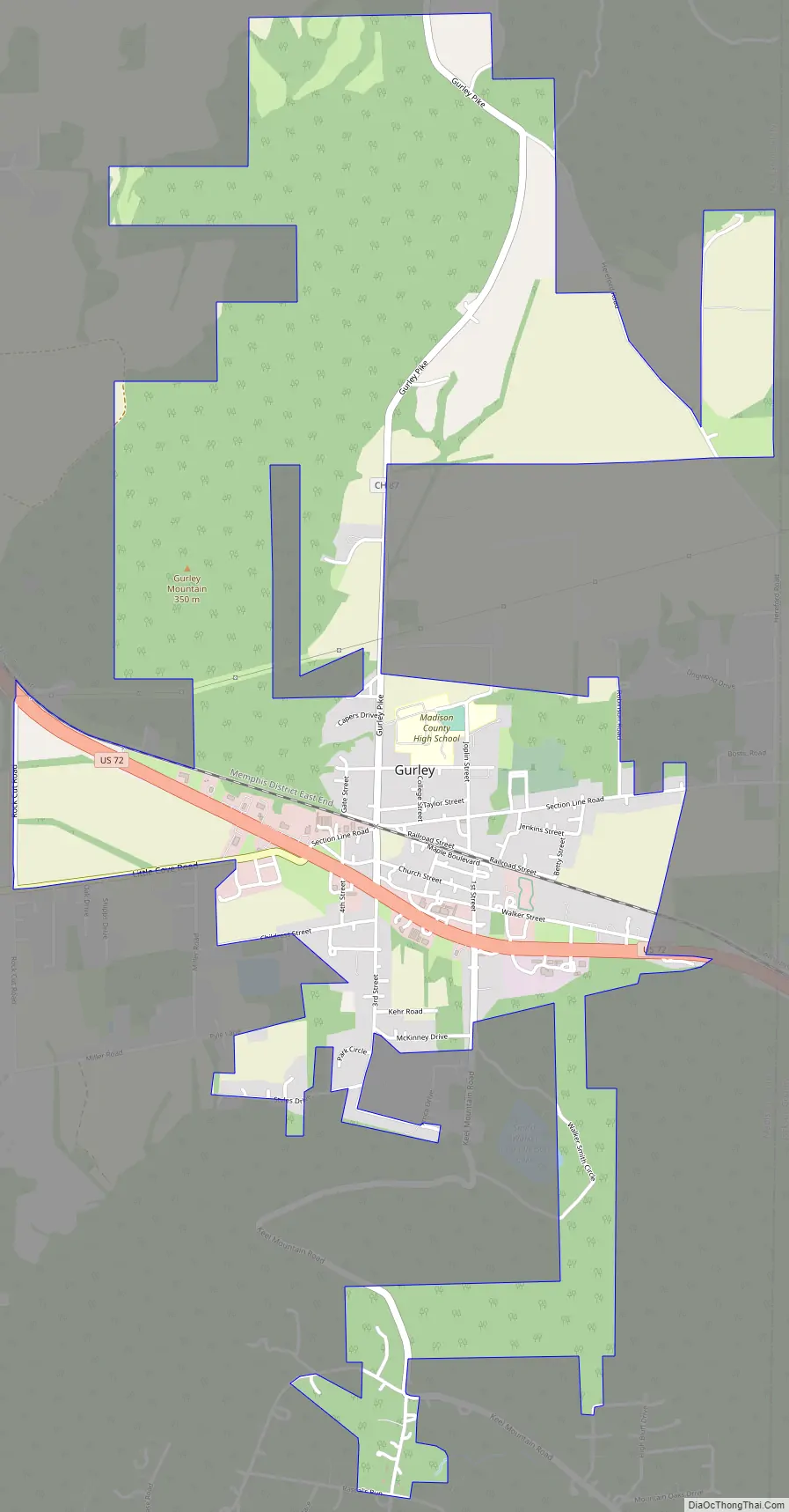
Gurley Road Map
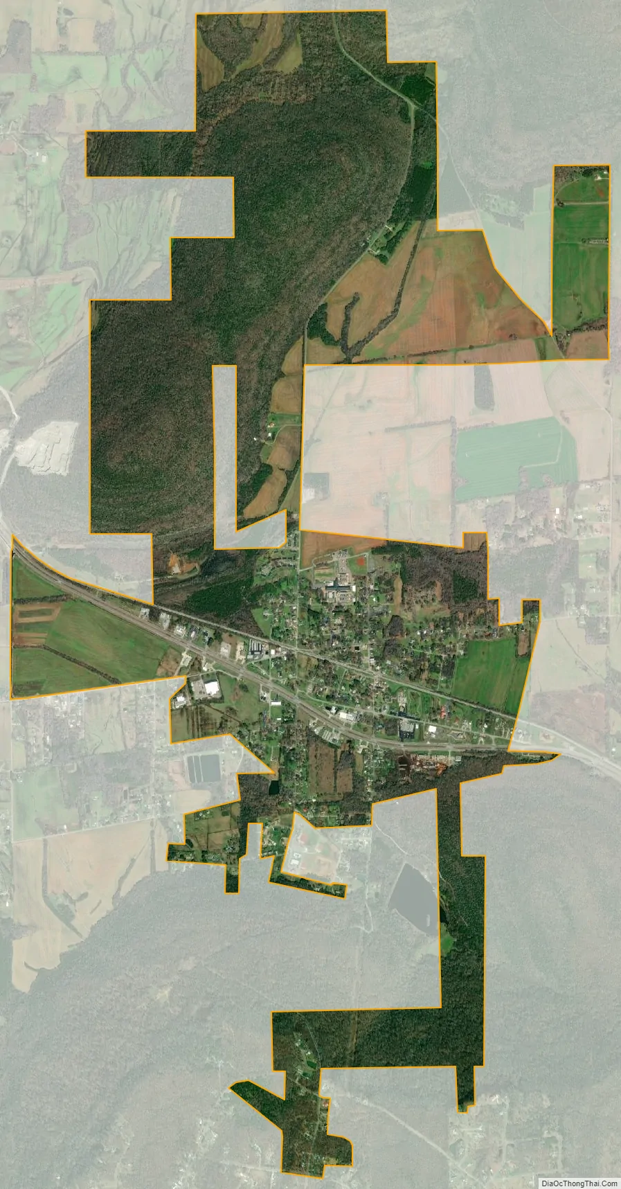
Gurley city Satellite Map
Geography
Gurley is located in eastern Madison County at 34°42′1″N 86°22′35″W / 34.70028°N 86.37639°W / 34.70028; -86.37639 (34.700164, -86.376469), along U.S. Route 72. Huntsville is 16 miles (26 km) to the west, and Scottsboro is 26 miles (42 km) to the east.
According to the U.S. Census Bureau, Gurley has a total area of 3.6 square miles (9.2 km), all land.
See also
Map of Alabama State and its subdivision:- Autauga
- Baldwin
- Barbour
- Bibb
- Blount
- Bullock
- Butler
- Calhoun
- Chambers
- Cherokee
- Chilton
- Choctaw
- Clarke
- Clay
- Cleburne
- Coffee
- Colbert
- Conecuh
- Coosa
- Covington
- Crenshaw
- Cullman
- Dale
- Dallas
- De Kalb
- Elmore
- Escambia
- Etowah
- Fayette
- Franklin
- Geneva
- Greene
- Hale
- Henry
- Houston
- Jackson
- Jefferson
- Lamar
- Lauderdale
- Lawrence
- Lee
- Limestone
- Lowndes
- Macon
- Madison
- Marengo
- Marion
- Marshall
- Mobile
- Monroe
- Montgomery
- Morgan
- Perry
- Pickens
- Pike
- Randolph
- Russell
- Saint Clair
- Shelby
- Sumter
- Talladega
- Tallapoosa
- Tuscaloosa
- Walker
- Washington
- Wilcox
- Winston
- Alabama
- Alaska
- Arizona
- Arkansas
- California
- Colorado
- Connecticut
- Delaware
- District of Columbia
- Florida
- Georgia
- Hawaii
- Idaho
- Illinois
- Indiana
- Iowa
- Kansas
- Kentucky
- Louisiana
- Maine
- Maryland
- Massachusetts
- Michigan
- Minnesota
- Mississippi
- Missouri
- Montana
- Nebraska
- Nevada
- New Hampshire
- New Jersey
- New Mexico
- New York
- North Carolina
- North Dakota
- Ohio
- Oklahoma
- Oregon
- Pennsylvania
- Rhode Island
- South Carolina
- South Dakota
- Tennessee
- Texas
- Utah
- Vermont
- Virginia
- Washington
- West Virginia
- Wisconsin
- Wyoming