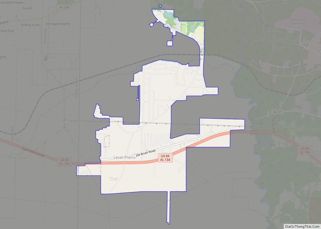
Level Plains is a small town in Dale County, Alabama, United States. At the 2020 census, the population was 1,825. It is part of the Ozark micropolitan statistical area. Level Plains was ranked as a city from 2010 to 2020, but due to a population decline reverted to a town after the 2020 Census.
Mayor Ronnie Thompson is the current and ninth mayor to serve since the town was incorporated on April 30, 1965. Thompson previously served as councilmember.
| Name: | Level Plains town |
|---|---|
| LSAD Code: | 43 |
| LSAD Description: | town (suffix) |
| State: | Alabama |
| County: | Dale County |
| Elevation: | 315 ft (96 m) |
| Total Area: | 3.07 sq mi (7.94 km²) |
| Land Area: | 3.07 sq mi (7.94 km²) |
| Water Area: | 0.00 sq mi (0.00 km²) |
| Total Population: | 1,825 |
| Population Density: | 595.04/sq mi (229.72/km²) |
| ZIP code: | 36322 |
| Area code: | 334 |
| FIPS code: | 0142472 |
| GNISfeature ID: | 0152024 |
Online Interactive Map
Click on ![]() to view map in "full screen" mode.
to view map in "full screen" mode.
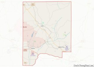
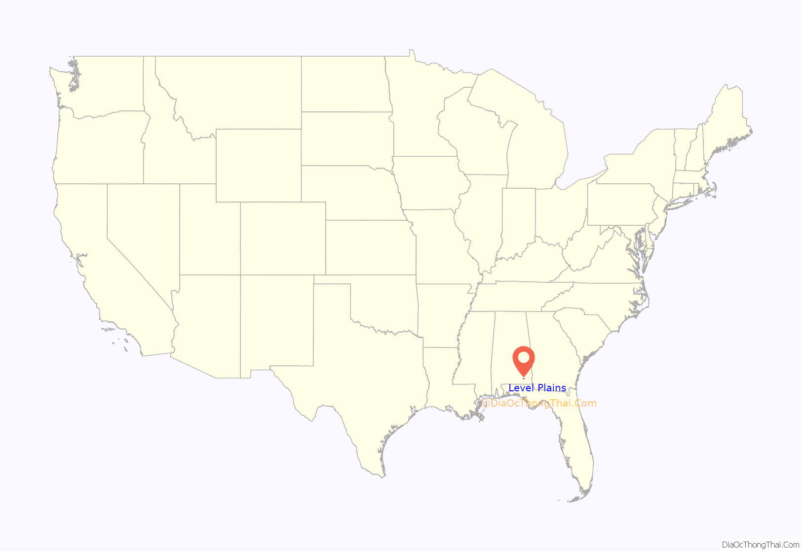
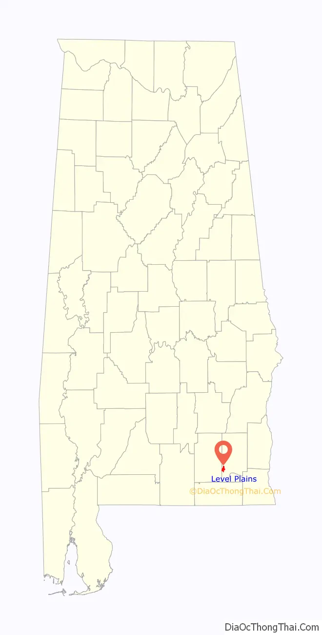
Level Plains location map. Where is Level Plains town?
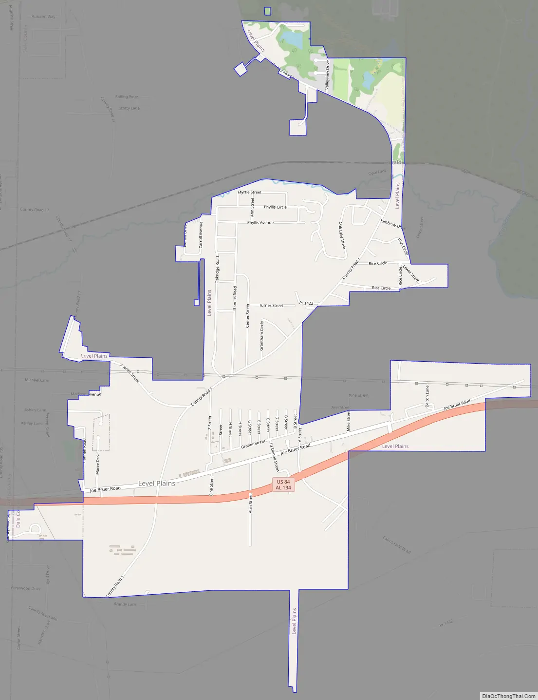
Level Plains Road Map
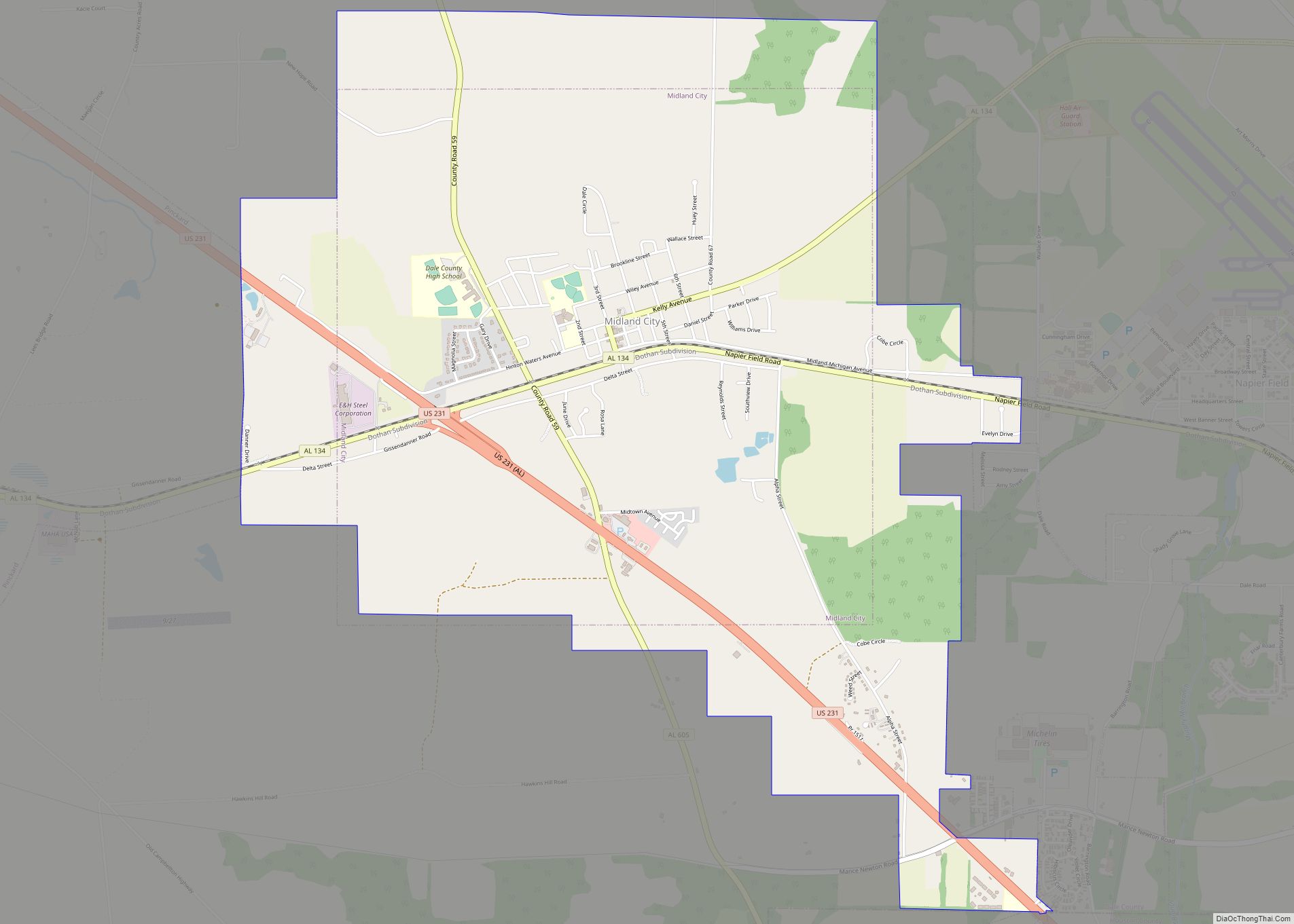
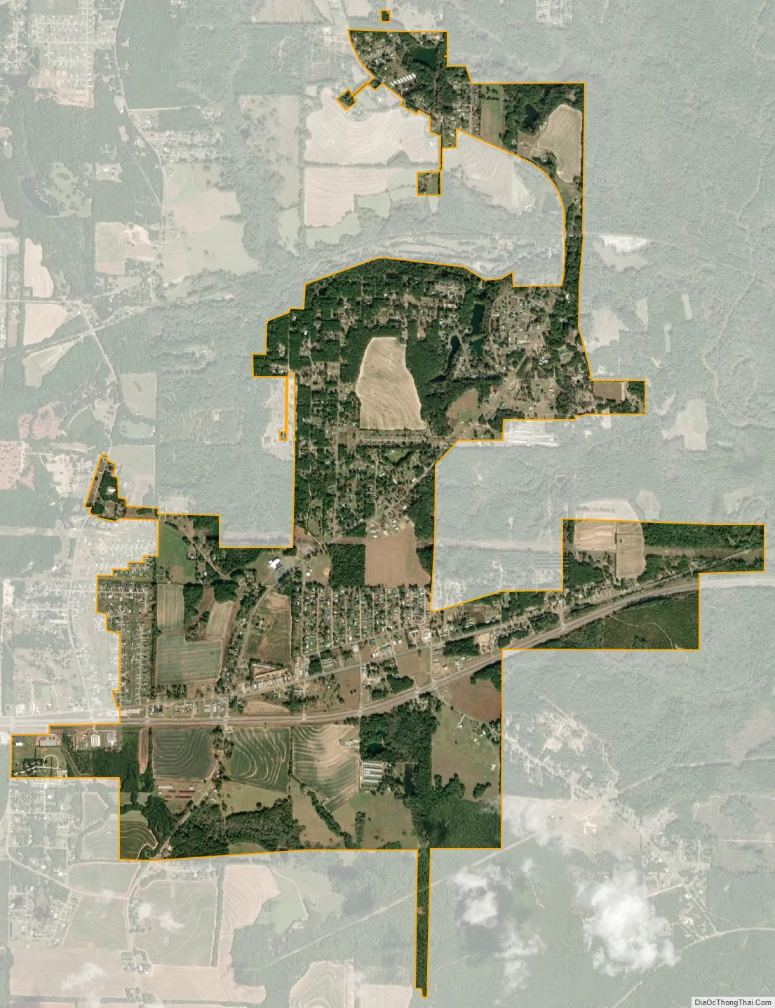
Level Plains city Satellite Map
Geography
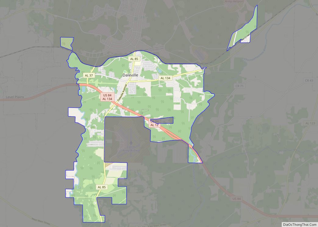
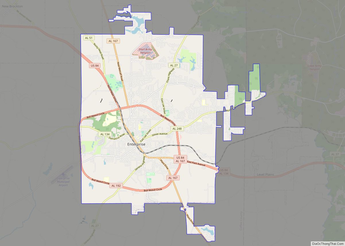
Level Plains is located in southwestern Dale County at 31°18′49″N 85°46′2″W / 31.31361°N 85.76722°W / 31.31361; -85.76722 (31.313659, -85.767307), between Daleville to the east and Enterprise to the west. U.S. Route 84 passes through the middle of the community.
According to the U.S. Census Bureau, the town has a total area of 3.1 square miles (7.9 km), all land.
See also
Map of Alabama State and its subdivision:- Autauga
- Baldwin
- Barbour
- Bibb
- Blount
- Bullock
- Butler
- Calhoun
- Chambers
- Cherokee
- Chilton
- Choctaw
- Clarke
- Clay
- Cleburne
- Coffee
- Colbert
- Conecuh
- Coosa
- Covington
- Crenshaw
- Cullman
- Dale
- Dallas
- De Kalb
- Elmore
- Escambia
- Etowah
- Fayette
- Franklin
- Geneva
- Greene
- Hale
- Henry
- Houston
- Jackson
- Jefferson
- Lamar
- Lauderdale
- Lawrence
- Lee
- Limestone
- Lowndes
- Macon
- Madison
- Marengo
- Marion
- Marshall
- Mobile
- Monroe
- Montgomery
- Morgan
- Perry
- Pickens
- Pike
- Randolph
- Russell
- Saint Clair
- Shelby
- Sumter
- Talladega
- Tallapoosa
- Tuscaloosa
- Walker
- Washington
- Wilcox
- Winston
- Alabama
- Alaska
- Arizona
- Arkansas
- California
- Colorado
- Connecticut
- Delaware
- District of Columbia
- Florida
- Georgia
- Hawaii
- Idaho
- Illinois
- Indiana
- Iowa
- Kansas
- Kentucky
- Louisiana
- Maine
- Maryland
- Massachusetts
- Michigan
- Minnesota
- Mississippi
- Missouri
- Montana
- Nebraska
- Nevada
- New Hampshire
- New Jersey
- New Mexico
- New York
- North Carolina
- North Dakota
- Ohio
- Oklahoma
- Oregon
- Pennsylvania
- Rhode Island
- South Carolina
- South Dakota
- Tennessee
- Texas
- Utah
- Vermont
- Virginia
- Washington
- West Virginia
- Wisconsin
- Wyoming