Daleville is a city in Dale County, Alabama, United States. At the 2010 census the population was 5,295, up from 4,653 in 2000. It is part of the Ozark Micropolitan Statistical Area. The city’s nickname is “Gateway to Fort Rucker”, as this U.S. Army post is located just north of town. Cairns Army Airfield is located to the south of Daleville on the road to nearby Clayhatchee.
| Name: | Daleville city |
|---|---|
| LSAD Code: | 25 |
| LSAD Description: | city (suffix) |
| State: | Alabama |
| County: | Dale County |
| Elevation: | 331 ft (101 m) |
| Total Area: | 14.14 sq mi (36.63 km²) |
| Land Area: | 14.14 sq mi (36.63 km²) |
| Water Area: | 0.00 sq mi (0.00 km²) |
| Total Population: | 4,866 |
| Population Density: | 344.06/sq mi (132.84/km²) |
| ZIP code: | 36322 |
| Area code: | 334 |
| FIPS code: | 0119360 |
| GNISfeature ID: | 0117016 |
| Website: | dalevilleal.com |
Online Interactive Map
Click on ![]() to view map in "full screen" mode.
to view map in "full screen" mode.
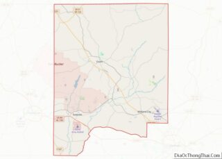
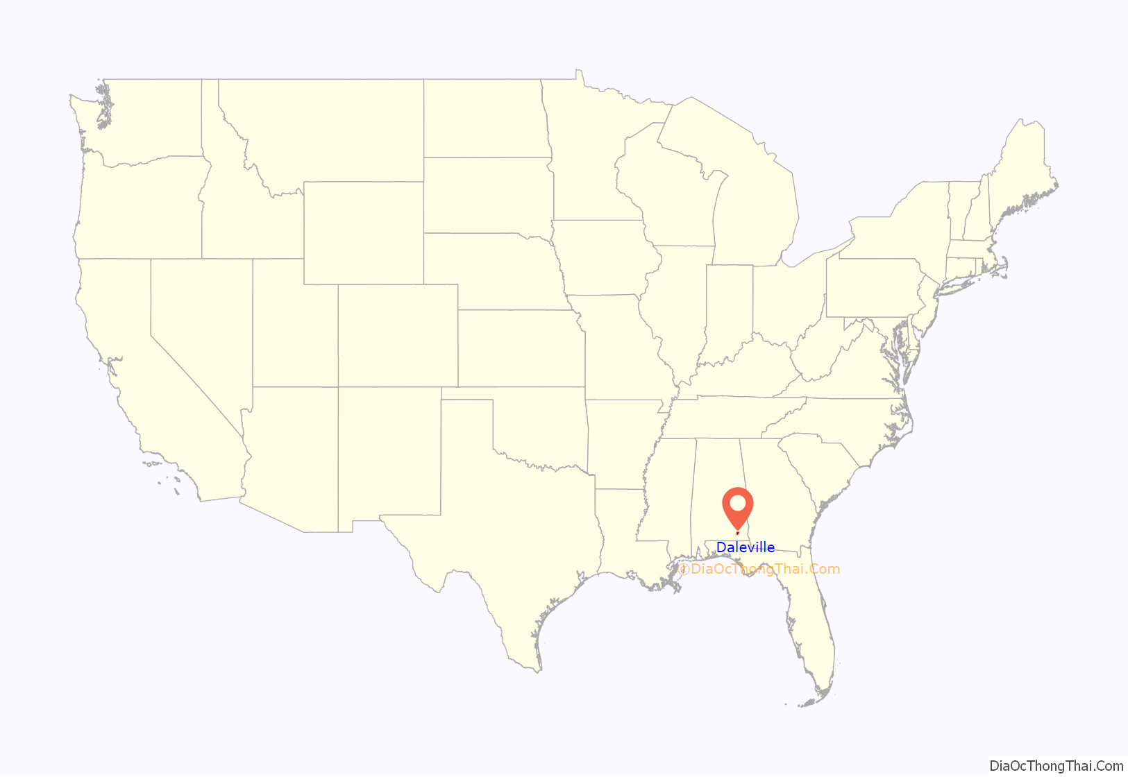
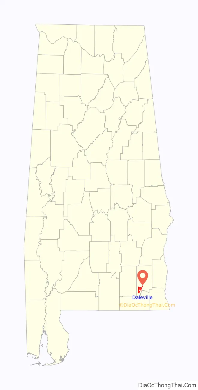
Daleville location map. Where is Daleville city?
History
Daleville, originally known as “Dale’s Court House”, was founded in 1827 by veterans of the Creek Indian War who had settled in Dale County following that conflict. It was established as the original county seat of Dale County in 1827 but lost that honor when Coffee County split from Dale in 1841, at which time the seat was moved first to Newton, and then later to Ozark in 1870, where it remains today.
The name of Daleville was adopted in 1848. Daleville voted to incorporate in 1912, but rescinded it in 1916. It later voted for incorporation in 1958.
Residents of the town formed portions of two regiments of the Confederate States Army during the U.S. Civil War: the 15th Alabama Infantry, famed for charging the 20th Maine on Little Round Top during the Battle of Gettysburg, and the 33rd Alabama Infantry. In the latter regiment, Company “G”, called the “Daleville Blues”, was recruited entirely from Daleville. Several men from this company were killed in a freak train derailment on November 4, 1862, near Cleveland, Tennessee; the remainder would fight with the rest of the 33rd in the Confederate Army of Tennessee until the final surrender in 1865.
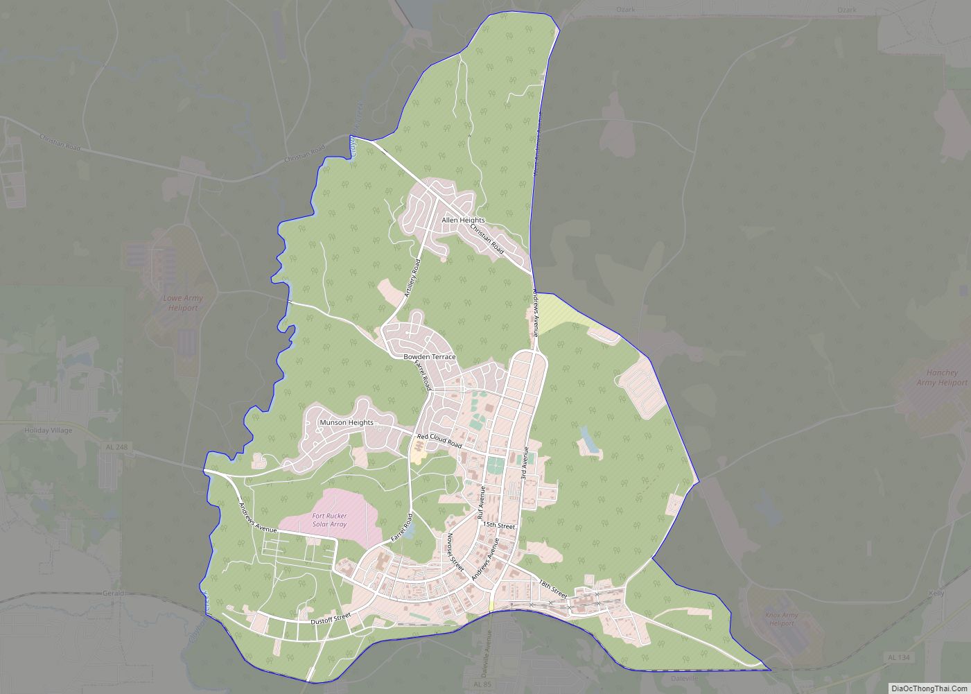
Long a tiny farming community, Daleville saw significant expansion during the mid-to-late twentieth century with the establishment and enlargement of Fort Novosel, the U.S. Army’s primary aviation training post. Douglas Brown, a former mayor of Ozark, teamed up with two Georgia businessmen, L.C. Hall and Bob Culpepper, to develop the city. Securing a 1.5 million dollar loan, the trio purchased 400 acres (1.6 km) of land in Daleville, constructed a lagoon sewer system and began to build the town house by house, shopping center by shopping center. Numerous military personnel then made their homes in the community, and many elected to stay after their retirement or otherwise completing their service obligation. This large military presence gives the town a more cosmopolitan populace than other area towns farther away from the base.
Daleville was the victim of an F1 tornado on November 24, 2001, part of the Arkansas-Mississippi-Alabama tornado outbreak that occurred on November 23 and 24 of that year. Two restaurants and two industrial buildings were destroyed; a local lounge suffered severe damage as well. Also damaged were maintenance buildings, one aircraft, 25 businesses, a church, gas station, two supermarkets, a bank and several homes. 25 people inside the lounge were injured, but no fatalities were reported.
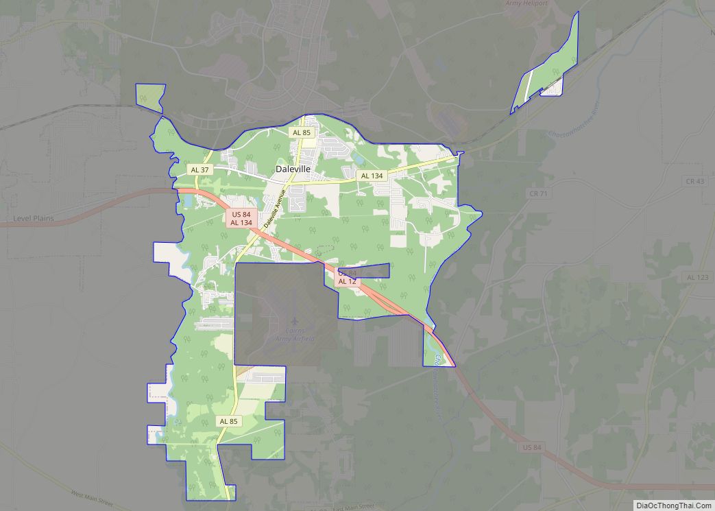
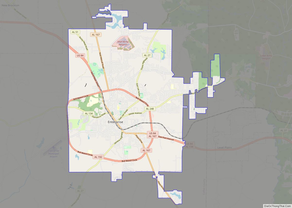
Daleville Road Map
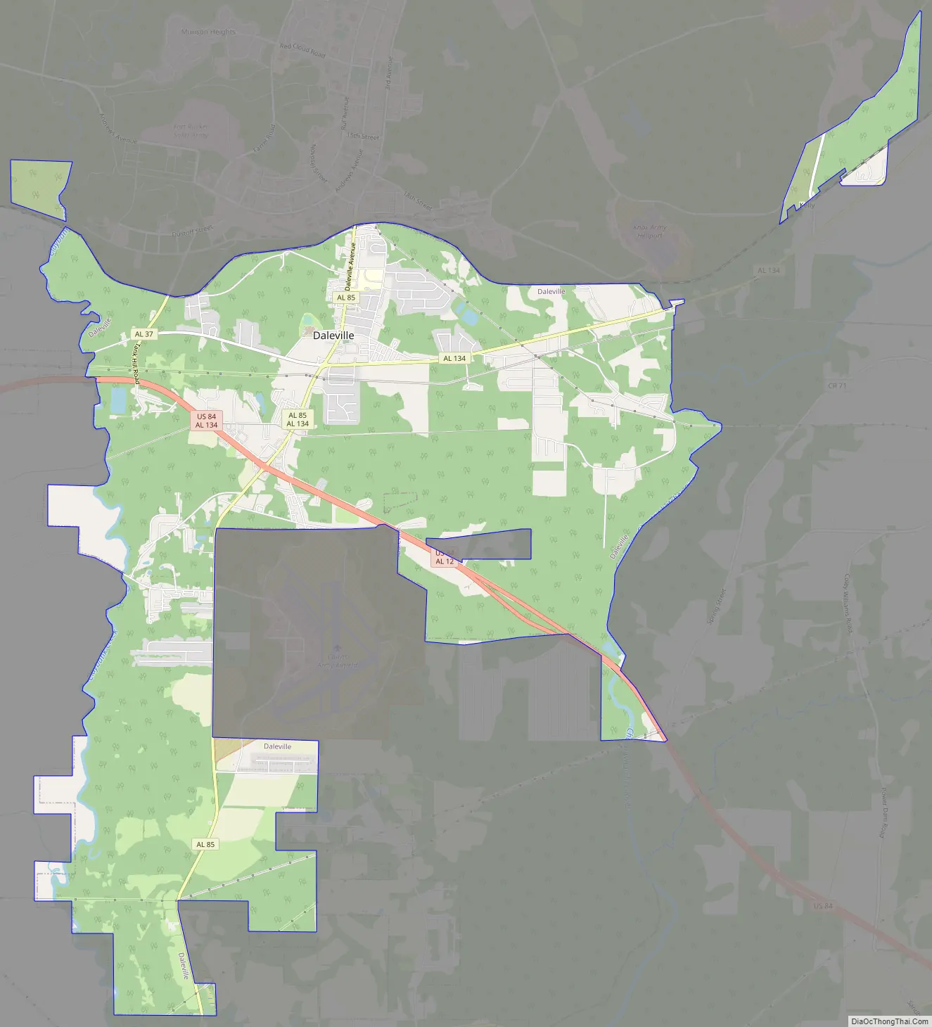
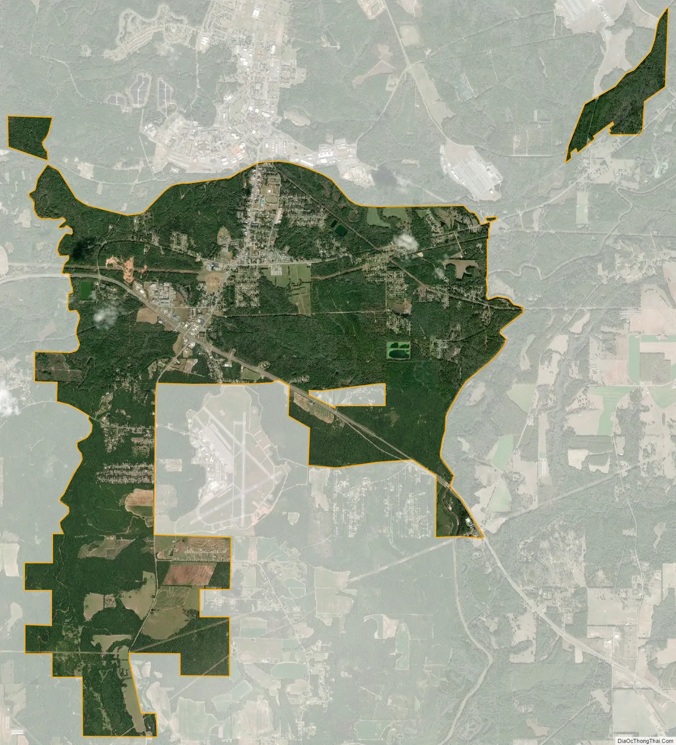
Daleville city Satellite Map
Geography
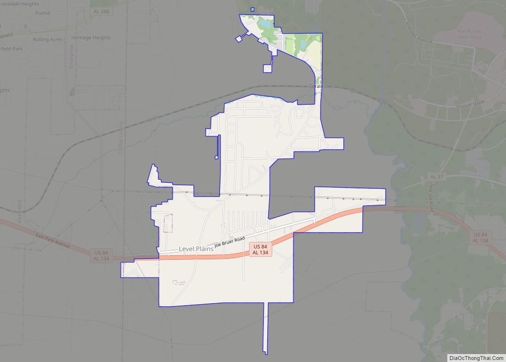
Daleville is located in southwestern Dale County at 31°18′9″N 85°42′40″W / 31.30250°N 85.71111°W / 31.30250; -85.71111 (31.302496, -85.711083). U.S. Highway 84 passes through the southern part of the city, leading east 21 miles (34 km) to Dothan and west 10 miles (16 km) to Enterprise. Daleville is the northern terminus of Alabama State Route 85, which runs south from the city 23 miles (37 km) to Geneva. This route intersects with US 84 on the south side of town. Alabama State Route 134 runs east from Daleville 7 miles (11 km) toward Newton; westbound 134 joins U.S. 84 to continue on to Enterprise.
According to the U.S. Census Bureau, Daleville has a total area of 14.1 square miles (36.5 km), all land. The Choctawhatchee River flows a few miles east of the city.
See also
Map of Alabama State and its subdivision:- Autauga
- Baldwin
- Barbour
- Bibb
- Blount
- Bullock
- Butler
- Calhoun
- Chambers
- Cherokee
- Chilton
- Choctaw
- Clarke
- Clay
- Cleburne
- Coffee
- Colbert
- Conecuh
- Coosa
- Covington
- Crenshaw
- Cullman
- Dale
- Dallas
- De Kalb
- Elmore
- Escambia
- Etowah
- Fayette
- Franklin
- Geneva
- Greene
- Hale
- Henry
- Houston
- Jackson
- Jefferson
- Lamar
- Lauderdale
- Lawrence
- Lee
- Limestone
- Lowndes
- Macon
- Madison
- Marengo
- Marion
- Marshall
- Mobile
- Monroe
- Montgomery
- Morgan
- Perry
- Pickens
- Pike
- Randolph
- Russell
- Saint Clair
- Shelby
- Sumter
- Talladega
- Tallapoosa
- Tuscaloosa
- Walker
- Washington
- Wilcox
- Winston
- Alabama
- Alaska
- Arizona
- Arkansas
- California
- Colorado
- Connecticut
- Delaware
- District of Columbia
- Florida
- Georgia
- Hawaii
- Idaho
- Illinois
- Indiana
- Iowa
- Kansas
- Kentucky
- Louisiana
- Maine
- Maryland
- Massachusetts
- Michigan
- Minnesota
- Mississippi
- Missouri
- Montana
- Nebraska
- Nevada
- New Hampshire
- New Jersey
- New Mexico
- New York
- North Carolina
- North Dakota
- Ohio
- Oklahoma
- Oregon
- Pennsylvania
- Rhode Island
- South Carolina
- South Dakota
- Tennessee
- Texas
- Utah
- Vermont
- Virginia
- Washington
- West Virginia
- Wisconsin
- Wyoming