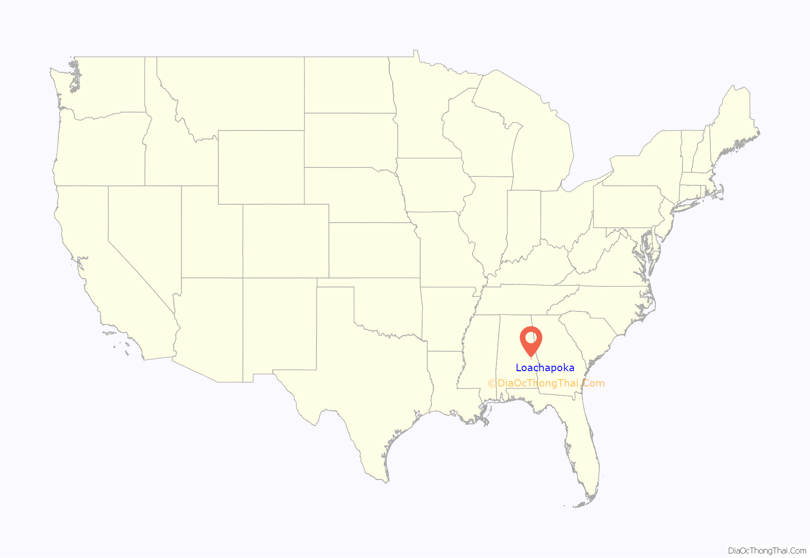
Loachapoka (/ˌloʊ.tʃəˈpoʊ.kə/) is a town in Lee County, Alabama, United States. It is located less than 1/2 mile west of Auburn and approximately 5 miles (8 km) west of Auburn University, in west-central Lee County. The population was 180 as of the 2010 census. It is part of the Auburn metropolitan area.
The name “Loachapoka” means “turtle killing place” in Muskogee, with locha meaning “turtle” and poga meaning “killing place.” In literature, Lochapoka was the destination of the colonists in James H. Street’s 1940 novel Oh, Promised Land.
Loachapoka is the location of the first Rosenwald School.
| Name: | Loachapoka town |
|---|---|
| LSAD Code: | 43 |
| LSAD Description: | town (suffix) |
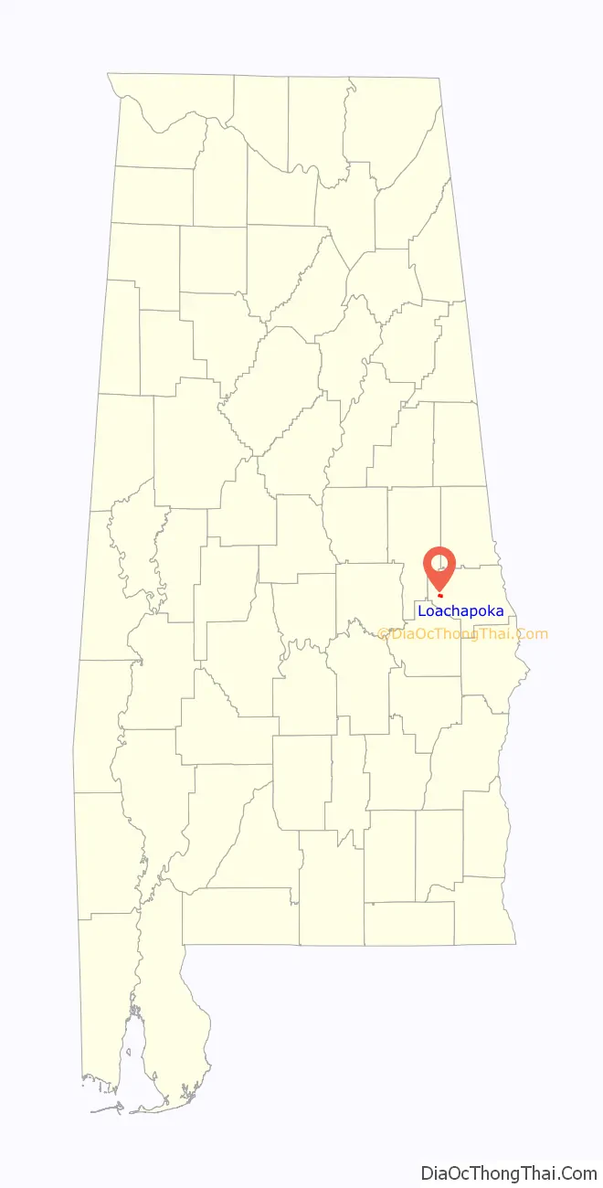
| State: | Alabama |
| County: | Lee County |
| Elevation: | 679 ft (207 m) |
| Total Area: | 1.15 sq mi (2.97 km²) |
| Land Area: | 1.14 sq mi (2.95 km²) |
| Water Area: | 0.01 sq mi (0.02 km²) |
| Total Population: | 160 |
| Population Density: | 140.60/sq mi (54.27/km²) |
| ZIP code: | 36865 |
| Area code: | 334 |
| FIPS code: | 0143744 |
| GNISfeature ID: | 0121934 |
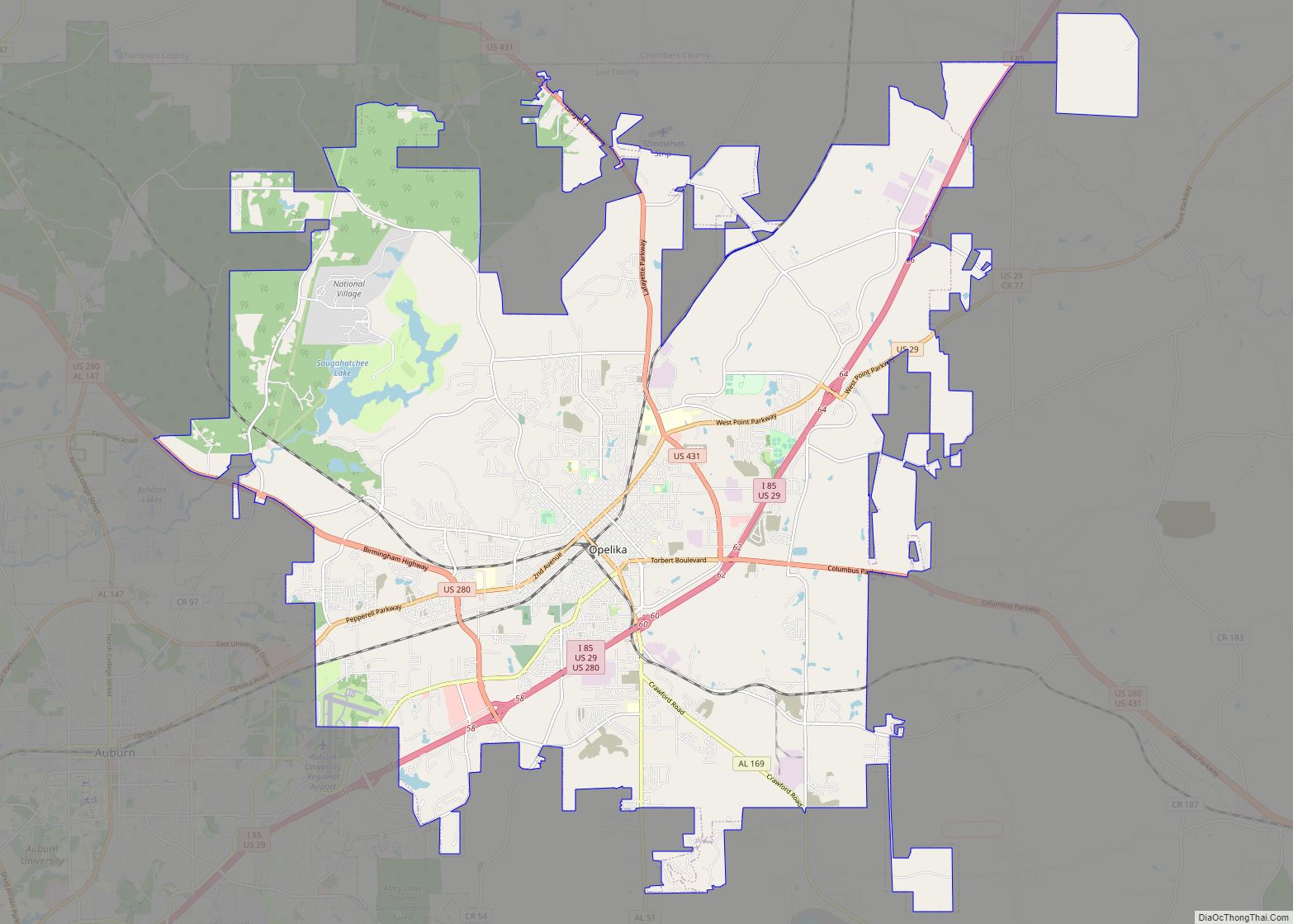
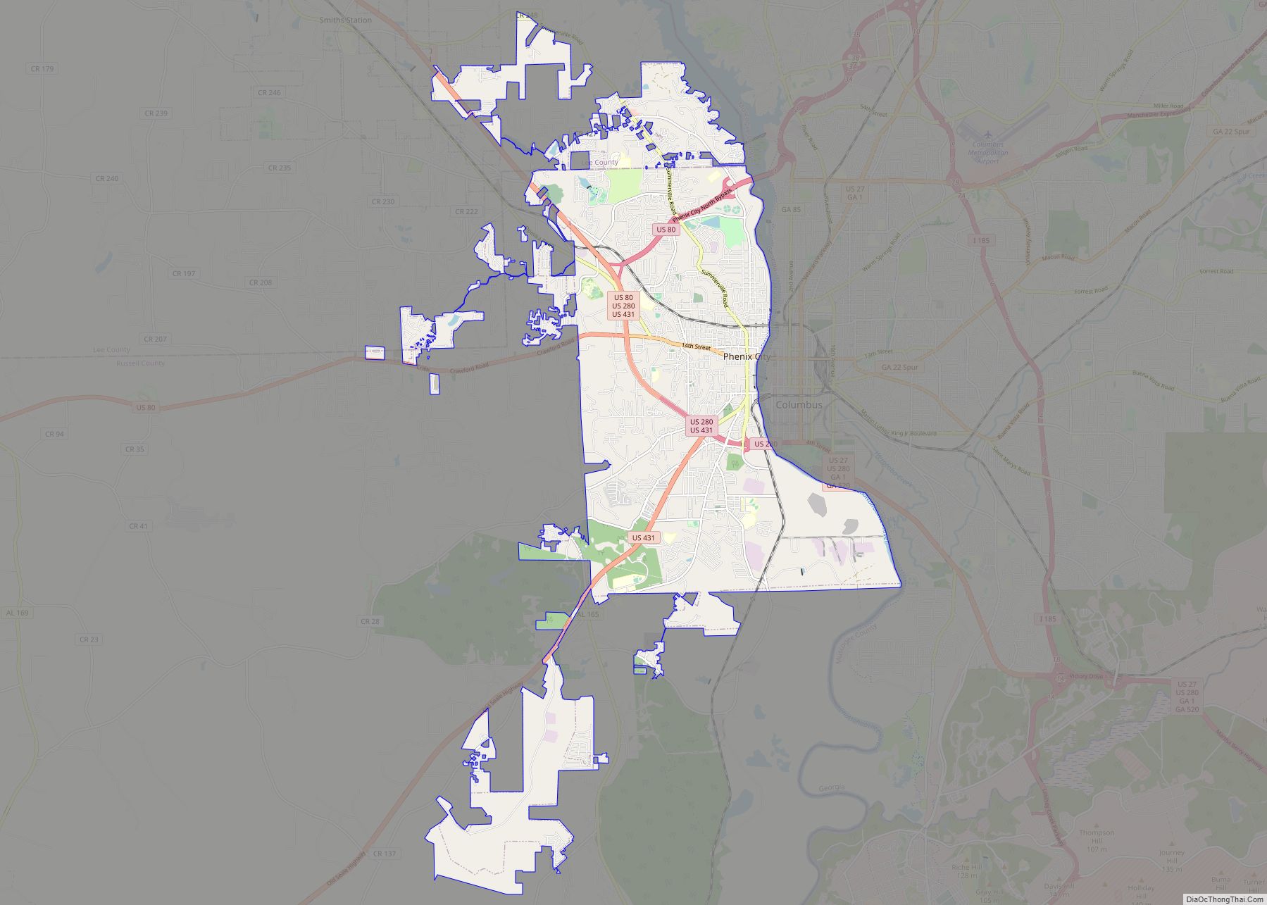
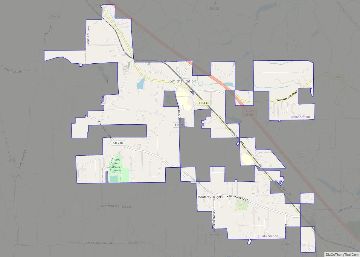
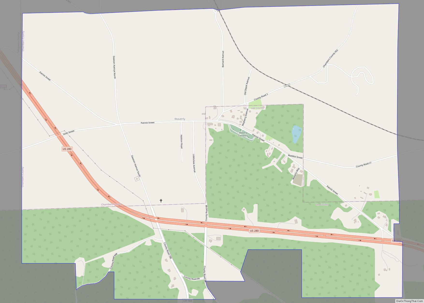
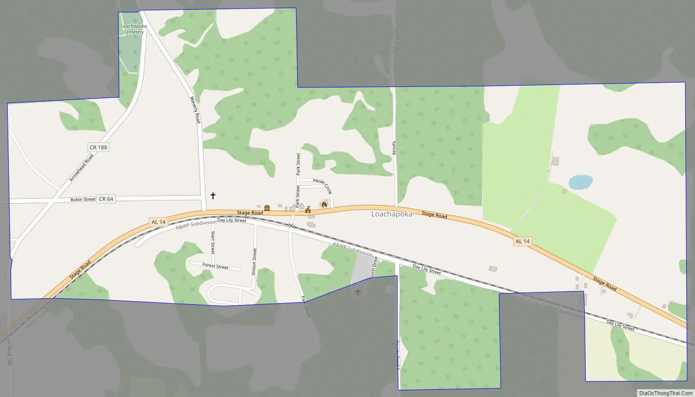
Online Interactive Map
Click on ![]() to view map in "full screen" mode.
to view map in "full screen" mode.
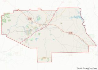
Loachapoka location map. Where is Loachapoka town?
History
Loachapoka was a Creek Indian town for some decades prior to white settlement. In the last census prior to the Native removal to Oklahoma, Loachapoka was found to have a population of 564. Upon settlement by Euro-Americans, Loachapoka—temporarily renamed Ball’s Fork—became the regional trade center, a position that was reinforced in 1845 when it became the easternmost point on the railroad to Montgomery. Loachapoka’s influence peaked in the early 1870s, when her population reached nearly 1,300. Within a few years, a collapse of trade due to the Panic of 1873 and additional rail lines in the area sent Loachapoka into economic decline. Loachapoka roughly stabilized as a small farming community by the mid-20th century, and by the early 2000s (decade) had become a small-town suburb of Auburn. The mayor of Loachapoka is Zach Holmes.
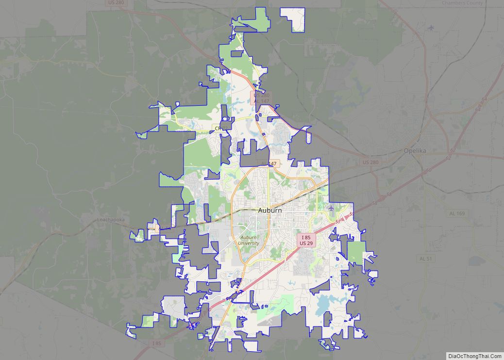
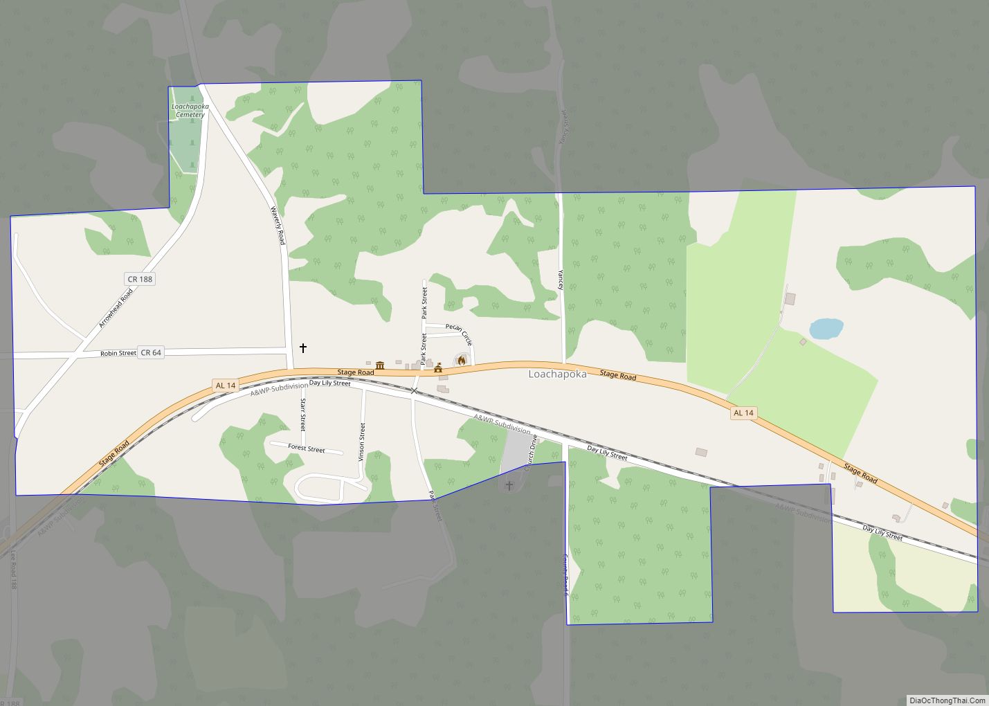
Loachapoka Road Map
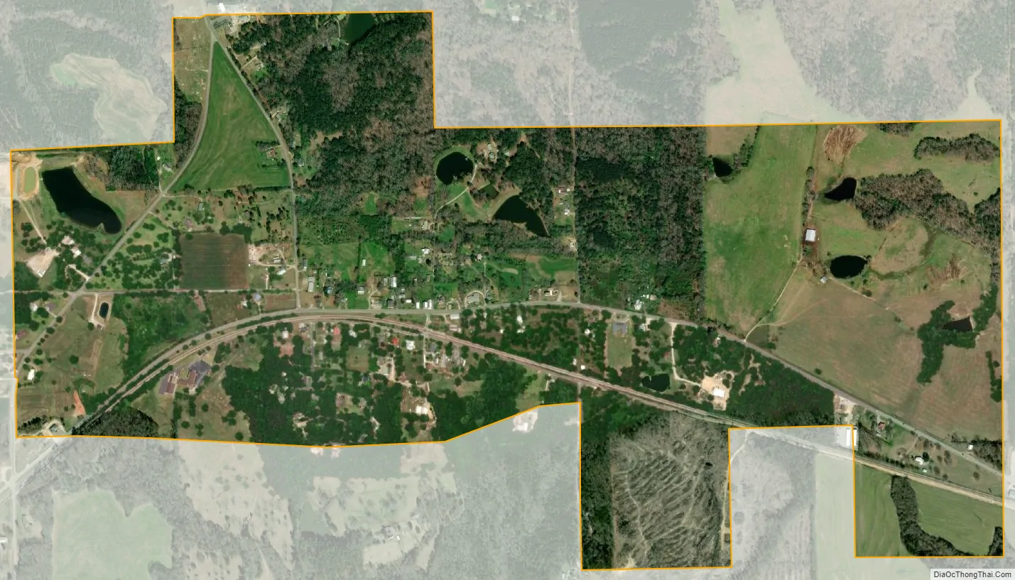
Loachapoka city Satellite Map
Geography
Loachapoka is located at 32°36′17″N 85°35′49″W / 32.60472°N 85.59694°W / 32.60472; -85.59694 (32.604844, -85.596890).
According to the U.S. Census Bureau, the town has a total area of 1.2 square miles (3.1 km), all land.
See also
Map of Alabama State and its subdivision:- Autauga
- Baldwin
- Barbour
- Bibb
- Blount
- Bullock
- Butler
- Calhoun
- Chambers
- Cherokee
- Chilton
- Choctaw
- Clarke
- Clay
- Cleburne
- Coffee
- Colbert
- Conecuh
- Coosa
- Covington
- Crenshaw
- Cullman
- Dale
- Dallas
- De Kalb
- Elmore
- Escambia
- Etowah
- Fayette
- Franklin
- Geneva
- Greene
- Hale
- Henry
- Houston
- Jackson
- Jefferson
- Lamar
- Lauderdale
- Lawrence
- Lee
- Limestone
- Lowndes
- Macon
- Madison
- Marengo
- Marion
- Marshall
- Mobile
- Monroe
- Montgomery
- Morgan
- Perry
- Pickens
- Pike
- Randolph
- Russell
- Saint Clair
- Shelby
- Sumter
- Talladega
- Tallapoosa
- Tuscaloosa
- Walker
- Washington
- Wilcox
- Winston
- Alabama
- Alaska
- Arizona
- Arkansas
- California
- Colorado
- Connecticut
- Delaware
- District of Columbia
- Florida
- Georgia
- Hawaii
- Idaho
- Illinois
- Indiana
- Iowa
- Kansas
- Kentucky
- Louisiana
- Maine
- Maryland
- Massachusetts
- Michigan
- Minnesota
- Mississippi
- Missouri
- Montana
- Nebraska
- Nevada
- New Hampshire
- New Jersey
- New Mexico
- New York
- North Carolina
- North Dakota
- Ohio
- Oklahoma
- Oregon
- Pennsylvania
- Rhode Island
- South Carolina
- South Dakota
- Tennessee
- Texas
- Utah
- Vermont
- Virginia
- Washington
- West Virginia
- Wisconsin
- Wyoming