Magnolia Springs is a town in south Baldwin County, Alabama, United States, in the Daphne-Fairhope-Foley metropolitan area. The town voted to incorporate in 2006. As of the 2010 census it had a population of 723.
| Name: | Magnolia Springs town |
|---|---|
| LSAD Code: | 43 |
| LSAD Description: | town (suffix) |
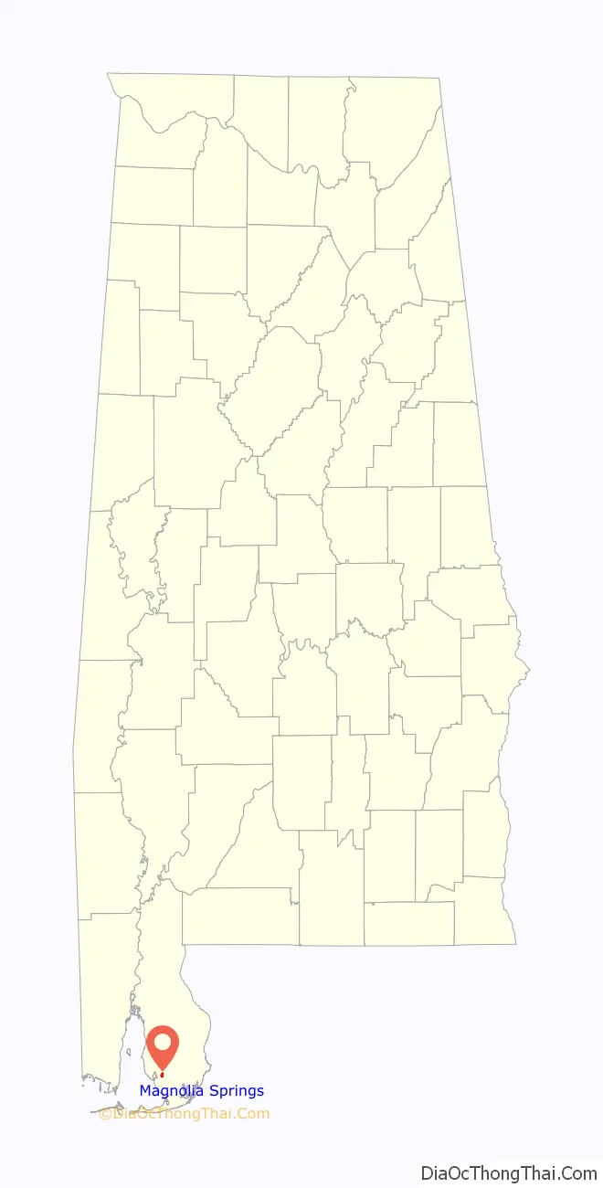
| State: | Alabama |
| County: | Baldwin County |
| Elevation: | 33 ft (10 m) |
| Total Area: | 0.96 sq mi (2.49 km²) |
| Land Area: | 0.90 sq mi (2.33 km²) |
| Water Area: | 0.06 sq mi (0.16 km²) |
| Total Population: | 811 |
| Population Density: | 902.11/sq mi (348.39/km²) |
| ZIP code: | 36555 |
| Area code: | 251 |
| FIPS code: | 0146072 |
| GNISfeature ID: | 122218 |
| Website: | www.townofmagnoliasprings.org |
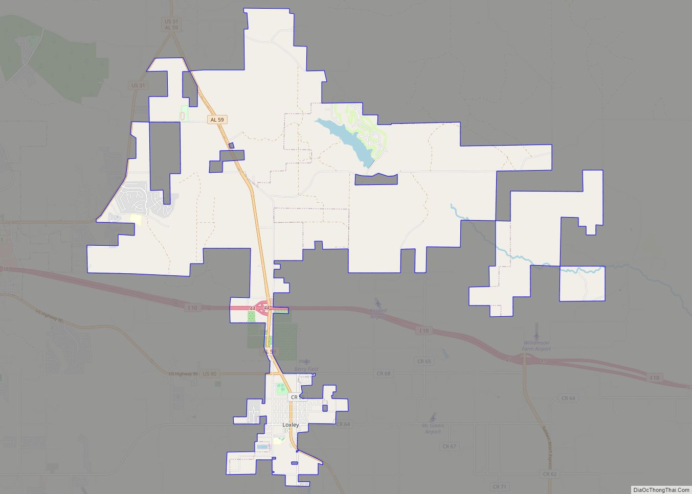
Online Interactive Map
Click on ![]() to view map in "full screen" mode.
to view map in "full screen" mode.
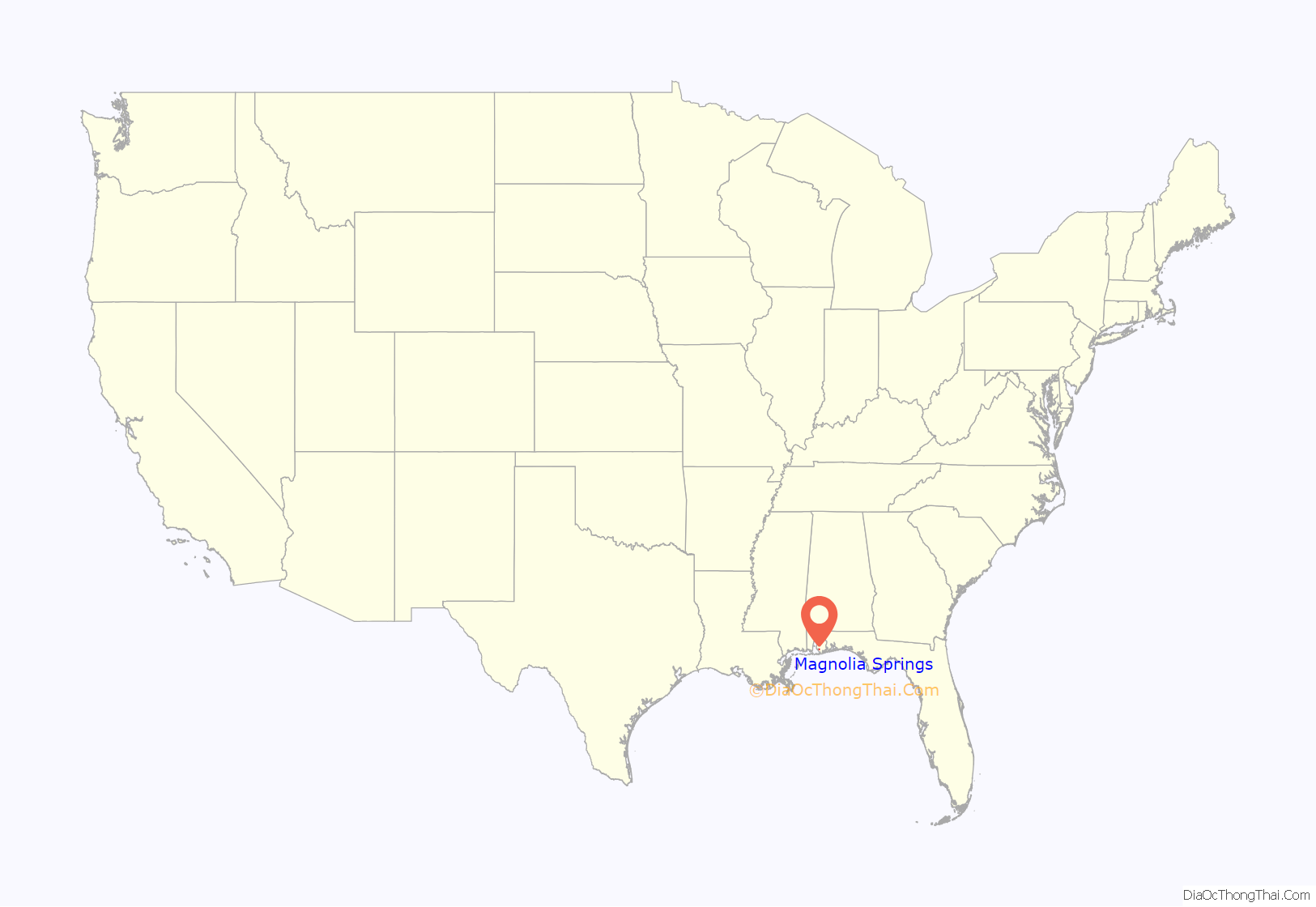
Magnolia Springs location map. Where is Magnolia Springs town?
History
Magnolia Springs is located at the headwaters of the Magnolia River, which was originally called River de Lin, or River del Salto by local residents. Various boats and steamships brought travelers into the area.
The largest enterprise in the area was turpentine distillation. These stills were burned by their owners in 1865 to prevent them from being captured when Union soldiers began amassing in the area.
Several structures in the town are on the National Register of Historic Places, including Moore’s Grocery and St. Paul’s Episcopal Church.
In May 2006 residents voted 224–96 to approve incorporation. The election results were certified by Baldwin County Probate Judge Adrian Johns on June 29, 2006. Magnolia Springs recognizes this date as the town’s anniversary.
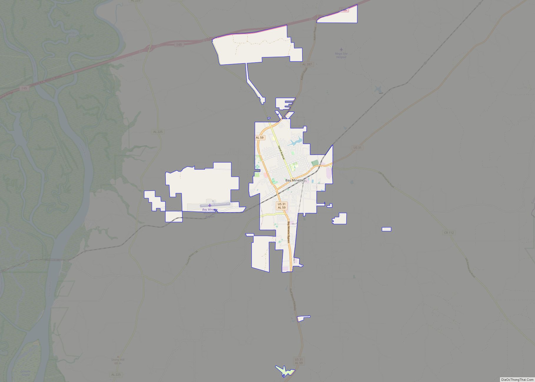
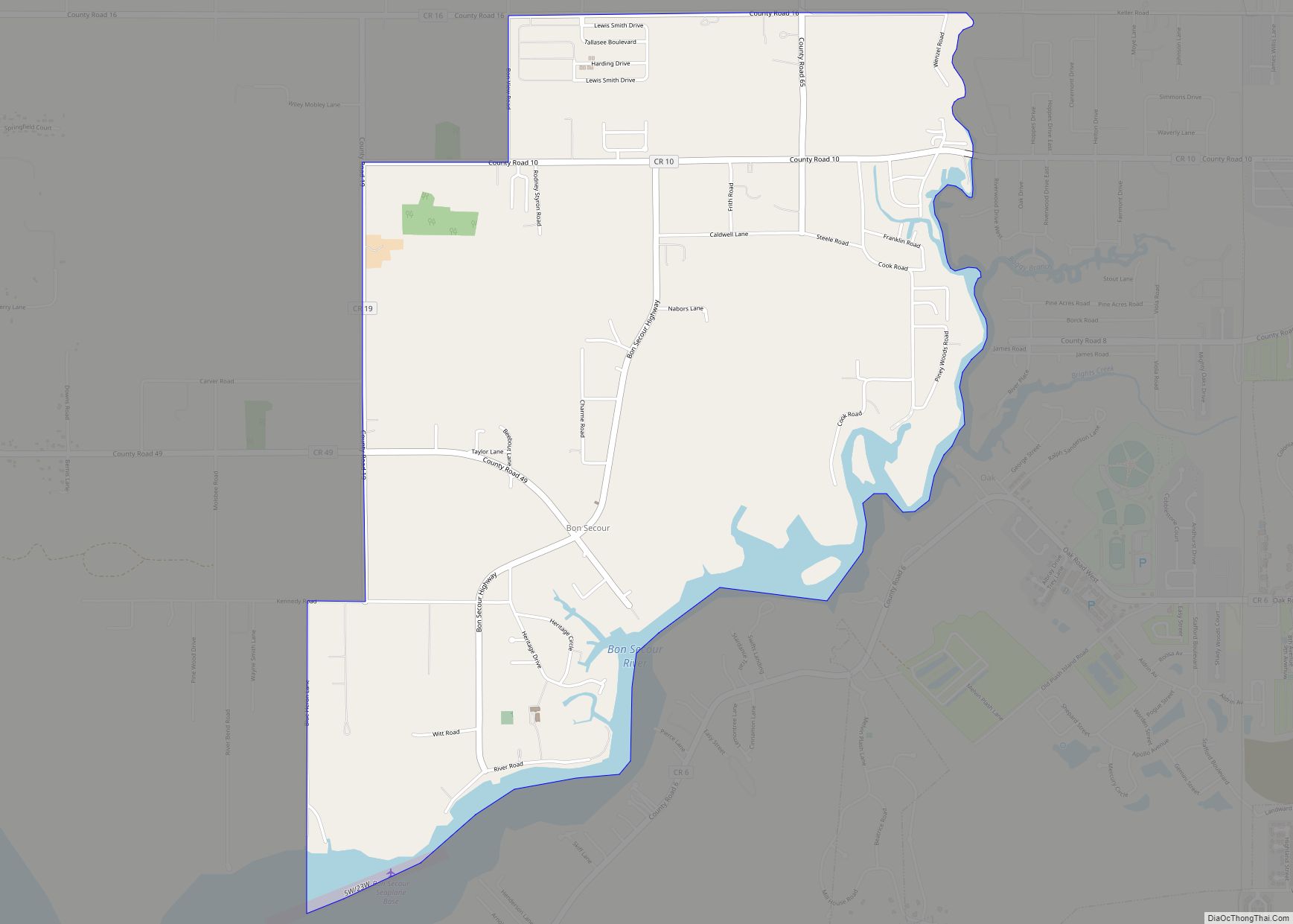
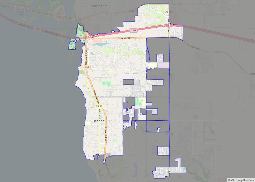
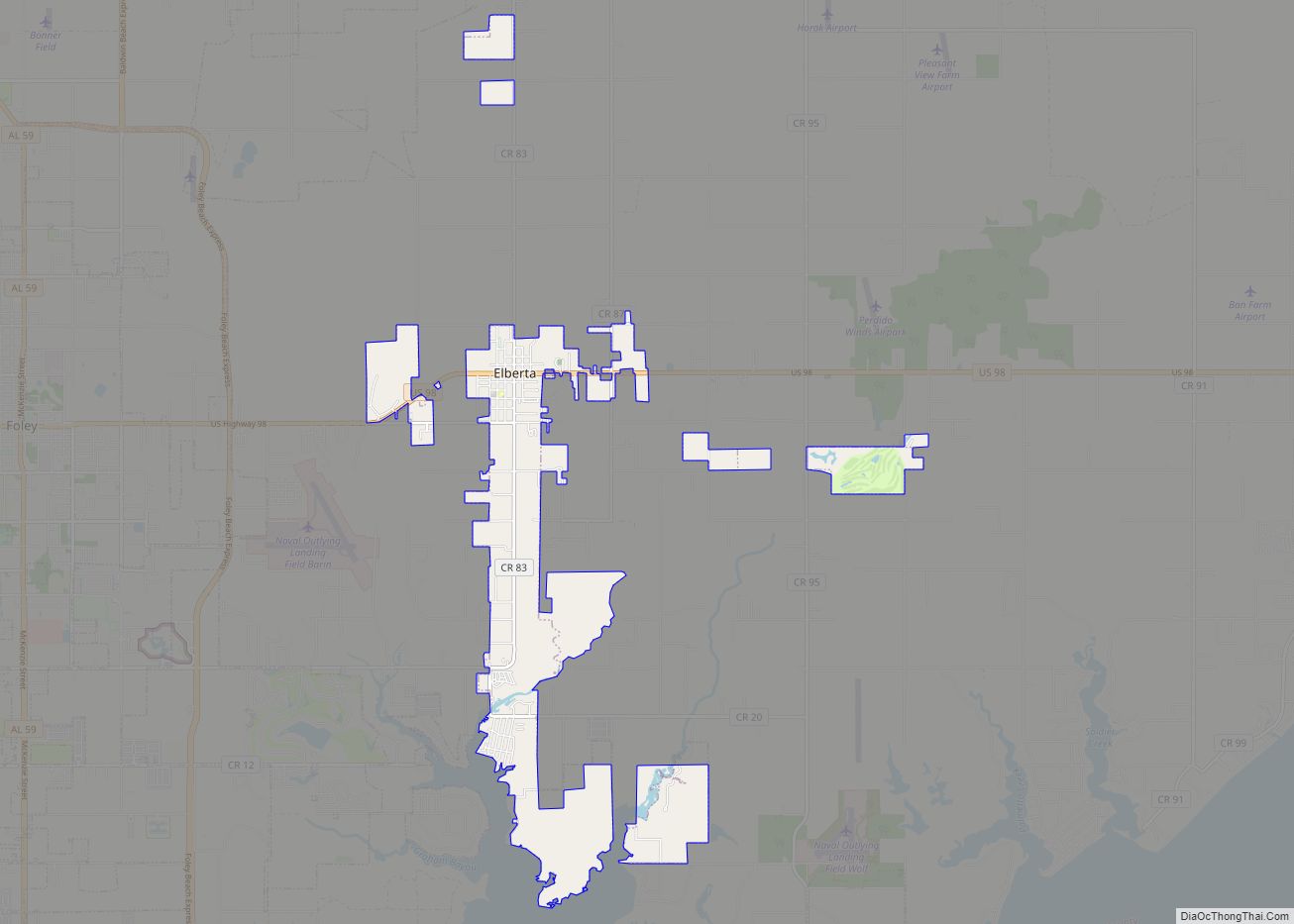
Magnolia Springs Road Map
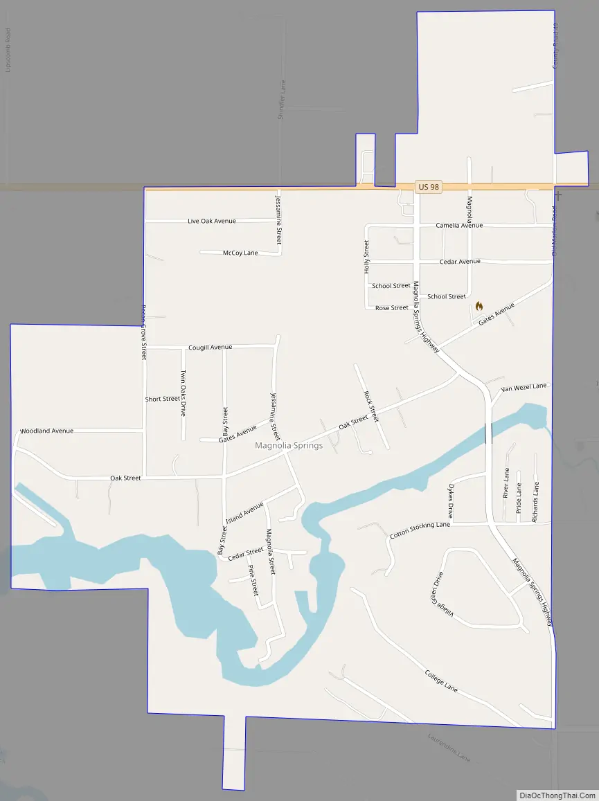
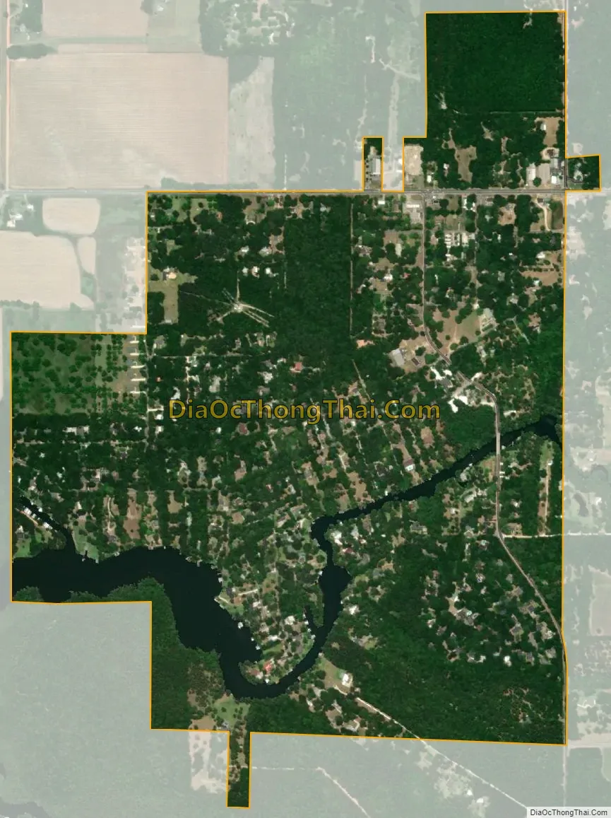
Magnolia Springs city Satellite Map
See also
Map of Alabama State and its subdivision:- Autauga
- Baldwin
- Barbour
- Bibb
- Blount
- Bullock
- Butler
- Calhoun
- Chambers
- Cherokee
- Chilton
- Choctaw
- Clarke
- Clay
- Cleburne
- Coffee
- Colbert
- Conecuh
- Coosa
- Covington
- Crenshaw
- Cullman
- Dale
- Dallas
- De Kalb
- Elmore
- Escambia
- Etowah
- Fayette
- Franklin
- Geneva
- Greene
- Hale
- Henry
- Houston
- Jackson
- Jefferson
- Lamar
- Lauderdale
- Lawrence
- Lee
- Limestone
- Lowndes
- Macon
- Madison
- Marengo
- Marion
- Marshall
- Mobile
- Monroe
- Montgomery
- Morgan
- Perry
- Pickens
- Pike
- Randolph
- Russell
- Saint Clair
- Shelby
- Sumter
- Talladega
- Tallapoosa
- Tuscaloosa
- Walker
- Washington
- Wilcox
- Winston
- Alabama
- Alaska
- Arizona
- Arkansas
- California
- Colorado
- Connecticut
- Delaware
- District of Columbia
- Florida
- Georgia
- Hawaii
- Idaho
- Illinois
- Indiana
- Iowa
- Kansas
- Kentucky
- Louisiana
- Maine
- Maryland
- Massachusetts
- Michigan
- Minnesota
- Mississippi
- Missouri
- Montana
- Nebraska
- Nevada
- New Hampshire
- New Jersey
- New Mexico
- New York
- North Carolina
- North Dakota
- Ohio
- Oklahoma
- Oregon
- Pennsylvania
- Rhode Island
- South Carolina
- South Dakota
- Tennessee
- Texas
- Utah
- Vermont
- Virginia
- Washington
- West Virginia
- Wisconsin
- Wyoming