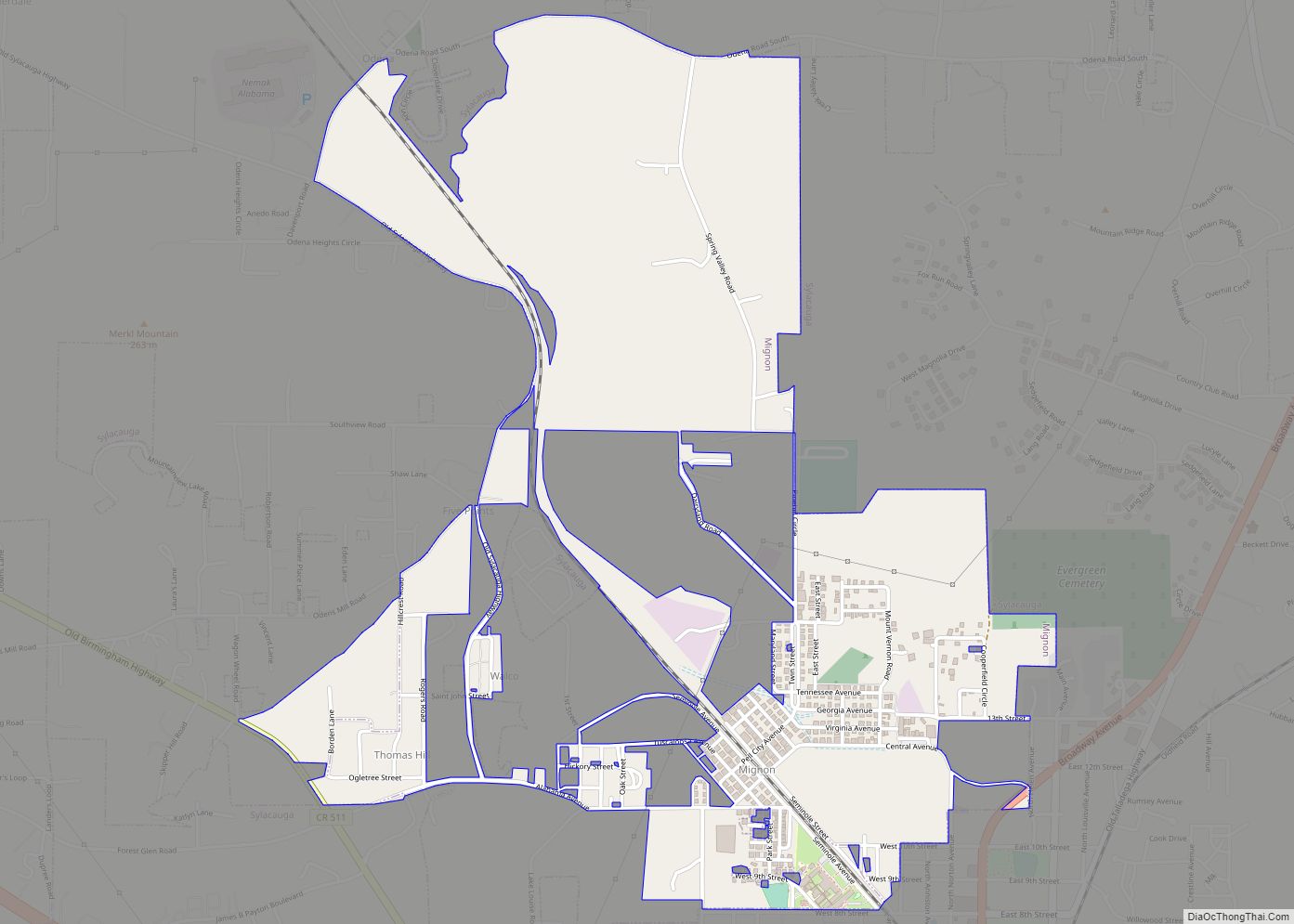
Mignon is a census-designated place (CDP) in Talladega County, Alabama, United States. At the 2020 census, the population was 1,186.
| Name: | Mignon CDP |
|---|---|
| LSAD Code: | 57 |
| LSAD Description: | CDP (suffix) |
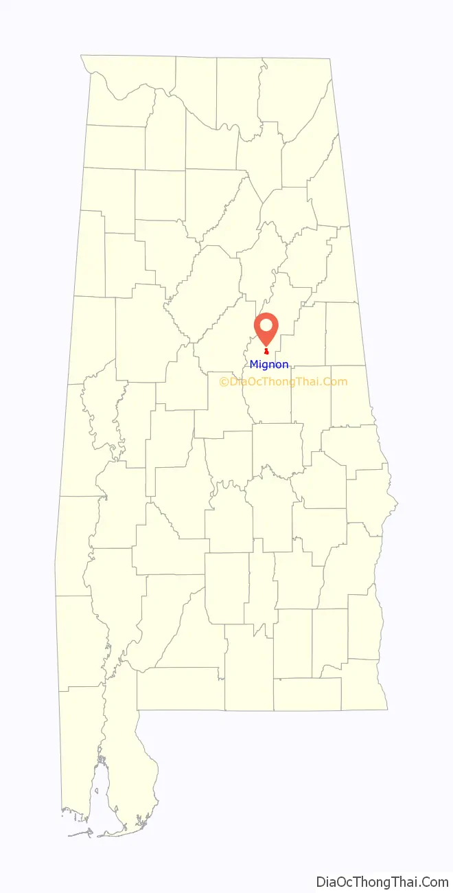
| State: | Alabama |
| County: | Talladega County |
| Elevation: | 522 ft (159 m) |
| Total Area: | 2.04 sq mi (5.27 km²) |
| Land Area: | 2.00 sq mi (5.19 km²) |
| Water Area: | 0.03 sq mi (0.09 km²) |
| Total Population: | 1,186 |
| Population Density: | 592.41/sq mi (228.73/km²) |
| ZIP code: | 35150 |
| Area code: | 256 and 938 |
| FIPS code: | 0148616 |
| GNISfeature ID: | 0144902 |
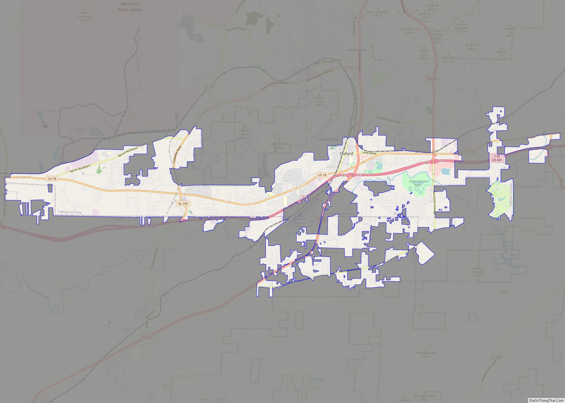
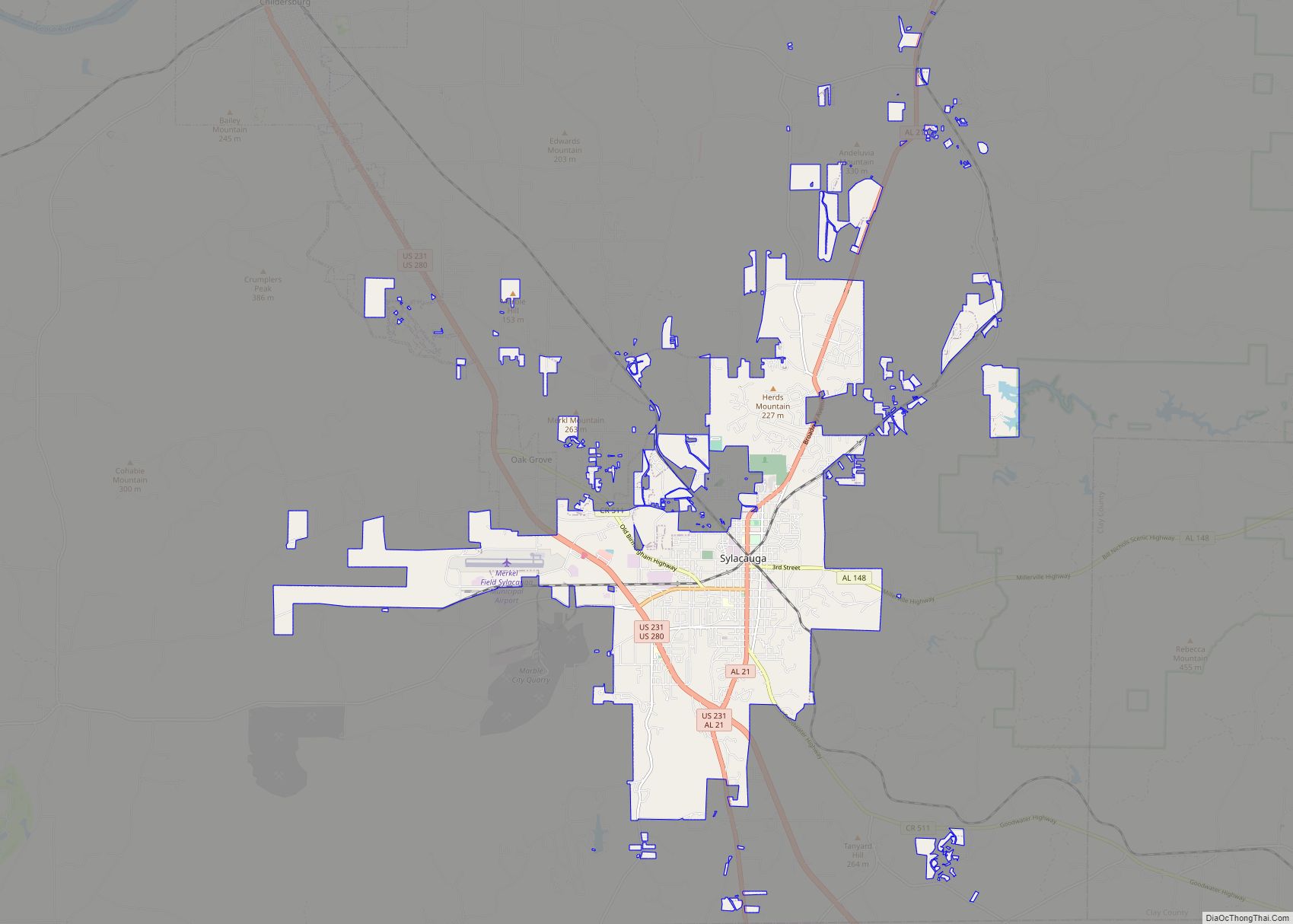
Online Interactive Map
Click on ![]() to view map in "full screen" mode.
to view map in "full screen" mode.
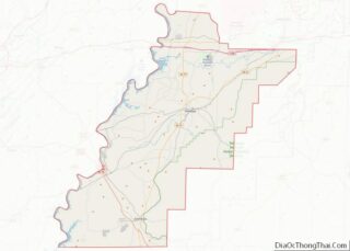
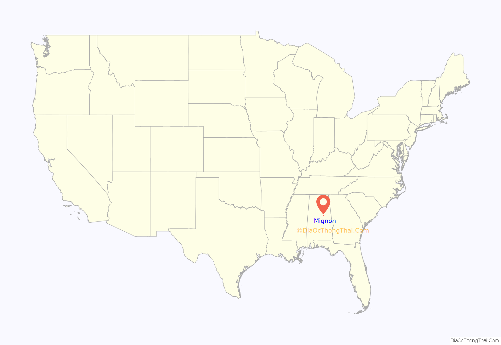
Mignon location map. Where is Mignon CDP?
History
Mignon initially became an incorporated town (according to the 1920 U.S. Census) around 1915, but either disincorporated or lost its charter in the 1930s and did not show on the 1940 U.S. Census. Because (as of 1950) it still was a sizeable community of 3,000 residents, it was listed on the 1950 through 1970 census rolls as an unincorporated community. Beginning in 1980, it received the new status of census-designated place (CDP).
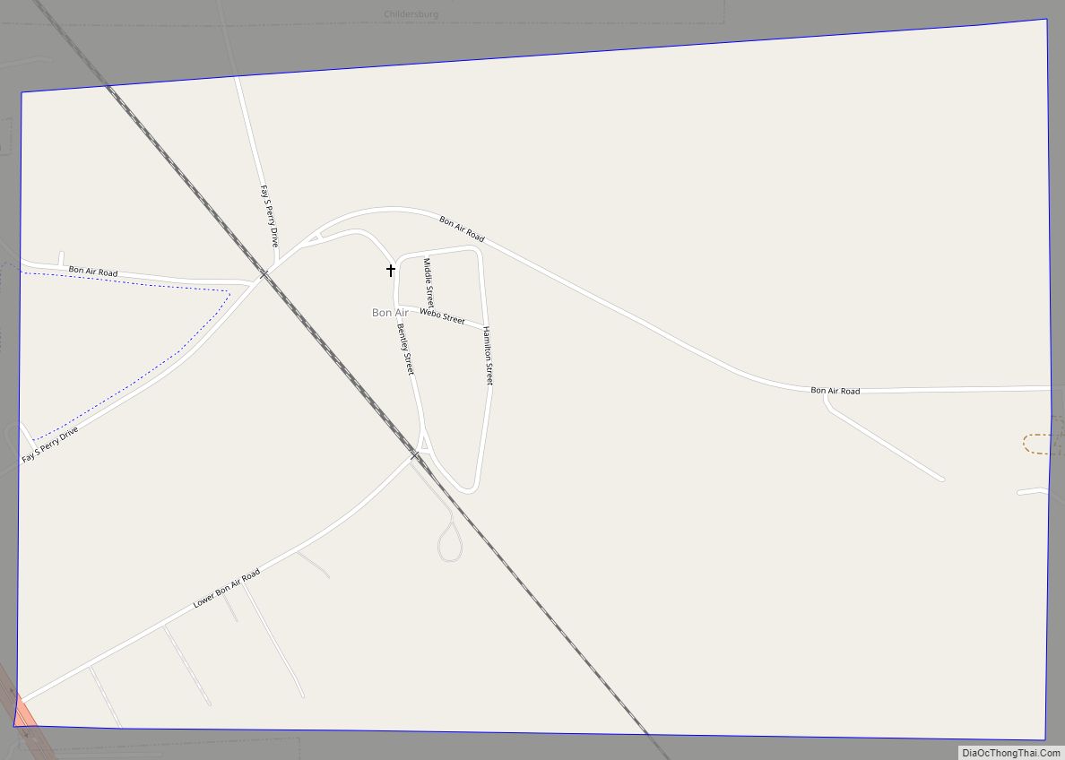
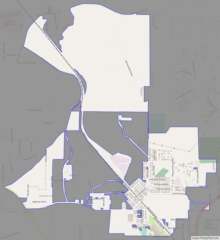
Mignon Road Map
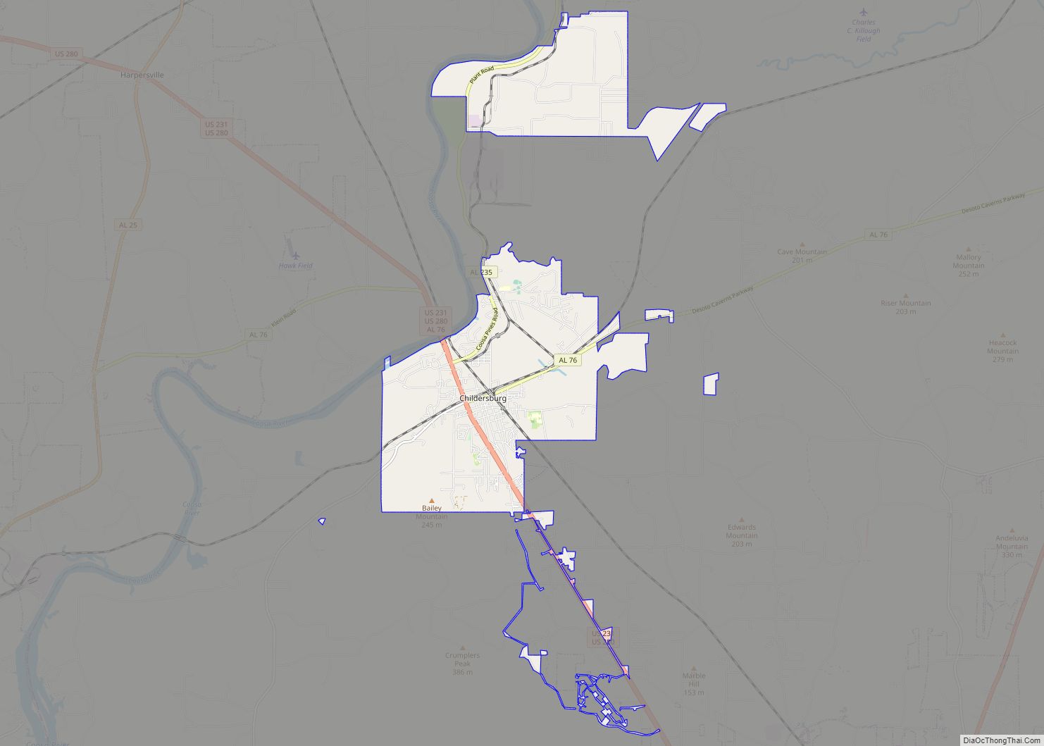
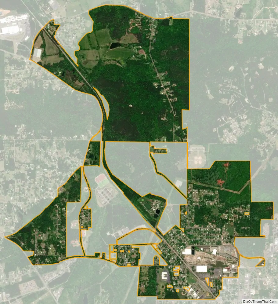
Mignon city Satellite Map
Geography
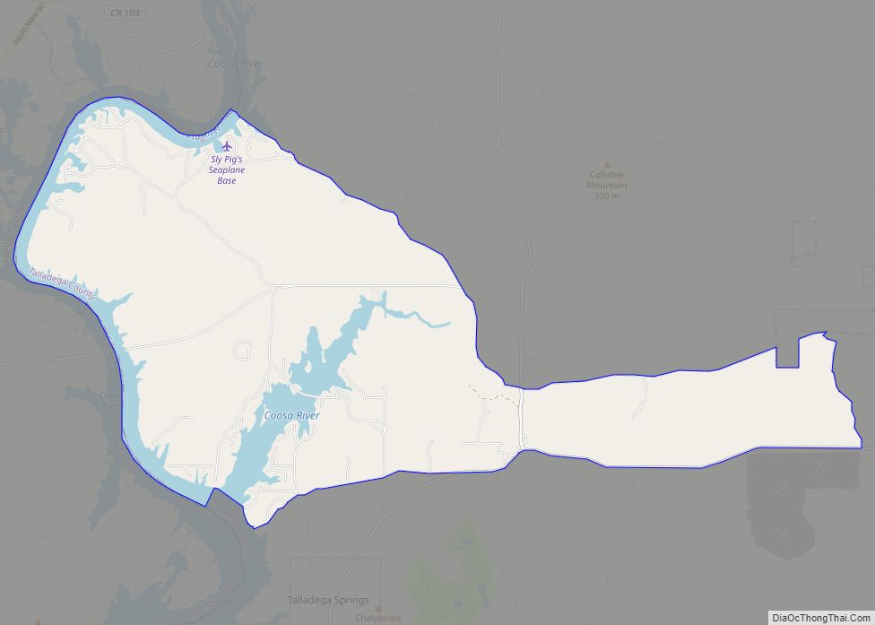
Mignon is located at 33°10′59″N 86°15′52″W / 33.18306°N 86.26444°W / 33.18306; -86.26444 (33.182929, -86.264456).
According to the U.S. Census Bureau, the CDP has a total area of 2.6 square miles (6.8 km), of which 2.6 square miles (6.7 km) is land and 0.04 square mile (0.1 km) (1.66%) is water.
See also
Map of Alabama State and its subdivision:- Autauga
- Baldwin
- Barbour
- Bibb
- Blount
- Bullock
- Butler
- Calhoun
- Chambers
- Cherokee
- Chilton
- Choctaw
- Clarke
- Clay
- Cleburne
- Coffee
- Colbert
- Conecuh
- Coosa
- Covington
- Crenshaw
- Cullman
- Dale
- Dallas
- De Kalb
- Elmore
- Escambia
- Etowah
- Fayette
- Franklin
- Geneva
- Greene
- Hale
- Henry
- Houston
- Jackson
- Jefferson
- Lamar
- Lauderdale
- Lawrence
- Lee
- Limestone
- Lowndes
- Macon
- Madison
- Marengo
- Marion
- Marshall
- Mobile
- Monroe
- Montgomery
- Morgan
- Perry
- Pickens
- Pike
- Randolph
- Russell
- Saint Clair
- Shelby
- Sumter
- Talladega
- Tallapoosa
- Tuscaloosa
- Walker
- Washington
- Wilcox
- Winston
- Alabama
- Alaska
- Arizona
- Arkansas
- California
- Colorado
- Connecticut
- Delaware
- District of Columbia
- Florida
- Georgia
- Hawaii
- Idaho
- Illinois
- Indiana
- Iowa
- Kansas
- Kentucky
- Louisiana
- Maine
- Maryland
- Massachusetts
- Michigan
- Minnesota
- Mississippi
- Missouri
- Montana
- Nebraska
- Nevada
- New Hampshire
- New Jersey
- New Mexico
- New York
- North Carolina
- North Dakota
- Ohio
- Oklahoma
- Oregon
- Pennsylvania
- Rhode Island
- South Carolina
- South Dakota
- Tennessee
- Texas
- Utah
- Vermont
- Virginia
- Washington
- West Virginia
- Wisconsin
- Wyoming