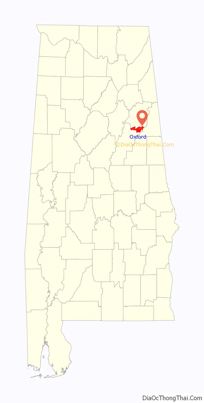
Oxford is a city in Calhoun, Talladega, and Cleburne counties in the State of Alabama. The population was 22,069 at the 2020 census,. Oxford is one of two principal cities of and included in the Anniston-Oxford Metropolitan Statistical Area, and it is the largest city in Calhoun County by population.
| Name: | Oxford city |
|---|---|
| LSAD Code: | 25 |
| LSAD Description: | city (suffix) |
| State: | Alabama |
| County: | Calhoun County, Talladega County |
| Elevation: | 686 ft (209 m) |
| Total Area: | 32.19 sq mi (83.36 km²) |
| Land Area: | 31.82 sq mi (82.42 km²) |
| Water Area: | 0.36 sq mi (0.94 km²) |
| Total Population: | 22,069 |
| Population Density: | 693.49/sq mi (267.76/km²) |
| ZIP code: | 36203, 36201, 36207, 36253 |
| Area code: | 256/938 |
| FIPS code: | 0157576 |
| GNISfeature ID: | 0160330 |
| Website: | www.oxfordal.gov |
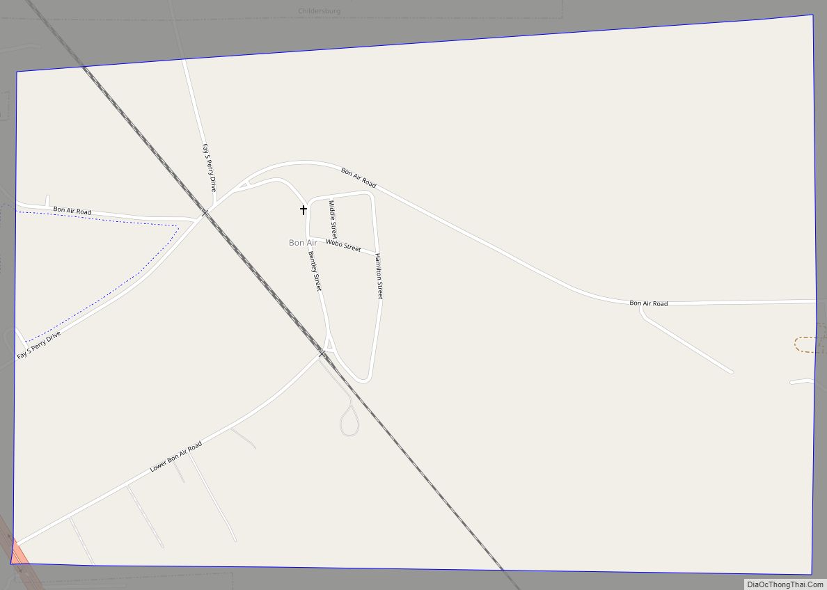
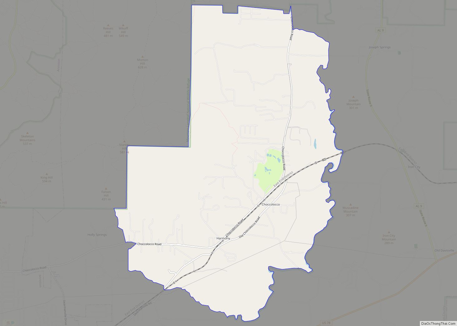
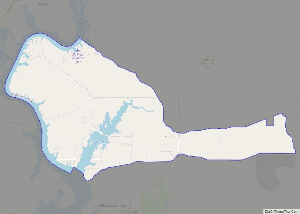
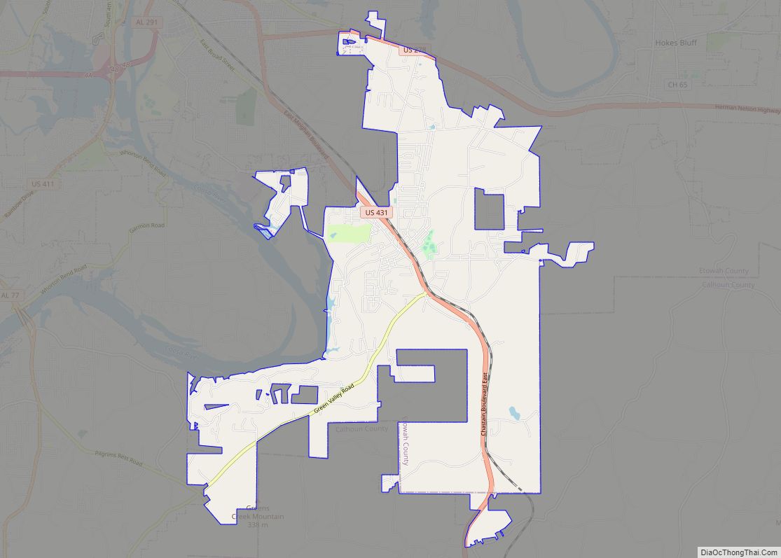
Online Interactive Map
Click on ![]() to view map in "full screen" mode.
to view map in "full screen" mode.
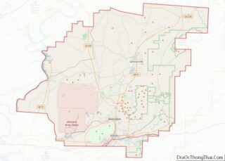
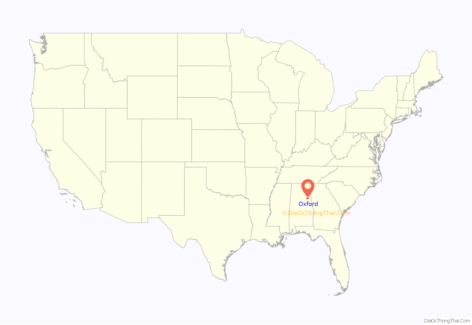
Oxford location map. Where is Oxford city?
History
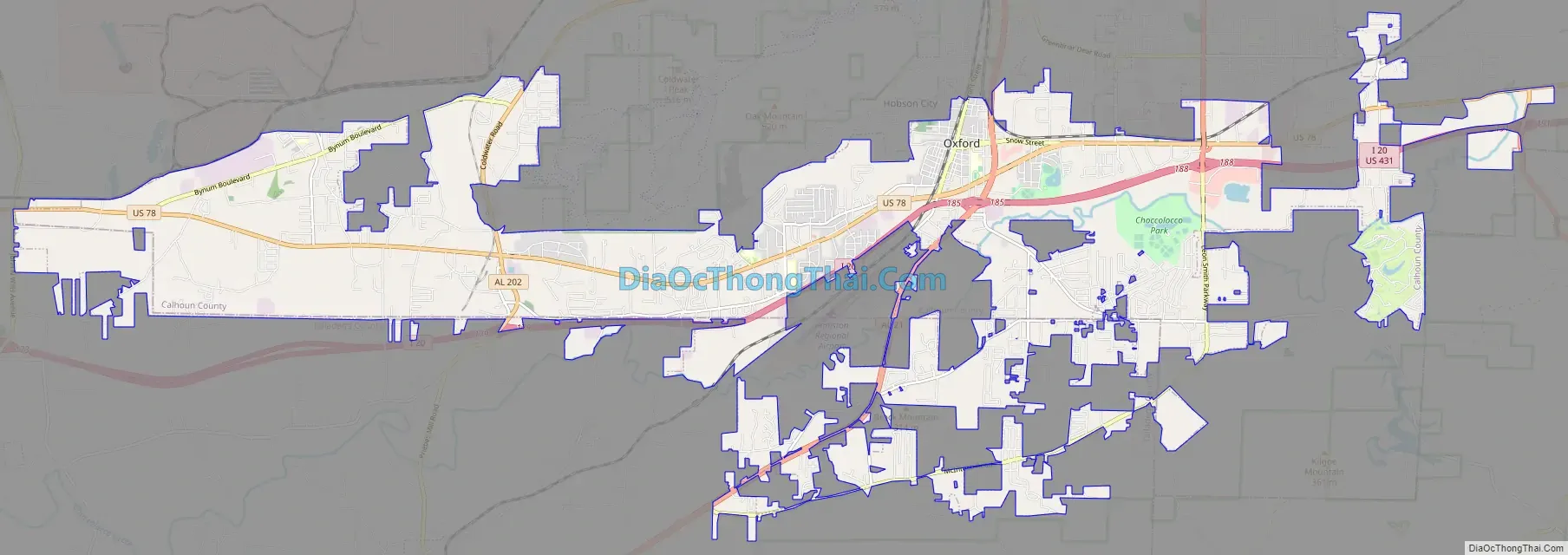
Founded in the early 1850s, Oxford was the first city in Calhoun County to be incorporated, in 1852. The name “Oxford” was due to the presence of a narrow crossing of Chocolocco Creek that allowed farmers to ford cattle from one side of the creek to the other. Since 1970, Oxford has annexed large amounts of land to the south and west, including the communities of Coldwater and Bynum. In 1970, it was all in Calhoun County, but today it includes areas in Talladega County and Cleburne County.
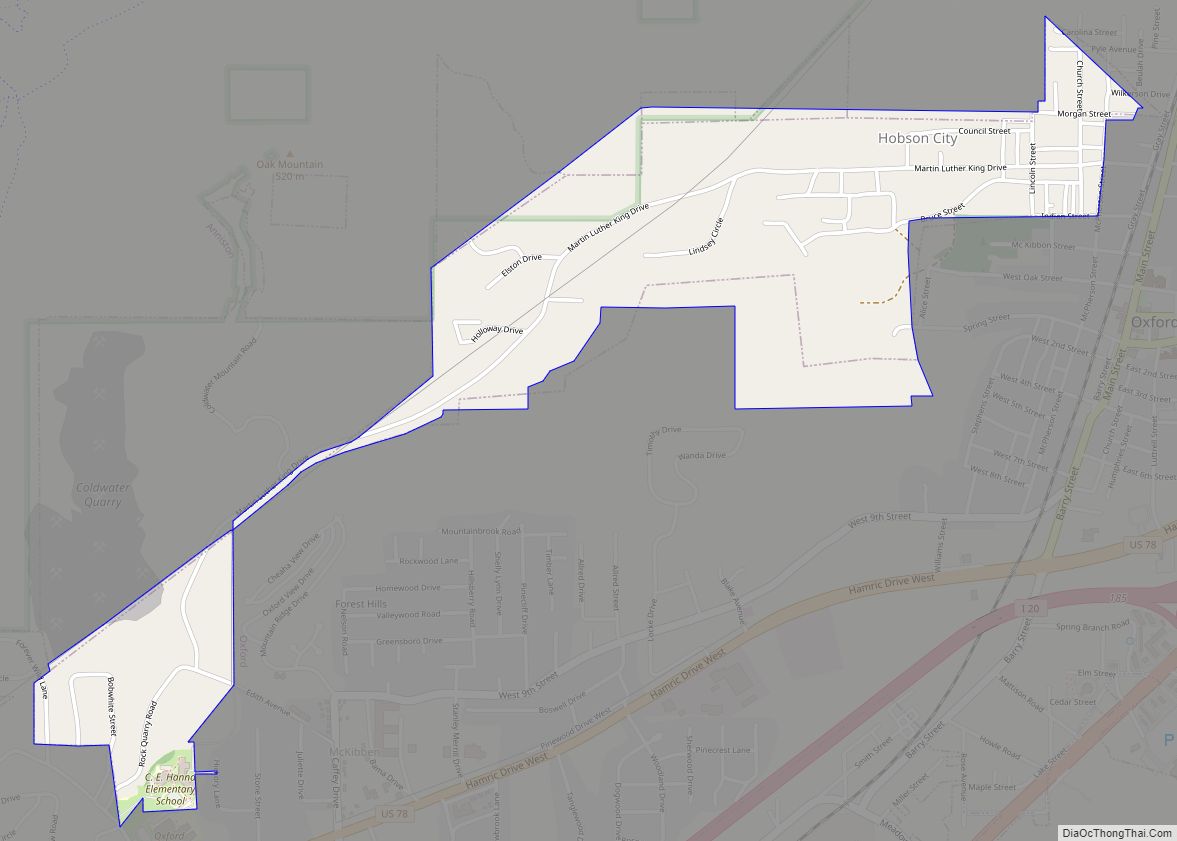
A smaller municipality, Hobson City, was once a part of Oxford. The area, then known as the Mooree Quarter, is one square mile, and is located north and west of Oxford, and south and west of Anniston. The new town became incorporated on August 16, 1899, as Hobson City, taking the name of a naval hero of the Spanish–American War. Another result was the creation of only the second town in the United States (after Eatonville, Florida) with 100% black government, and an almost 100% black population (at least at first).
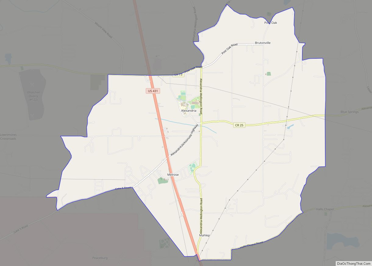
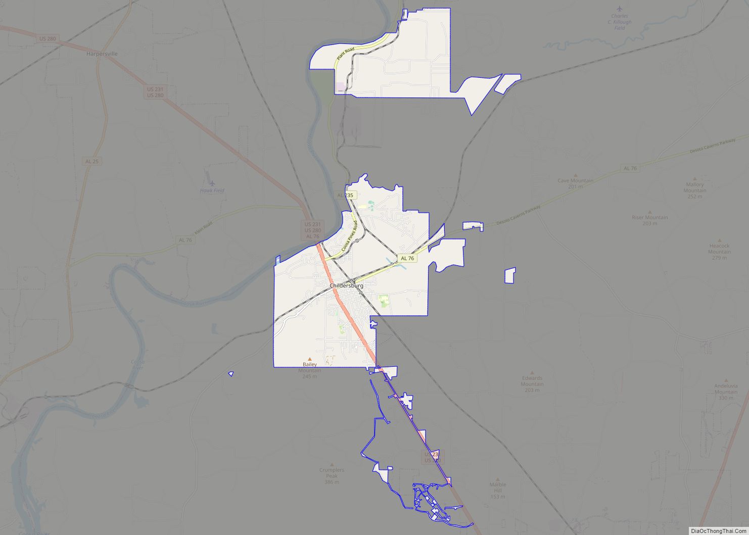
Oxford Road Map
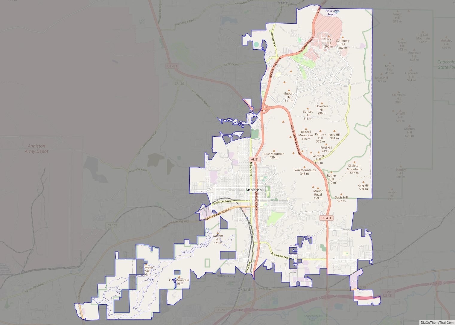
Oxford city Satellite Map

Geography
According to the U.S. Census Bureau, the city has a total area of 32.2 square miles (83.3 km), of which 31.72 square miles (82.15 km) is land and 0.35 square miles (0.9 km), or 1.07%, is water.
Oxford lies among the foothills at the southern end of the Blue Ridge Mountains. Nearby Cheaha Mountain is Alabama’s highest point and offers expansive views of the surrounding wilderness and the city below. Much of the city’s southern border is shared with the Talladega National Forest.
Major bodies of water include Oxford Lake, Choccolocco Park Lake, Lake Hillabee, Snow Creek, and the Choccolocco Creek that bisects the city.
Oxford is located mainly in the southern part of Calhoun County and is located along Interstate 20, which runs through the southern part of the city, with access from exits 179, 185, 188, and 191. Via I-20, Birmingham is 62 mi (100 km) west, and Atlanta is 88 mi (142 km) east. U.S. Route 78 also runs through the city and connects it to Cleburne County, paralleling I-20. Alabama State Route 21 connects the city with the city of Talladega, which is southwest 21 mi (34 km).
Climate
According to the Köppen climate classification, Oxford has a humid subtropical climate (abbreviated Cfa).
See also
Map of Alabama State and its subdivision:- Autauga
- Baldwin
- Barbour
- Bibb
- Blount
- Bullock
- Butler
- Calhoun
- Chambers
- Cherokee
- Chilton
- Choctaw
- Clarke
- Clay
- Cleburne
- Coffee
- Colbert
- Conecuh
- Coosa
- Covington
- Crenshaw
- Cullman
- Dale
- Dallas
- De Kalb
- Elmore
- Escambia
- Etowah
- Fayette
- Franklin
- Geneva
- Greene
- Hale
- Henry
- Houston
- Jackson
- Jefferson
- Lamar
- Lauderdale
- Lawrence
- Lee
- Limestone
- Lowndes
- Macon
- Madison
- Marengo
- Marion
- Marshall
- Mobile
- Monroe
- Montgomery
- Morgan
- Perry
- Pickens
- Pike
- Randolph
- Russell
- Saint Clair
- Shelby
- Sumter
- Talladega
- Tallapoosa
- Tuscaloosa
- Walker
- Washington
- Wilcox
- Winston
- Alabama
- Alaska
- Arizona
- Arkansas
- California
- Colorado
- Connecticut
- Delaware
- District of Columbia
- Florida
- Georgia
- Hawaii
- Idaho
- Illinois
- Indiana
- Iowa
- Kansas
- Kentucky
- Louisiana
- Maine
- Maryland
- Massachusetts
- Michigan
- Minnesota
- Mississippi
- Missouri
- Montana
- Nebraska
- Nevada
- New Hampshire
- New Jersey
- New Mexico
- New York
- North Carolina
- North Dakota
- Ohio
- Oklahoma
- Oregon
- Pennsylvania
- Rhode Island
- South Carolina
- South Dakota
- Tennessee
- Texas
- Utah
- Vermont
- Virginia
- Washington
- West Virginia
- Wisconsin
- Wyoming