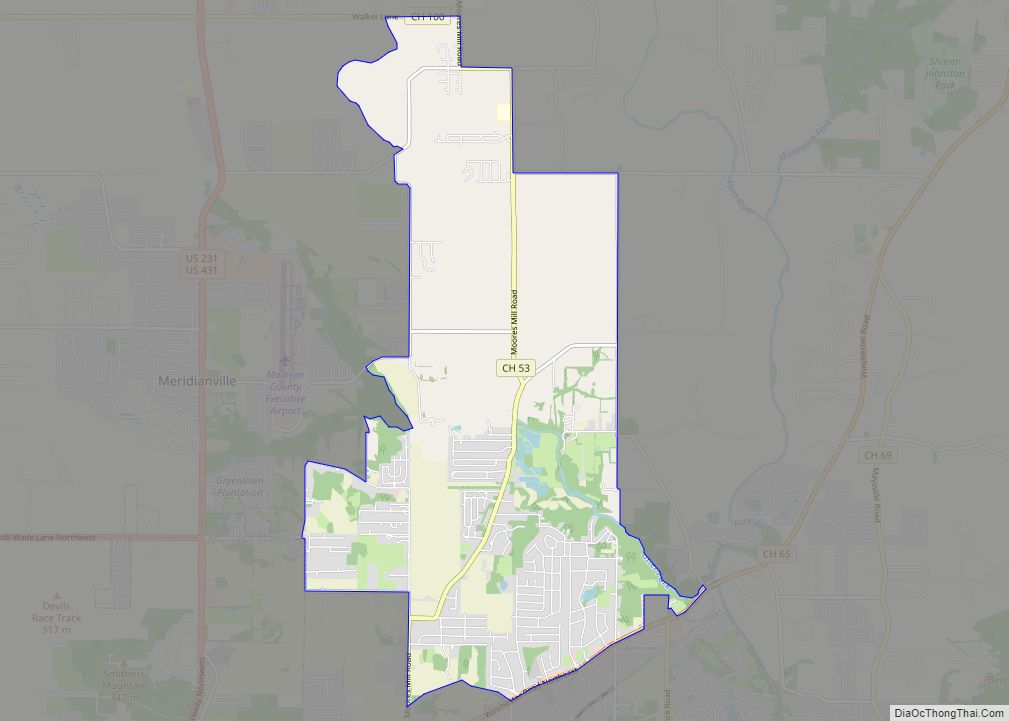
Moores Mill is an unincorporated community and census-designated place (CDP) in Madison County, Alabama, United States, and is included in the Huntsville-Decatur Combined Statistical Area. The population was 6,729 at the 2020 census, up from 5,682 at the 2010 census.
| Name: | Moores Mill CDP |
|---|---|
| LSAD Code: | 57 |
| LSAD Description: | CDP (suffix) |
| State: | Alabama |
| County: | Madison County |
| Elevation: | 692 ft (211 m) |
| Total Area: | 13.77 sq mi (35.66 km²) |
| Land Area: | 13.61 sq mi (35.24 km²) |
| Water Area: | 0.17 sq mi (0.43 km²) |
| Total Population: | 6,729 |
| Population Density: | 494.6/sq mi (190.97/km²) |
| FIPS code: | 0151216 |
| GNISfeature ID: | 2403306 |
Online Interactive Map
Click on ![]() to view map in "full screen" mode.
to view map in "full screen" mode.
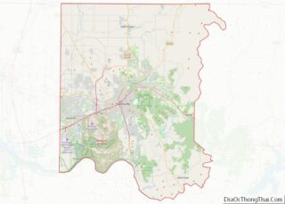
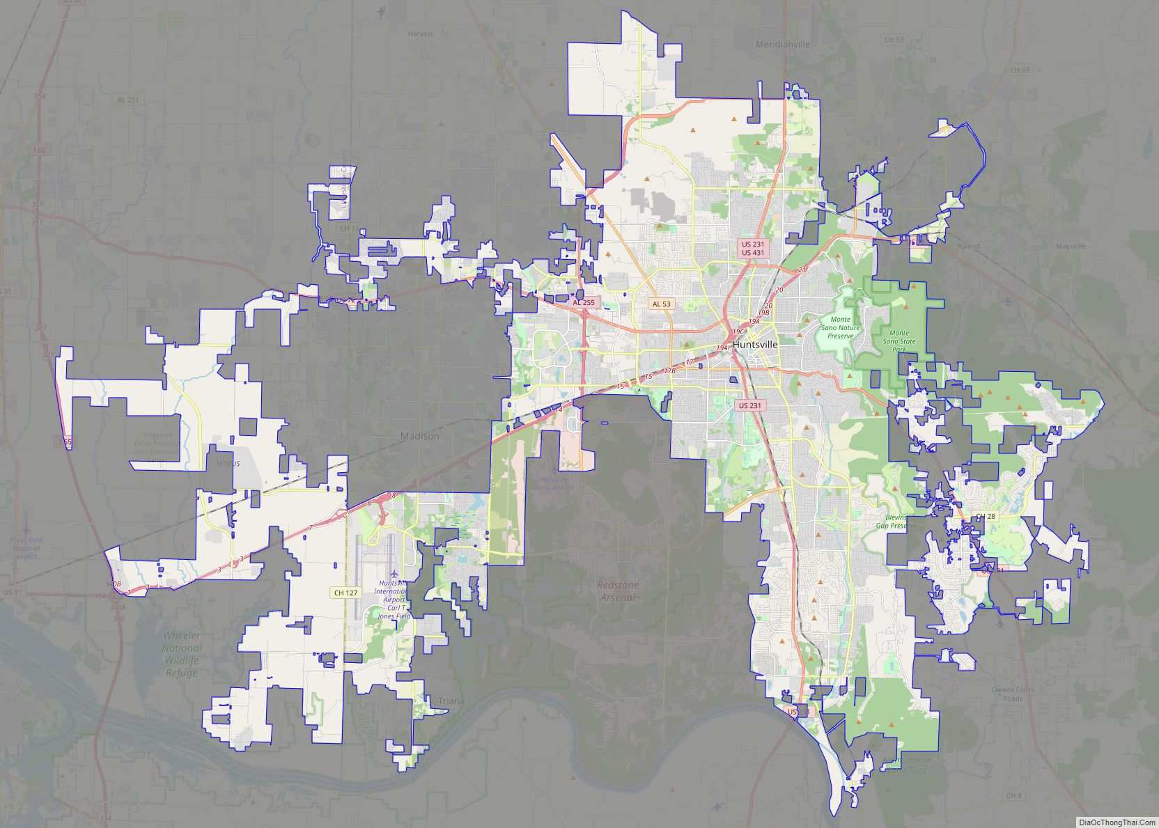
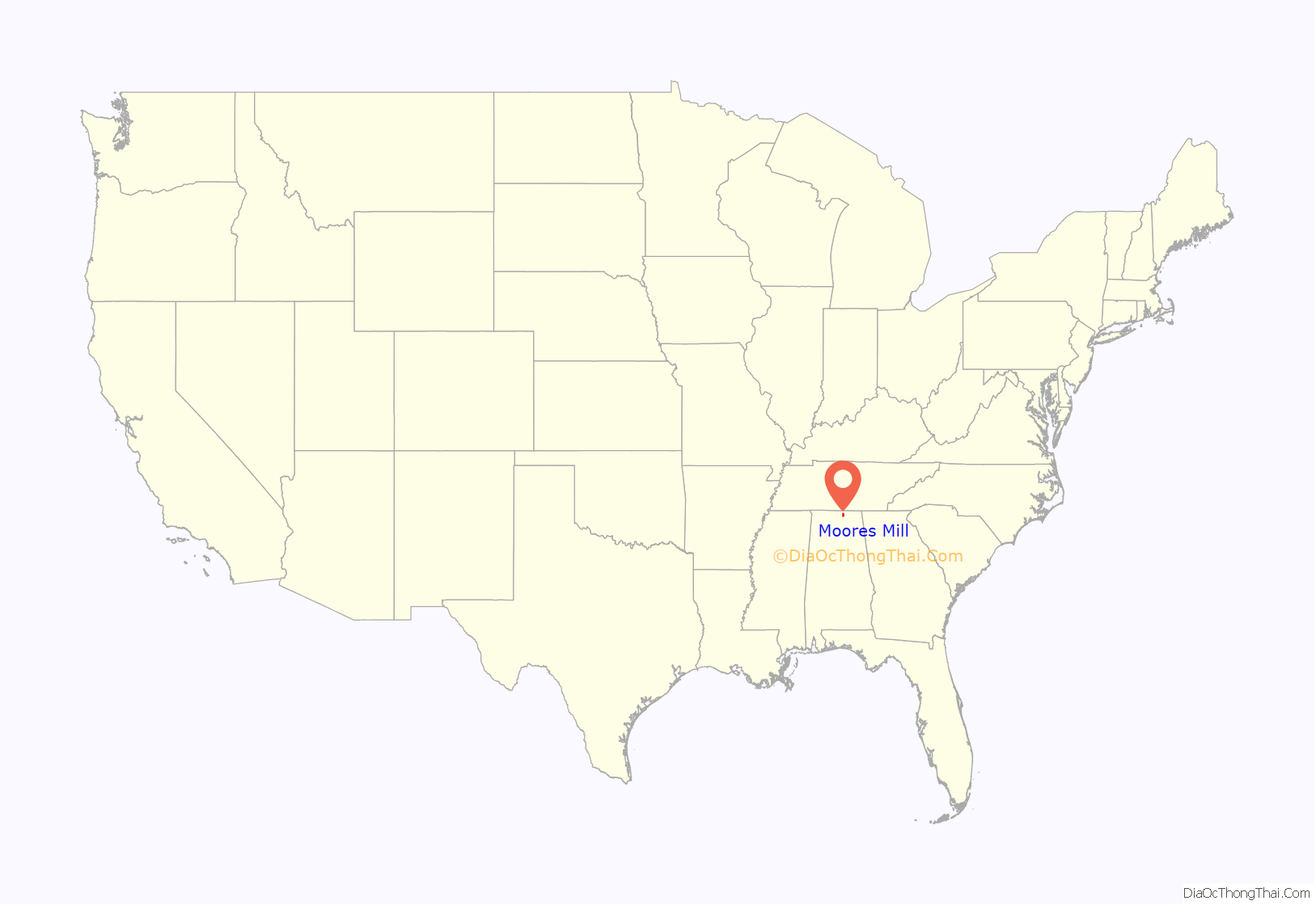
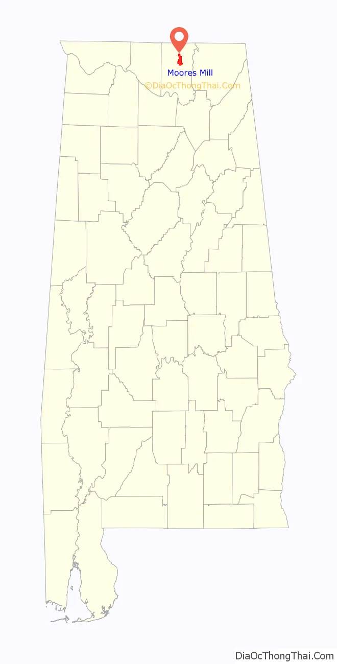
Moores Mill location map. Where is Moores Mill CDP?
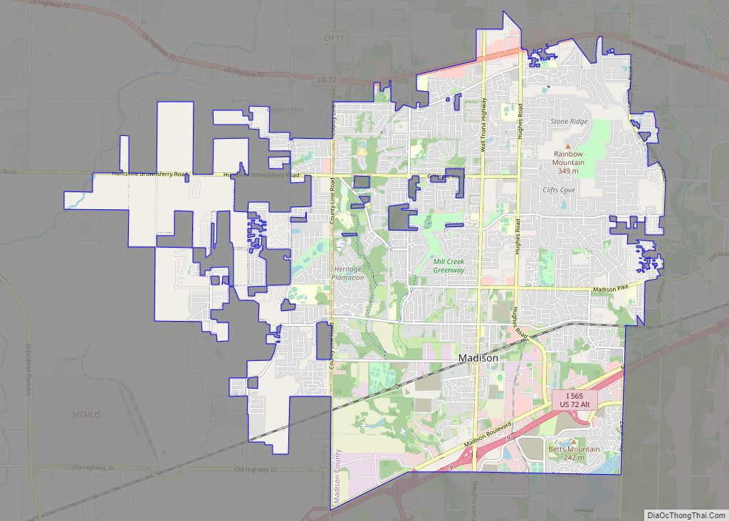
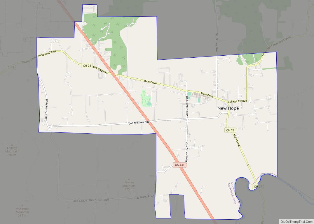
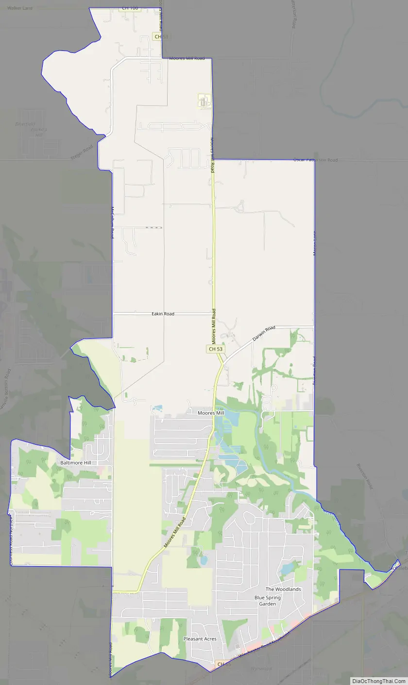
Moores Mill Road Map
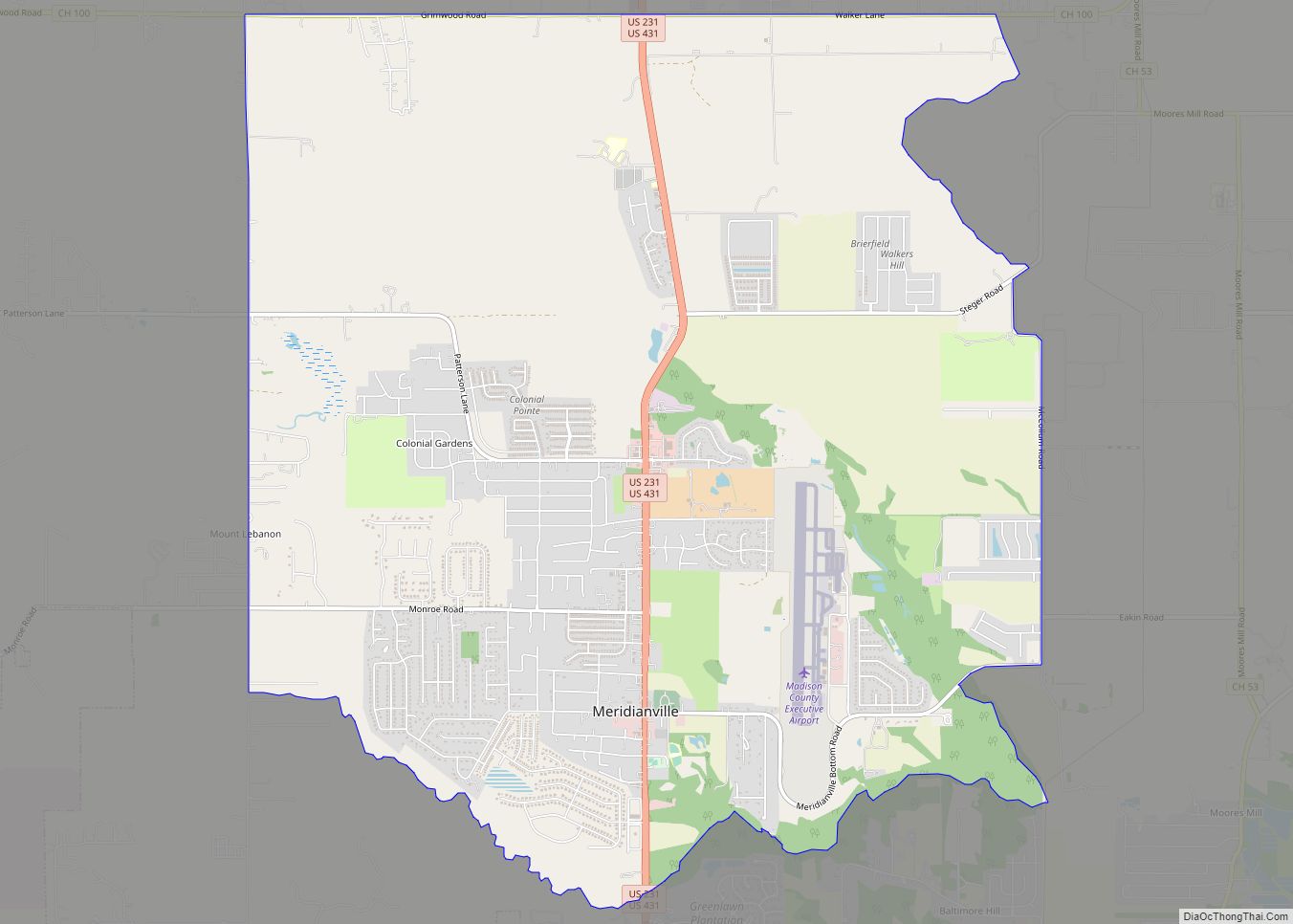
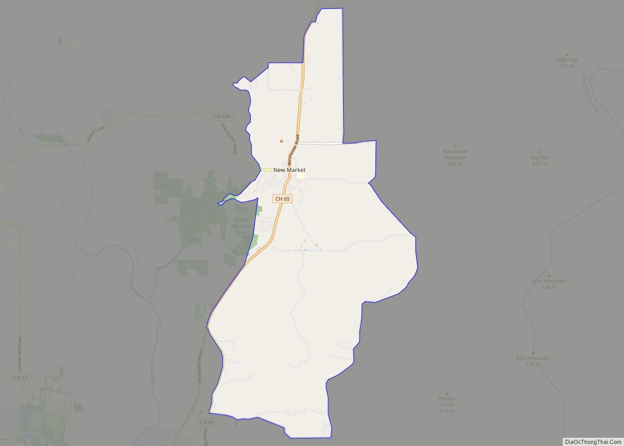
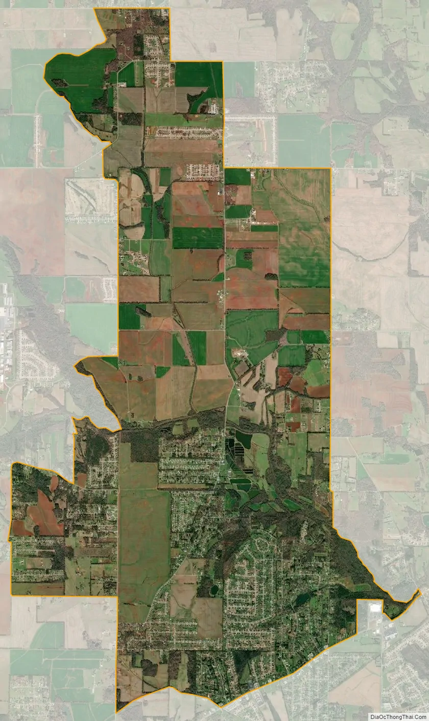
Moores Mill city Satellite Map
Geography
Moores Mill is located in northern Madison County at 34°49′50″N 86°31′14″W / 34.83056°N 86.52056°W / 34.83056; -86.52056 (34.830662, -86.520538). It is bordered to the west by Meridianville and to the south by Huntsville.
According to the U.S. Census Bureau, the CDP has a total area of 13.8 square miles (36 km), of which 13.6 square miles (35 km) are land and 0.2 square miles (0.5 km), or 1.20%, are water.
See also
Map of Alabama State and its subdivision:- Autauga
- Baldwin
- Barbour
- Bibb
- Blount
- Bullock
- Butler
- Calhoun
- Chambers
- Cherokee
- Chilton
- Choctaw
- Clarke
- Clay
- Cleburne
- Coffee
- Colbert
- Conecuh
- Coosa
- Covington
- Crenshaw
- Cullman
- Dale
- Dallas
- De Kalb
- Elmore
- Escambia
- Etowah
- Fayette
- Franklin
- Geneva
- Greene
- Hale
- Henry
- Houston
- Jackson
- Jefferson
- Lamar
- Lauderdale
- Lawrence
- Lee
- Limestone
- Lowndes
- Macon
- Madison
- Marengo
- Marion
- Marshall
- Mobile
- Monroe
- Montgomery
- Morgan
- Perry
- Pickens
- Pike
- Randolph
- Russell
- Saint Clair
- Shelby
- Sumter
- Talladega
- Tallapoosa
- Tuscaloosa
- Walker
- Washington
- Wilcox
- Winston
- Alabama
- Alaska
- Arizona
- Arkansas
- California
- Colorado
- Connecticut
- Delaware
- District of Columbia
- Florida
- Georgia
- Hawaii
- Idaho
- Illinois
- Indiana
- Iowa
- Kansas
- Kentucky
- Louisiana
- Maine
- Maryland
- Massachusetts
- Michigan
- Minnesota
- Mississippi
- Missouri
- Montana
- Nebraska
- Nevada
- New Hampshire
- New Jersey
- New Mexico
- New York
- North Carolina
- North Dakota
- Ohio
- Oklahoma
- Oregon
- Pennsylvania
- Rhode Island
- South Carolina
- South Dakota
- Tennessee
- Texas
- Utah
- Vermont
- Virginia
- Washington
- West Virginia
- Wisconsin
- Wyoming