Munford is a town in Talladega County, Alabama, United States. At the 2020 census, the population was 1,351. It is the location of what has been called the last battle of the Civil War east of the Mississippi, the Battle of Munford on April 23, 1865, being one week after the Battle of Columbus (April 16, 1865) in Georgia. The battle was responsible for the last Confederate death east of the Mississippi River, whose name was Andrew Jackson Buttram.
| Name: | Munford town |
|---|---|
| LSAD Code: | 43 |
| LSAD Description: | town (suffix) |
| State: | Alabama |
| County: | Talladega County |
| Elevation: | 640 ft (195 m) |
| Total Area: | 2.56 sq mi (6.64 km²) |
| Land Area: | 2.56 sq mi (6.63 km²) |
| Water Area: | 0.00 sq mi (0.00 km²) |
| Total Population: | 1,351 |
| Population Density: | 527.53/sq mi (203.66/km²) |
| ZIP code: | 36268 |
| Area code: | 256 |
| FIPS code: | 0152848 |
| GNISfeature ID: | 0160206 |
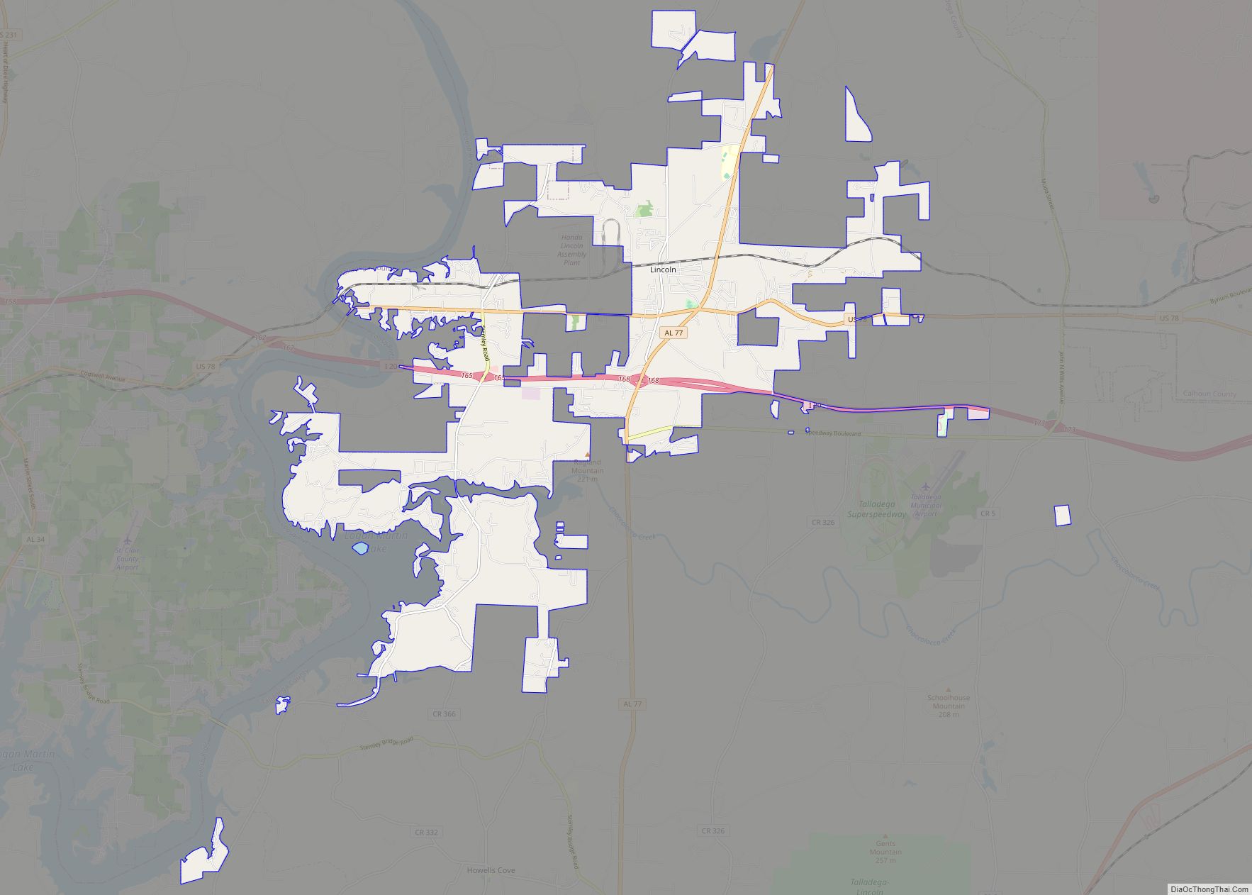
Online Interactive Map
Click on ![]() to view map in "full screen" mode.
to view map in "full screen" mode.
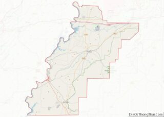
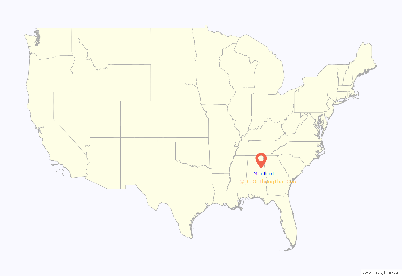
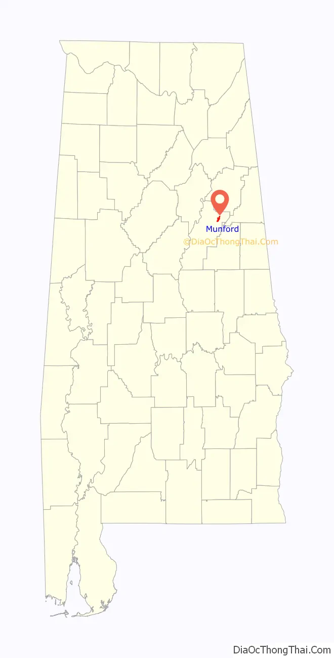
Munford location map. Where is Munford town?
History
Munford was initially incorporated in 1873. At some point in the 1880s, it either disincorporated or lost its charter. In 2000, Munford was classified as a census-designated place (CDP), and in 2002 formally incorporated again. Munford is also known for its importance in the American Civil War, where the Battle of Munford took place on April 23, 1865. The battle is considered to be the last battle of the war east of the Mississippi River. One of the last Confederate casualties of the war occurred here, as well.
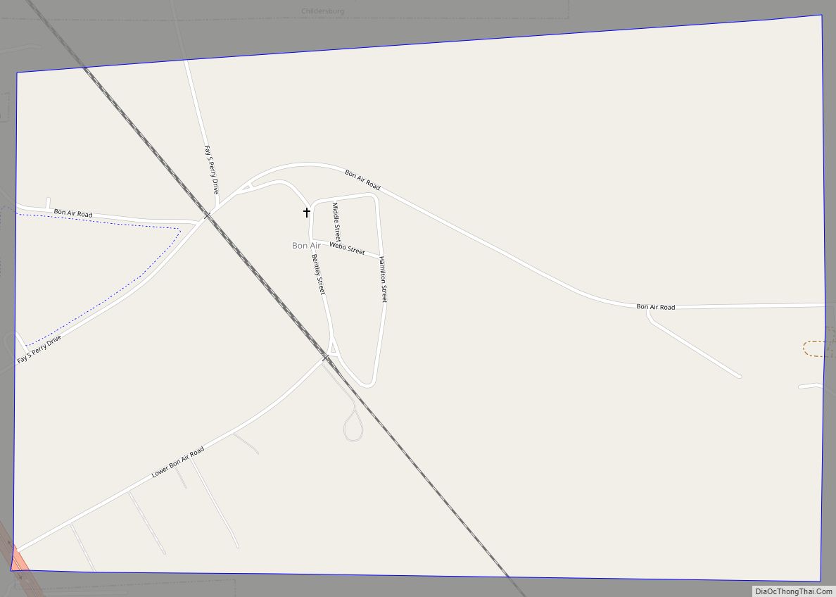
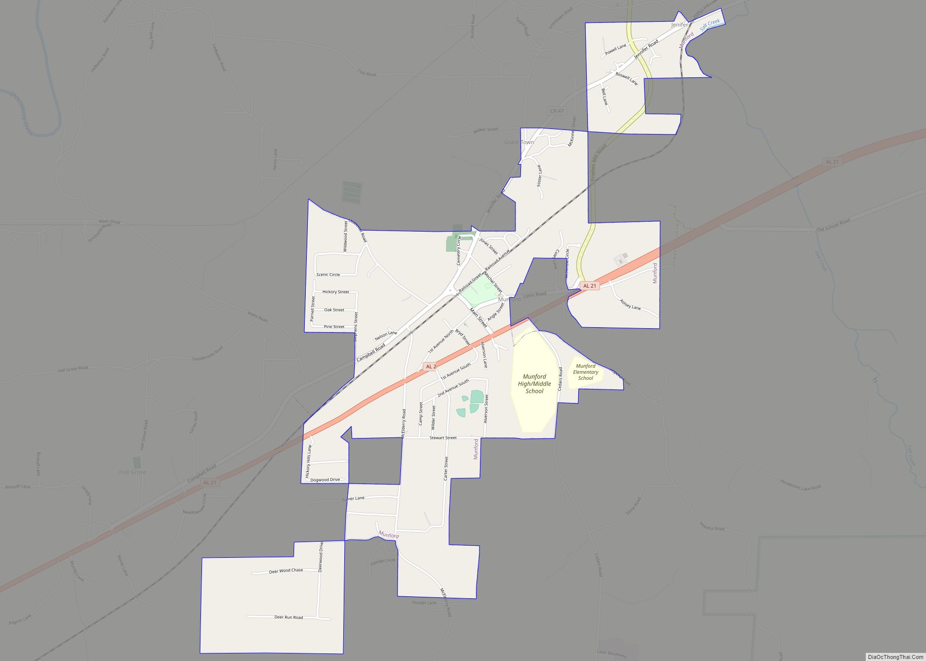
Munford Road Map

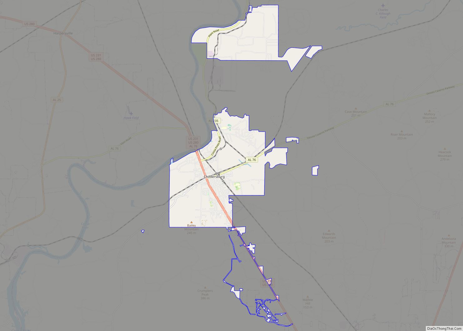
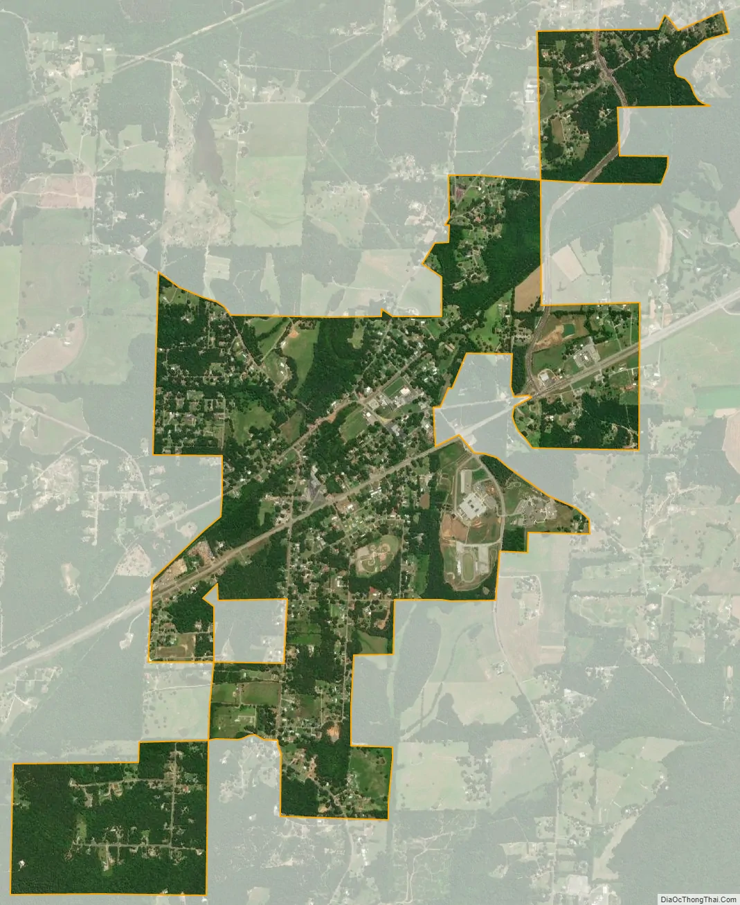
Munford city Satellite Map
Geography
According to the United States Census Bureau, the town has a total area of 2.2 square miles (5.7 km), all land.
See also
Map of Alabama State and its subdivision:- Autauga
- Baldwin
- Barbour
- Bibb
- Blount
- Bullock
- Butler
- Calhoun
- Chambers
- Cherokee
- Chilton
- Choctaw
- Clarke
- Clay
- Cleburne
- Coffee
- Colbert
- Conecuh
- Coosa
- Covington
- Crenshaw
- Cullman
- Dale
- Dallas
- De Kalb
- Elmore
- Escambia
- Etowah
- Fayette
- Franklin
- Geneva
- Greene
- Hale
- Henry
- Houston
- Jackson
- Jefferson
- Lamar
- Lauderdale
- Lawrence
- Lee
- Limestone
- Lowndes
- Macon
- Madison
- Marengo
- Marion
- Marshall
- Mobile
- Monroe
- Montgomery
- Morgan
- Perry
- Pickens
- Pike
- Randolph
- Russell
- Saint Clair
- Shelby
- Sumter
- Talladega
- Tallapoosa
- Tuscaloosa
- Walker
- Washington
- Wilcox
- Winston
- Alabama
- Alaska
- Arizona
- Arkansas
- California
- Colorado
- Connecticut
- Delaware
- District of Columbia
- Florida
- Georgia
- Hawaii
- Idaho
- Illinois
- Indiana
- Iowa
- Kansas
- Kentucky
- Louisiana
- Maine
- Maryland
- Massachusetts
- Michigan
- Minnesota
- Mississippi
- Missouri
- Montana
- Nebraska
- Nevada
- New Hampshire
- New Jersey
- New Mexico
- New York
- North Carolina
- North Dakota
- Ohio
- Oklahoma
- Oregon
- Pennsylvania
- Rhode Island
- South Carolina
- South Dakota
- Tennessee
- Texas
- Utah
- Vermont
- Virginia
- Washington
- West Virginia
- Wisconsin
- Wyoming