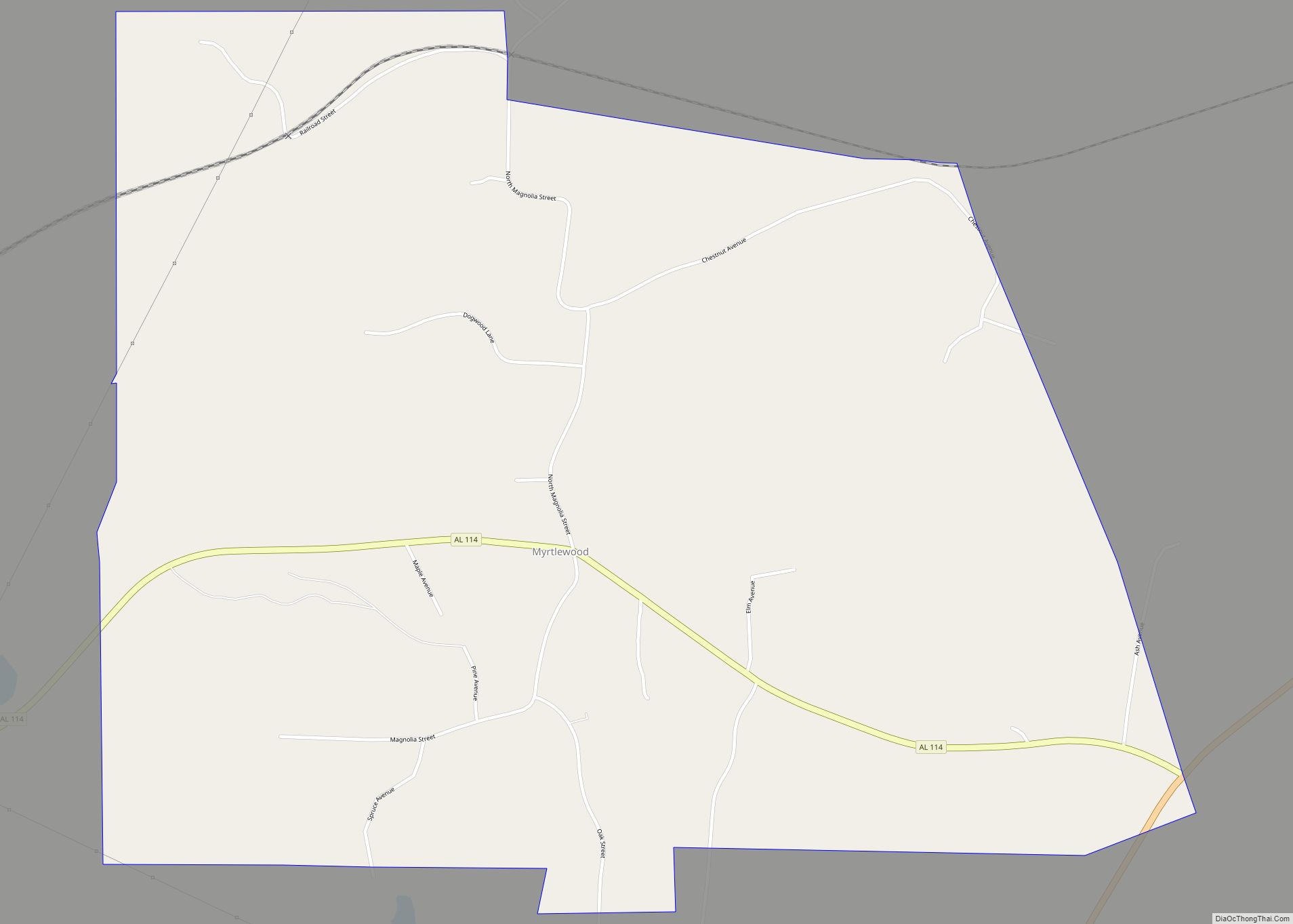
Myrtlewood is a town in Marengo County, Alabama, United States. At the 2020 census the population was 70, down from 130 in 2010.
| Name: | Myrtlewood town |
|---|---|
| LSAD Code: | 43 |
| LSAD Description: | town (suffix) |
| State: | Alabama |
| County: | Marengo County |
| Elevation: | 220 ft (70 m) |
| Total Area: | 2.60 sq mi (6.7 km²) |
| Land Area: | 2.60 sq mi (6.7 km²) |
| Water Area: | 0.00 sq mi (0.0 km²) |
| Total Population: | 70 |
| Population Density: | 26.97/sq mi (10.41/km²) |
| ZIP code: | 36763 |
| Area code: | 334 |
| FIPS code: | 0153112 |
| GNISfeature ID: | 0123626 |
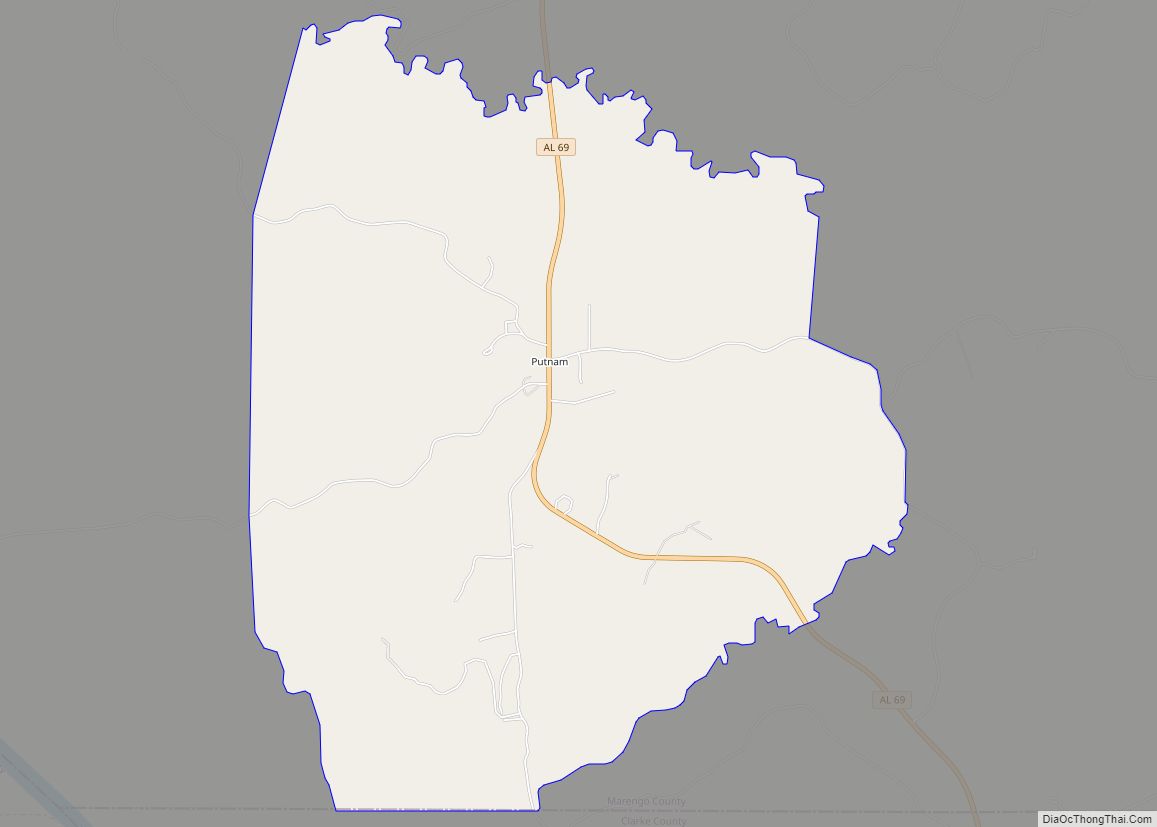
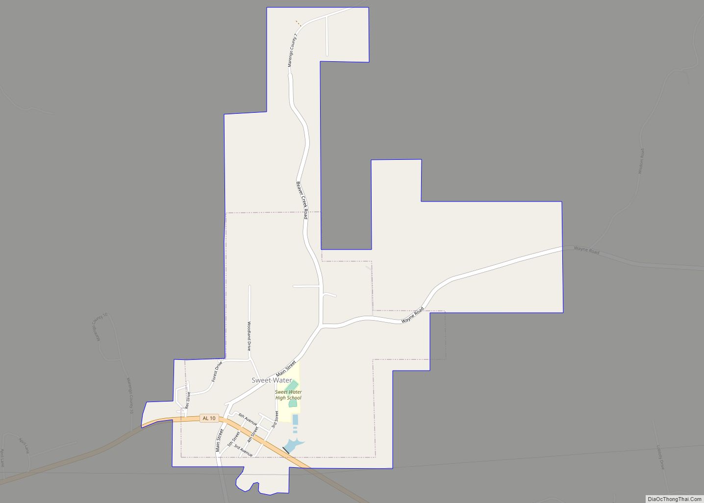
Online Interactive Map
Click on ![]() to view map in "full screen" mode.
to view map in "full screen" mode.
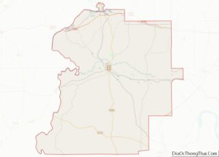
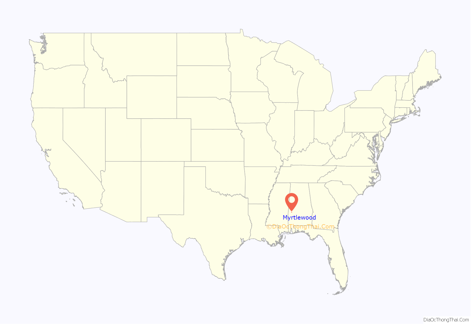
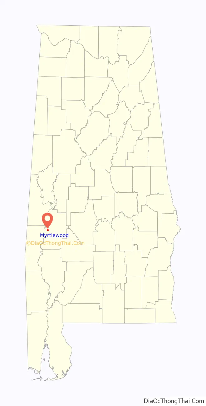
Myrtlewood location map. Where is Myrtlewood town?
History
A post office has been in operation at Myrtlewood since 1886. Myrtlewood was incorporated as a town in 1957. The town was named for a grove of crepe myrtle trees near the original town site.
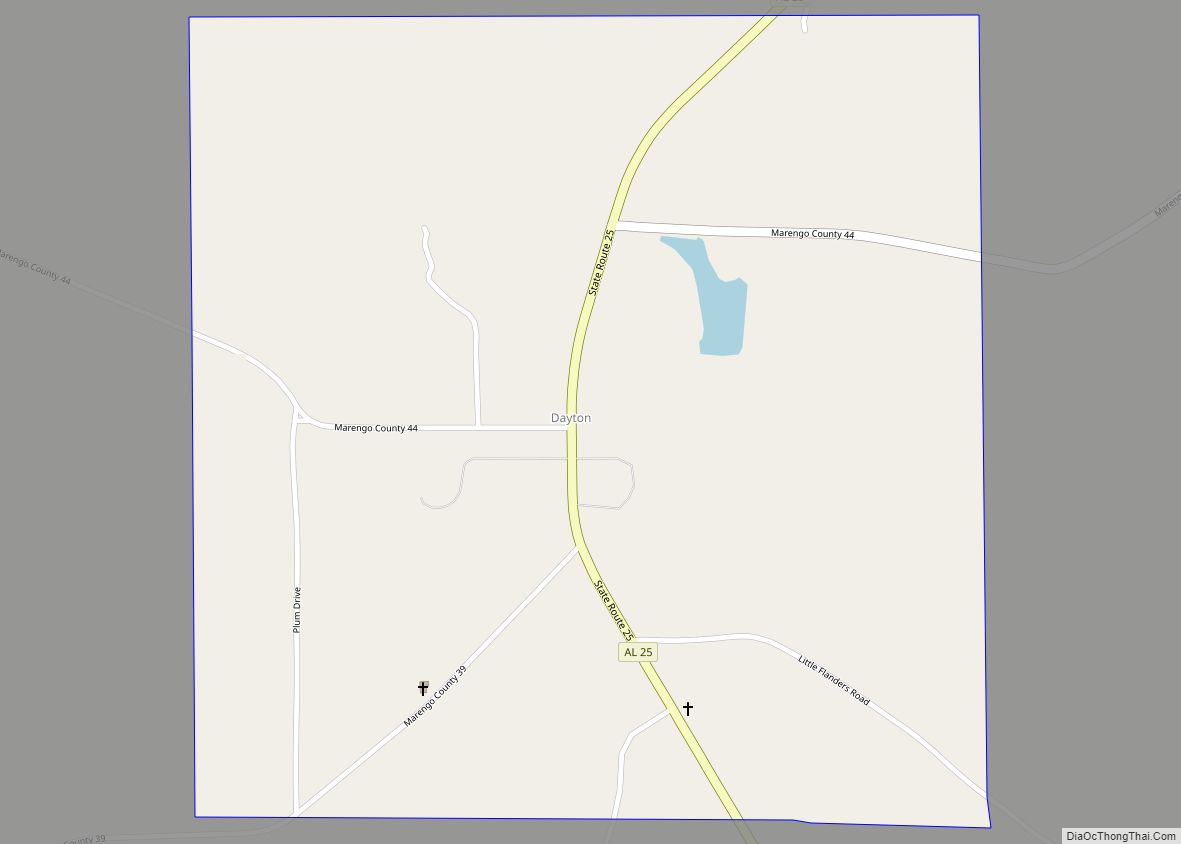
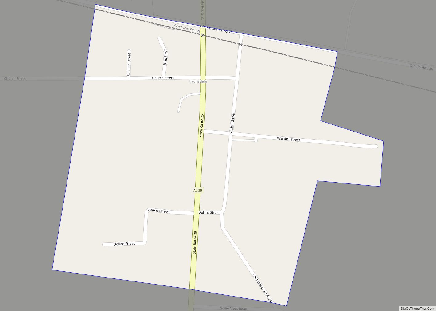
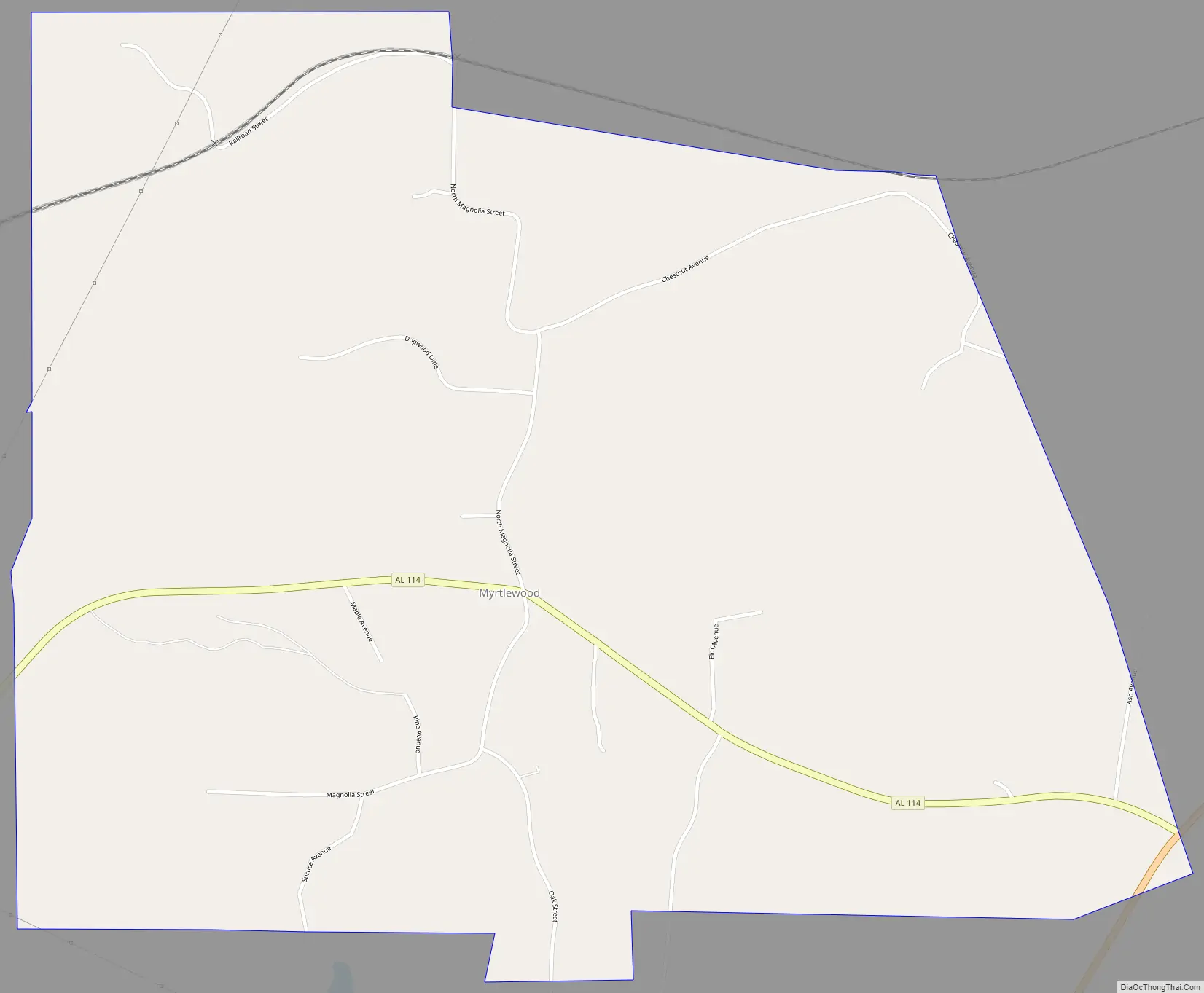
Myrtlewood Road Map
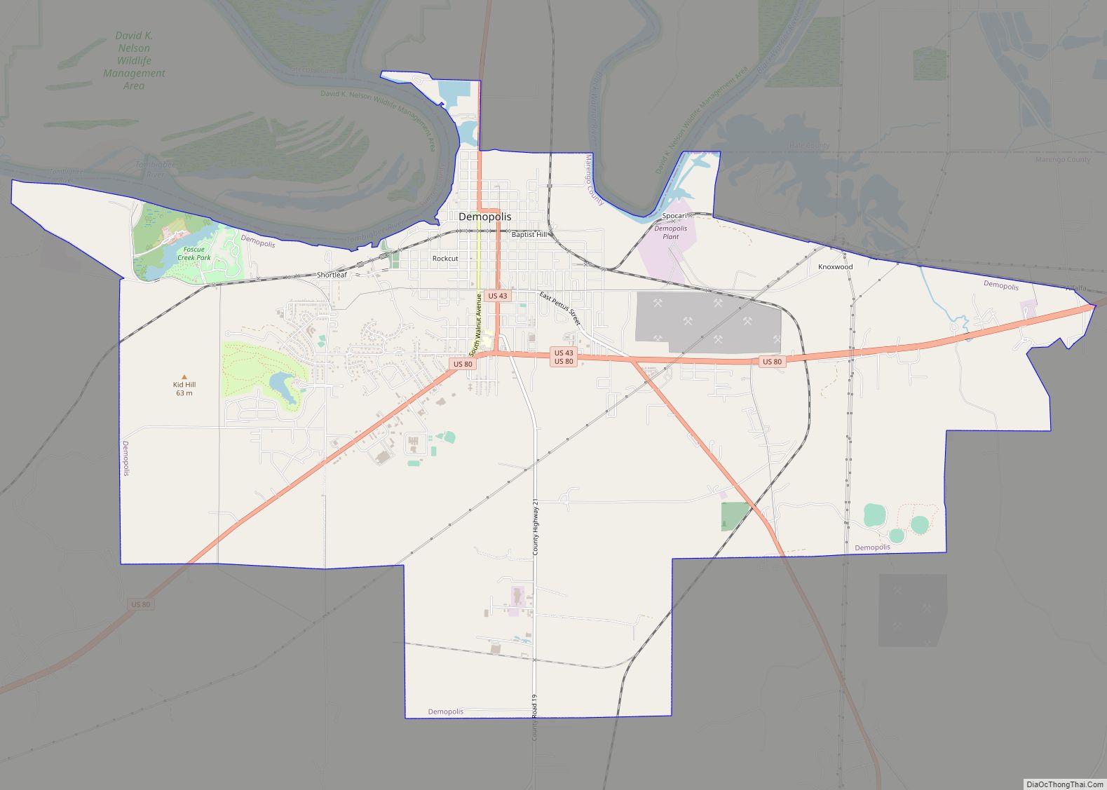
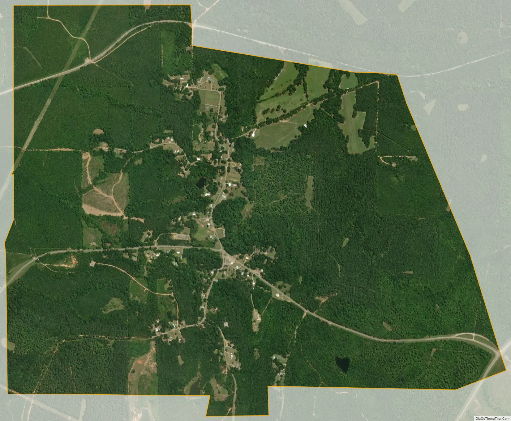
Myrtlewood city Satellite Map
Geography
Myrtlewood is located in western Marengo County at 32°14′50″N 87°56′50″W / 32.24722°N 87.94722°W / 32.24722; -87.94722 (32.247254, -87.947141), along Alabama State Route 114. It is 11 miles (18 km) southwest of Linden, the county seat, and 7 miles (11 km) northeast of Pennington in Choctaw County.
According to the U.S. Census Bureau, the town has a total area of 2.6 square miles (6.7 km), all land. The town sits on high ground 100 feet (30 m) above the valley of the Tombigbee River, which flows southwards 3 miles (5 km) to the west.
See also
Map of Alabama State and its subdivision:- Autauga
- Baldwin
- Barbour
- Bibb
- Blount
- Bullock
- Butler
- Calhoun
- Chambers
- Cherokee
- Chilton
- Choctaw
- Clarke
- Clay
- Cleburne
- Coffee
- Colbert
- Conecuh
- Coosa
- Covington
- Crenshaw
- Cullman
- Dale
- Dallas
- De Kalb
- Elmore
- Escambia
- Etowah
- Fayette
- Franklin
- Geneva
- Greene
- Hale
- Henry
- Houston
- Jackson
- Jefferson
- Lamar
- Lauderdale
- Lawrence
- Lee
- Limestone
- Lowndes
- Macon
- Madison
- Marengo
- Marion
- Marshall
- Mobile
- Monroe
- Montgomery
- Morgan
- Perry
- Pickens
- Pike
- Randolph
- Russell
- Saint Clair
- Shelby
- Sumter
- Talladega
- Tallapoosa
- Tuscaloosa
- Walker
- Washington
- Wilcox
- Winston
- Alabama
- Alaska
- Arizona
- Arkansas
- California
- Colorado
- Connecticut
- Delaware
- District of Columbia
- Florida
- Georgia
- Hawaii
- Idaho
- Illinois
- Indiana
- Iowa
- Kansas
- Kentucky
- Louisiana
- Maine
- Maryland
- Massachusetts
- Michigan
- Minnesota
- Mississippi
- Missouri
- Montana
- Nebraska
- Nevada
- New Hampshire
- New Jersey
- New Mexico
- New York
- North Carolina
- North Dakota
- Ohio
- Oklahoma
- Oregon
- Pennsylvania
- Rhode Island
- South Carolina
- South Dakota
- Tennessee
- Texas
- Utah
- Vermont
- Virginia
- Washington
- West Virginia
- Wisconsin
- Wyoming