Nauvoo is a town on the northwestern edge of Walker County, Alabama, United States, that extends slightly north into southwestern Winston. As of the 2010 census, the population of the town is 221, down from 284 in 2000. Camp McDowell, the official camp and conference center of the Episcopal Diocese of Alabama, is located here.
| Name: | Nauvoo town |
|---|---|
| LSAD Code: | 43 |
| LSAD Description: | town (suffix) |
| State: | Alabama |
| County: | Walker County, Winston County |
| Elevation: | 568 ft (173 m) |
| Total Area: | 0.99 sq mi (2.57 km²) |
| Land Area: | 0.99 sq mi (2.56 km²) |
| Water Area: | 0.00 sq mi (0.01 km²) |
| Total Population: | 185 |
| Population Density: | 187.06/sq mi (72.20/km²) |
| ZIP code: | 35578 |
| Area code: | 205, 659 |
| FIPS code: | 0153400 |
| GNISfeature ID: | 0160219 |
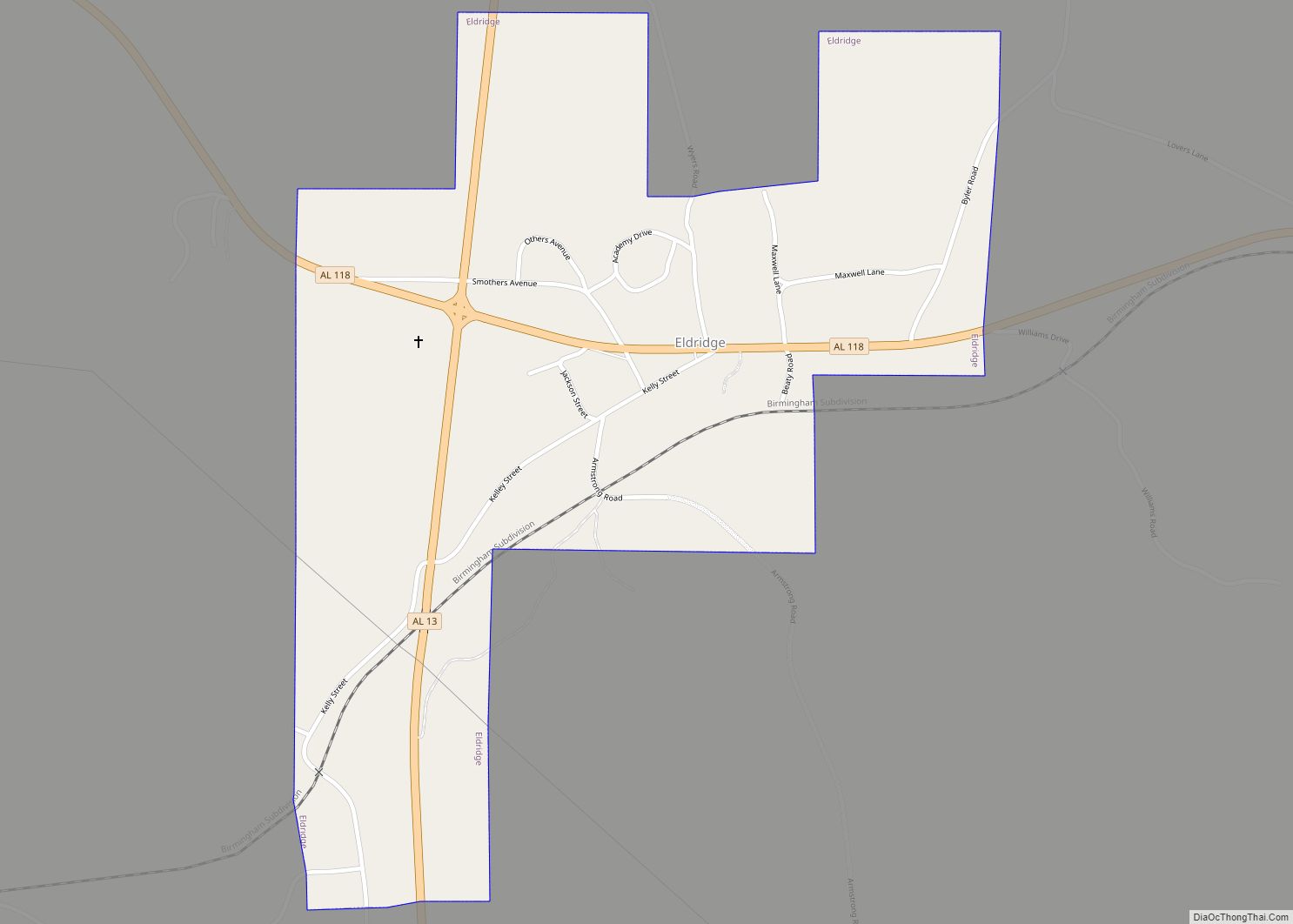
Online Interactive Map
Click on ![]() to view map in "full screen" mode.
to view map in "full screen" mode.
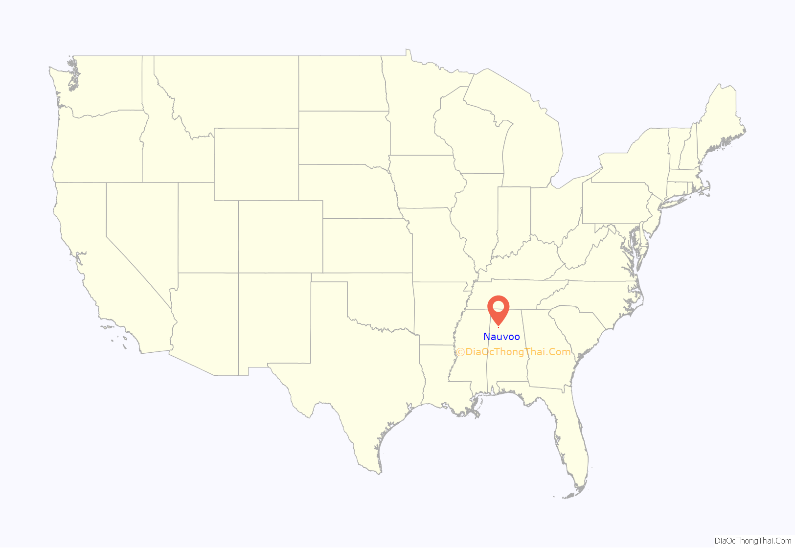
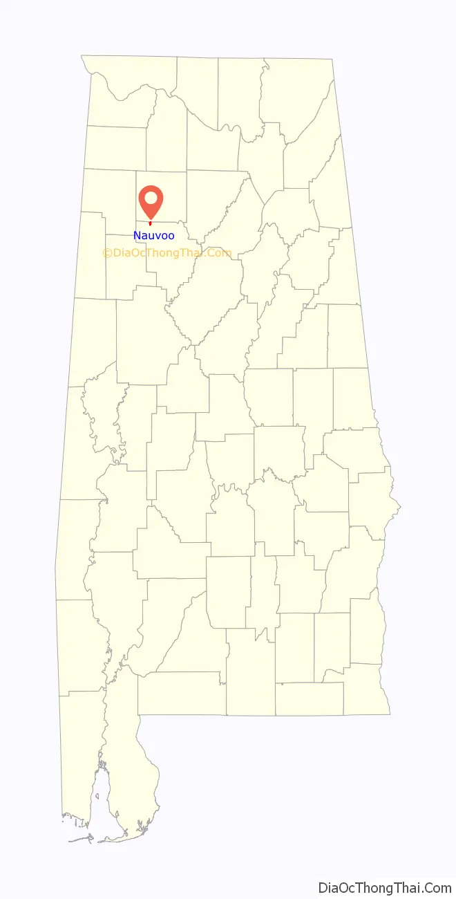
Nauvoo location map. Where is Nauvoo town?
History
The town of Nauvoo was founded in 1888, during the construction of the Northern Alabama Railway, and was formerly a center of coal mining. The town grew out of isolated agricultural settlements on the Walker County-Winston County line, which had been known unofficially as Blackwell’s Crossing and Ingle Mills (or Ingle’s Mill) after prominent local landowners. Railroad construction drove the development of the town center on Joshua Blackwell’s property, but he declined to have the new town be named officially in his honor. The local resident Tom Carroll suggested the name “Nauvoo,” after Nauvoo, Illinois — a city founded by Mormon prophet Joseph Smith in 1839 and later the site of an Icarian colony settlement — reportedly “because he had admired the [Illinois] town… in his earlier travels through that state.” By 1891, the town was mentioned in the Winston Herald as “Nauvoo, a flourishing town with three stores and one steam gin doing good business.” Nauvoo incorporated in 1906.
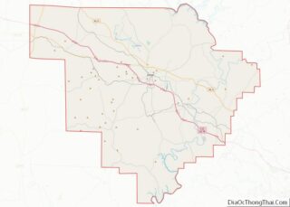
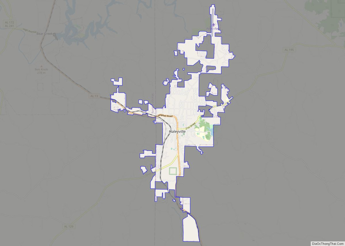
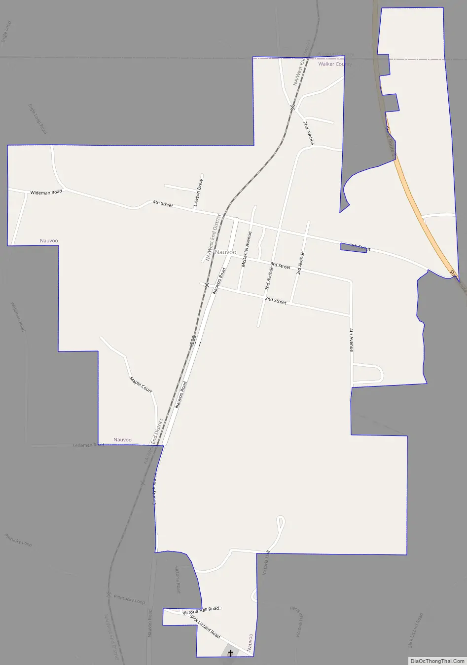
Nauvoo Road Map
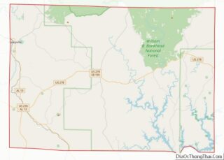
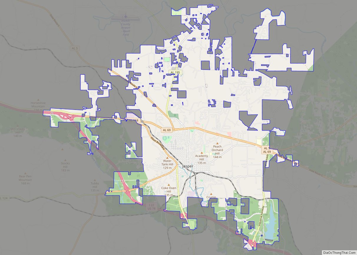
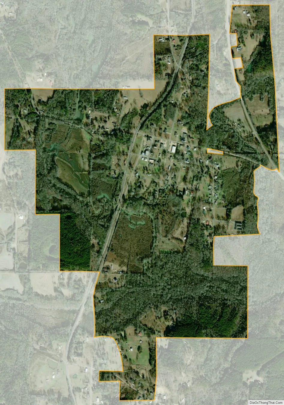
Nauvoo city Satellite Map
Geography
Nauvoo is located at 33°59′19″N 87°29′16″W / 33.988571°N 87.487814°W / 33.988571; -87.487814.
See also
Map of Alabama State and its subdivision:- Autauga
- Baldwin
- Barbour
- Bibb
- Blount
- Bullock
- Butler
- Calhoun
- Chambers
- Cherokee
- Chilton
- Choctaw
- Clarke
- Clay
- Cleburne
- Coffee
- Colbert
- Conecuh
- Coosa
- Covington
- Crenshaw
- Cullman
- Dale
- Dallas
- De Kalb
- Elmore
- Escambia
- Etowah
- Fayette
- Franklin
- Geneva
- Greene
- Hale
- Henry
- Houston
- Jackson
- Jefferson
- Lamar
- Lauderdale
- Lawrence
- Lee
- Limestone
- Lowndes
- Macon
- Madison
- Marengo
- Marion
- Marshall
- Mobile
- Monroe
- Montgomery
- Morgan
- Perry
- Pickens
- Pike
- Randolph
- Russell
- Saint Clair
- Shelby
- Sumter
- Talladega
- Tallapoosa
- Tuscaloosa
- Walker
- Washington
- Wilcox
- Winston
- Alabama
- Alaska
- Arizona
- Arkansas
- California
- Colorado
- Connecticut
- Delaware
- District of Columbia
- Florida
- Georgia
- Hawaii
- Idaho
- Illinois
- Indiana
- Iowa
- Kansas
- Kentucky
- Louisiana
- Maine
- Maryland
- Massachusetts
- Michigan
- Minnesota
- Mississippi
- Missouri
- Montana
- Nebraska
- Nevada
- New Hampshire
- New Jersey
- New Mexico
- New York
- North Carolina
- North Dakota
- Ohio
- Oklahoma
- Oregon
- Pennsylvania
- Rhode Island
- South Carolina
- South Dakota
- Tennessee
- Texas
- Utah
- Vermont
- Virginia
- Washington
- West Virginia
- Wisconsin
- Wyoming