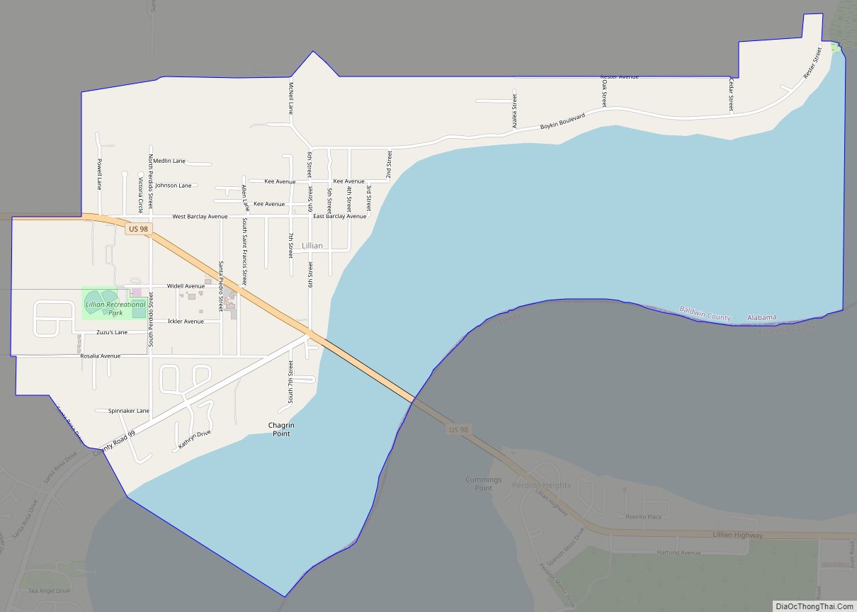
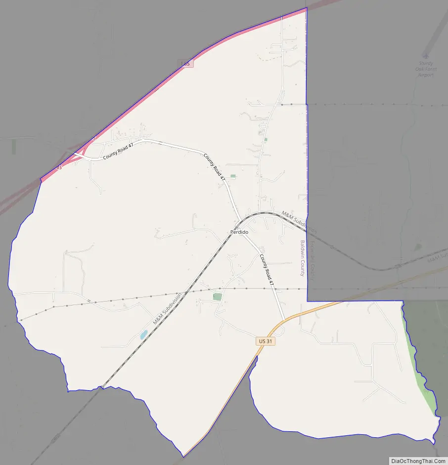
Perdido, also known as Perdido Station, is an unincorporated community and census-designated place in Baldwin County, Alabama, United States. Perdido is located along County Route 61, 12.2 miles (19.6 km) northeast of Bay Minette. Perdido has a post office with ZIP code 36562. It has an elementary school, Perdido School, which is part of the Baldwin County Board of Education.
| Name: | Perdido CDP |
|---|---|
| LSAD Code: | 57 |
| LSAD Description: | CDP (suffix) |
| State: | Alabama |
| County: | Baldwin County |
| Elevation: | 220 ft (70 m) |
| Total Area: | 11.17 sq mi (28.92 km²) |
| Land Area: | 11.14 sq mi (28.85 km²) |
| Water Area: | 0.03 sq mi (0.08 km²) |
| Total Population: | 730 |
| Population Density: | 65.54/sq mi (25.31/km²) |
| ZIP code: | 36562 |
| Area code: | 251 |
| FIPS code: | 0159064 |
| GNISfeature ID: | 152869 |
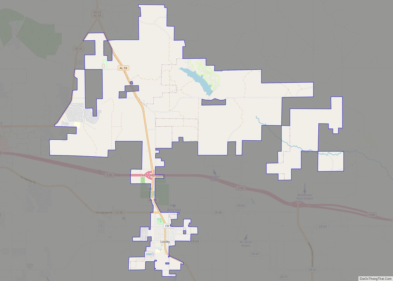
Online Interactive Map
Click on ![]() to view map in "full screen" mode.
to view map in "full screen" mode.
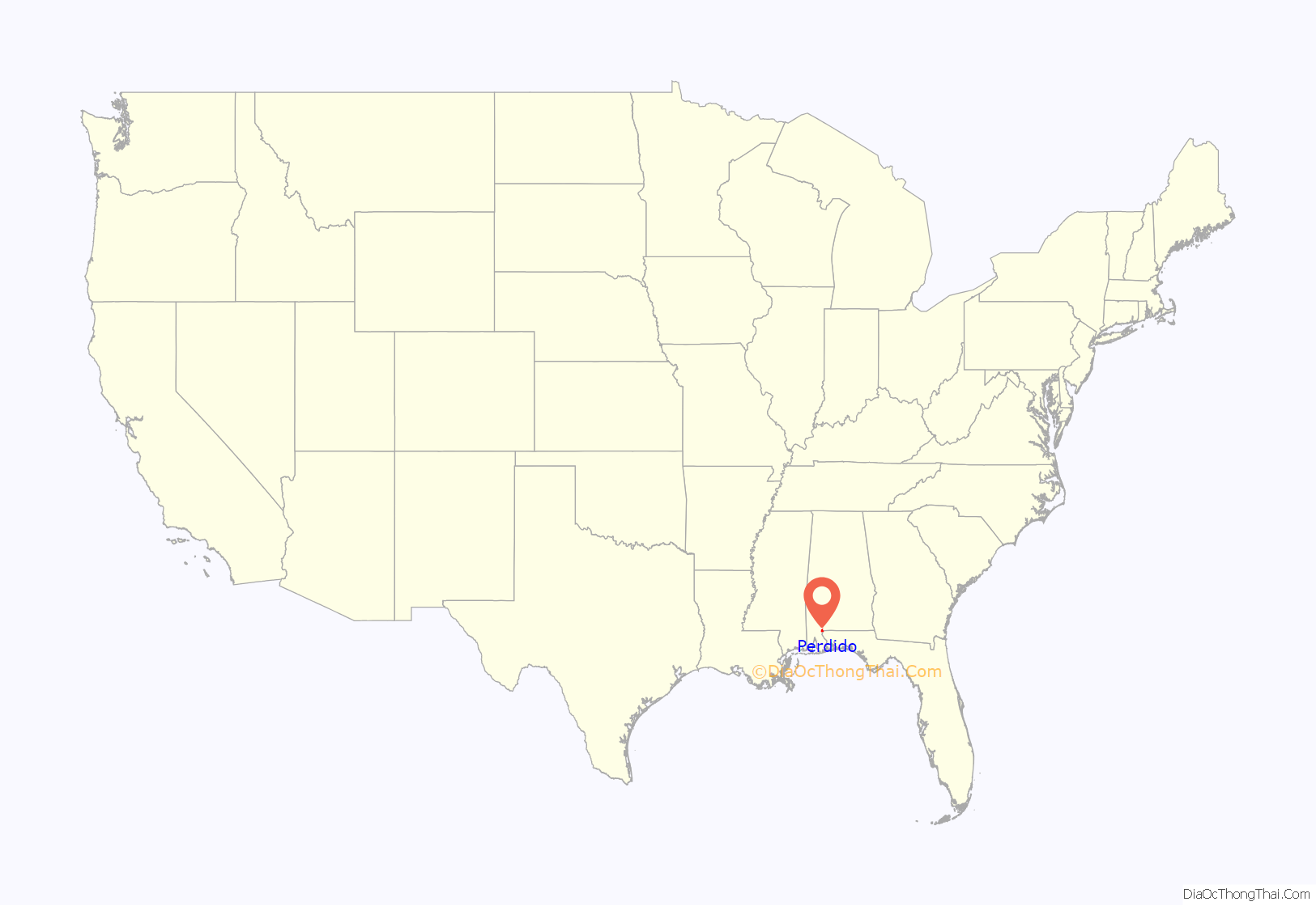
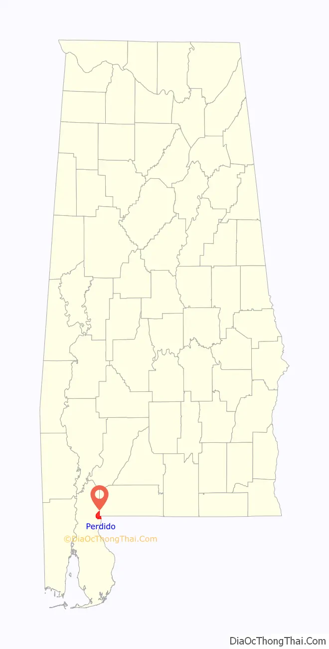
Perdido location map. Where is Perdido CDP?
History
Perdido is named after the Perdido River. A post office operated under the name Perdido Station from 1871 to 1923, and under the name Perdido from 1923 to present.
Perdido Road Map
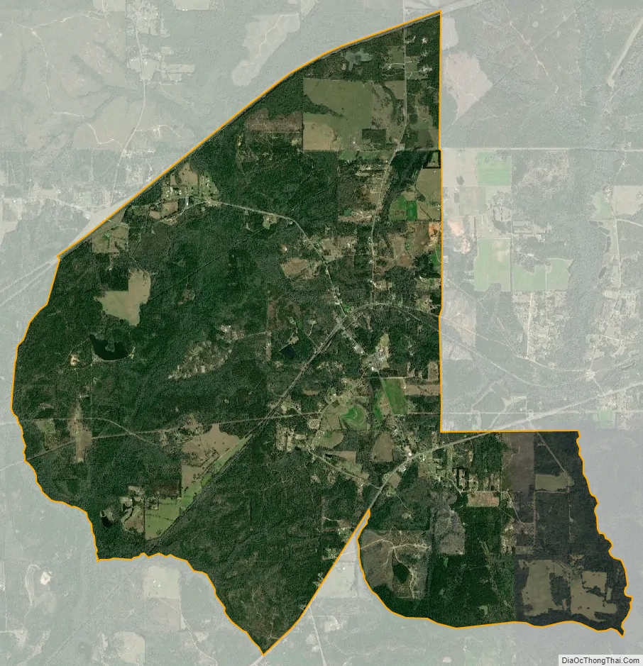
Perdido city Satellite Map
See also
Map of Alabama State and its subdivision:- Autauga
- Baldwin
- Barbour
- Bibb
- Blount
- Bullock
- Butler
- Calhoun
- Chambers
- Cherokee
- Chilton
- Choctaw
- Clarke
- Clay
- Cleburne
- Coffee
- Colbert
- Conecuh
- Coosa
- Covington
- Crenshaw
- Cullman
- Dale
- Dallas
- De Kalb
- Elmore
- Escambia
- Etowah
- Fayette
- Franklin
- Geneva
- Greene
- Hale
- Henry
- Houston
- Jackson
- Jefferson
- Lamar
- Lauderdale
- Lawrence
- Lee
- Limestone
- Lowndes
- Macon
- Madison
- Marengo
- Marion
- Marshall
- Mobile
- Monroe
- Montgomery
- Morgan
- Perry
- Pickens
- Pike
- Randolph
- Russell
- Saint Clair
- Shelby
- Sumter
- Talladega
- Tallapoosa
- Tuscaloosa
- Walker
- Washington
- Wilcox
- Winston
- Alabama
- Alaska
- Arizona
- Arkansas
- California
- Colorado
- Connecticut
- Delaware
- District of Columbia
- Florida
- Georgia
- Hawaii
- Idaho
- Illinois
- Indiana
- Iowa
- Kansas
- Kentucky
- Louisiana
- Maine
- Maryland
- Massachusetts
- Michigan
- Minnesota
- Mississippi
- Missouri
- Montana
- Nebraska
- Nevada
- New Hampshire
- New Jersey
- New Mexico
- New York
- North Carolina
- North Dakota
- Ohio
- Oklahoma
- Oregon
- Pennsylvania
- Rhode Island
- South Carolina
- South Dakota
- Tennessee
- Texas
- Utah
- Vermont
- Virginia
- Washington
- West Virginia
- Wisconsin
- Wyoming