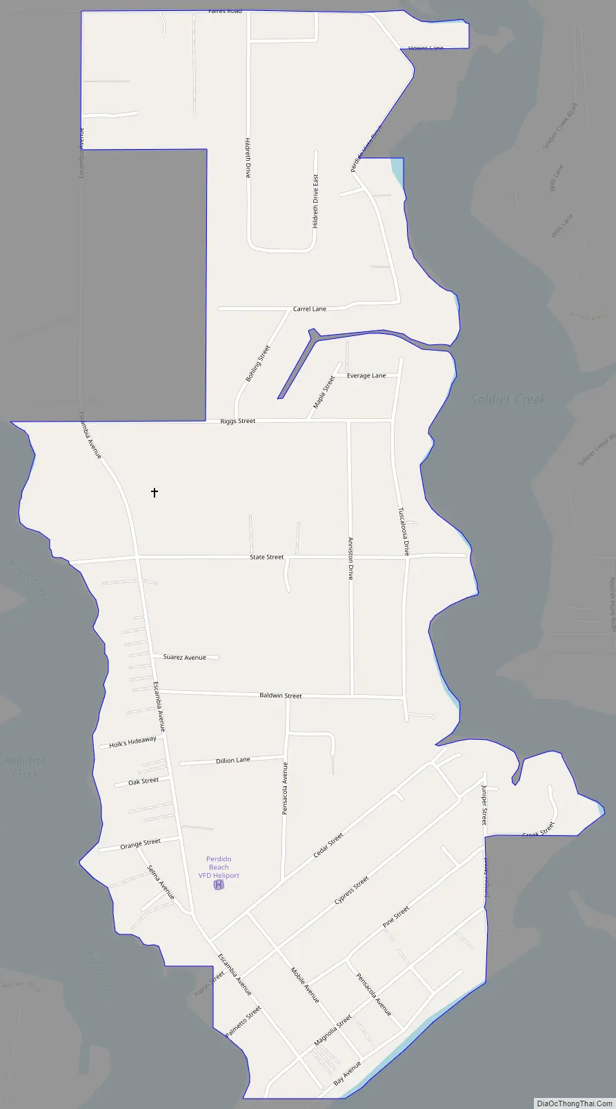
Perdido Beach is a town located on the northern shore of Perdido Bay, between the mouths of Soldier Creek and Palmetto Creek in Baldwin County, Alabama, United States. In an April 2009 plebiscite, over 60% of local voters supported incorporation as a town. On June 10, 2009, Baldwin County Probate Judge Adrian Johns issued an order which incorporated the area as a town. The first municipal elections, in which the mayor and town council will be elected, were scheduled for the fall of 2009. As of the 2010 census, the town had a population of 581.
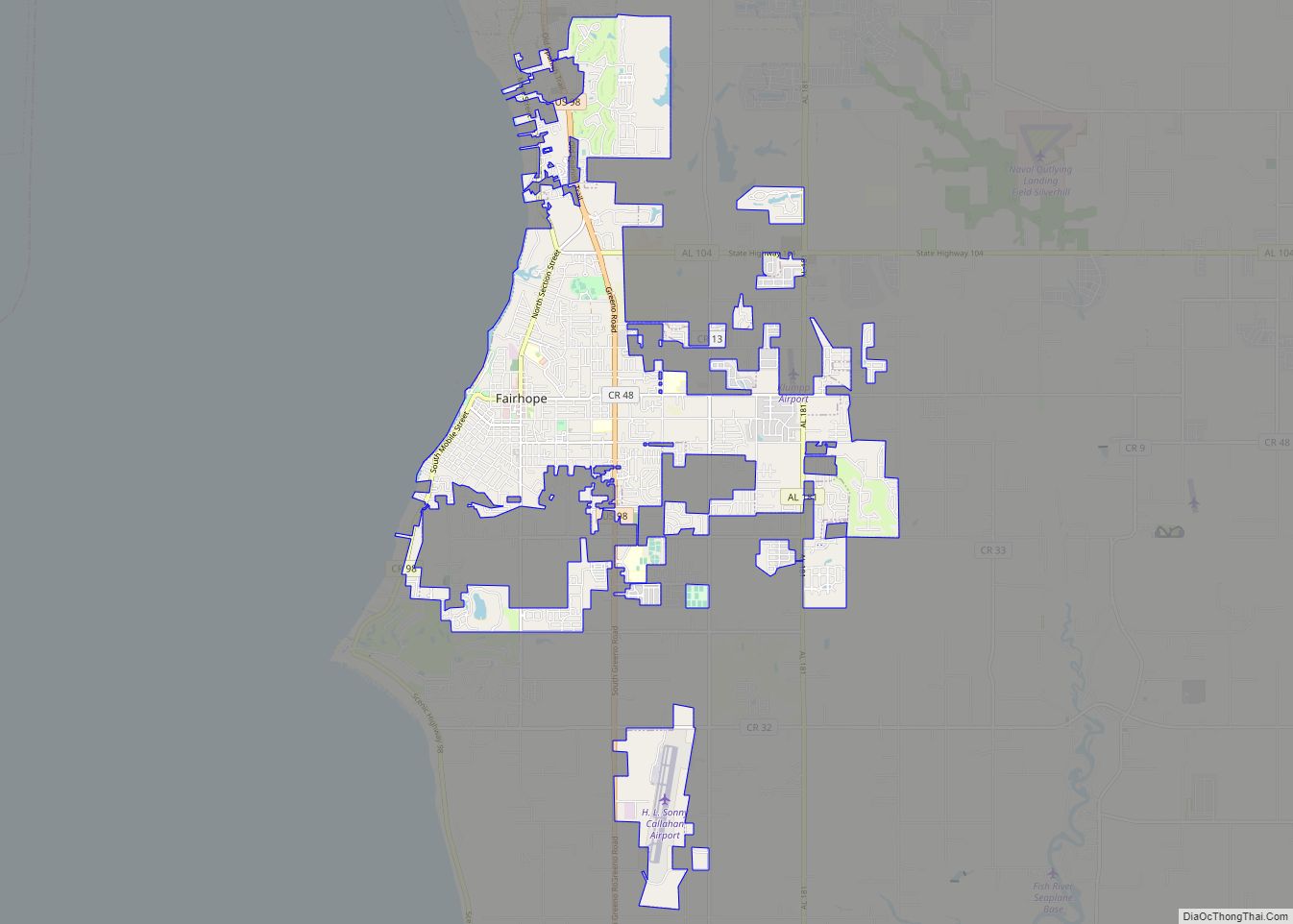
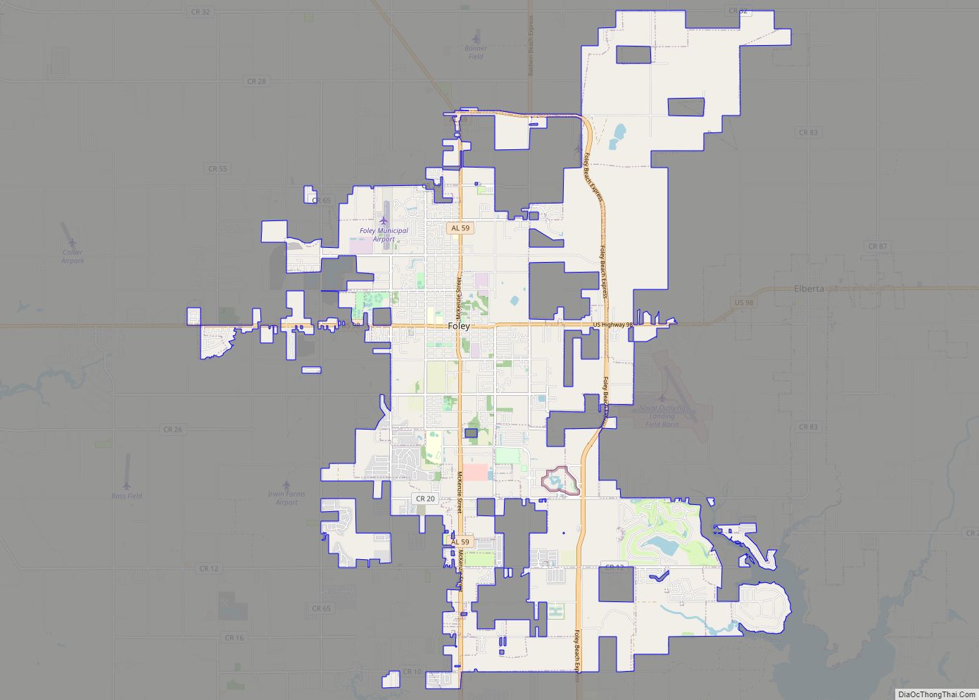
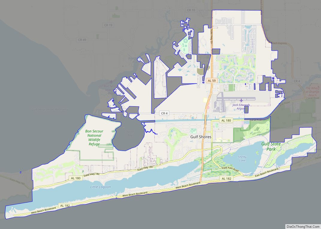
Perdido Beach is part of the Daphne-Fairhope-Foley metropolitan area.
| Name: | Perdido Beach town |
|---|---|
| LSAD Code: | 43 |
| LSAD Description: | town (suffix) |
| State: | Alabama |
| County: | Baldwin County |
| Total Area: | 1.19 sq mi (3.07 km²) |
| Land Area: | 1.19 sq mi (3.07 km²) |
| Water Area: | 0.00 sq mi (0.00 km²) |
| Total Population: | 555 |
| Population Density: | 468.35/sq mi (180.89/km²) |
| ZIP code: | 36530 |
| Area code: | 251 |
| FIPS code: | 0159088 |
| Website: | www.townofperdidobeach.org |
Online Interactive Map
Click on ![]() to view map in "full screen" mode.
to view map in "full screen" mode.
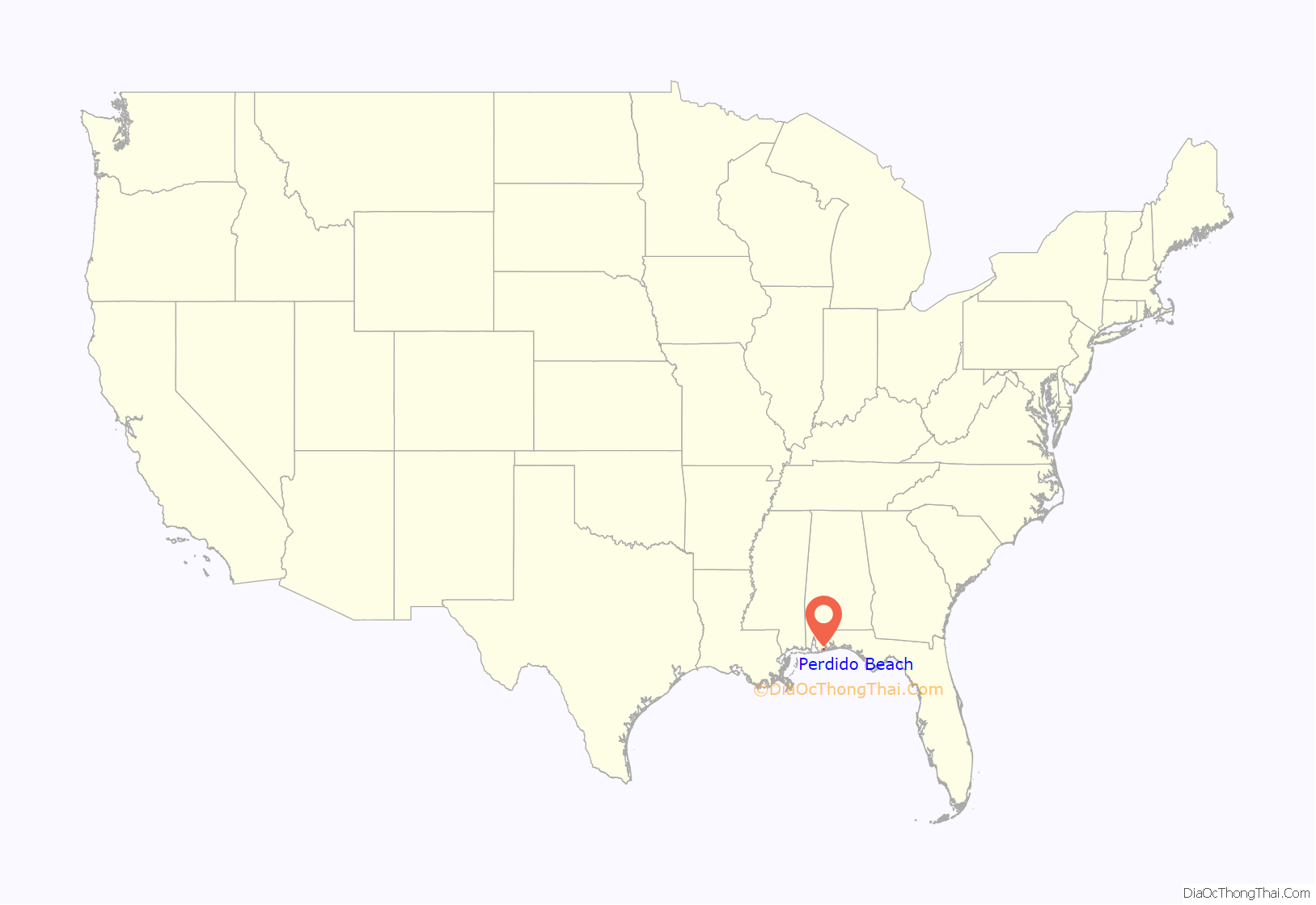
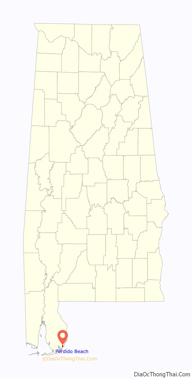
Perdido Beach location map. Where is Perdido Beach town?
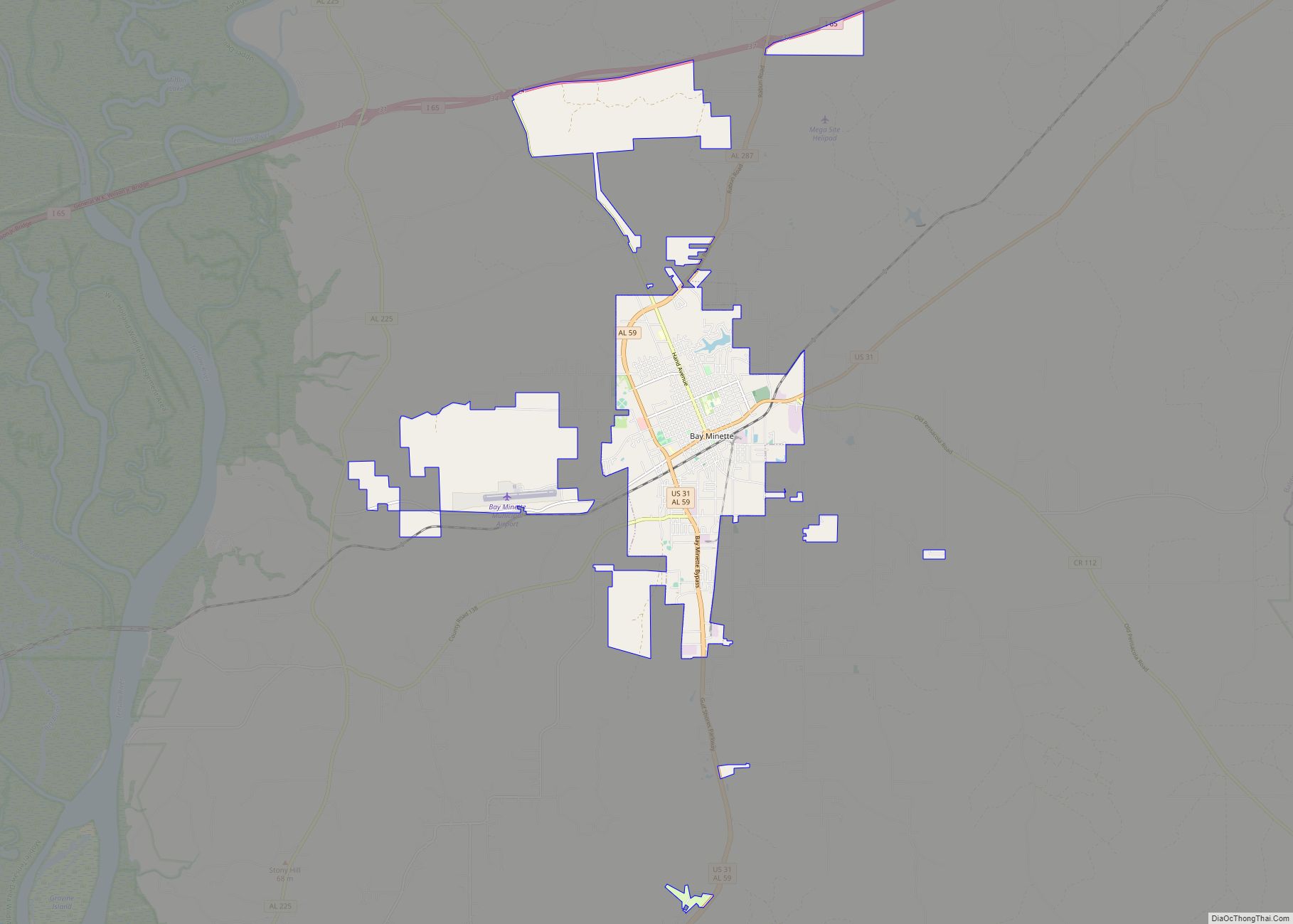
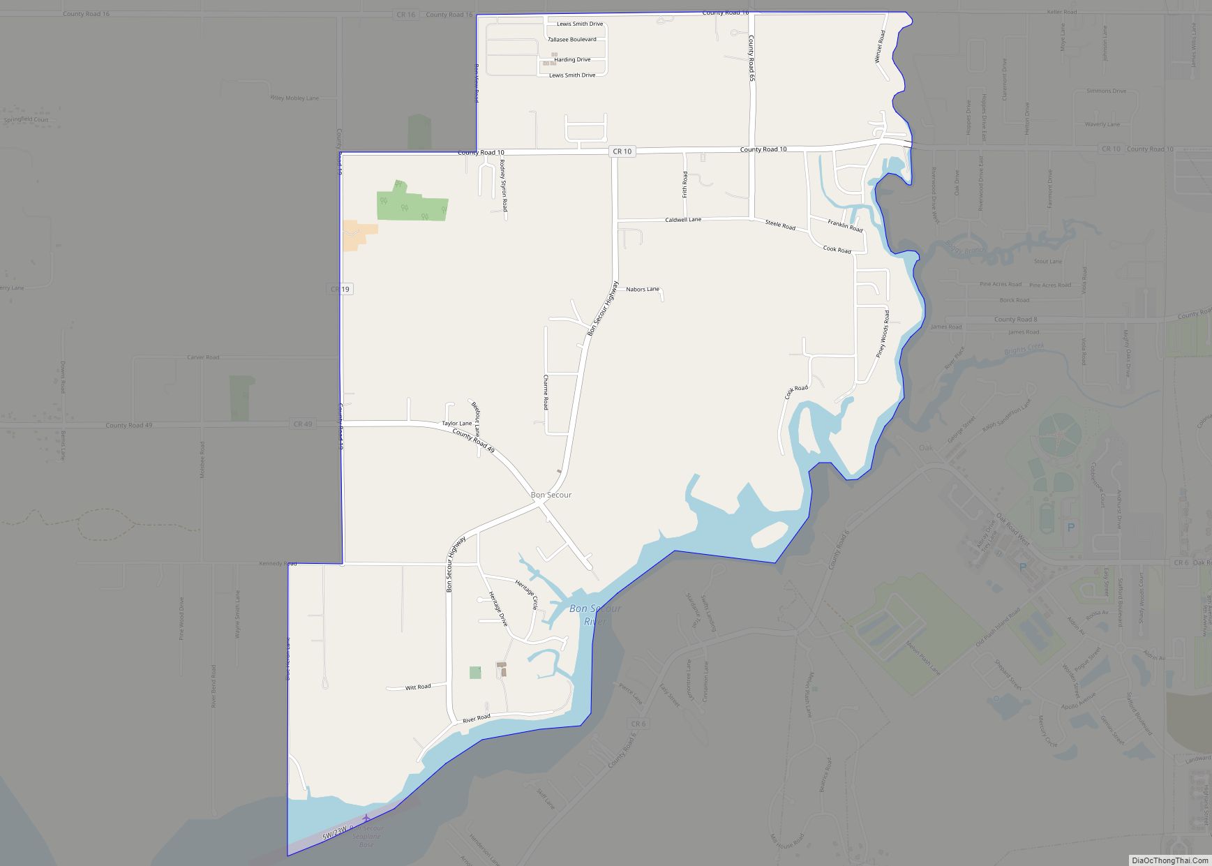
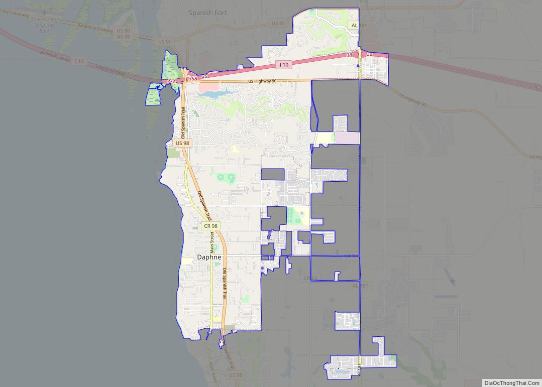
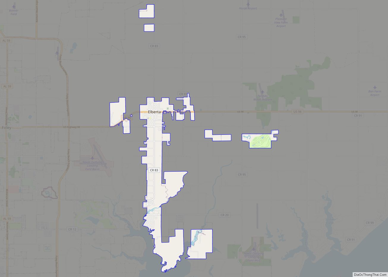
Perdido Beach Road Map
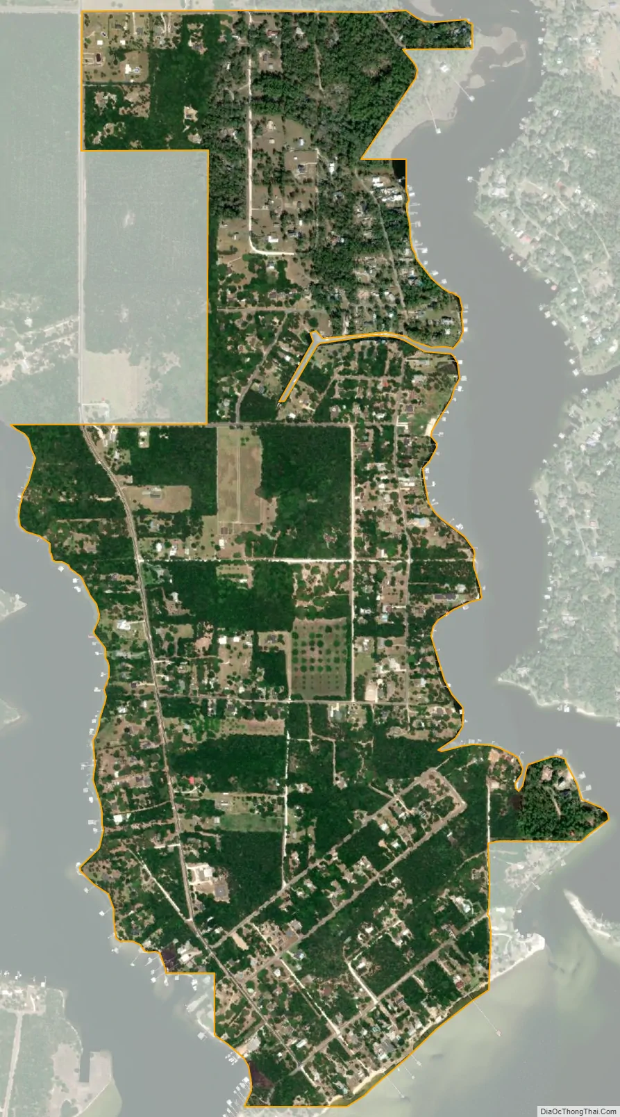
Perdido Beach city Satellite Map
See also
Map of Alabama State and its subdivision:- Autauga
- Baldwin
- Barbour
- Bibb
- Blount
- Bullock
- Butler
- Calhoun
- Chambers
- Cherokee
- Chilton
- Choctaw
- Clarke
- Clay
- Cleburne
- Coffee
- Colbert
- Conecuh
- Coosa
- Covington
- Crenshaw
- Cullman
- Dale
- Dallas
- De Kalb
- Elmore
- Escambia
- Etowah
- Fayette
- Franklin
- Geneva
- Greene
- Hale
- Henry
- Houston
- Jackson
- Jefferson
- Lamar
- Lauderdale
- Lawrence
- Lee
- Limestone
- Lowndes
- Macon
- Madison
- Marengo
- Marion
- Marshall
- Mobile
- Monroe
- Montgomery
- Morgan
- Perry
- Pickens
- Pike
- Randolph
- Russell
- Saint Clair
- Shelby
- Sumter
- Talladega
- Tallapoosa
- Tuscaloosa
- Walker
- Washington
- Wilcox
- Winston
- Alabama
- Alaska
- Arizona
- Arkansas
- California
- Colorado
- Connecticut
- Delaware
- District of Columbia
- Florida
- Georgia
- Hawaii
- Idaho
- Illinois
- Indiana
- Iowa
- Kansas
- Kentucky
- Louisiana
- Maine
- Maryland
- Massachusetts
- Michigan
- Minnesota
- Mississippi
- Missouri
- Montana
- Nebraska
- Nevada
- New Hampshire
- New Jersey
- New Mexico
- New York
- North Carolina
- North Dakota
- Ohio
- Oklahoma
- Oregon
- Pennsylvania
- Rhode Island
- South Carolina
- South Dakota
- Tennessee
- Texas
- Utah
- Vermont
- Virginia
- Washington
- West Virginia
- Wisconsin
- Wyoming