Rainbow City is a city in Etowah County, Alabama, United States. It incorporated in 1950. The population was 9,602 at the 2010 census. It is part of the Gadsden Metropolitan Statistical Area.
| Name: | Rainbow City city |
|---|---|
| LSAD Code: | 25 |
| LSAD Description: | city (suffix) |
| State: | Alabama |
| County: | Etowah County |
| Elevation: | 518 ft (158 m) |
| Total Area: | 25.92 sq mi (67.13 km²) |
| Land Area: | 25.58 sq mi (66.25 km²) |
| Water Area: | 0.34 sq mi (0.88 km²) |
| Total Population: | 10,191 |
| Population Density: | 398.41/sq mi (153.83/km²) |
| ZIP code: | 35901, 35906 |
| Area code: | 256 |
| FIPS code: | 0163288 |
| GNISfeature ID: | 2404588 |
| Website: | www.rbcalabama.com |
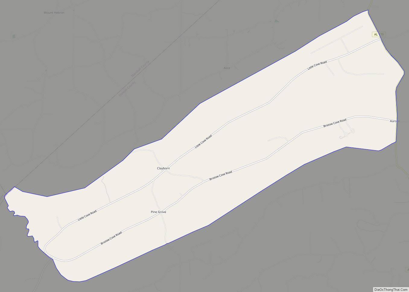
Online Interactive Map
Click on ![]() to view map in "full screen" mode.
to view map in "full screen" mode.
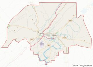
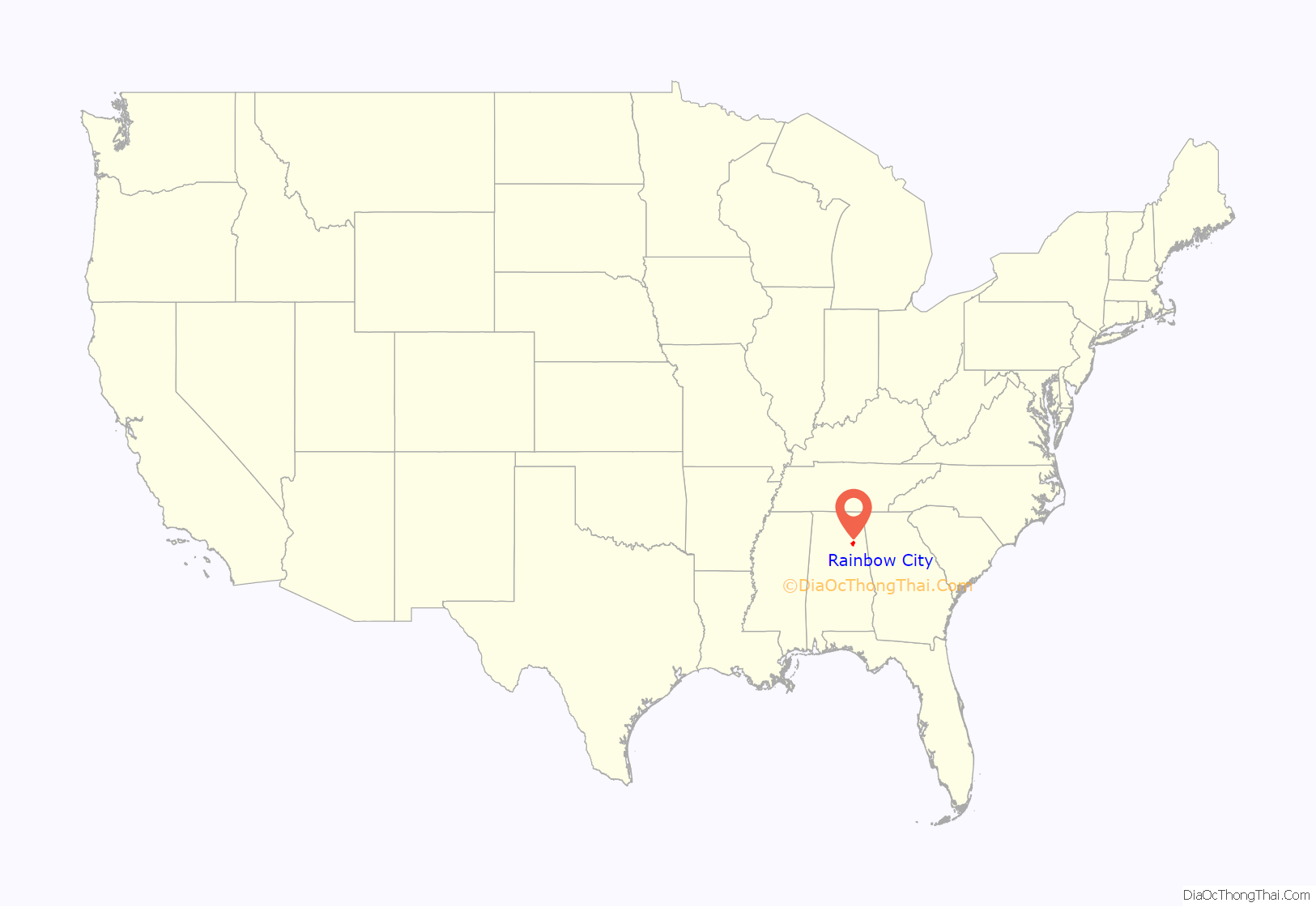
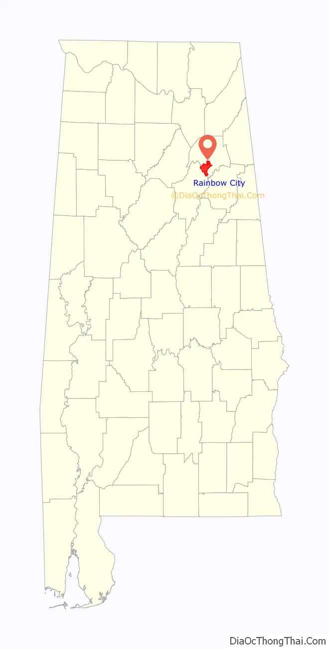
Rainbow City location map. Where is Rainbow City city?
History
This city was named after U.S. Highway 411, called Rainbow Drive, which runs through the middle of the city.
Hernando de Soto’s troops were the first visitors to the area in 1540. In 1818, families from the Carolinas and Georgia began to migrate to the area and homestead land near the Coosa River, calling the area “Coosa Bend”. This area was later called “Morgan’s Cross Road”, located at the intersection of the Gadsden-Ashville Road and Gilbert’s Ferry Road.
John Sheffield Jones, the grandson of an original settler, donated $1,000 and the land for the construction of the first John S. Jones Elementary School. This school later burned to the ground; a new elementary school was built and serves the Rainbow City area today.
On April 2, 1831, a church was organized at the Harmony Meeting House. A few years later, the first Baptist association was organized. Harmony was one of the first five members in the association. The adjoining cemetery, Old Harmony Cemetery, has been declared a historic landmark.
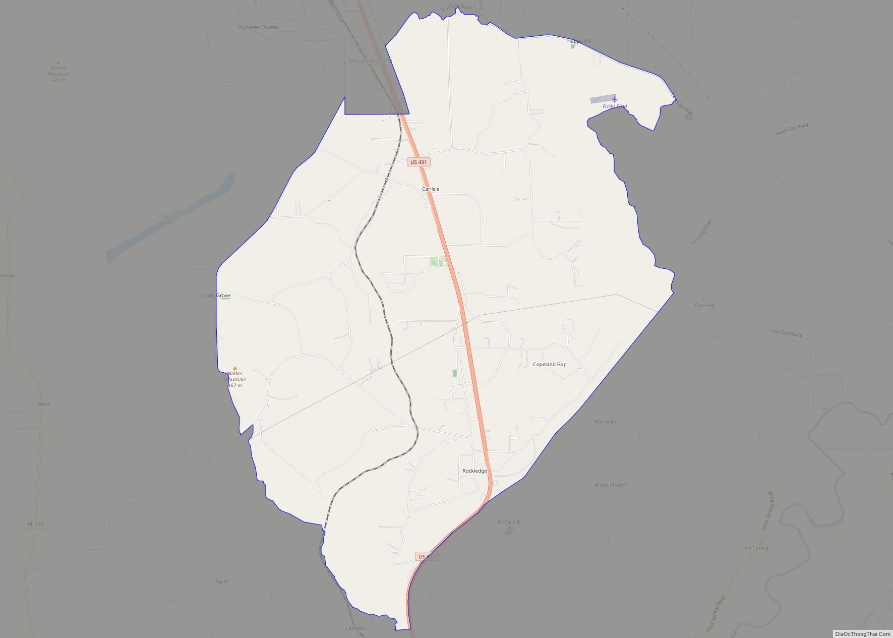
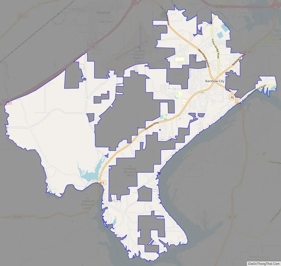
Rainbow City Road Map
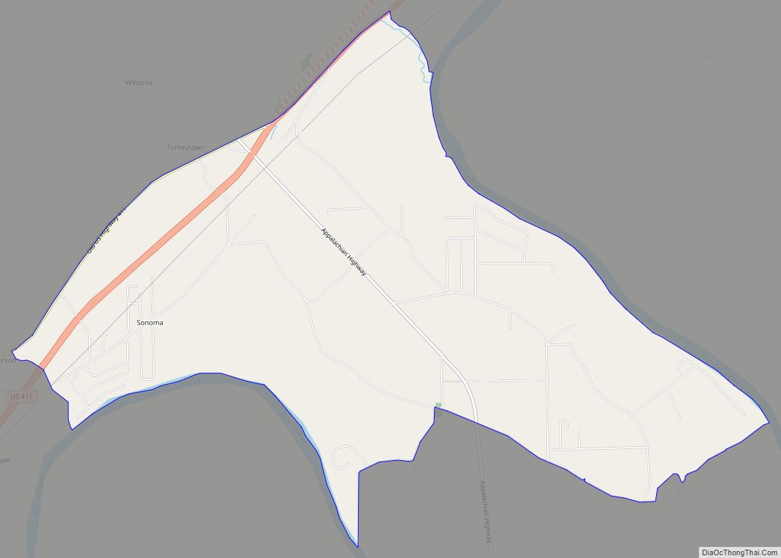
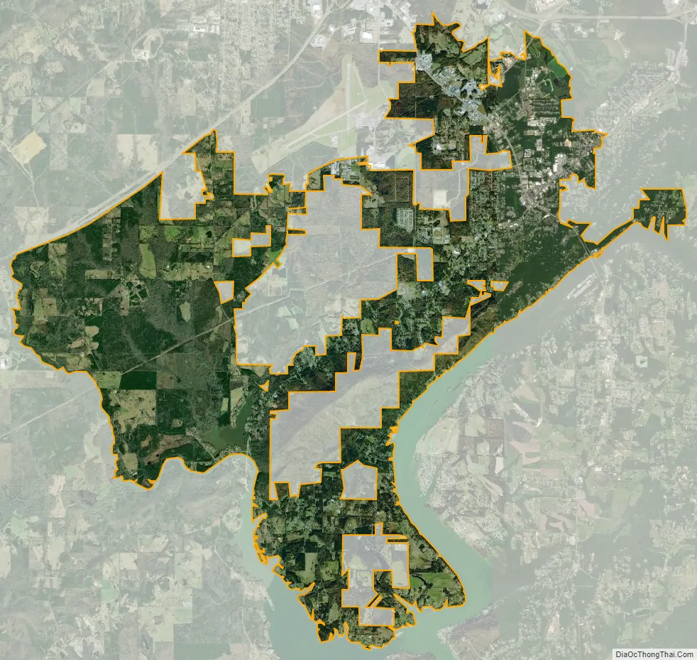
Rainbow City city Satellite Map
Geography
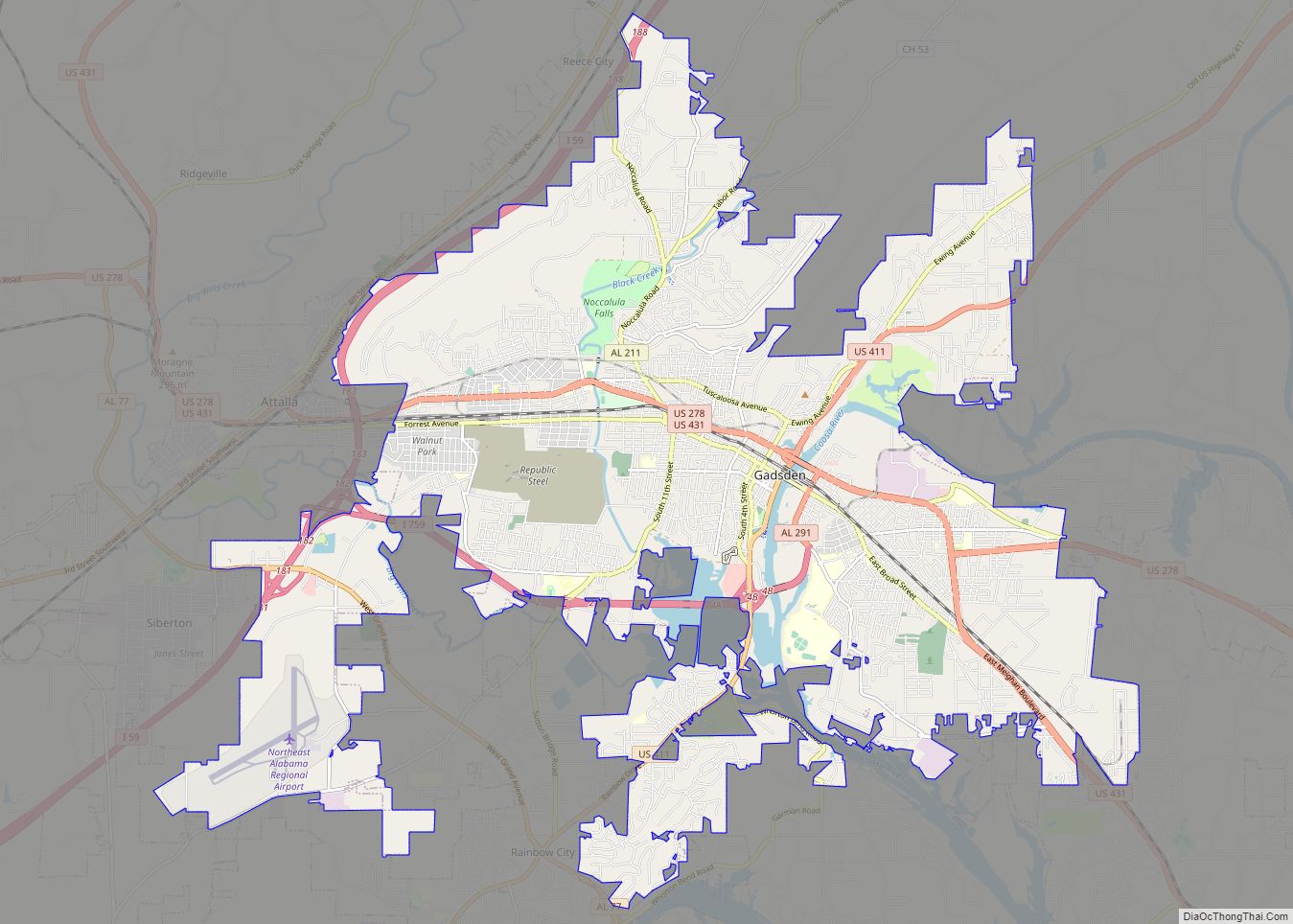
Rainbow City is located in southern Etowah County at 33°56′38″N 86°3′42″W / 33.94389°N 86.06167°W / 33.94389; -86.06167 (33.943964, −86.061546). It is bordered to the northeast by Gadsden, the county seat, to the southeast by the Coosa River, across which is the city of Southside, and to the southwest, across Little Canoe Creek, by the town of Steele in St. Clair County.
U.S. Route 411 (Rainbow Drive) is the main road through the city, leading northeast 6 miles (10 km) to the center of Gadsden and southwest 15 miles (24 km) to Ashville. Alabama State Route 77 (Grand Avenue) crosses US 411 in the center of Rainbow City, leading northwest 4 miles (6 km) to Interstate 59 at Exit 181 and south 26 miles (42 km) to Lincoln.
According to the U.S. Census Bureau, Rainbow City has a total area of 25.6 square miles (66.3 km), of which 25.4 square miles (65.9 km) is land and 0.15 square miles (0.4 km), or 0.58%, is water.
See also
Map of Alabama State and its subdivision:- Autauga
- Baldwin
- Barbour
- Bibb
- Blount
- Bullock
- Butler
- Calhoun
- Chambers
- Cherokee
- Chilton
- Choctaw
- Clarke
- Clay
- Cleburne
- Coffee
- Colbert
- Conecuh
- Coosa
- Covington
- Crenshaw
- Cullman
- Dale
- Dallas
- De Kalb
- Elmore
- Escambia
- Etowah
- Fayette
- Franklin
- Geneva
- Greene
- Hale
- Henry
- Houston
- Jackson
- Jefferson
- Lamar
- Lauderdale
- Lawrence
- Lee
- Limestone
- Lowndes
- Macon
- Madison
- Marengo
- Marion
- Marshall
- Mobile
- Monroe
- Montgomery
- Morgan
- Perry
- Pickens
- Pike
- Randolph
- Russell
- Saint Clair
- Shelby
- Sumter
- Talladega
- Tallapoosa
- Tuscaloosa
- Walker
- Washington
- Wilcox
- Winston
- Alabama
- Alaska
- Arizona
- Arkansas
- California
- Colorado
- Connecticut
- Delaware
- District of Columbia
- Florida
- Georgia
- Hawaii
- Idaho
- Illinois
- Indiana
- Iowa
- Kansas
- Kentucky
- Louisiana
- Maine
- Maryland
- Massachusetts
- Michigan
- Minnesota
- Mississippi
- Missouri
- Montana
- Nebraska
- Nevada
- New Hampshire
- New Jersey
- New Mexico
- New York
- North Carolina
- North Dakota
- Ohio
- Oklahoma
- Oregon
- Pennsylvania
- Rhode Island
- South Carolina
- South Dakota
- Tennessee
- Texas
- Utah
- Vermont
- Virginia
- Washington
- West Virginia
- Wisconsin
- Wyoming