Riverview is a town in Escambia County, Alabama, United States. At the 2010 census the population was 184, up from 99 at the 2000 census.
| Name: | Riverview town |
|---|---|
| LSAD Code: | 43 |
| LSAD Description: | town (suffix) |
| State: | Alabama |
| County: | Escambia County |
| Elevation: | 72 ft (22 m) |
| Total Area: | 1.47 sq mi (3.80 km²) |
| Land Area: | 1.45 sq mi (3.75 km²) |
| Water Area: | 0.02 sq mi (0.06 km²) |
| Total Population: | 163 |
| Population Density: | 112.72/sq mi (43.51/km²) |
| FIPS code: | 0165016 |
| GNISfeature ID: | 0155791 |
Online Interactive Map
Click on ![]() to view map in "full screen" mode.
to view map in "full screen" mode.
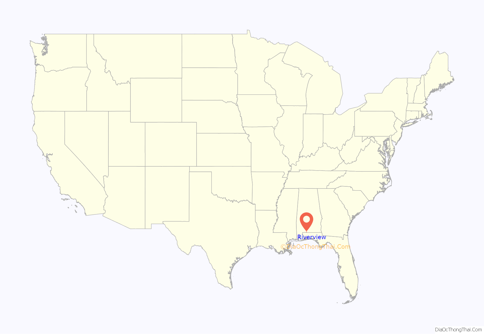
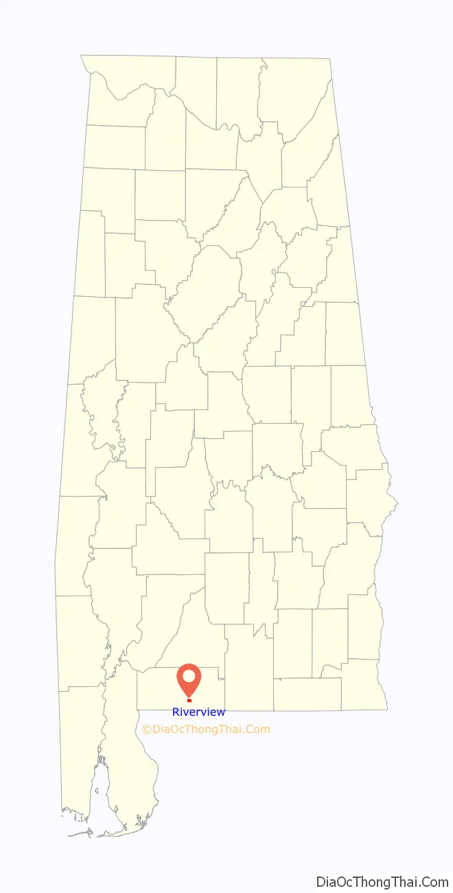
Riverview location map. Where is Riverview town?
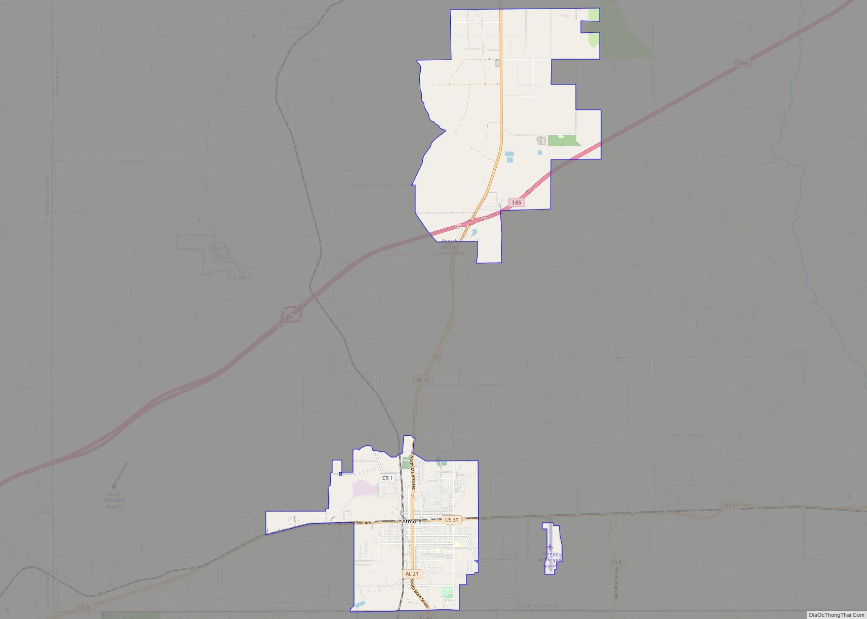
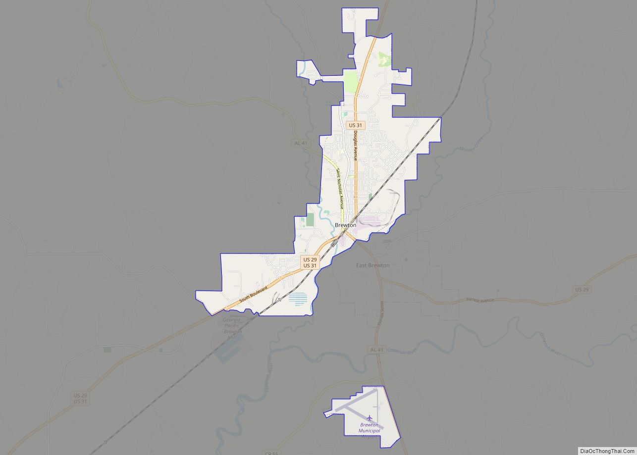
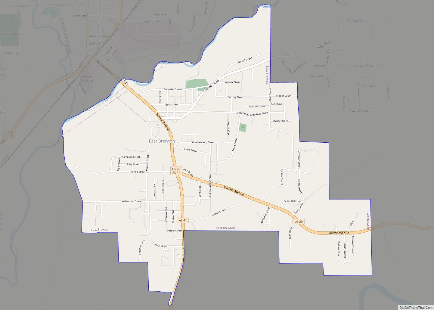
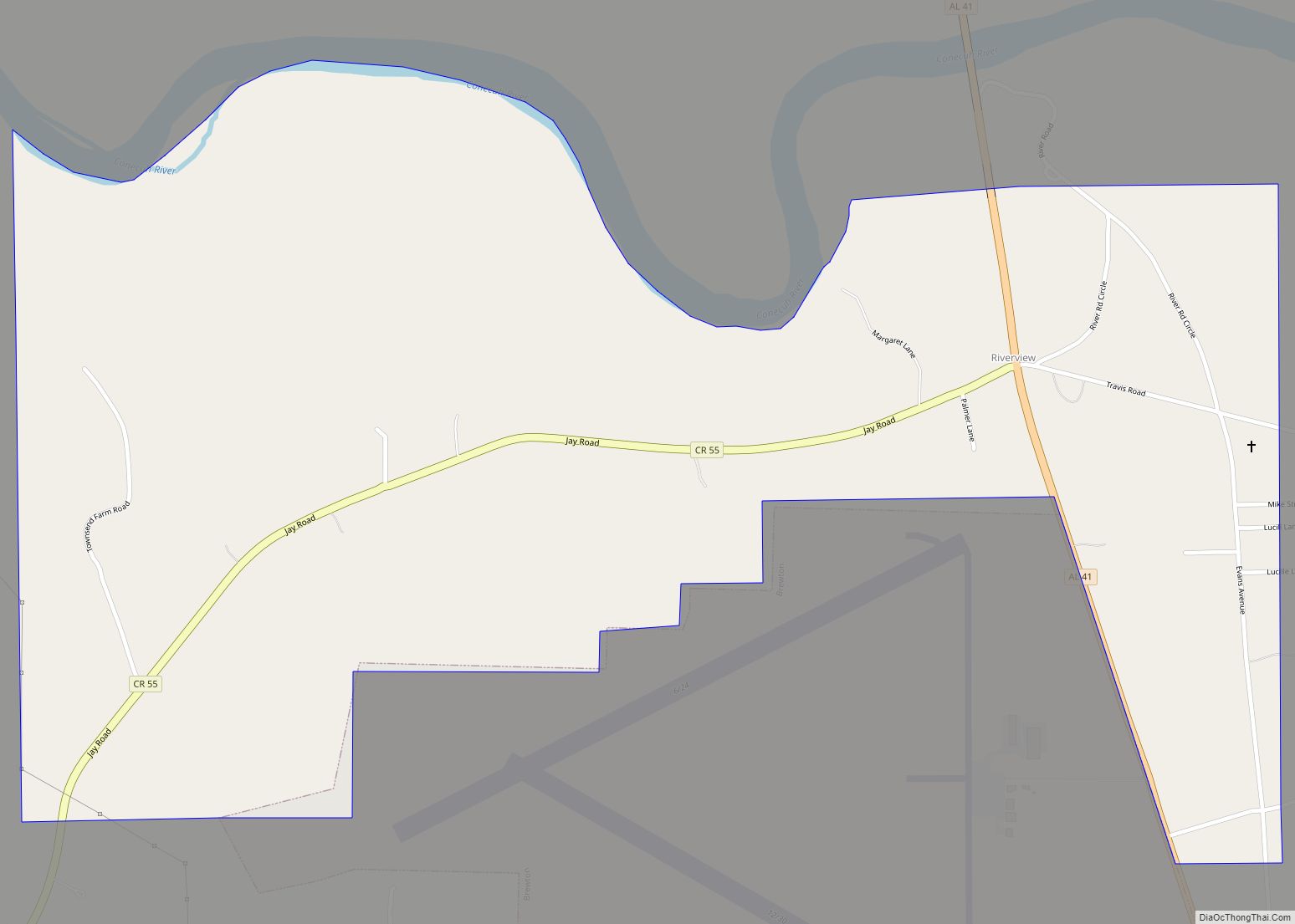
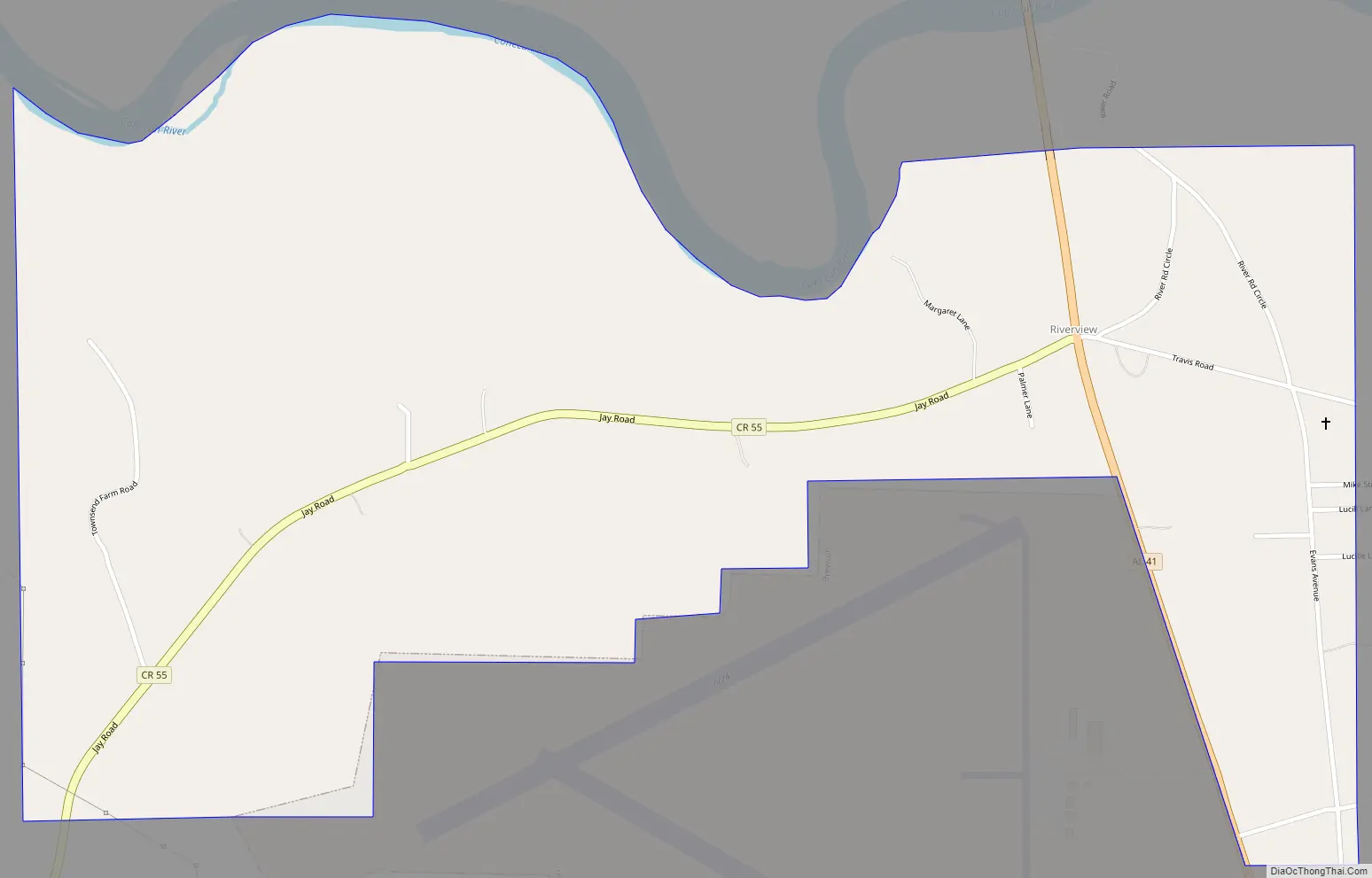
Riverview Road Map
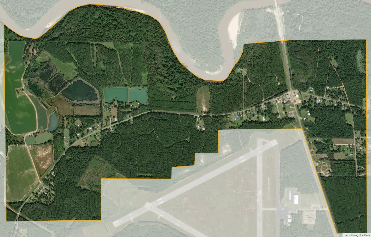
Riverview city Satellite Map
Geography
Riverview is located in south-central Escambia County at 31°3′31″N 87°3′24″W / 31.05861°N 87.05667°W / 31.05861; -87.05667 (31.058641, -87.056688), on the south side of the Conecuh River. It is 3 miles (5 km) south of the city of Brewton and is bordered to the south by the Brewton Municipal Airport. Alabama State Route 41 passes through the town, leading north into Brewton and south 4.5 miles (7.2 km) to the Florida state line. Milton, Florida, is 31 miles (50 km) to the south of Riverview.
According to the U.S. Census Bureau, Riverview has a total area of 1.5 square miles (3.8 km), of which 0.02 square miles (0.06 km), or 1.46%, is water.
See also
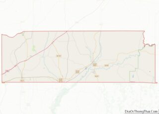
Map of Alabama State and its subdivision:- Autauga
- Baldwin
- Barbour
- Bibb
- Blount
- Bullock
- Butler
- Calhoun
- Chambers
- Cherokee
- Chilton
- Choctaw
- Clarke
- Clay
- Cleburne
- Coffee
- Colbert
- Conecuh
- Coosa
- Covington
- Crenshaw
- Cullman
- Dale
- Dallas
- De Kalb
- Elmore
- Escambia
- Etowah
- Fayette
- Franklin
- Geneva
- Greene
- Hale
- Henry
- Houston
- Jackson
- Jefferson
- Lamar
- Lauderdale
- Lawrence
- Lee
- Limestone
- Lowndes
- Macon
- Madison
- Marengo
- Marion
- Marshall
- Mobile
- Monroe
- Montgomery
- Morgan
- Perry
- Pickens
- Pike
- Randolph
- Russell
- Saint Clair
- Shelby
- Sumter
- Talladega
- Tallapoosa
- Tuscaloosa
- Walker
- Washington
- Wilcox
- Winston
- Alabama
- Alaska
- Arizona
- Arkansas
- California
- Colorado
- Connecticut
- Delaware
- District of Columbia
- Florida
- Georgia
- Hawaii
- Idaho
- Illinois
- Indiana
- Iowa
- Kansas
- Kentucky
- Louisiana
- Maine
- Maryland
- Massachusetts
- Michigan
- Minnesota
- Mississippi
- Missouri
- Montana
- Nebraska
- Nevada
- New Hampshire
- New Jersey
- New Mexico
- New York
- North Carolina
- North Dakota
- Ohio
- Oklahoma
- Oregon
- Pennsylvania
- Rhode Island
- South Carolina
- South Dakota
- Tennessee
- Texas
- Utah
- Vermont
- Virginia
- Washington
- West Virginia
- Wisconsin
- Wyoming