Robertsdale is a city in Baldwin County, Alabama, United States, which includes the community of Rosinton. At the 2020 census, the population was 6,708. It is part of the Daphne-Fairhope-Foley metropolitan area.
| Name: | Robertsdale city |
|---|---|
| LSAD Code: | 25 |
| LSAD Description: | city (suffix) |
| State: | Alabama |
| County: | Baldwin County |
| Incorporated: | 1921 |
| Elevation: | 148 ft (45 m) |
| Total Area: | 6.93 sq mi (17.94 km²) |
| Land Area: | 6.92 sq mi (17.91 km²) |
| Water Area: | 0.01 sq mi (0.03 km²) |
| Total Population: | 6,708 |
| Population Density: | 970.07/sq mi (374.56/km²) |
| ZIP code: | 36567, 36574 |
| Area code: | 251 |
| FIPS code: | 0165208 |
| GNISfeature ID: | 0125703 |
| Website: | www.robertsdale.org |
Online Interactive Map
Click on ![]() to view map in "full screen" mode.
to view map in "full screen" mode.
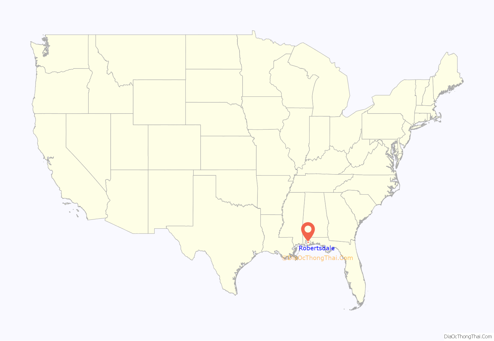
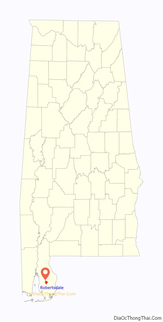
Robertsdale location map. Where is Robertsdale city?
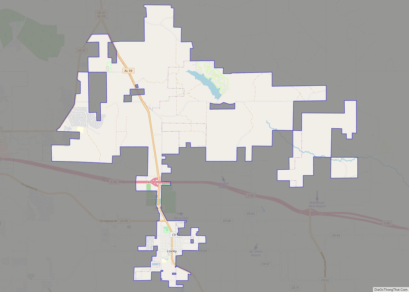
Robertsdale Road Map
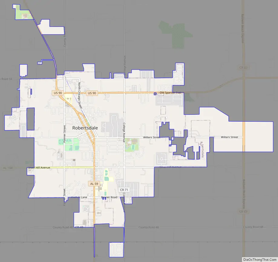
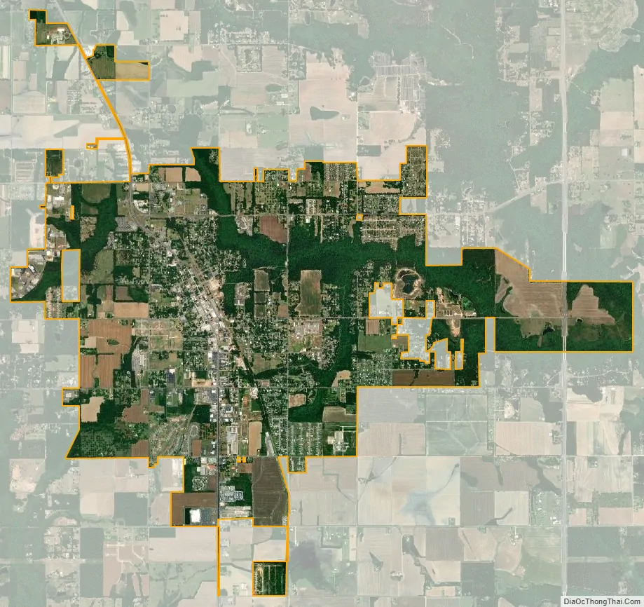
Robertsdale city Satellite Map
Geography
Robertsdale is located in southern Baldwin County at 30°33’16.034″ North, 87°42’20.038″ West (30.554454, -87.705566). U.S. Route 90 (Old Spanish Trail) passes through the city, leading west 24 miles (39 km) to Mobile and east 35 miles (56 km) to Pensacola, Florida.
According to the U.S. Census Bureau, the city has a total area of 5.5 square miles (14.2 km), of which 0.012 square miles (0.03 km), or 0.24%, is water.
See also
Map of Alabama State and its subdivision:- Autauga
- Baldwin
- Barbour
- Bibb
- Blount
- Bullock
- Butler
- Calhoun
- Chambers
- Cherokee
- Chilton
- Choctaw
- Clarke
- Clay
- Cleburne
- Coffee
- Colbert
- Conecuh
- Coosa
- Covington
- Crenshaw
- Cullman
- Dale
- Dallas
- De Kalb
- Elmore
- Escambia
- Etowah
- Fayette
- Franklin
- Geneva
- Greene
- Hale
- Henry
- Houston
- Jackson
- Jefferson
- Lamar
- Lauderdale
- Lawrence
- Lee
- Limestone
- Lowndes
- Macon
- Madison
- Marengo
- Marion
- Marshall
- Mobile
- Monroe
- Montgomery
- Morgan
- Perry
- Pickens
- Pike
- Randolph
- Russell
- Saint Clair
- Shelby
- Sumter
- Talladega
- Tallapoosa
- Tuscaloosa
- Walker
- Washington
- Wilcox
- Winston
- Alabama
- Alaska
- Arizona
- Arkansas
- California
- Colorado
- Connecticut
- Delaware
- District of Columbia
- Florida
- Georgia
- Hawaii
- Idaho
- Illinois
- Indiana
- Iowa
- Kansas
- Kentucky
- Louisiana
- Maine
- Maryland
- Massachusetts
- Michigan
- Minnesota
- Mississippi
- Missouri
- Montana
- Nebraska
- Nevada
- New Hampshire
- New Jersey
- New Mexico
- New York
- North Carolina
- North Dakota
- Ohio
- Oklahoma
- Oregon
- Pennsylvania
- Rhode Island
- South Carolina
- South Dakota
- Tennessee
- Texas
- Utah
- Vermont
- Virginia
- Washington
- West Virginia
- Wisconsin
- Wyoming