Smiths Station is a city in Lee County, Alabama. It is part of the Columbus metropolitan area, Georgia. At the time of the 2000 census, it was still a census-designated place (CDP), and its population was 6,756. The area that incorporated as Smiths Station in 2001 was much smaller than the CDP, and contained a population of 4,926 by the 2010 census. Smiths Station, known to locals as “Smiths”, is a bedroom community [1] of Columbus, Georgia and Phenix City, Alabama. Smiths Station High School has an enrollment of over 1,800 students and is the 11th-largest high school in the state.
| Name: | Smiths Station city |
|---|---|
| LSAD Code: | 25 |
| LSAD Description: | city (suffix) |
| State: | Alabama |
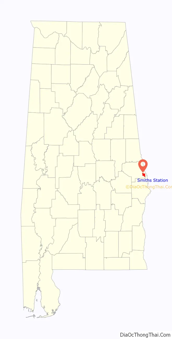
| County: | Lee County |
| Elevation: | 370 ft (113 m) |
| Land Area: | 8.24 sq mi (21.34 km²) |
| Water Area: | 0.03 sq mi (0.07 km²) |
| Population Density: | 653.40/sq mi (252.27/km²) |
| ZIP code: | 36877 |
| Area code: | 334 |
| FIPS code: | 0171190 |
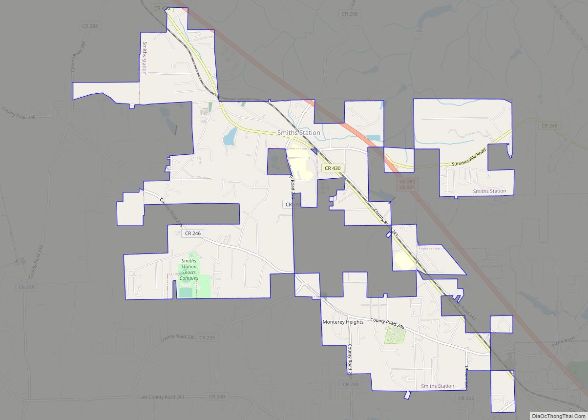
Online Interactive Map
Click on ![]() to view map in "full screen" mode.
to view map in "full screen" mode.
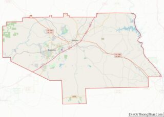
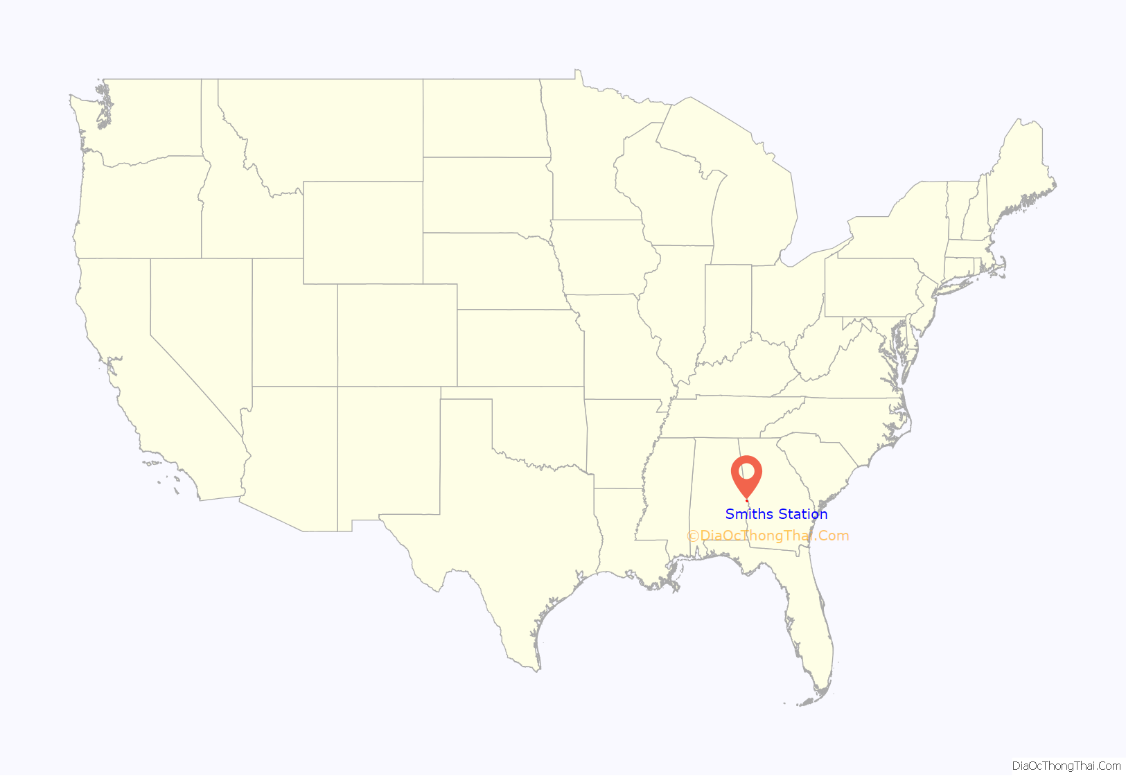
Smiths Station location map. Where is Smiths Station city?
History
Smiths Station was first settled in 1738. The Central of Georgia Railway was extended through the community from Columbus, Georgia to Opelika, Alabama in 1845. The depot was named for Broadus Smith, a prominent early settler who lived near the city’s current location.
Local legend contends that around 1960, local Jon Ergan grew tired of writing Smiths Station, so he took it upon himself to drop “Station” from the name of the community.
Smiths Station was officially incorporated on June 22, 2001, and is as of 2004 Alabama’s second newest city next to Center Point.
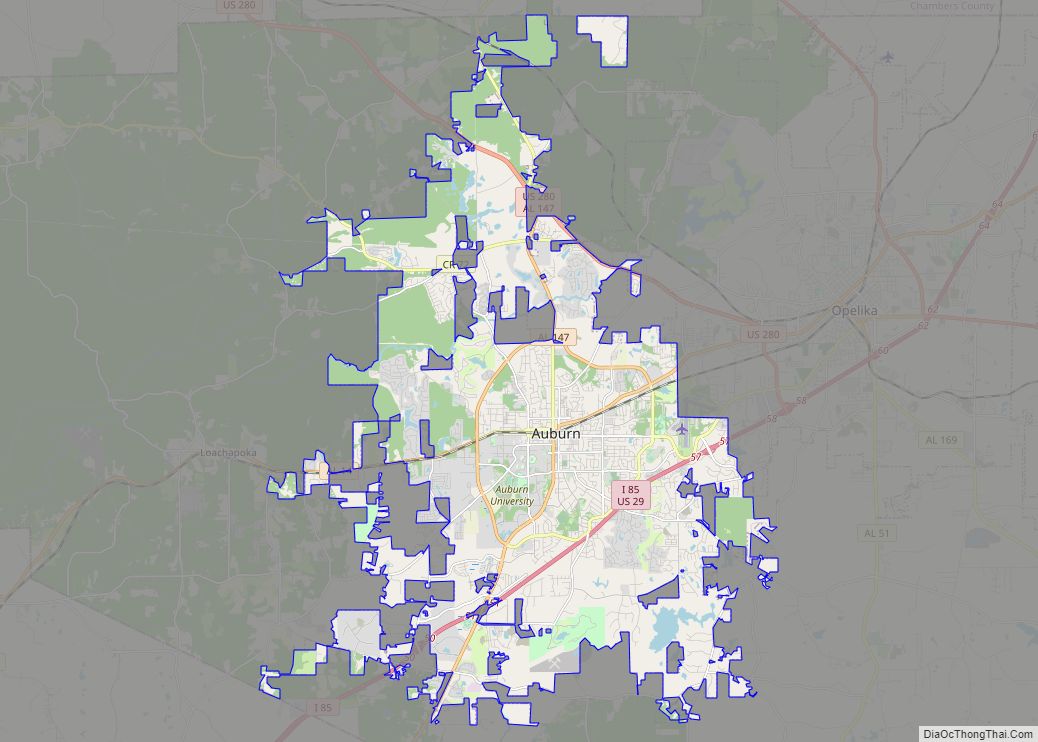
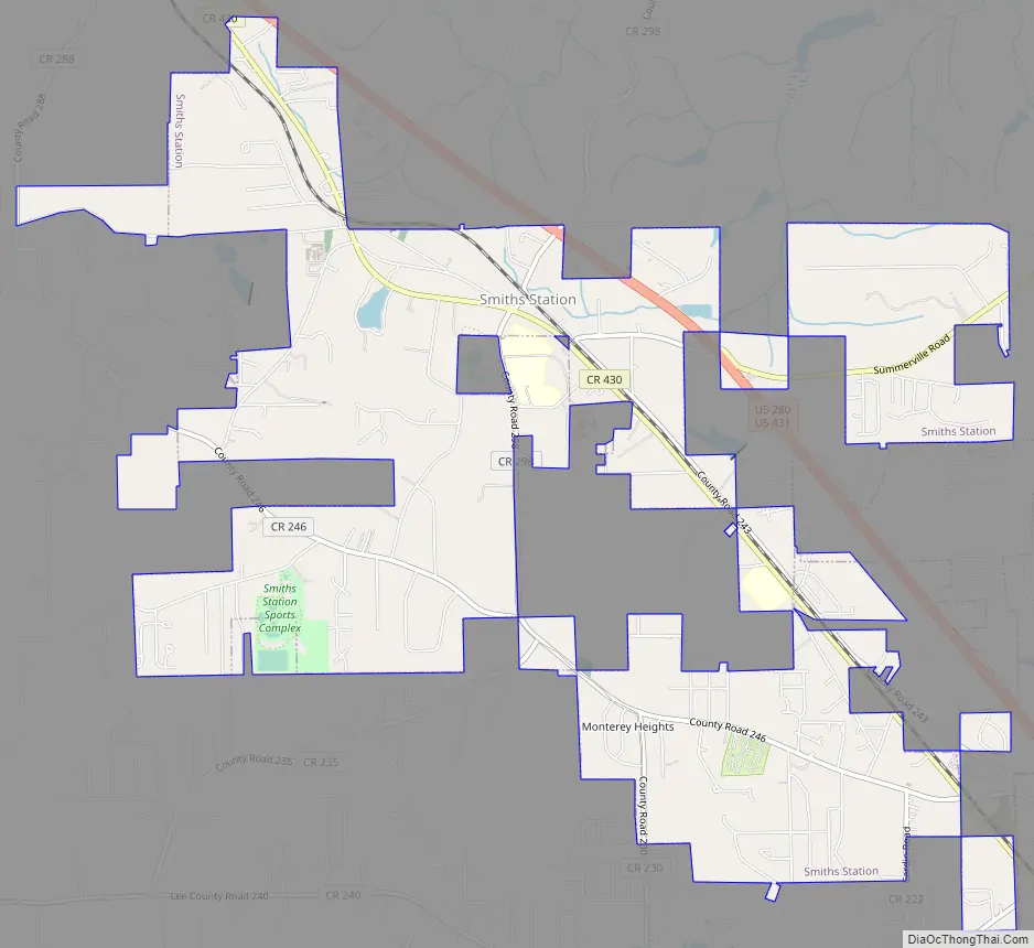
Smiths Station Road Map
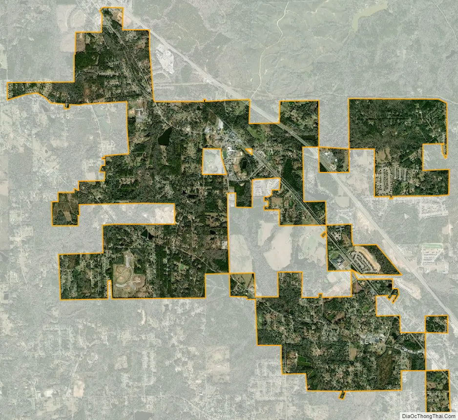
Smiths Station city Satellite Map
Geography
According to the U.S. Census Bureau, the CDP had a total area of 6.740 square miles (17.46 km), of which 6.713 square miles (17.39 km) is land and 0.027 square miles (0.070 km) is water.
The city is located in the southeastern part of Lee County, adjacent to Phenix City, which it borders to the southeast. U.S. Routes 280 and 431 run through the eastern part of the city, leading northwest 19 mi (31 km) to Opelika and southeast 8 mi (13 km) to Phenix City. Numerous county and local roads also run through the city as well, leading to more rural areas in Lee County.
Climate
The climate in this area is characterized by relatively high temperatures and evenly distributed precipitation throughout the year. According to the Köppen Climate Classification system, Smiths Station has a humid subtropical climate, abbreviated “Cfa” on climate maps.
On March 3, 2019, an EF4 tornado ripped through Smiths Station at high-end EF2 strength. Major damage occurred to homes, businesses and trees in the area.
See also
Map of Alabama State and its subdivision:- Autauga
- Baldwin
- Barbour
- Bibb
- Blount
- Bullock
- Butler
- Calhoun
- Chambers
- Cherokee
- Chilton
- Choctaw
- Clarke
- Clay
- Cleburne
- Coffee
- Colbert
- Conecuh
- Coosa
- Covington
- Crenshaw
- Cullman
- Dale
- Dallas
- De Kalb
- Elmore
- Escambia
- Etowah
- Fayette
- Franklin
- Geneva
- Greene
- Hale
- Henry
- Houston
- Jackson
- Jefferson
- Lamar
- Lauderdale
- Lawrence
- Lee
- Limestone
- Lowndes
- Macon
- Madison
- Marengo
- Marion
- Marshall
- Mobile
- Monroe
- Montgomery
- Morgan
- Perry
- Pickens
- Pike
- Randolph
- Russell
- Saint Clair
- Shelby
- Sumter
- Talladega
- Tallapoosa
- Tuscaloosa
- Walker
- Washington
- Wilcox
- Winston
- Alabama
- Alaska
- Arizona
- Arkansas
- California
- Colorado
- Connecticut
- Delaware
- District of Columbia
- Florida
- Georgia
- Hawaii
- Idaho
- Illinois
- Indiana
- Iowa
- Kansas
- Kentucky
- Louisiana
- Maine
- Maryland
- Massachusetts
- Michigan
- Minnesota
- Mississippi
- Missouri
- Montana
- Nebraska
- Nevada
- New Hampshire
- New Jersey
- New Mexico
- New York
- North Carolina
- North Dakota
- Ohio
- Oklahoma
- Oregon
- Pennsylvania
- Rhode Island
- South Carolina
- South Dakota
- Tennessee
- Texas
- Utah
- Vermont
- Virginia
- Washington
- West Virginia
- Wisconsin
- Wyoming