Talladega Springs is a town in Talladega County, Alabama, United States. At the 2020 census, the population was 144.
| Name: | Talladega Springs town |
|---|---|
| LSAD Code: | 43 |
| LSAD Description: | town (suffix) |
| State: | Alabama |
| County: | Talladega County |
| Elevation: | 430 ft (131 m) |
| Total Area: | 1.24 sq mi (3.22 km²) |
| Land Area: | 1.23 sq mi (3.19 km²) |
| Water Area: | 0.01 sq mi (0.03 km²) |
| Total Population: | 144 |
| Population Density: | 116.98/sq mi (45.18/km²) |
| FIPS code: | 0174616 |
| GNISfeature ID: | 0153640 |
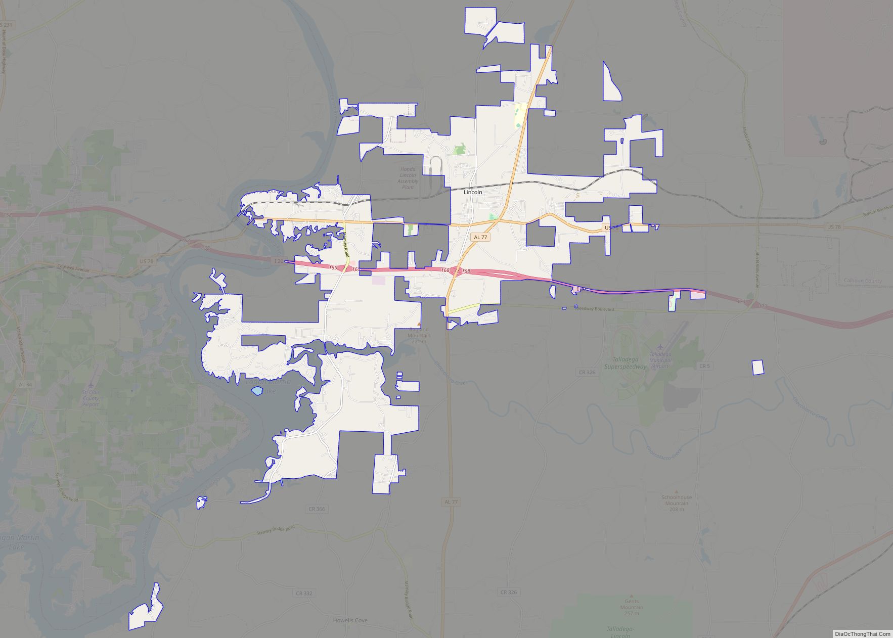
Online Interactive Map
Click on ![]() to view map in "full screen" mode.
to view map in "full screen" mode.
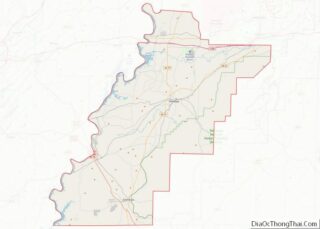
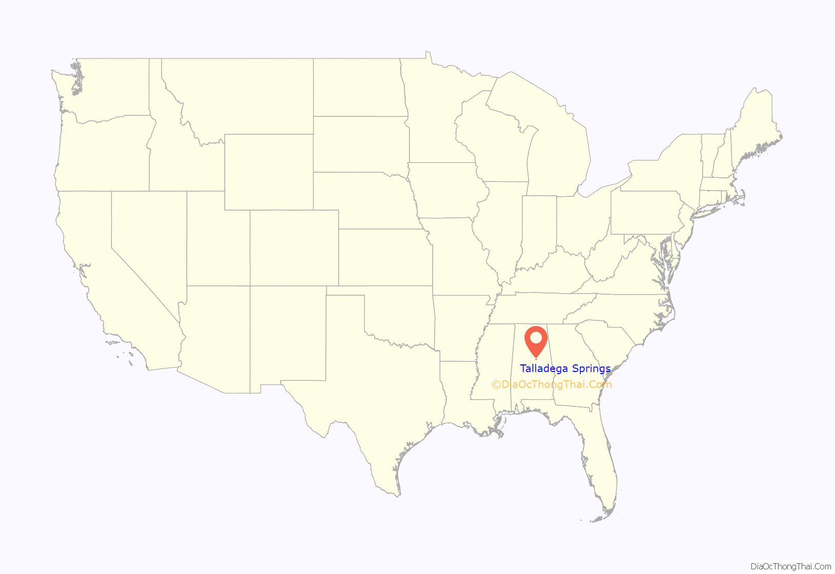
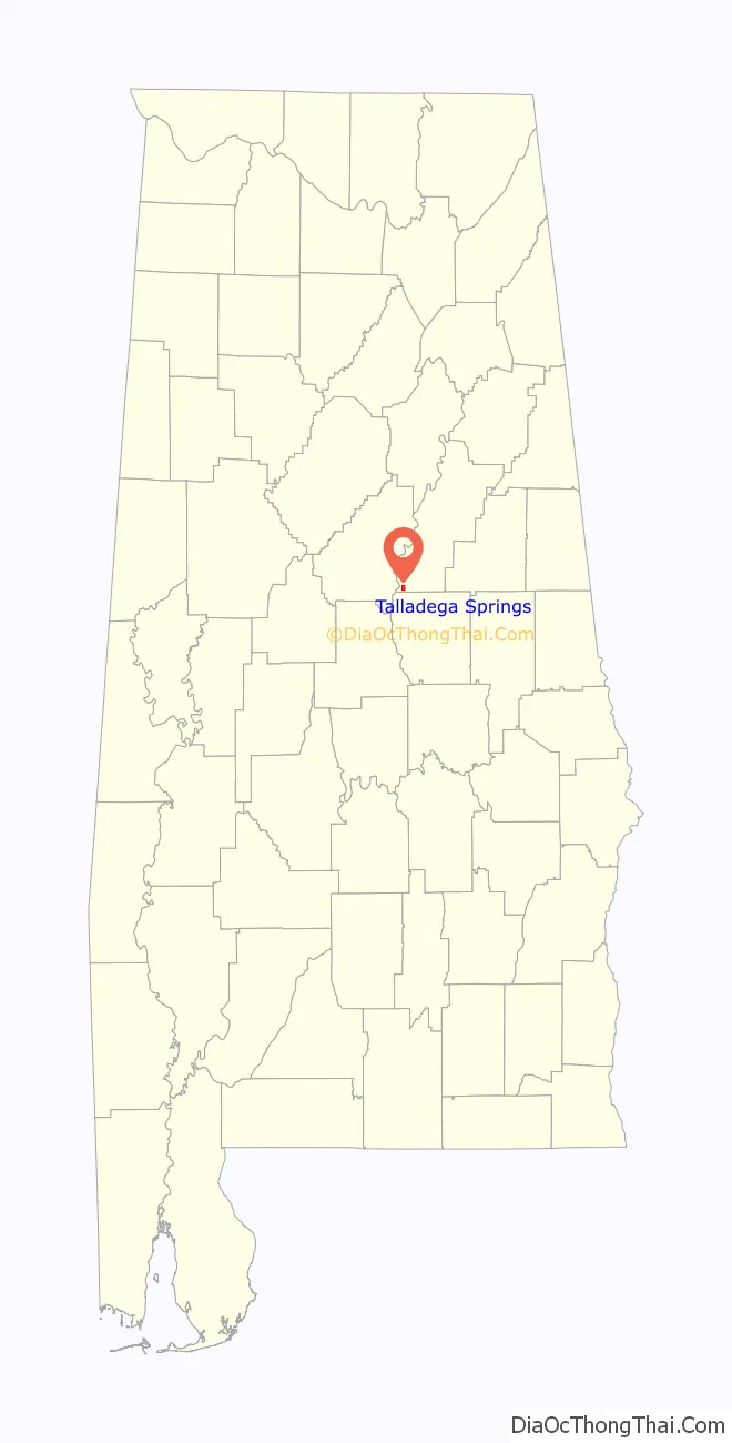
Talladega Springs location map. Where is Talladega Springs town?
History
Also known as Sulphur Springs the town became known as Talladega Springs in 1845 and was incorporated as such in 1913. The town was a resort where people came to drink the water which was rich in sulfur and believed to have medicinal properties. At one time the town had a hotel with a swimming pool, a bank, pharmacy, post office, town jail with two cells, a grist mill, a sawmill, and a Coca-Cola bottling plant. Trains brought travelers to the town several times daily. Tourism dwindled in the early 1900s and the town with it. Today there is little evidence of what Talladega Springs used to be. The foundations of the old hotel, a badly cracked cement pool, the walls of the hotel smokehouse, and the old jail are about all that remains.
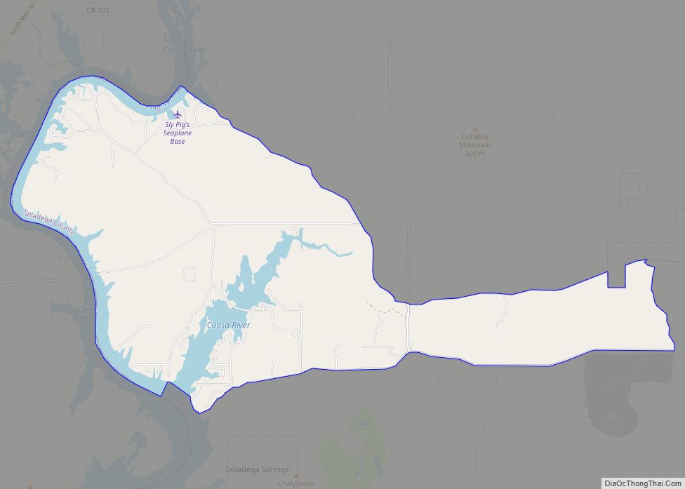
Before being submerged beneath Lay Lake, Fort Williams was located near Talladega Springs. It was used as an Indian Agency and supply depot during the Creek War.
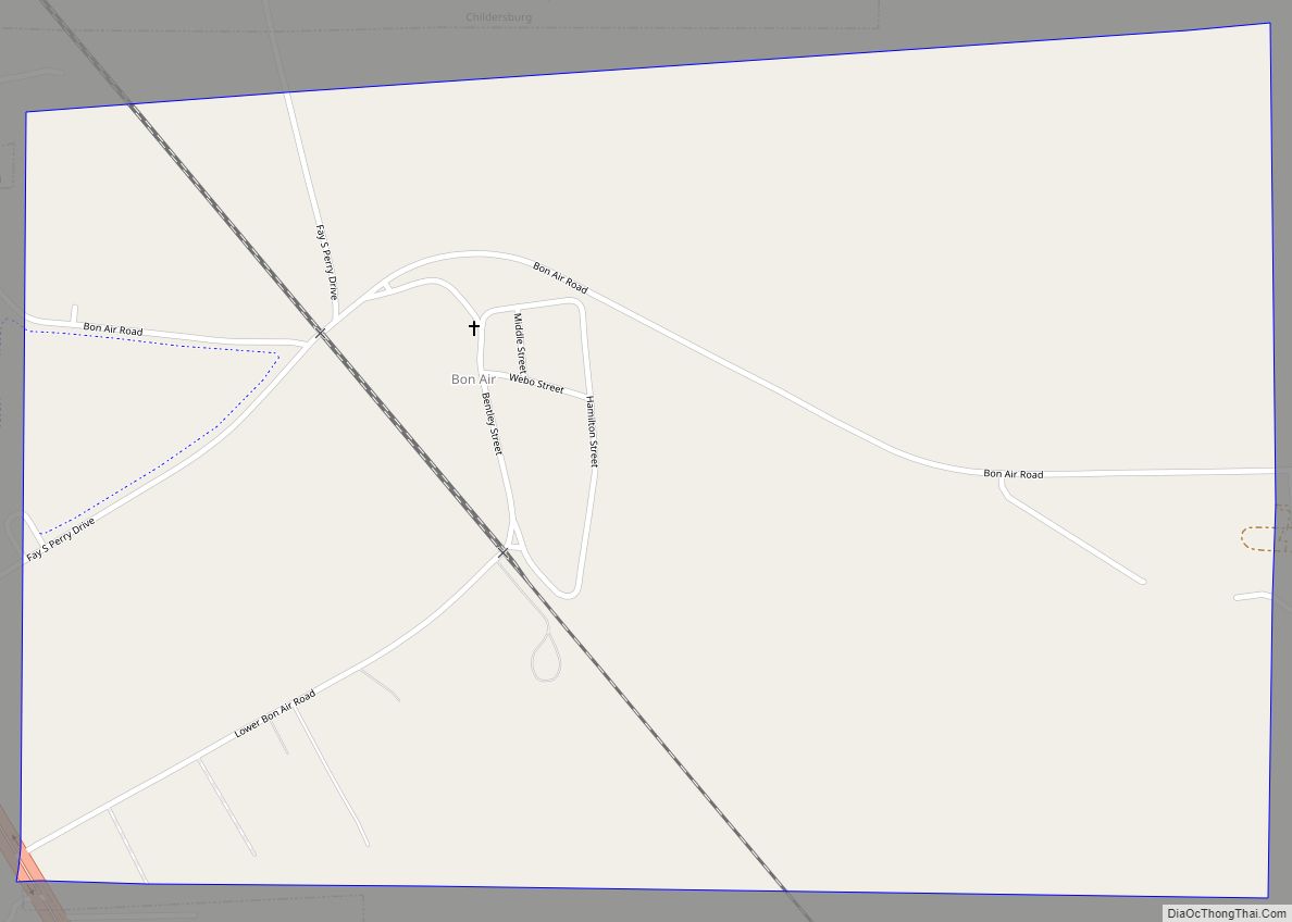
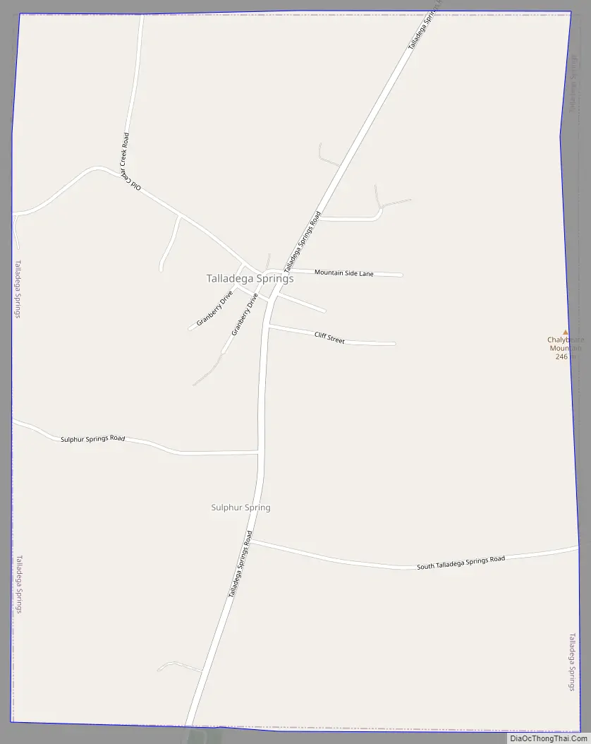
Talladega Springs Road Map
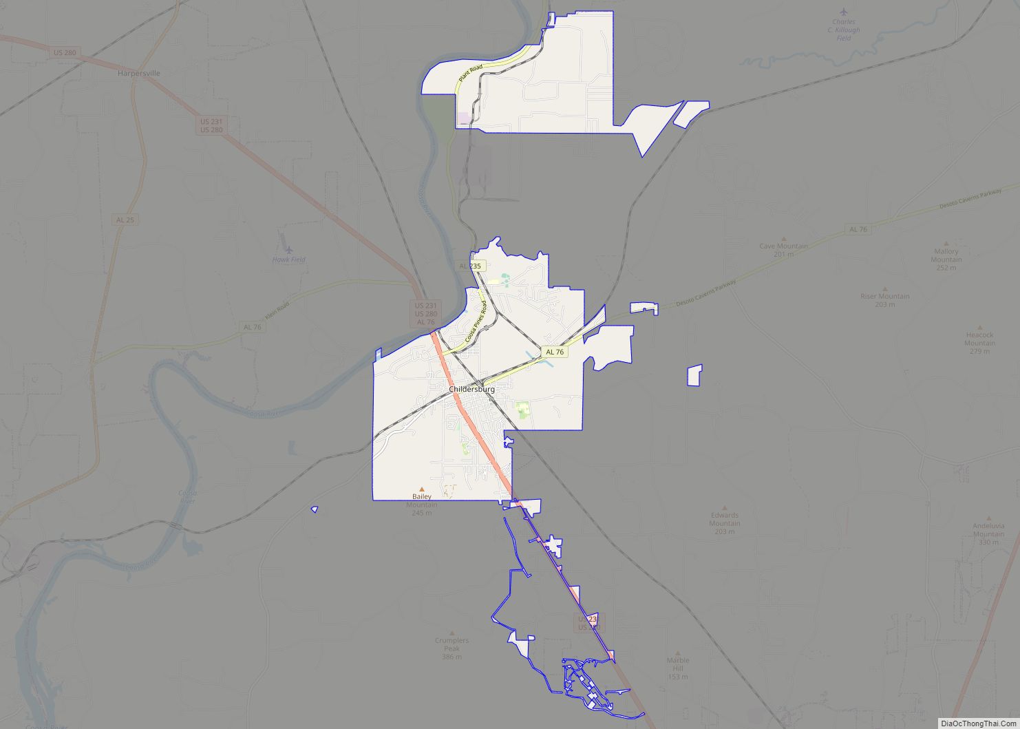
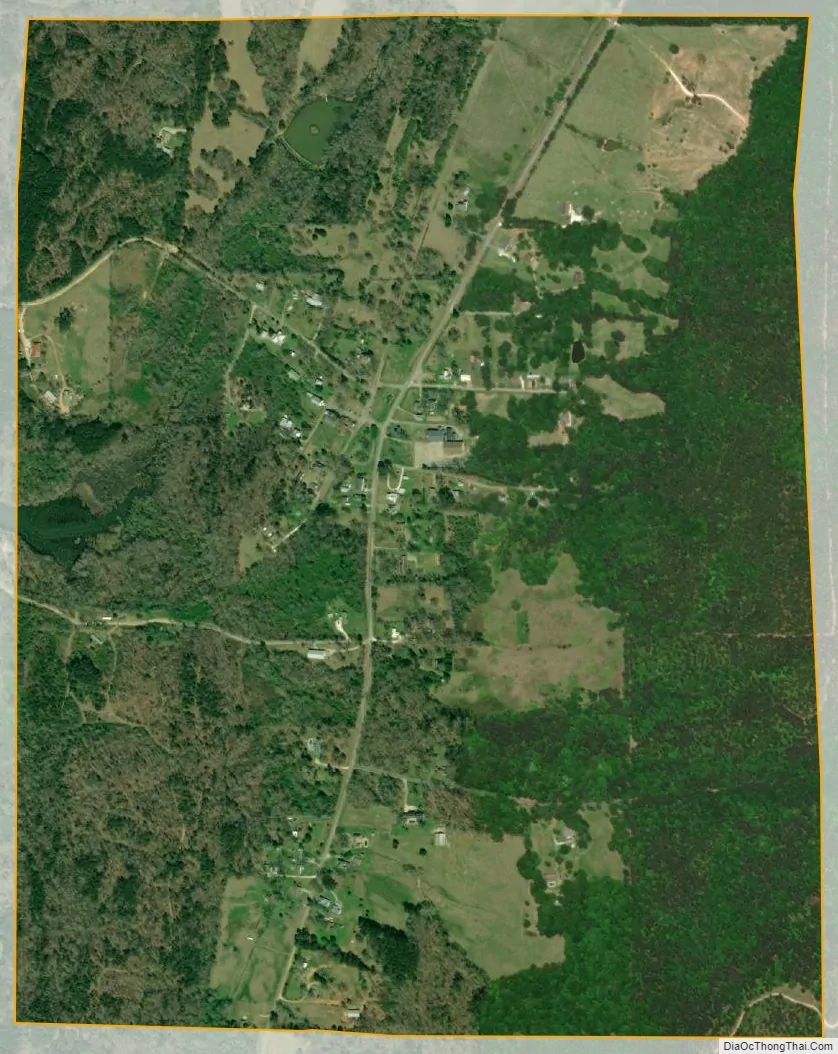
Talladega Springs city Satellite Map
Geography
Talladega Springs is located at 33°7′15″N 86°26′43″W / 33.12083°N 86.44528°W / 33.12083; -86.44528 (33.120713, -86.445266).
According to the U.S. Census Bureau, the town has a total area of 1.2 square miles (3.2 km), of which 0.012 square miles (0.03 km), or 0.90%, is water.
See also
Map of Alabama State and its subdivision:- Autauga
- Baldwin
- Barbour
- Bibb
- Blount
- Bullock
- Butler
- Calhoun
- Chambers
- Cherokee
- Chilton
- Choctaw
- Clarke
- Clay
- Cleburne
- Coffee
- Colbert
- Conecuh
- Coosa
- Covington
- Crenshaw
- Cullman
- Dale
- Dallas
- De Kalb
- Elmore
- Escambia
- Etowah
- Fayette
- Franklin
- Geneva
- Greene
- Hale
- Henry
- Houston
- Jackson
- Jefferson
- Lamar
- Lauderdale
- Lawrence
- Lee
- Limestone
- Lowndes
- Macon
- Madison
- Marengo
- Marion
- Marshall
- Mobile
- Monroe
- Montgomery
- Morgan
- Perry
- Pickens
- Pike
- Randolph
- Russell
- Saint Clair
- Shelby
- Sumter
- Talladega
- Tallapoosa
- Tuscaloosa
- Walker
- Washington
- Wilcox
- Winston
- Alabama
- Alaska
- Arizona
- Arkansas
- California
- Colorado
- Connecticut
- Delaware
- District of Columbia
- Florida
- Georgia
- Hawaii
- Idaho
- Illinois
- Indiana
- Iowa
- Kansas
- Kentucky
- Louisiana
- Maine
- Maryland
- Massachusetts
- Michigan
- Minnesota
- Mississippi
- Missouri
- Montana
- Nebraska
- Nevada
- New Hampshire
- New Jersey
- New Mexico
- New York
- North Carolina
- North Dakota
- Ohio
- Oklahoma
- Oregon
- Pennsylvania
- Rhode Island
- South Carolina
- South Dakota
- Tennessee
- Texas
- Utah
- Vermont
- Virginia
- Washington
- West Virginia
- Wisconsin
- Wyoming