Triana (/traɪˈænə/) is a town in Madison County, Alabama, United States, and is included in the Huntsville-Decatur Combined Statistical Area. As of the 2020 census, the population of the town was 2,890, up from 496 at the 2010 census.
| Name: | Triana town |
|---|---|
| LSAD Code: | 43 |
| LSAD Description: | town (suffix) |
| State: | Alabama |
| County: | Madison County |
| Incorporated: | November 13, 1819 |
| Elevation: | 600 ft (200 m) |
| Total Area: | 2.82 sq mi (7.31 km²) |
| Land Area: | 2.80 sq mi (7.26 km²) |
| Water Area: | 0.02 sq mi (0.06 km²) |
| Total Population: | 2,890 |
| Population Density: | 1,031.7/sq mi (398.34/km²) |
| ZIP code: | 35758 |
| Area code: | 256 |
| FIPS code: | 0176824 |
| GNISfeature ID: | 2406753 |
| Website: | www.townoftriana.com |
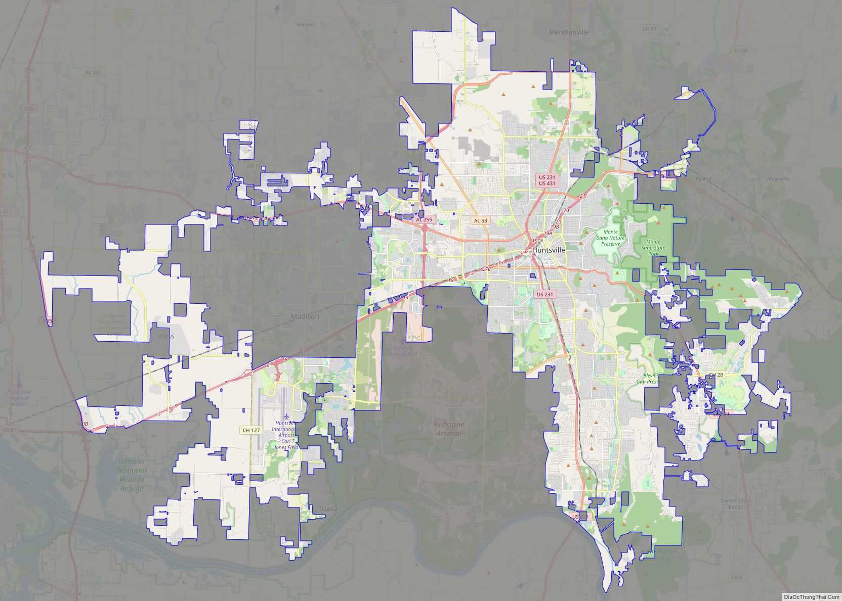
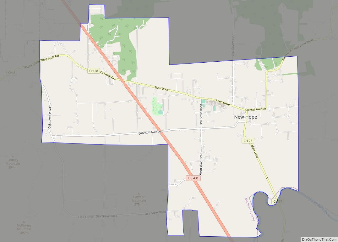
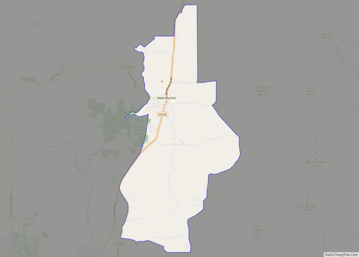
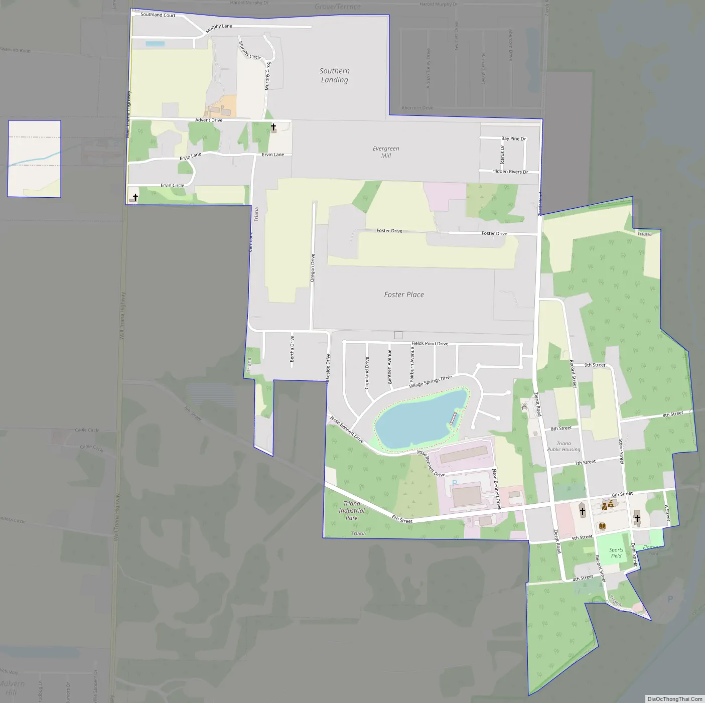
Online Interactive Map
Click on ![]() to view map in "full screen" mode.
to view map in "full screen" mode.
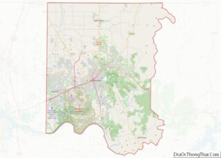
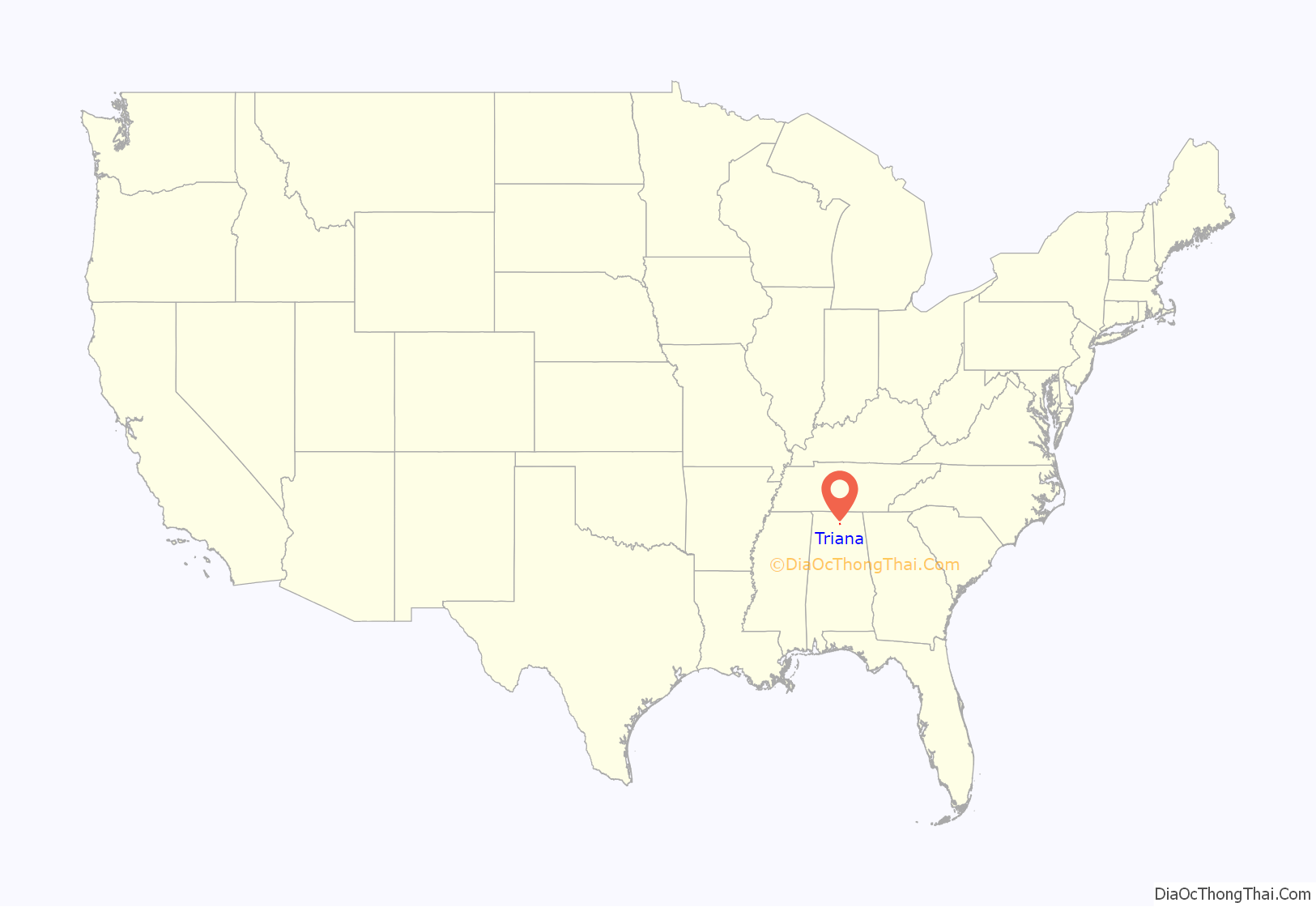
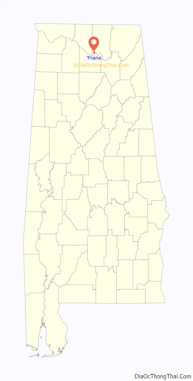
Triana location map. Where is Triana town?
History
Triana was originally incorporated on November 13, 1819, as the second town in Madison County. It purportedly was named after Rodrigo de Triana, the crewman who first sighted land while sailing with Christopher Columbus on their first voyage to the Americas. For a time in the 19th century, it was a thriving riverport on the Tennessee River prior to the construction of the railroads. Its incorporation later lapsed and it was reincorporated on July 13, 1964, with the help of Clyde Foster, who later became Triana’s mayor. Until the 2020 census, it was the only incorporated community in Madison County with a majority black population.
Triana Road Map
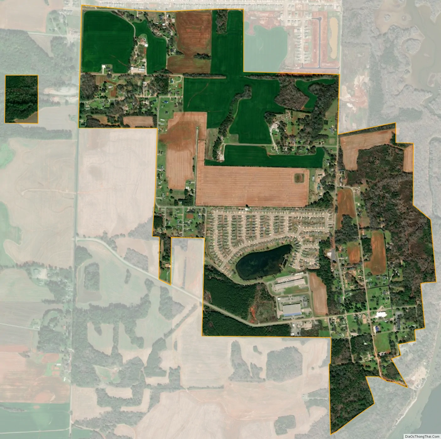
Triana city Satellite Map
Geography
Triana is located in southwestern Madison County at 34°35′15″N 86°44′11″W / 34.58750°N 86.73639°W / 34.58750; -86.73639 (34.587456, -86.736251), on a bluff on the north bank of the Tennessee River. It is 16 miles (26 km) southwest of the center of Huntsville.
According to the U.S. Census Bureau, the town has a total area of 2.82 square miles (7.31 km), of which 2.80 square miles (7.26 km) are land and 0.02 square miles (0.06 km), or 0.80%, are water.
See also
Map of Alabama State and its subdivision:- Autauga
- Baldwin
- Barbour
- Bibb
- Blount
- Bullock
- Butler
- Calhoun
- Chambers
- Cherokee
- Chilton
- Choctaw
- Clarke
- Clay
- Cleburne
- Coffee
- Colbert
- Conecuh
- Coosa
- Covington
- Crenshaw
- Cullman
- Dale
- Dallas
- De Kalb
- Elmore
- Escambia
- Etowah
- Fayette
- Franklin
- Geneva
- Greene
- Hale
- Henry
- Houston
- Jackson
- Jefferson
- Lamar
- Lauderdale
- Lawrence
- Lee
- Limestone
- Lowndes
- Macon
- Madison
- Marengo
- Marion
- Marshall
- Mobile
- Monroe
- Montgomery
- Morgan
- Perry
- Pickens
- Pike
- Randolph
- Russell
- Saint Clair
- Shelby
- Sumter
- Talladega
- Tallapoosa
- Tuscaloosa
- Walker
- Washington
- Wilcox
- Winston
- Alabama
- Alaska
- Arizona
- Arkansas
- California
- Colorado
- Connecticut
- Delaware
- District of Columbia
- Florida
- Georgia
- Hawaii
- Idaho
- Illinois
- Indiana
- Iowa
- Kansas
- Kentucky
- Louisiana
- Maine
- Maryland
- Massachusetts
- Michigan
- Minnesota
- Mississippi
- Missouri
- Montana
- Nebraska
- Nevada
- New Hampshire
- New Jersey
- New Mexico
- New York
- North Carolina
- North Dakota
- Ohio
- Oklahoma
- Oregon
- Pennsylvania
- Rhode Island
- South Carolina
- South Dakota
- Tennessee
- Texas
- Utah
- Vermont
- Virginia
- Washington
- West Virginia
- Wisconsin
- Wyoming