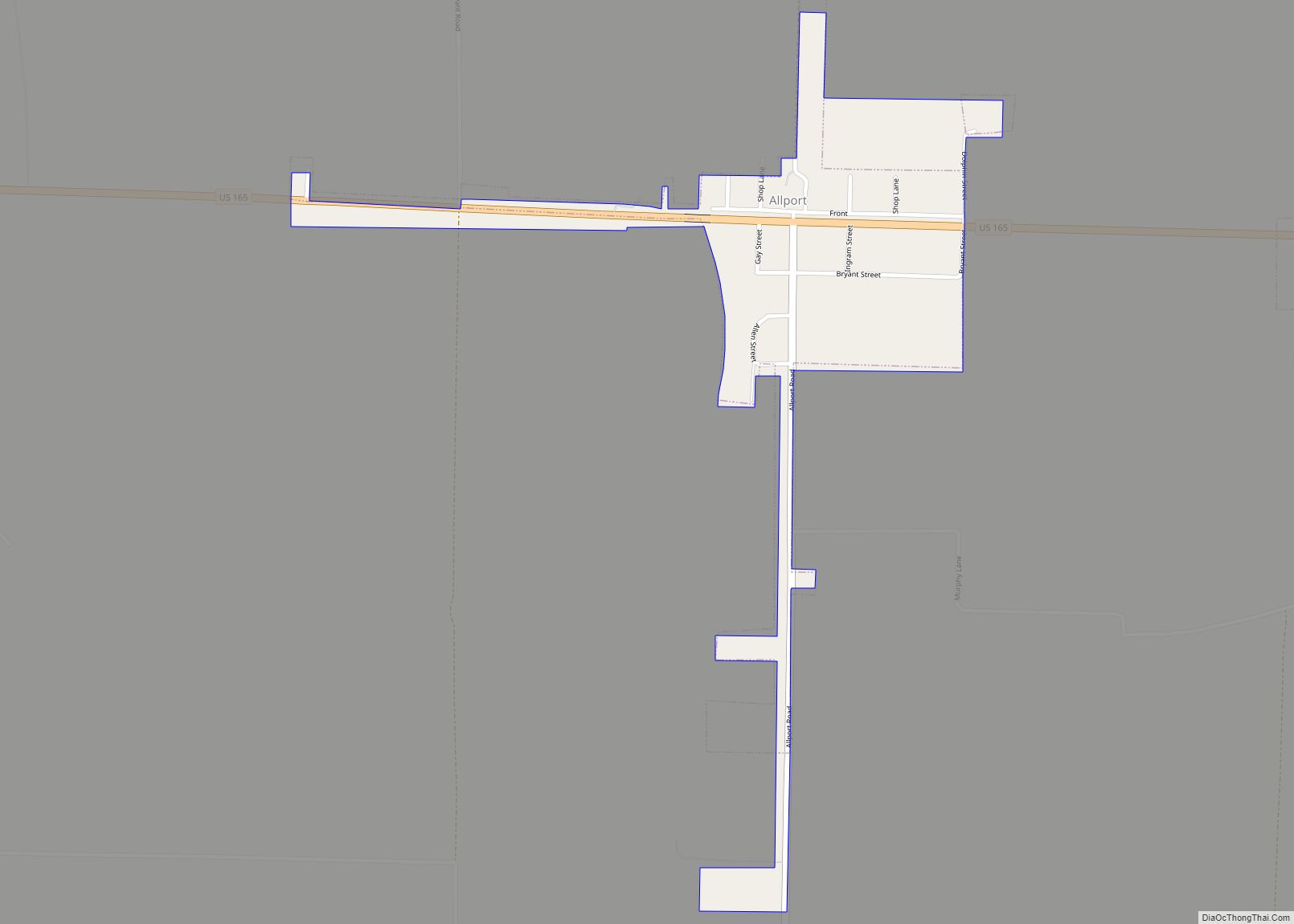
Allport is a town in Lonoke County, Arkansas, United States. Although a black enclave in the largely-white Lonoke County since the 1870s, the town did not incorporate until 1967 in order to receive funding for municipal services. Located within Central Arkansas along Highway 165, the community’s economy is strongly tied to agriculture. The population was 115 at the 2010 Census.
| Name: | Allport town |
|---|---|
| LSAD Code: | 43 |
| LSAD Description: | town (suffix) |
| State: | Arkansas |
| County: | Lonoke County |
| Elevation: | 203 ft (62 m) |
| Total Area: | 0.21 sq mi (0.54 km²) |
| Land Area: | 0.21 sq mi (0.54 km²) |
| Water Area: | 0.00 sq mi (0.00 km²) |
| Total Population: | 86 |
| Population Density: | 413.46/sq mi (159.76/km²) |
| ZIP code: | 72046 |
| Area code: | 501 |
| FIPS code: | 0500940 |
| GNISfeature ID: | 0045838 |
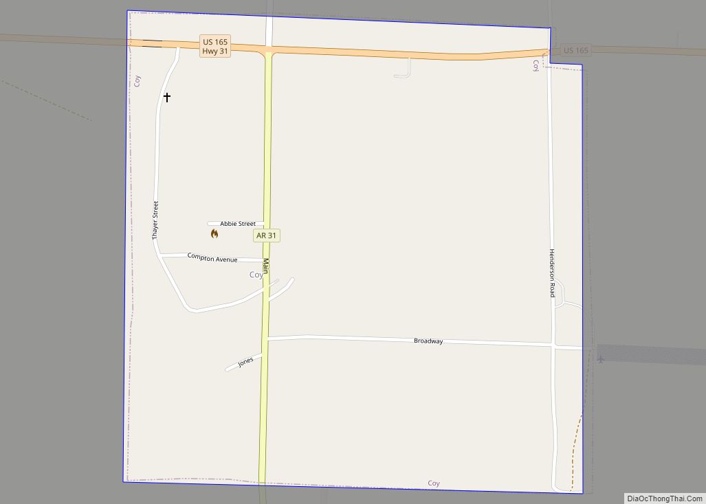
Online Interactive Map
Click on ![]() to view map in "full screen" mode.
to view map in "full screen" mode.
Allport location map. Where is Allport town?


History
Allport was incorporated in 1967 and its first Mayor was an African-American man and World War II veteran named Johnny E. Gay. Leading the movement to incorporate, he made several needed improvements to the town upon his election. The Allport community set aside a special day of celebration named Johnny E. Gay Day.
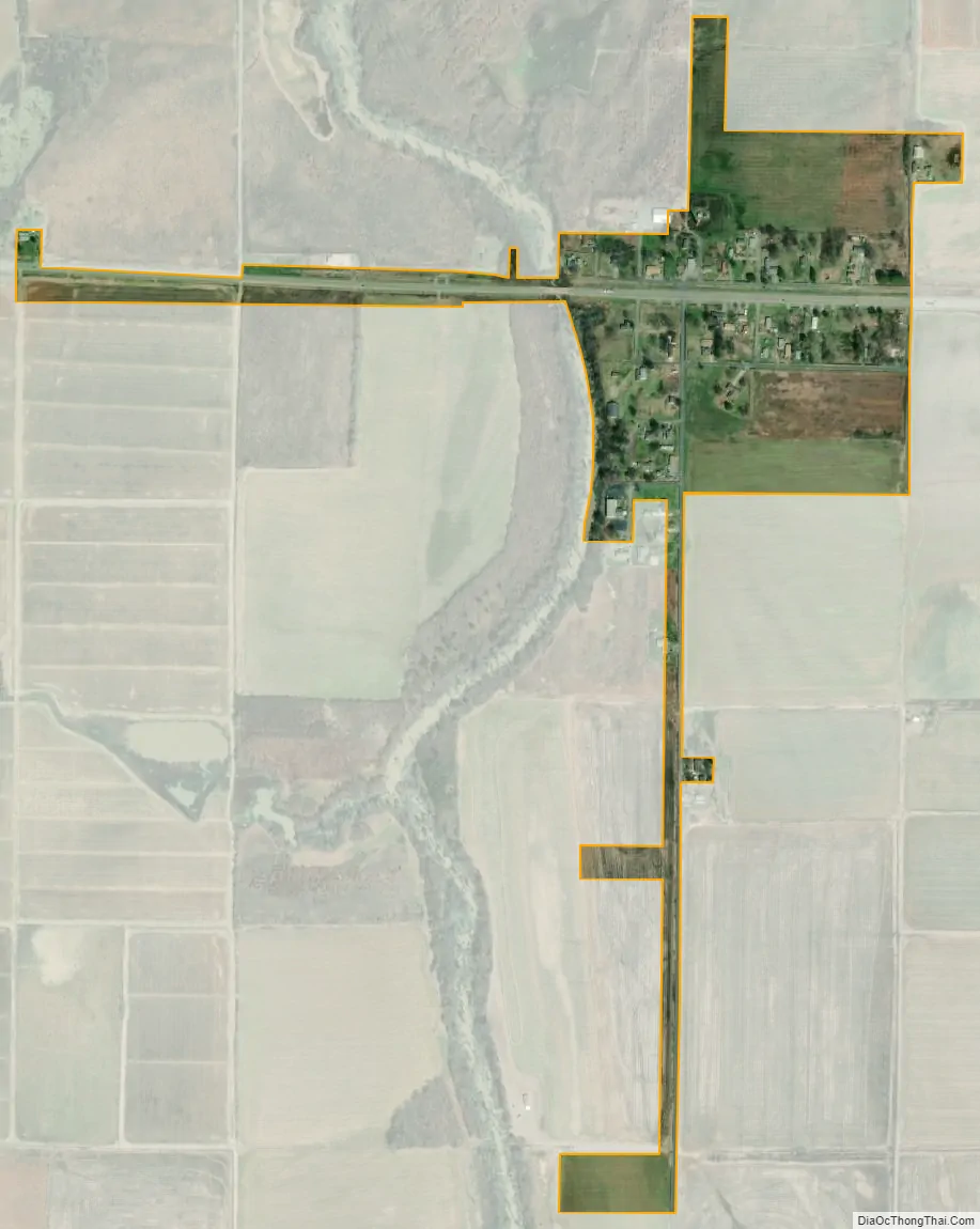
Allport Road Map

Allport city Satellite Map
Geography
Allport is located at 34°32′22″N 91°47′6″W / 34.53944°N 91.78500°W / 34.53944; -91.78500 (34.539548, -91.784977).
According to the United States Census Bureau, the town has a total area of 0.5 km (0.2 mi), all land.
See also
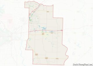
Map of Arkansas State and its subdivision:- Arkansas
- Ashley
- Baxter
- Benton
- Boone
- Bradley
- Calhoun
- Carroll
- Chicot
- Clark
- Clay
- Cleburne
- Cleveland
- Columbia
- Conway
- Craighead
- Crawford
- Crittenden
- Cross
- Dallas
- Desha
- Drew
- Faulkner
- Franklin
- Fulton
- Garland
- Grant
- Greene
- Hempstead
- Hot Spring
- Howard
- Independence
- Izard
- Jackson
- Jefferson
- Johnson
- Lafayette
- Lawrence
- Lee
- Lincoln
- Little River
- Logan
- Lonoke
- Madison
- Marion
- Miller
- Mississippi
- Monroe
- Montgomery
- Nevada
- Newton
- Ouachita
- Perry
- Phillips
- Pike
- Poinsett
- Polk
- Pope
- Prairie
- Pulaski
- Randolph
- Saint Francis
- Saline
- Scott
- Searcy
- Sebastian
- Sevier
- Sharp
- Stone
- Union
- Van Buren
- Washington
- White
- Woodruff
- Yell
- Alabama
- Alaska
- Arizona
- Arkansas
- California
- Colorado
- Connecticut
- Delaware
- District of Columbia
- Florida
- Georgia
- Hawaii
- Idaho
- Illinois
- Indiana
- Iowa
- Kansas
- Kentucky
- Louisiana
- Maine
- Maryland
- Massachusetts
- Michigan
- Minnesota
- Mississippi
- Missouri
- Montana
- Nebraska
- Nevada
- New Hampshire
- New Jersey
- New Mexico
- New York
- North Carolina
- North Dakota
- Ohio
- Oklahoma
- Oregon
- Pennsylvania
- Rhode Island
- South Carolina
- South Dakota
- Tennessee
- Texas
- Utah
- Vermont
- Virginia
- Washington
- West Virginia
- Wisconsin
- Wyoming