Mammoth Spring is a city in Fulton County, Arkansas. The population was 929 at the time of the 2020 census and is home to Mammoth Spring, one of the not largest natural springs in the world, renowned for its trout fishing.
| Name: | Mammoth Spring city |
|---|---|
| LSAD Code: | 25 |
| LSAD Description: | city (suffix) |
| State: | Arkansas |
| County: | Fulton County |
| Elevation: | 568 ft (173 m) |
| Total Area: | 1.34 sq mi (3.47 km²) |
| Land Area: | 1.29 sq mi (3.35 km²) |
| Water Area: | 0.05 sq mi (0.12 km²) |
| Total Population: | 929 |
| Population Density: | 719.04/sq mi (277.68/km²) |
| ZIP code: | 72554 |
| Area code: | 870 |
| FIPS code: | 0543670 |
| GNISfeature ID: | 2405002 |
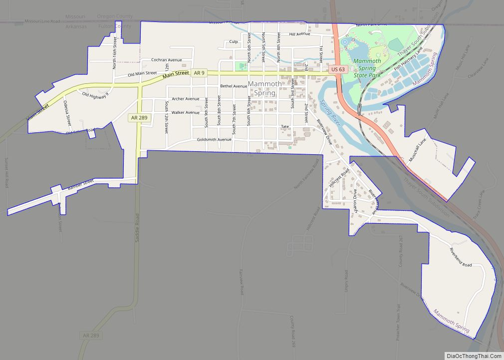
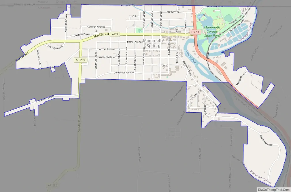
Online Interactive Map
Click on ![]() to view map in "full screen" mode.
to view map in "full screen" mode.
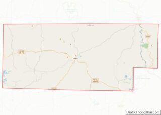
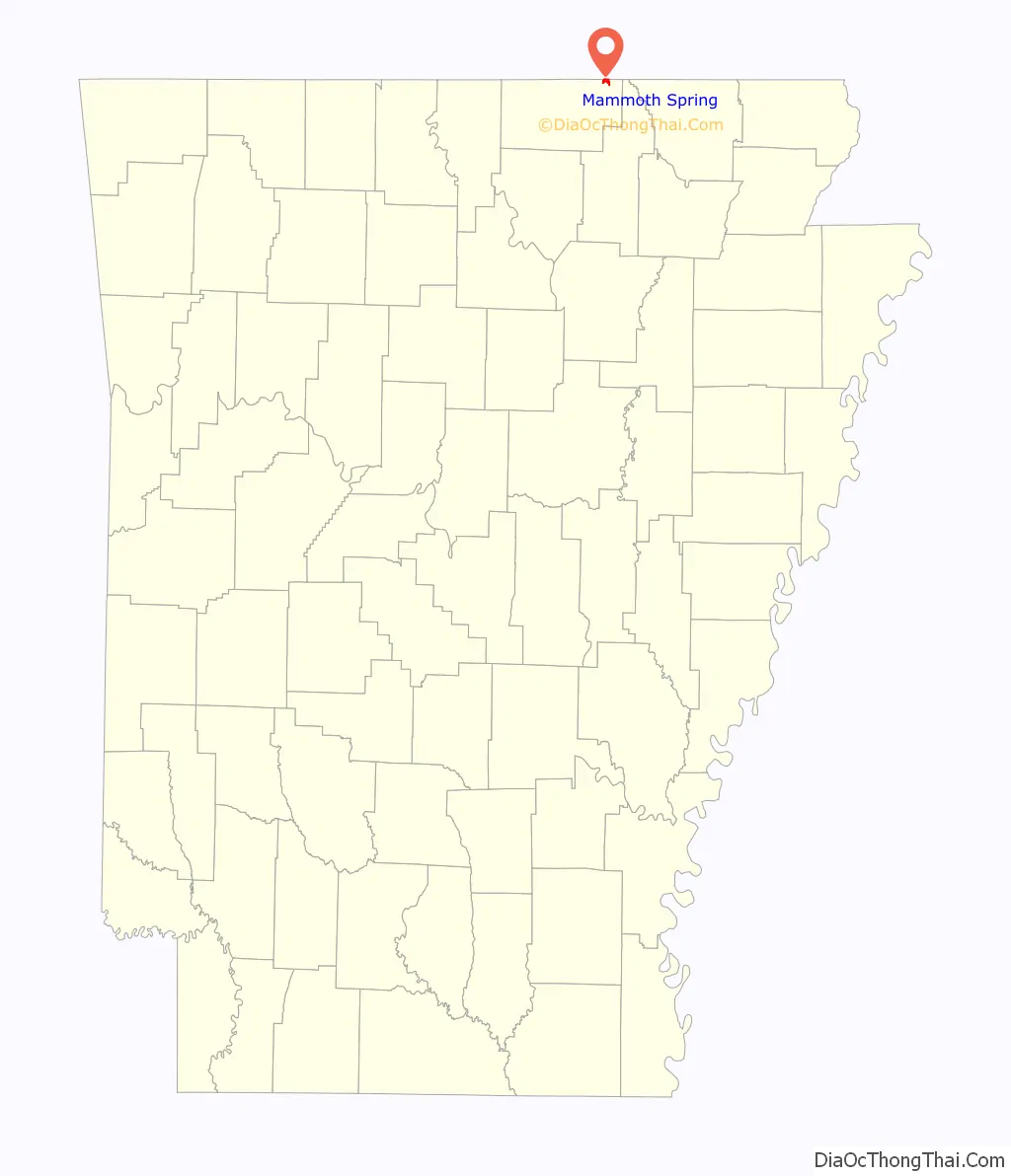
Mammoth Spring location map. Where is Mammoth Spring city?

History
In 1890, Mammoth Spring was promoted to Memphis investors as an excellent site for construction of major manufacturing operations. At that time the town was home to an upscale resort hotel, The Nettleton, said to rival those in Eureka Springs, Ark.. The Nettleton was built by Memphis millionaire Napoleon Hill and operated from 1899 to 1932, when it was destroyed by fire.
Mammoth Spring Road Map
Mammoth Spring city Satellite Map

Geography
According to the United States Census Bureau, the city has a total area of 1.4 square miles (3.6 km), of which 1.4 square miles (3.6 km) is land and 0.04 square miles (0.10 km) (2.86%) is water.
See also
Map of Arkansas State and its subdivision:- Arkansas
- Ashley
- Baxter
- Benton
- Boone
- Bradley
- Calhoun
- Carroll
- Chicot
- Clark
- Clay
- Cleburne
- Cleveland
- Columbia
- Conway
- Craighead
- Crawford
- Crittenden
- Cross
- Dallas
- Desha
- Drew
- Faulkner
- Franklin
- Fulton
- Garland
- Grant
- Greene
- Hempstead
- Hot Spring
- Howard
- Independence
- Izard
- Jackson
- Jefferson
- Johnson
- Lafayette
- Lawrence
- Lee
- Lincoln
- Little River
- Logan
- Lonoke
- Madison
- Marion
- Miller
- Mississippi
- Monroe
- Montgomery
- Nevada
- Newton
- Ouachita
- Perry
- Phillips
- Pike
- Poinsett
- Polk
- Pope
- Prairie
- Pulaski
- Randolph
- Saint Francis
- Saline
- Scott
- Searcy
- Sebastian
- Sevier
- Sharp
- Stone
- Union
- Van Buren
- Washington
- White
- Woodruff
- Yell
- Alabama
- Alaska
- Arizona
- Arkansas
- California
- Colorado
- Connecticut
- Delaware
- District of Columbia
- Florida
- Georgia
- Hawaii
- Idaho
- Illinois
- Indiana
- Iowa
- Kansas
- Kentucky
- Louisiana
- Maine
- Maryland
- Massachusetts
- Michigan
- Minnesota
- Mississippi
- Missouri
- Montana
- Nebraska
- Nevada
- New Hampshire
- New Jersey
- New Mexico
- New York
- North Carolina
- North Dakota
- Ohio
- Oklahoma
- Oregon
- Pennsylvania
- Rhode Island
- South Carolina
- South Dakota
- Tennessee
- Texas
- Utah
- Vermont
- Virginia
- Washington
- West Virginia
- Wisconsin
- Wyoming