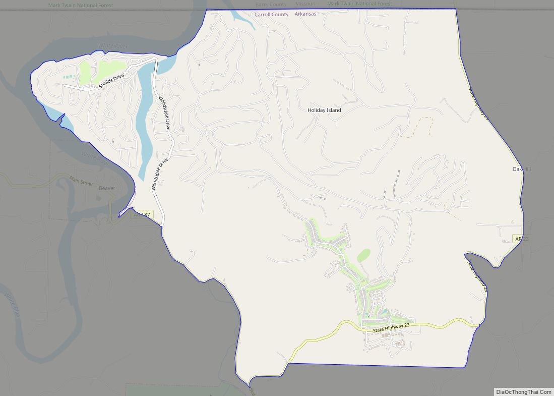
Holiday Island is a 4,500-acre planned retirement and vacation community in Carroll County, Arkansas, United States. Formerly an unincorporated community and census-designated place (CDP), they voted to incorporate in November 2020. As of the 2020 census, the population was 2,533. Holiday Island is located in the Ozark Mountains on Table Rock Lake near Eureka Springs, Arkansas and only an hour from Branson, Missouri, Fayetteville, Arkansas, and Bentonville, Arkansas. Community growth has been fueled by the expansion of the corporate giants headquartered in Northwest Arkansas (including Walmart, Tyson Foods, and J.B. Hunt), the entertainment attractions in Eureka Springs and Branson, the visitor traffic from the Crystal Bridges Museum of American Art, Pea Ridge National Military Park, and Roaring River State Park, and the influence of the state’s largest University, the University of Arkansas.
| Name: | Holiday Island CDP |
|---|---|
| LSAD Code: | 57 |
| LSAD Description: | CDP (suffix) |
| State: | Arkansas |
| County: | Carroll County |
| Elevation: | 1,411 ft (430 m) |
| Total Area: | 10.90 sq mi (28.22 km²) |
| Land Area: | 10.76 sq mi (27.86 km²) |
| Water Area: | 0.14 sq mi (0.36 km²) |
| Total Population: | 2,533 |
| ZIP code: | 72631 |
| Area code: | 479 |
| FIPS code: | 0532650 |
| GNISfeature ID: | 69227 |
| Website: | holidayisland.us |
Online Interactive Map
Click on ![]() to view map in "full screen" mode.
to view map in "full screen" mode.
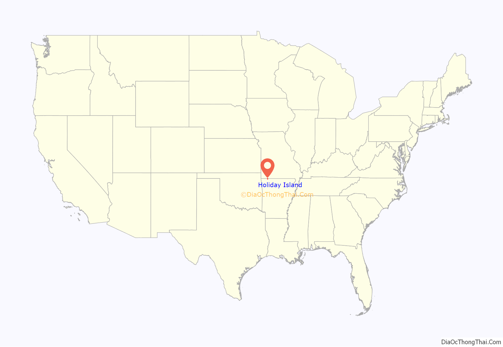
Holiday Island location map. Where is Holiday Island CDP?
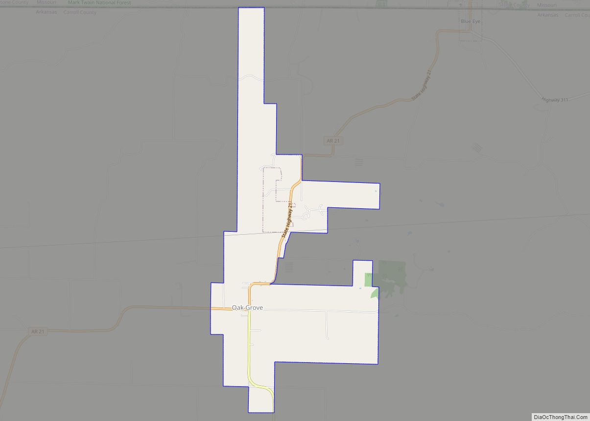
Holiday Island Road Map
Holiday Island city Satellite Map
See also
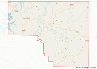
Map of Arkansas State and its subdivision:- Arkansas
- Ashley
- Baxter
- Benton
- Boone
- Bradley
- Calhoun
- Carroll
- Chicot
- Clark
- Clay
- Cleburne
- Cleveland
- Columbia
- Conway
- Craighead
- Crawford
- Crittenden
- Cross
- Dallas
- Desha
- Drew
- Faulkner
- Franklin
- Fulton
- Garland
- Grant
- Greene
- Hempstead
- Hot Spring
- Howard
- Independence
- Izard
- Jackson
- Jefferson
- Johnson
- Lafayette
- Lawrence
- Lee
- Lincoln
- Little River
- Logan
- Lonoke
- Madison
- Marion
- Miller
- Mississippi
- Monroe
- Montgomery
- Nevada
- Newton
- Ouachita
- Perry
- Phillips
- Pike
- Poinsett
- Polk
- Pope
- Prairie
- Pulaski
- Randolph
- Saint Francis
- Saline
- Scott
- Searcy
- Sebastian
- Sevier
- Sharp
- Stone
- Union
- Van Buren
- Washington
- White
- Woodruff
- Yell
- Alabama
- Alaska
- Arizona
- Arkansas
- California
- Colorado
- Connecticut
- Delaware
- District of Columbia
- Florida
- Georgia
- Hawaii
- Idaho
- Illinois
- Indiana
- Iowa
- Kansas
- Kentucky
- Louisiana
- Maine
- Maryland
- Massachusetts
- Michigan
- Minnesota
- Mississippi
- Missouri
- Montana
- Nebraska
- Nevada
- New Hampshire
- New Jersey
- New Mexico
- New York
- North Carolina
- North Dakota
- Ohio
- Oklahoma
- Oregon
- Pennsylvania
- Rhode Island
- South Carolina
- South Dakota
- Tennessee
- Texas
- Utah
- Vermont
- Virginia
- Washington
- West Virginia
- Wisconsin
- Wyoming
