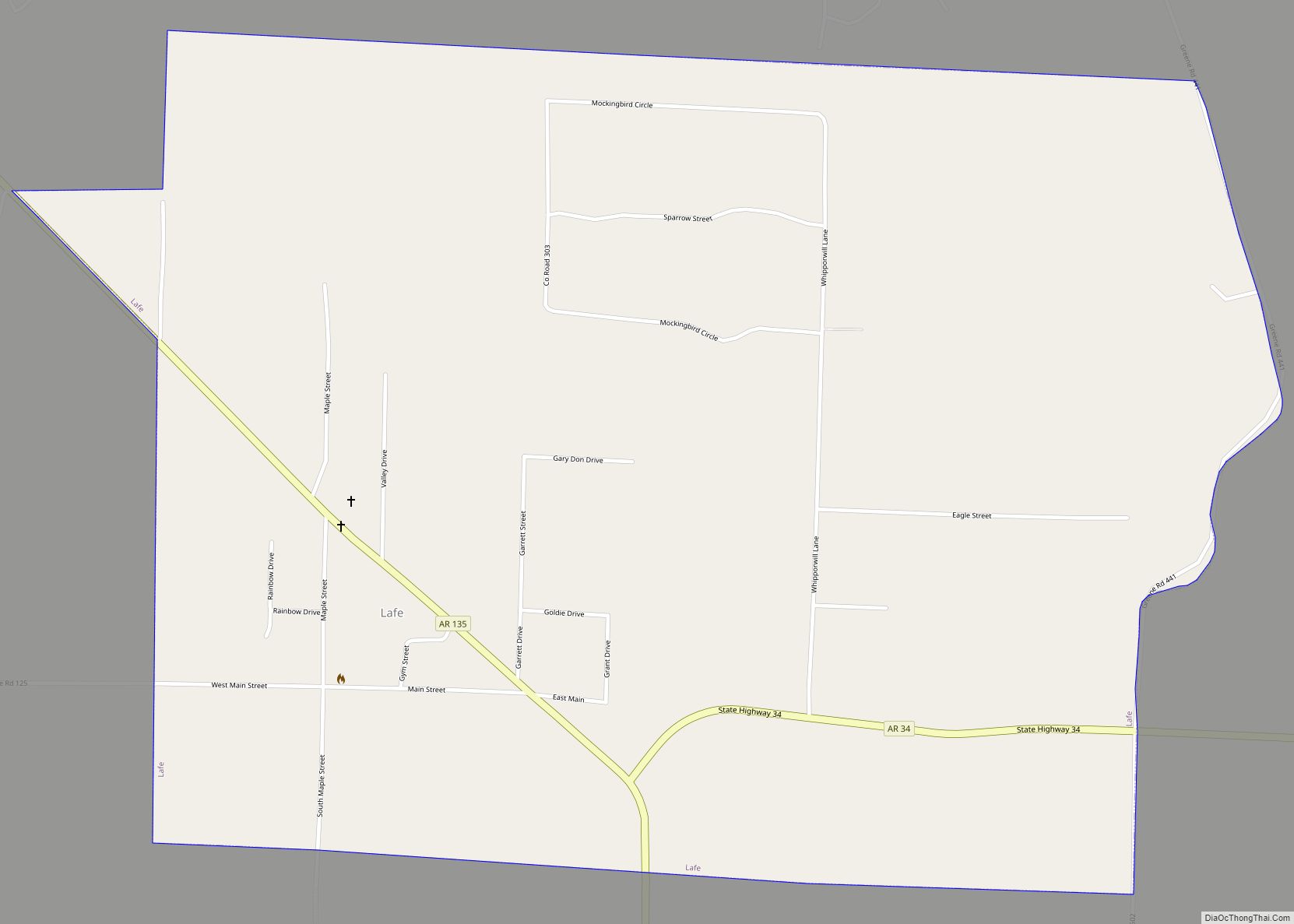
Lafe is a town in Greene County, Arkansas, United States on Crowley’s Ridge. The population was 448 at the 2010 census, up from 385 in 2000.
| Name: | Lafe town |
|---|---|
| LSAD Code: | 43 |
| LSAD Description: | town (suffix) |
| State: | Arkansas |
| County: | Greene County |
| Elevation: | 335 ft (102 m) |
| Total Area: | 2.03 sq mi (5.26 km²) |
| Land Area: | 2.03 sq mi (5.26 km²) |
| Water Area: | 0.00 sq mi (0.00 km²) |
| Total Population: | 418 |
| Population Density: | 205.71/sq mi (79.41/km²) |
| ZIP code: | 72436 |
| Area code: | 870 |
| FIPS code: | 0537660 |
| GNISfeature ID: | 2405966 |
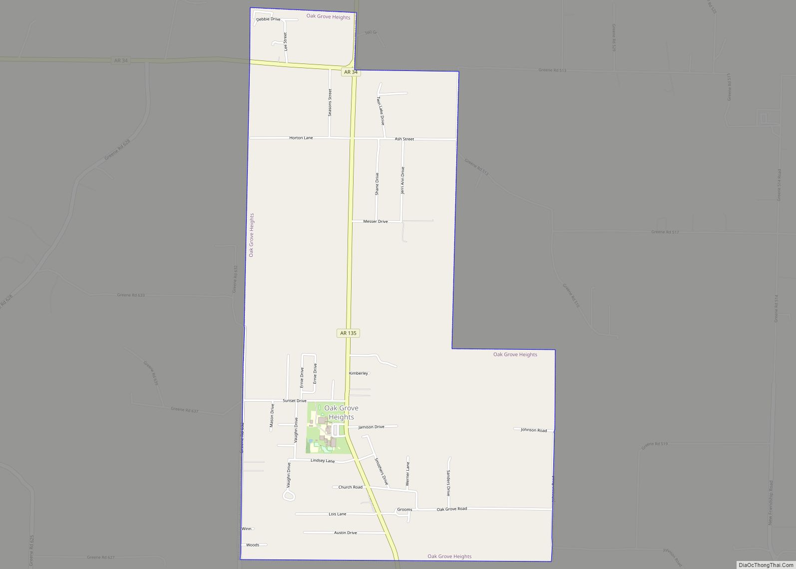
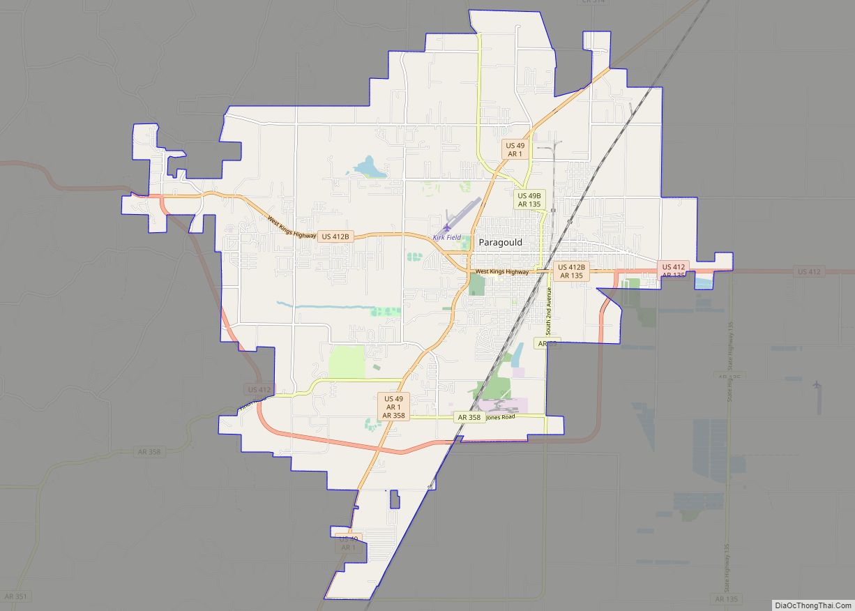
Online Interactive Map
Click on ![]() to view map in "full screen" mode.
to view map in "full screen" mode.
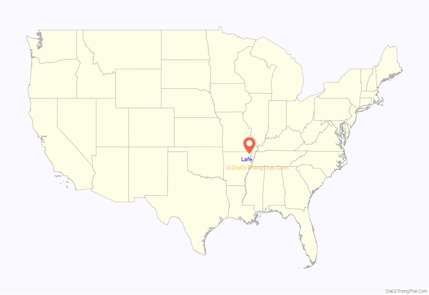
Lafe location map. Where is Lafe town?
History
The first settler of Lafe was Herman Toelken, a German immigrant who had been living in New Haven, Missouri, and was seeking new opportunities in an unsettled area. Toelken began cutting railroad ties for the St. Louis, Iron Mountain and Southern (later Missouri Pacific) railroad in order to save enough money to purchase land and send for his family.
When Toelken was settled he began advertising in a Minneapolis German newspaper seeking other German Lutherans to come to the area. Several families responded to this advertisement, and an assortment of German immigrant families followed him from Franklin County, Missouri.
On December 9, 1889 an application was made to the US Postal Service for the establishment of a post office for “Newberry, Arkansas”, so named due to a sawmill operator of the same name who had set up in the area. The name “Newberry” was denied by the Postal Service, so the postmaster combined the names of his daughters and reapplied with the name “Loulyma”, which was accepted. Mail arrived addressed to “Loulyma” and freight arrived addressed to “Newberry”. In 1901 a new postmaster named Lafayette Mueller took over and sought to settle the name permanently by resubmitting a new name. Townspeople elected to name the town “Lafe” in honor of the new postmaster, and the name was officially changed on May 21, 1902.
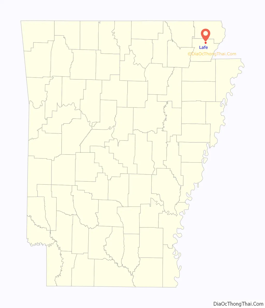
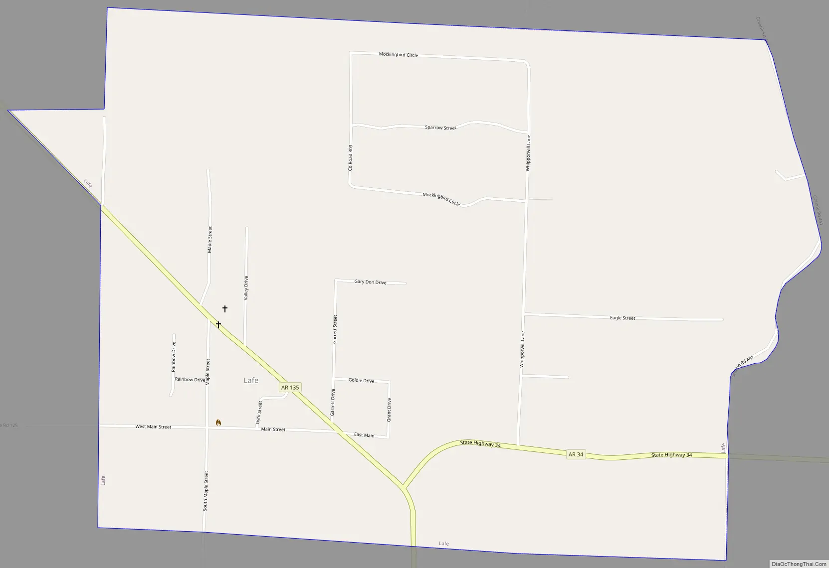
Lafe Road Map
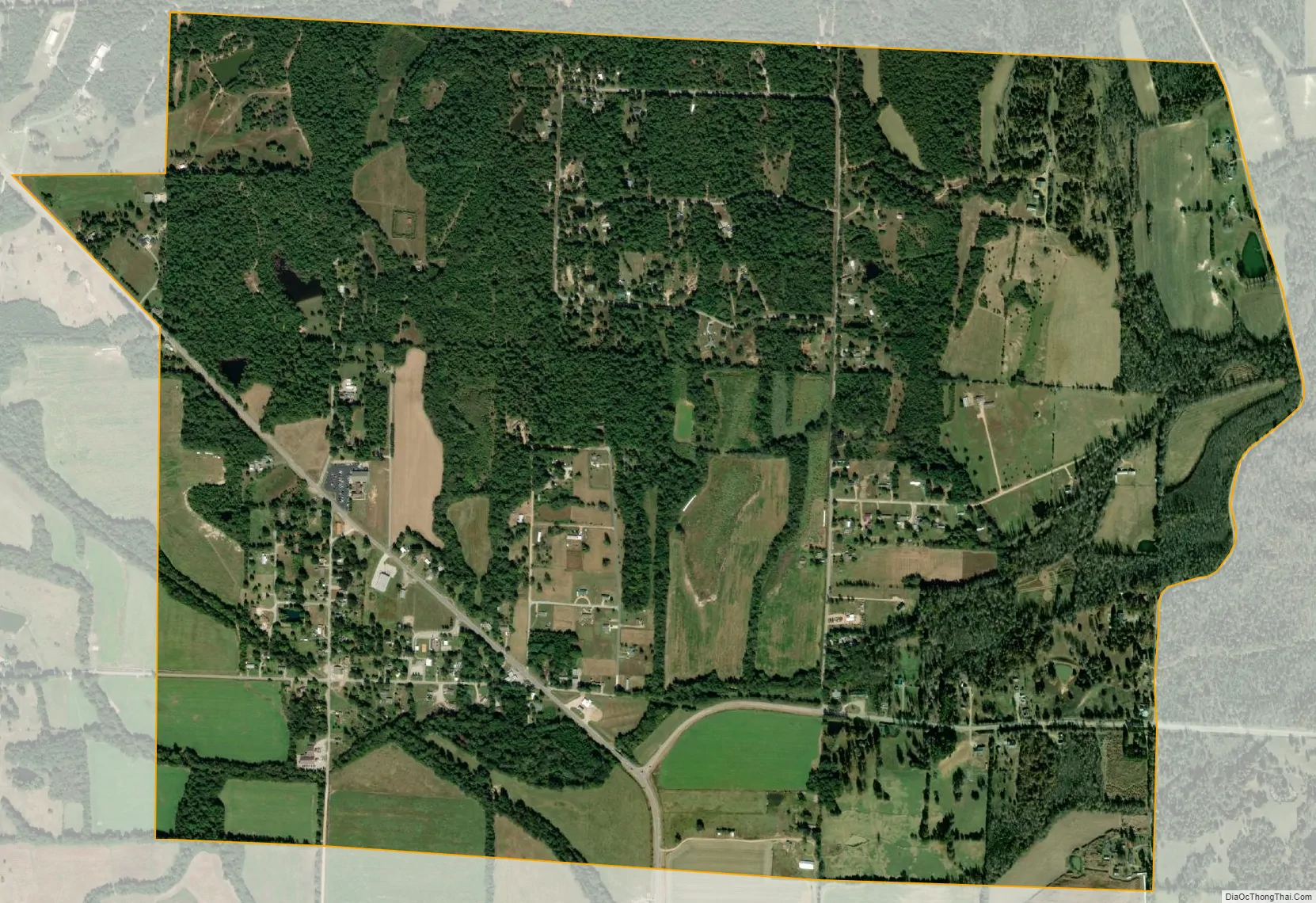
Lafe city Satellite Map
Geography
Lafe is located in northern Greene County at 36°12′18″N 90°30′25″W / 36.20500°N 90.50694°W / 36.20500; -90.50694 (36.204987, -90.507041). It is in the valley of Big Creek on the western side of Crowley’s Ridge, with Big Creek flowing northwest towards the Black River. Arkansas Highways 135 and 34 intersect in Lafe; Highway 135 leads north 14 miles (23 km) to U.S. Route 62 east of Corning and south 11 miles (18 km) to Paragould, the Greene County seat, while Highway 34 leads east 8 miles (13 km) to Marmaduke.
According to the United States Census Bureau, the town of Lafe has a total area of 2.1 square miles (5.4 km), all land.
See also
Map of Arkansas State and its subdivision:- Arkansas
- Ashley
- Baxter
- Benton
- Boone
- Bradley
- Calhoun
- Carroll
- Chicot
- Clark
- Clay
- Cleburne
- Cleveland
- Columbia
- Conway
- Craighead
- Crawford
- Crittenden
- Cross
- Dallas
- Desha
- Drew
- Faulkner
- Franklin
- Fulton
- Garland
- Grant
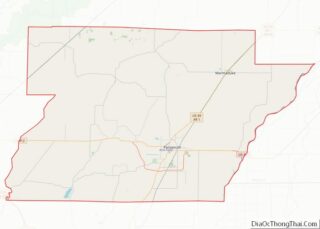
- Greene
- Hempstead
- Hot Spring
- Howard
- Independence
- Izard
- Jackson
- Jefferson
- Johnson
- Lafayette
- Lawrence
- Lee
- Lincoln
- Little River
- Logan
- Lonoke
- Madison
- Marion
- Miller
- Mississippi
- Monroe
- Montgomery
- Nevada
- Newton
- Ouachita
- Perry
- Phillips
- Pike
- Poinsett
- Polk
- Pope
- Prairie
- Pulaski
- Randolph
- Saint Francis
- Saline
- Scott
- Searcy
- Sebastian
- Sevier
- Sharp
- Stone
- Union
- Van Buren
- Washington
- White
- Woodruff
- Yell
- Alabama
- Alaska
- Arizona
- Arkansas
- California
- Colorado
- Connecticut
- Delaware
- District of Columbia
- Florida
- Georgia
- Hawaii
- Idaho
- Illinois
- Indiana
- Iowa
- Kansas
- Kentucky
- Louisiana
- Maine
- Maryland
- Massachusetts
- Michigan
- Minnesota
- Mississippi
- Missouri
- Montana
- Nebraska
- Nevada
- New Hampshire
- New Jersey
- New Mexico
- New York
- North Carolina
- North Dakota
- Ohio
- Oklahoma
- Oregon
- Pennsylvania
- Rhode Island
- South Carolina
- South Dakota
- Tennessee
- Texas
- Utah
- Vermont
- Virginia
- Washington
- West Virginia
- Wisconsin
- Wyoming