New Haven is a city in Franklin County, Missouri, United States. The population was 2,414 as of the 2020 census.
New Haven is within the Hermann AVA (American Viticultural Area).
| Name: | New Haven city |
|---|---|
| LSAD Code: | 25 |
| LSAD Description: | city (suffix) |
| State: | Missouri |
| County: | Franklin County |
| Elevation: | 669 ft (204 m) |
| Total Area: | 3.38 sq mi (8.75 km²) |
| Land Area: | 3.21 sq mi (8.32 km²) |
| Water Area: | 0.16 sq mi (0.42 km²) |
| Total Population: | 2,414 |
| Population Density: | 751.32/sq mi (290.12/km²) |
| ZIP code: | 63068 |
| Area code: | 573 |
| FIPS code: | 2951914 |
| GNISfeature ID: | 2395200 |
| Website: | www.newhavenmo.org |
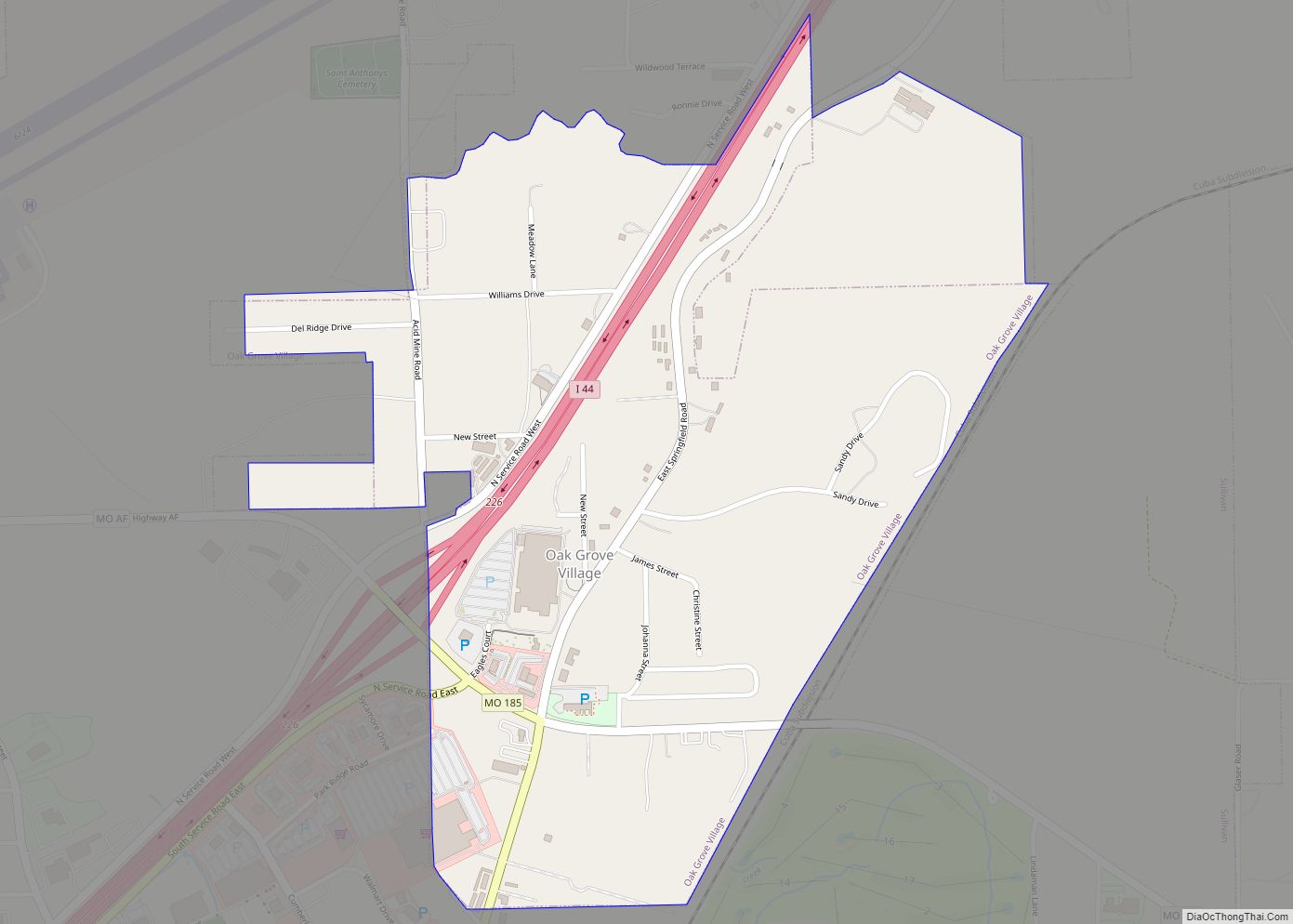
Online Interactive Map
Click on ![]() to view map in "full screen" mode.
to view map in "full screen" mode.
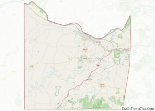
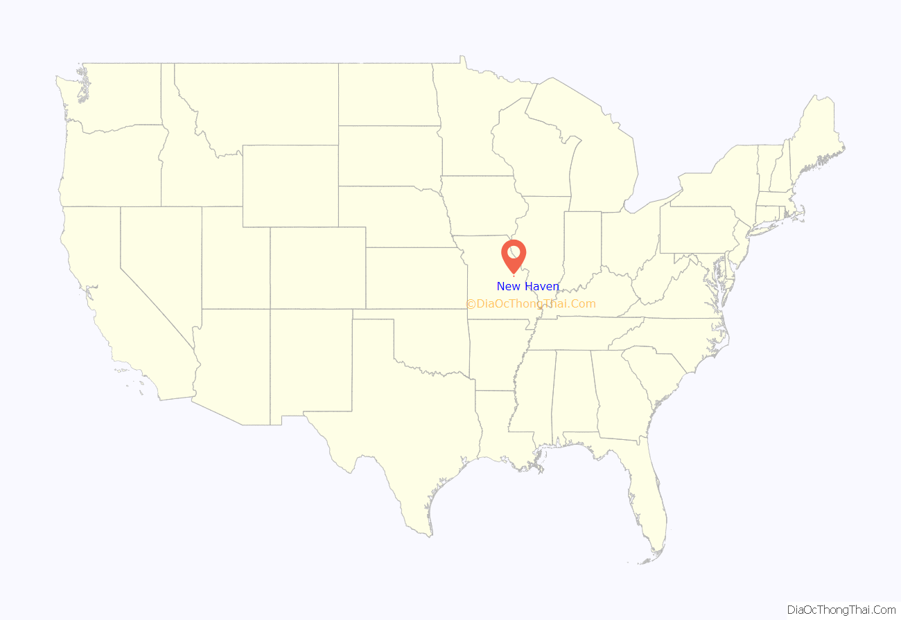
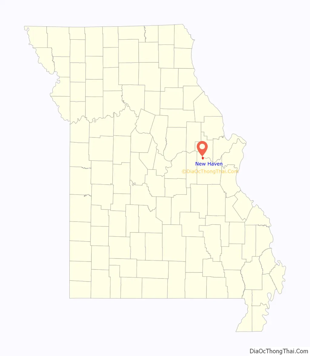
New Haven location map. Where is New Haven city?
History
New Haven was originally called Miller’s Landing, and under the latter name was platted in 1855. A post office called New Haven has been in operation since 1858.
The AME Church of New Haven, New Haven Commercial Historic District, New Haven Residential Historic District, Wilhelm Pelster House-Barn, and Christopher and Johanna Twelker Farm are listed on the National Register of Historic Places.
One notable resident of the New Haven area was Herman Otten (b.1933, d. 2019), pastor of Trinity Lutheran for 55 years. He was the editor of Beck’s American Translation and of the Christian News weekly paper.
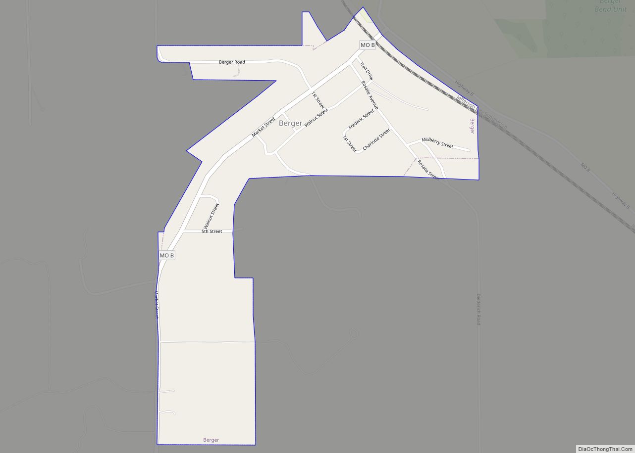
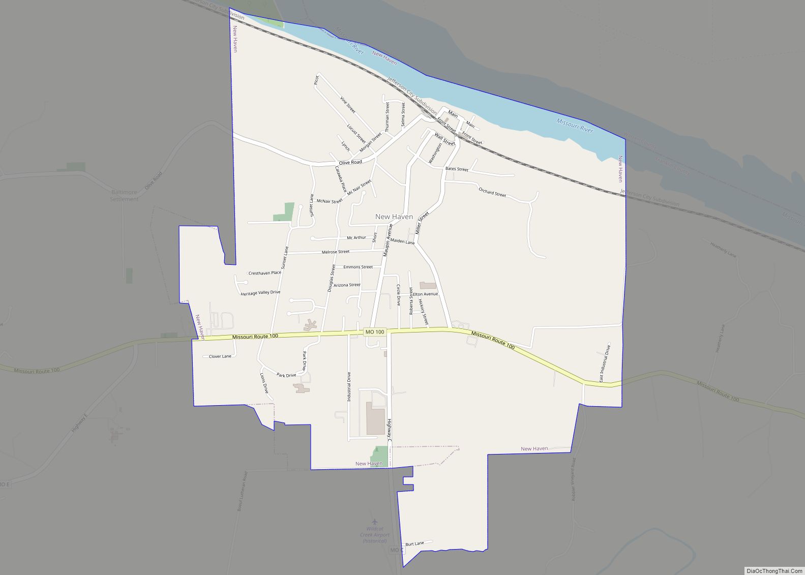
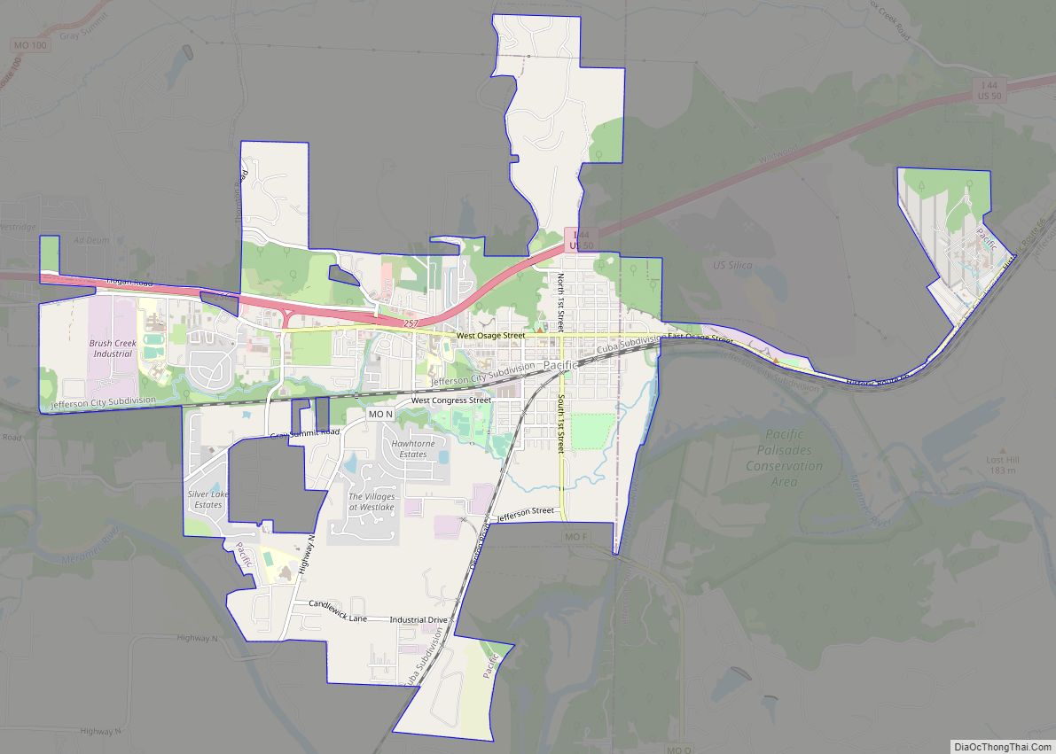
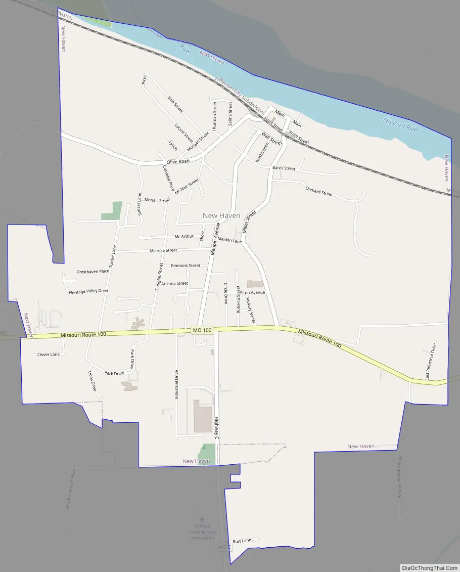
New Haven Road Map
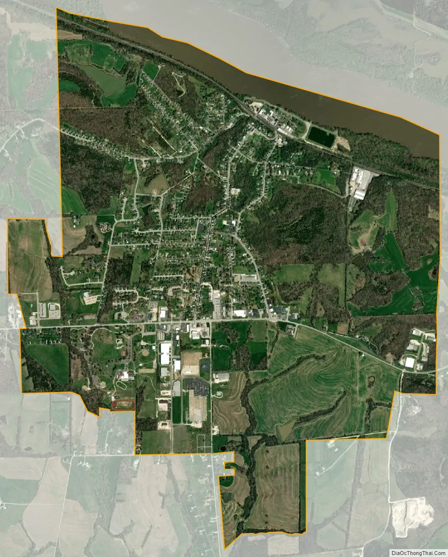
New Haven city Satellite Map
Geography
The city is located in northwest Franklin County above the Missouri River Valley. Missouri Route 100 is on the south side of the city. Hermann is approximately 13 miles to the northwest and Washington is 11 miles to the east.
According to the United States Census Bureau, the city has a total area of 3.45 square miles (8.94 km), of which 3.29 square miles (8.52 km) is land and 0.16 square miles (0.41 km) is water.
See also
Map of Missouri State and its subdivision:- Adair
- Andrew
- Atchison
- Audrain
- Barry
- Barton
- Bates
- Benton
- Bollinger
- Boone
- Buchanan
- Butler
- Caldwell
- Callaway
- Camden
- Cape Girardeau
- Carroll
- Carter
- Cass
- Cedar
- Chariton
- Christian
- Clark
- Clay
- Clinton
- Cole
- Cooper
- Crawford
- Dade
- Dallas
- Daviess
- De Kalb
- Dent
- Douglas
- Dunklin
- Franklin
- Gasconade
- Gentry
- Greene
- Grundy
- Harrison
- Henry
- Hickory
- Holt
- Howard
- Howell
- Iron
- Jackson
- Jasper
- Jefferson
- Johnson
- Knox
- Laclede
- Lafayette
- Lawrence
- Lewis
- Lincoln
- Linn
- Livingston
- Macon
- Madison
- Maries
- Marion
- McDonald
- Mercer
- Miller
- Mississippi
- Moniteau
- Monroe
- Montgomery
- Morgan
- New Madrid
- Newton
- Nodaway
- Oregon
- Osage
- Ozark
- Pemiscot
- Perry
- Pettis
- Phelps
- Pike
- Platte
- Polk
- Pulaski
- Putnam
- Ralls
- Randolph
- Ray
- Reynolds
- Ripley
- Saint Charles
- Saint Clair
- Saint Francois
- Saint Louis
- Sainte Genevieve
- Saline
- Schuyler
- Scotland
- Scott
- Shannon
- Shelby
- Stoddard
- Stone
- Sullivan
- Taney
- Texas
- Vernon
- Warren
- Washington
- Wayne
- Webster
- Worth
- Wright
- Alabama
- Alaska
- Arizona
- Arkansas
- California
- Colorado
- Connecticut
- Delaware
- District of Columbia
- Florida
- Georgia
- Hawaii
- Idaho
- Illinois
- Indiana
- Iowa
- Kansas
- Kentucky
- Louisiana
- Maine
- Maryland
- Massachusetts
- Michigan
- Minnesota
- Mississippi
- Missouri
- Montana
- Nebraska
- Nevada
- New Hampshire
- New Jersey
- New Mexico
- New York
- North Carolina
- North Dakota
- Ohio
- Oklahoma
- Oregon
- Pennsylvania
- Rhode Island
- South Carolina
- South Dakota
- Tennessee
- Texas
- Utah
- Vermont
- Virginia
- Washington
- West Virginia
- Wisconsin
- Wyoming