Sherwood is a city in Pulaski County, Arkansas, United States. As of the 2020 census, the population of the city was 32,731. It is part of the Little Rock−North Little Rock−Conway Metropolitan Statistical Area with 699,757 people according to the 2010 census.
| Name: | Sherwood city |
|---|---|
| LSAD Code: | 25 |
| LSAD Description: | city (suffix) |
| State: | Arkansas |
| County: | Pulaski County |
| Elevation: | 328 ft (100 m) |
| Total Area: | 21.15 sq mi (54.79 km²) |
| Land Area: | 20.74 sq mi (53.73 km²) |
| Water Area: | 0.41 sq mi (1.06 km²) |
| Total Population: | 32,731 |
| Population Density: | 1,577.85/sq mi (609.22/km²) |
| ZIP code: | 72120 |
| Area code: | 501 |
| FIPS code: | 0563800 |
| GNISfeature ID: | 0058612 |
| Website: | www.cityofsherwood.net |
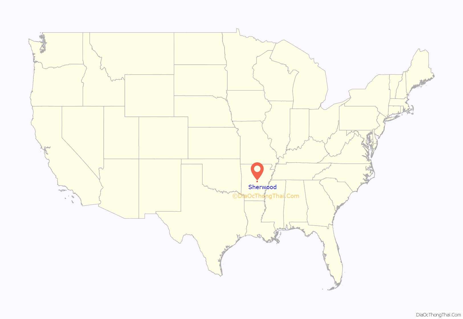
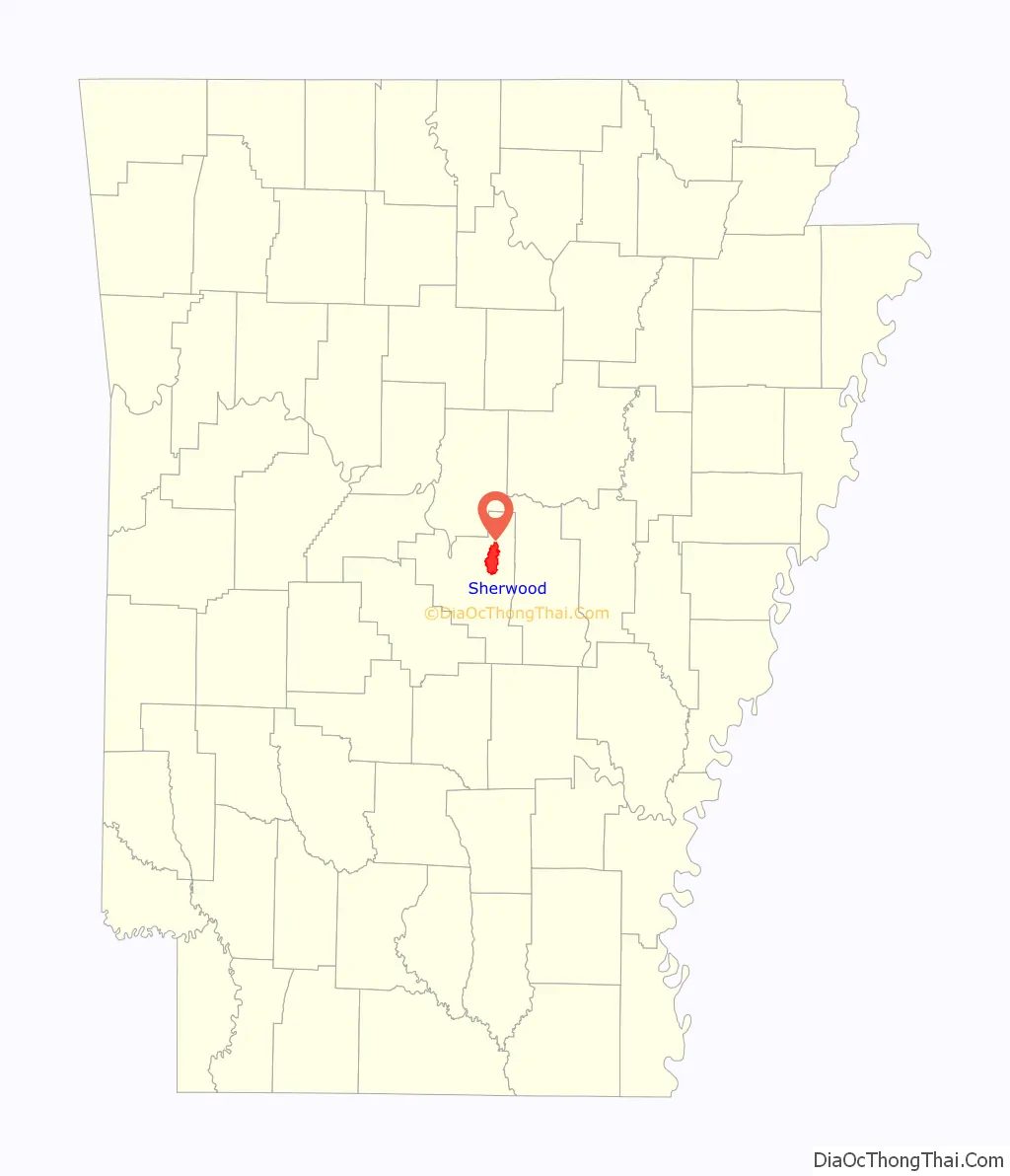
Online Interactive Map
Click on ![]() to view map in "full screen" mode.
to view map in "full screen" mode.
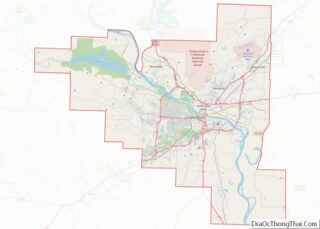
Sherwood location map. Where is Sherwood city?
History
Sherwood was officially incorporated as a town on April 22, 1948. Sherwood moved to a city of Second Class on September 16, 1957 and subsequently as a city of First Class on April 30, 1971.
On March 31, 2023, a damaging tornado passed through Sherwood causing damage. The tornado originally touched down near Little Rock, before it continued on a path which went through Sherwood.
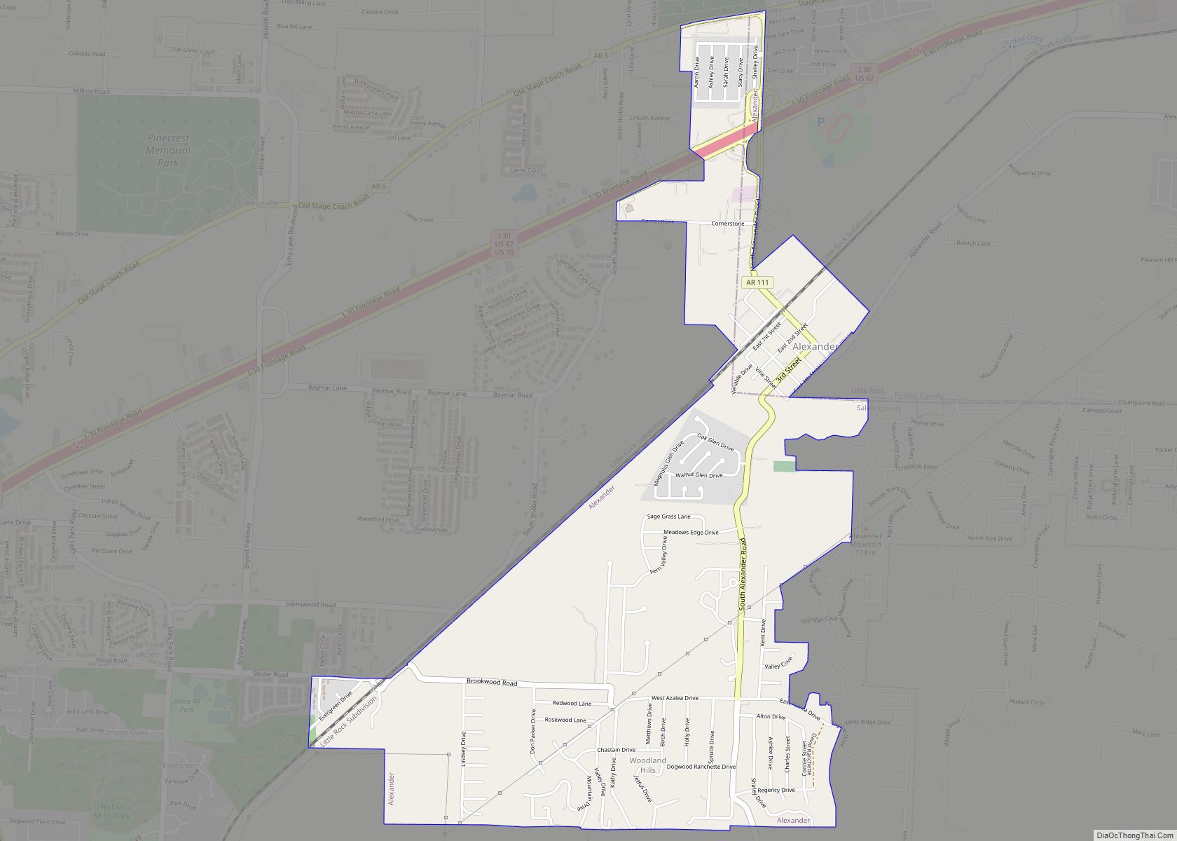
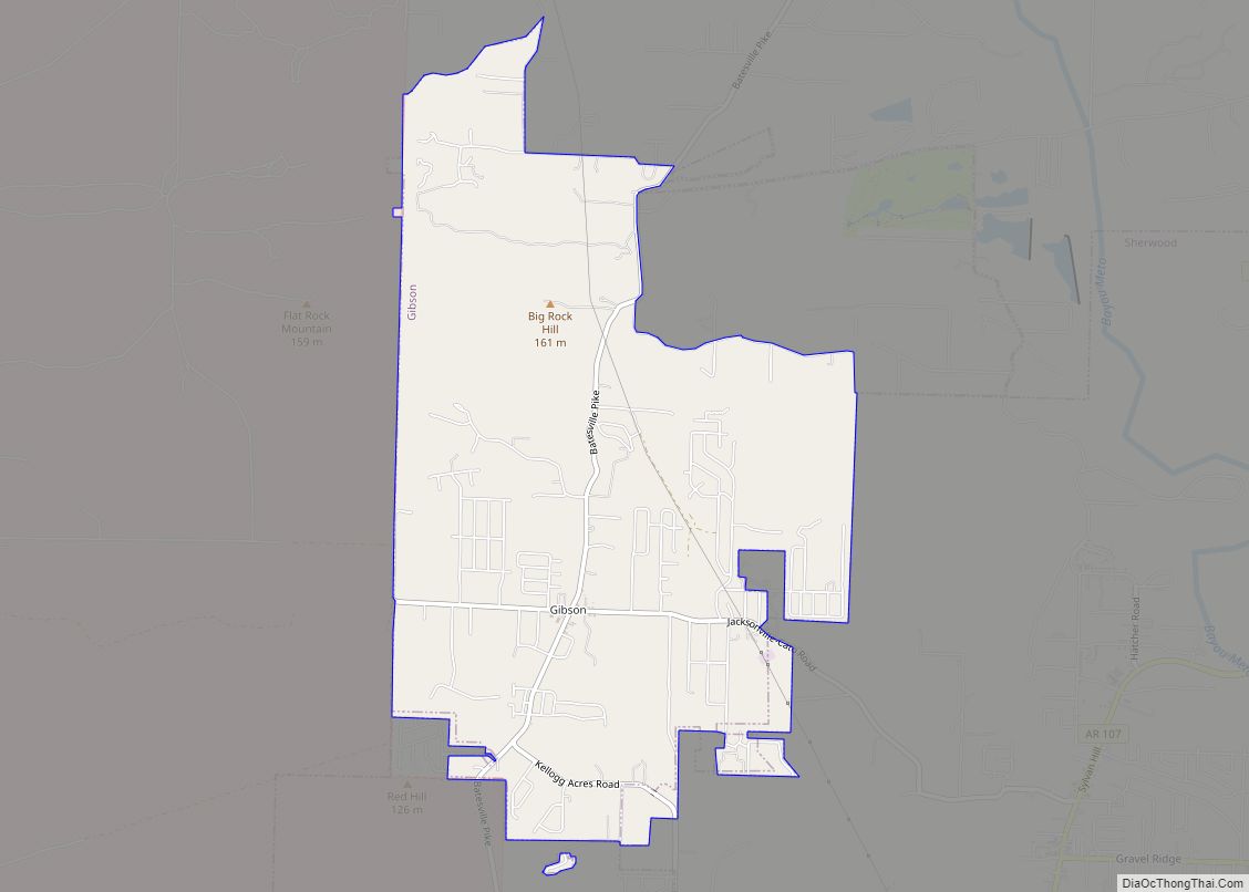
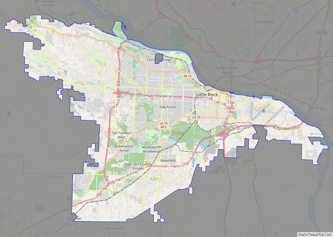
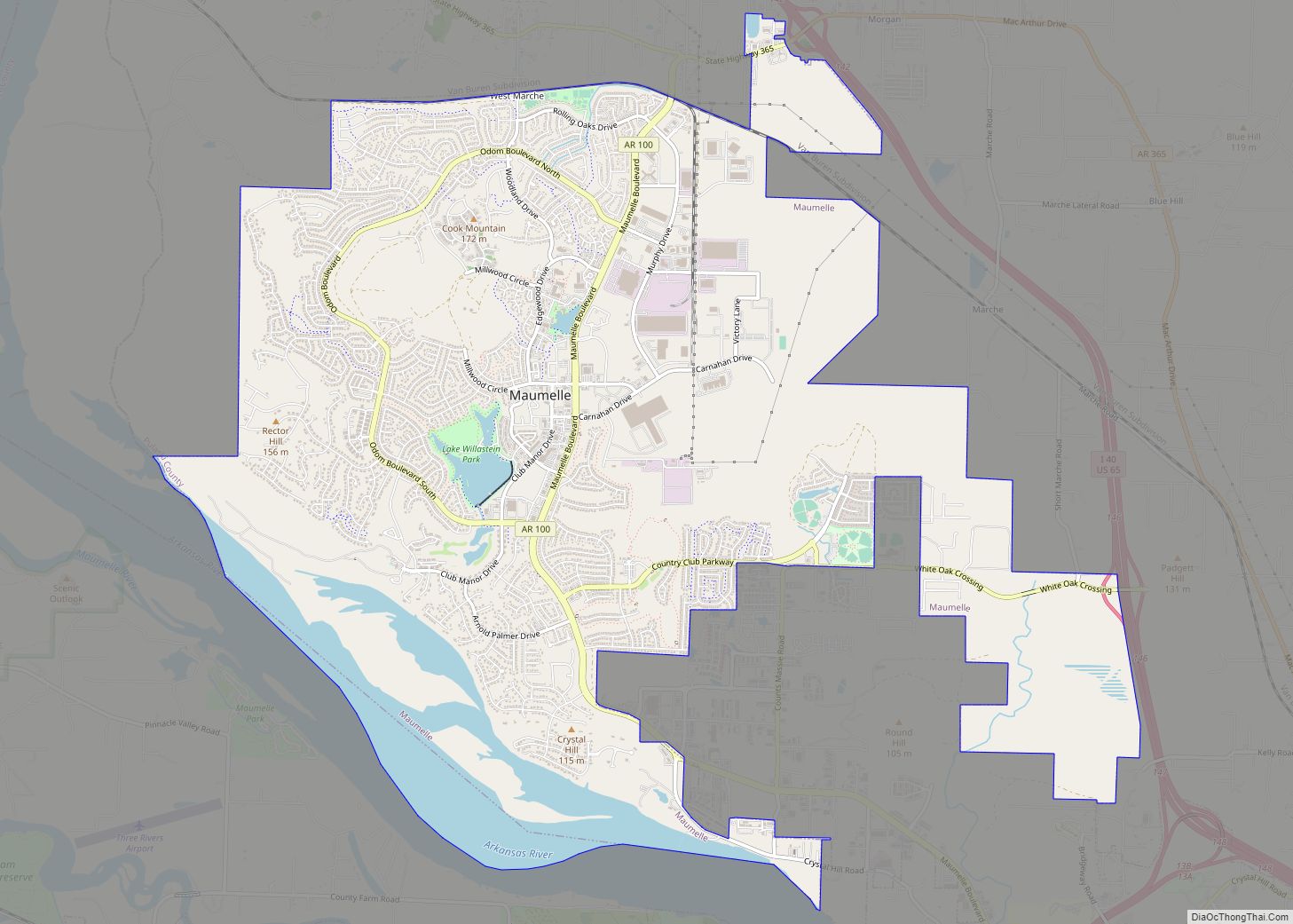
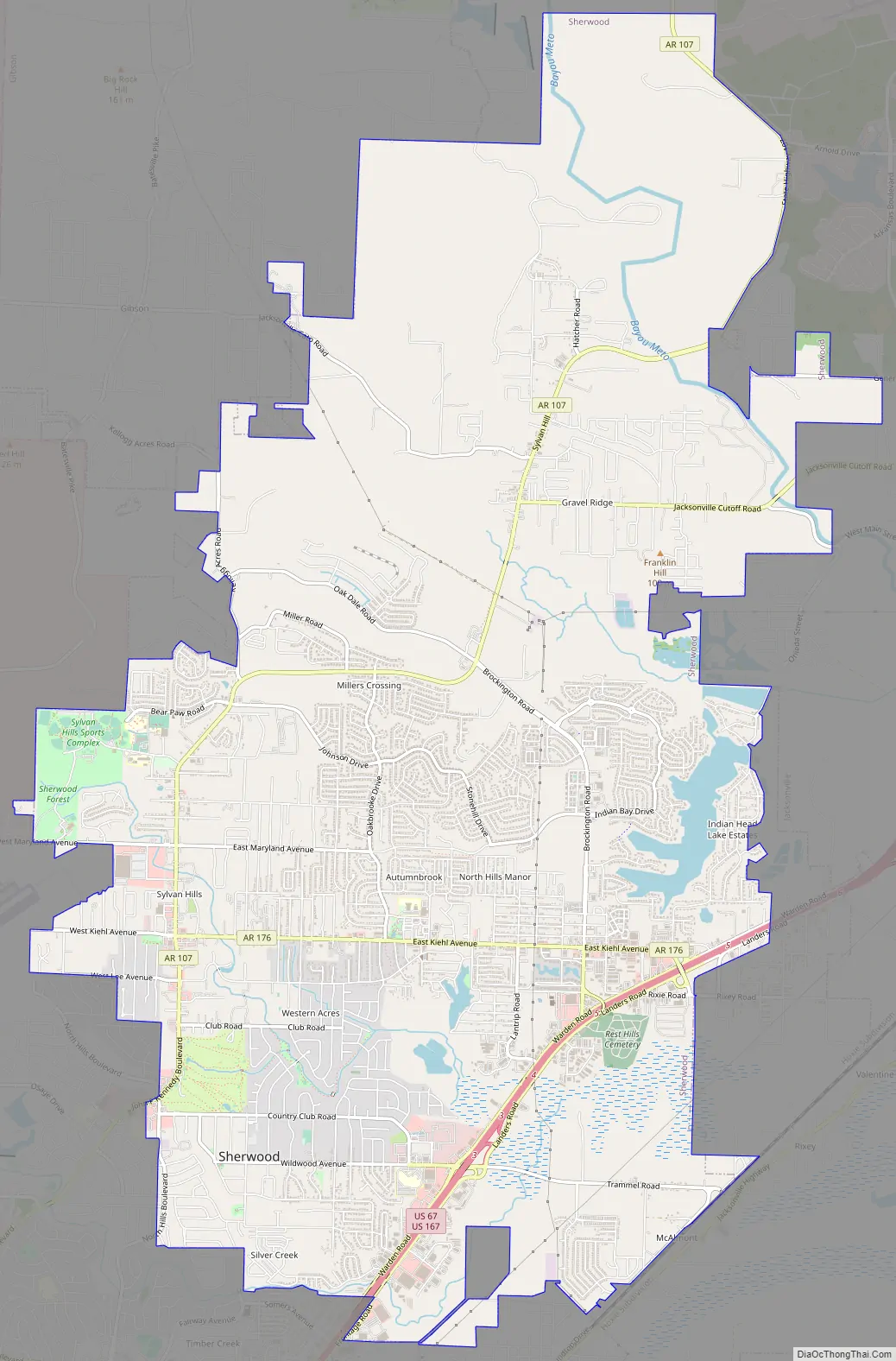
Sherwood Road Map
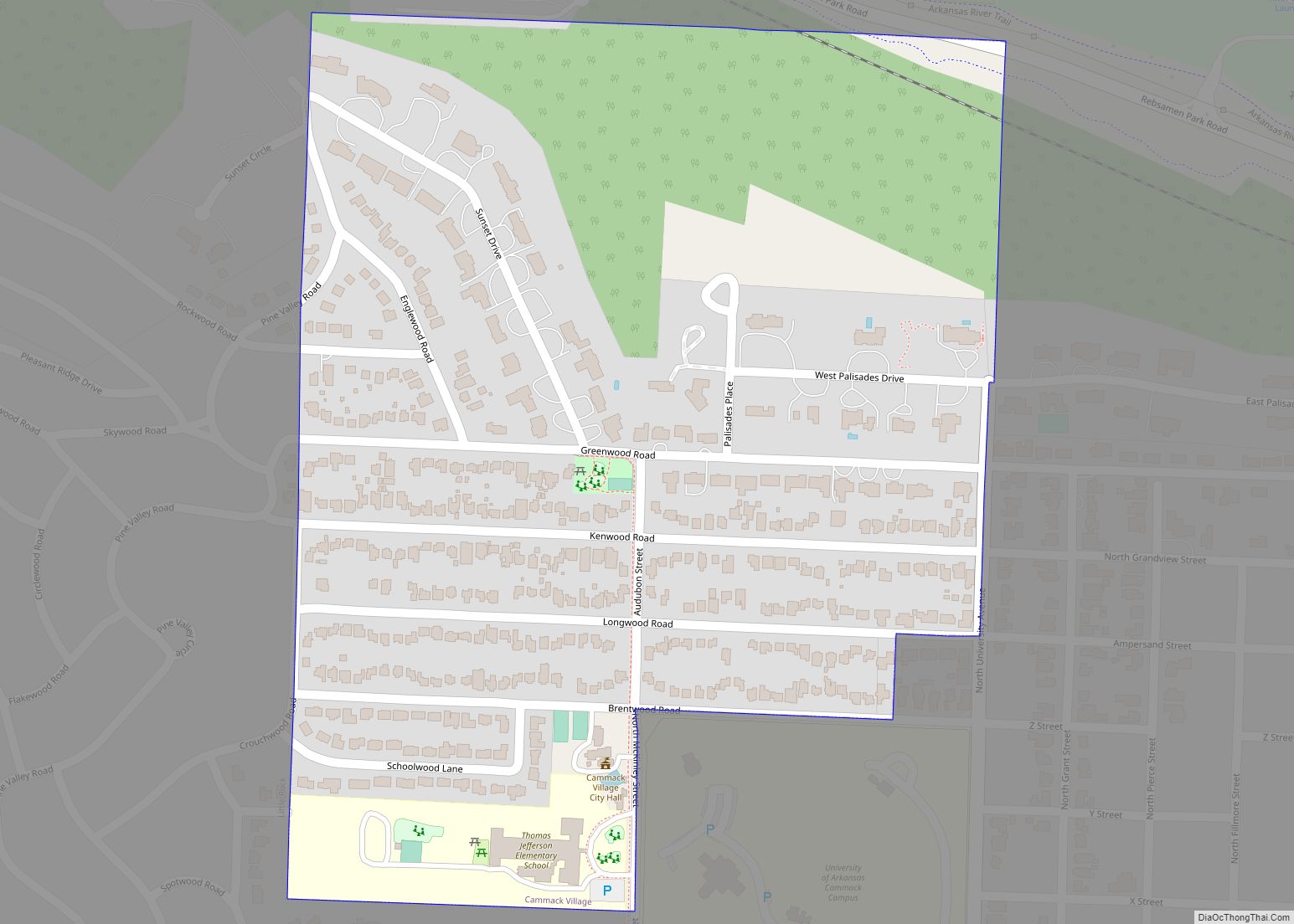
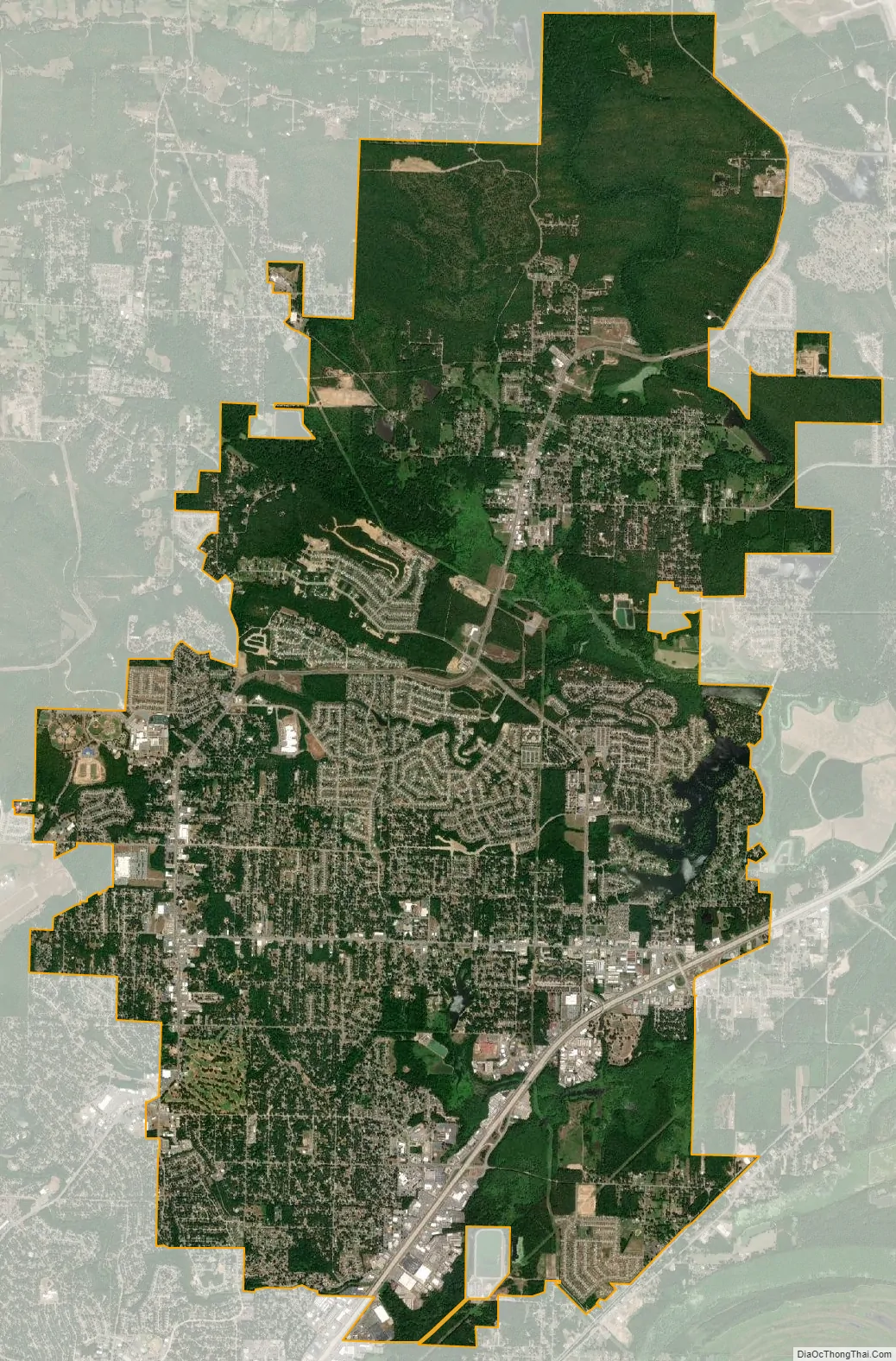
Sherwood city Satellite Map
Geography
Sherwood is located at 34°49′51″N 92°12′41″W / 34.83083°N 92.21139°W / 34.83083; -92.21139 (34.830890, -92.211514).
According to the United States Census Bureau, the city has a total area of 20.8 square miles (54.0 km), of which 20.6 square miles (53.4 km) is land and 0.23 square miles (0.6 km), or 1.15%, is water.
Climate
Sherwood lies in the humid subtropical climate zone (Köppen Cfa). Sherwood experiences all four seasons and does receive cold air masses from the north. July is the hottest month of the year, with an average high of 92 °F (33 °C) and an average low of 73 °F (23 °C). Temperatures above 100 °F (37.8 °C) are somewhat common. January is the coldest month with an average high of 50 °F (10 °C) and an average low of 33 °F (1 °C). The city’s highest temperature was 110 °F (43.3 °C), recorded in July 1986. The lowest temperature recorded was −6 °F (−21.1 °C), in January 1985.
See also
Map of Arkansas State and its subdivision:- Arkansas
- Ashley
- Baxter
- Benton
- Boone
- Bradley
- Calhoun
- Carroll
- Chicot
- Clark
- Clay
- Cleburne
- Cleveland
- Columbia
- Conway
- Craighead
- Crawford
- Crittenden
- Cross
- Dallas
- Desha
- Drew
- Faulkner
- Franklin
- Fulton
- Garland
- Grant
- Greene
- Hempstead
- Hot Spring
- Howard
- Independence
- Izard
- Jackson
- Jefferson
- Johnson
- Lafayette
- Lawrence
- Lee
- Lincoln
- Little River
- Logan
- Lonoke
- Madison
- Marion
- Miller
- Mississippi
- Monroe
- Montgomery
- Nevada
- Newton
- Ouachita
- Perry
- Phillips
- Pike
- Poinsett
- Polk
- Pope
- Prairie
- Pulaski
- Randolph
- Saint Francis
- Saline
- Scott
- Searcy
- Sebastian
- Sevier
- Sharp
- Stone
- Union
- Van Buren
- Washington
- White
- Woodruff
- Yell
- Alabama
- Alaska
- Arizona
- Arkansas
- California
- Colorado
- Connecticut
- Delaware
- District of Columbia
- Florida
- Georgia
- Hawaii
- Idaho
- Illinois
- Indiana
- Iowa
- Kansas
- Kentucky
- Louisiana
- Maine
- Maryland
- Massachusetts
- Michigan
- Minnesota
- Mississippi
- Missouri
- Montana
- Nebraska
- Nevada
- New Hampshire
- New Jersey
- New Mexico
- New York
- North Carolina
- North Dakota
- Ohio
- Oklahoma
- Oregon
- Pennsylvania
- Rhode Island
- South Carolina
- South Dakota
- Tennessee
- Texas
- Utah
- Vermont
- Virginia
- Washington
- West Virginia
- Wisconsin
- Wyoming