Warren is a city in and the county seat of Bradley County, Arkansas, United States. As of the 2010 census, the population was 6,003.
| Name: | Warren city |
|---|---|
| LSAD Code: | 25 |
| LSAD Description: | city (suffix) |
| State: | Arkansas |
| County: | Bradley County |
| Elevation: | 220 ft (67 m) |
| Total Area: | 7.06 sq mi (18.28 km²) |
| Land Area: | 7.04 sq mi (18.22 km²) |
| Water Area: | 0.03 sq mi (0.06 km²) |
| Total Population: | 5,453 |
| Population Density: | 775.12/sq mi (299.29/km²) |
| ZIP code: | 71671 |
| Area code: | 870 |
| FIPS code: | 0573310 |
| GNISfeature ID: | 0078699 |
| Website: | cityofwarren.us |
Online Interactive Map
Click on ![]() to view map in "full screen" mode.
to view map in "full screen" mode.
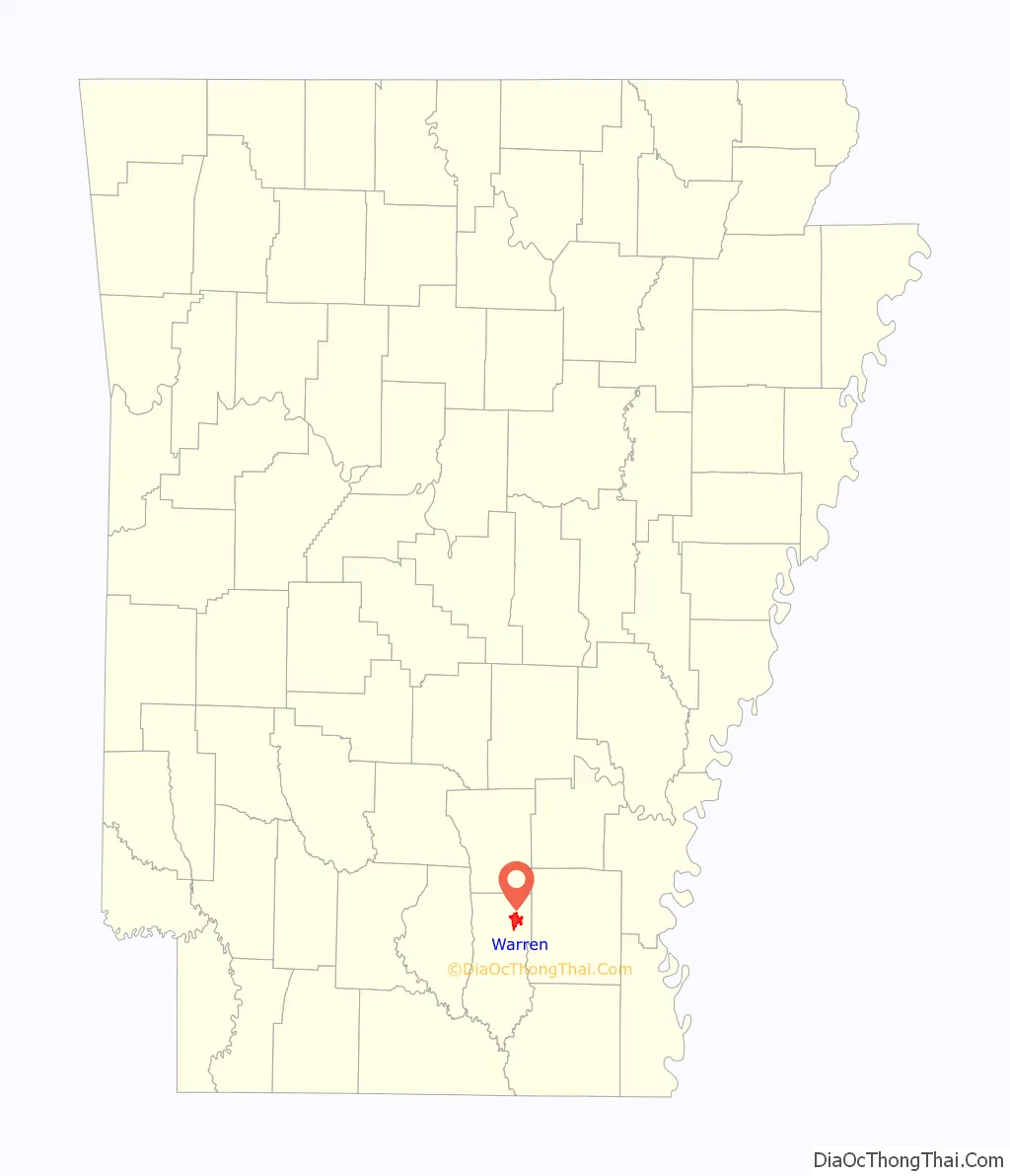
Warren location map. Where is Warren city?
History
When settlers from the east began to arrive in south Arkansas, the land was inhabited by the indigenous tribe known as the Quapaw. The earliest cession of territory was made in 1818, with a later boundary against the neighboring Choctaw tribe in 1820, opening up the southeastern corner of the Arkansas Territory for settlement. Although the area had been settled by European-Americans for approximately thirty years, the city itself was not incorporated until 1851. Tradition says the city is named after a former slave, freed by Captain Hugh Bradley, the namesake of the county and leader of the main early settlement party which established the city. The original plat was laid out on land donated by Isaac Pennington, a key member of Bradley’s company.
The Missouri Pacific Railroad map dated 1891 shows a railroad to Warren. A main railroad line ran between Pine Bluff, Arkansas and Monroe, Louisiana with spurs to Warren, Arkansas and Arkansas City, Arkansas.
Around the turn of the twentieth century, Warren found itself in the middle of a boom in the timber industry. In March, 1901, the Arkansas Lumber Company with headquarters in Warren was incorporated by Moses Rittenhouse and John Embree. In Sept., 1901, the Bradley Lumber Company of Warren was created by Samuel Holmes Fullerton of St. Louis, MO. In 1902, the Southern Lumber Company of Warren was created.
During the 1950s, Potlatch Forests Inc. purchased the Bradley Lumber Company and Southern Lumber Company. The Arkansas Lumber Company went out of business.
Timber and lumber continues to be important to the city’s economy, although the lumber yards that were vital to Warren throughout the past century are no longer in operation.
The city’s Victorian-era courthouse was originally built in 1903 and still maintains the exterior character, despite necessary refurbishments to the interior offices and courtroom.
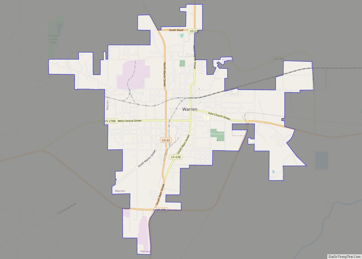
Warren Road Map
Warren city Satellite Map
Geography
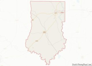
Warren is located in northeast Bradley County on high ground 2 miles (3 km) west of the Saline River, a tributary of the Ouachita River. U.S. Route 63 passes through the center of the city, leading north 46 miles (74 km) to Pine Bluff and southwest 50 miles (80 km) to El Dorado. U.S. Route 278 bypasses Warren to the south and leads east 16 miles (26 km) to Monticello and west 26 miles (42 km) to Hampton.
According to the United States Census Bureau, Warren has a total area of 7.2 square miles (18.7 km), of which 0.023 square miles (0.06 km), or 0.33%, is water.
Climate
The climate in this area is characterized by hot, humid summers and generally mild to cool winters. According to the Köppen Climate Classification system, Warren has a humid subtropical climate, abbreviated “Cfa” on climate maps. Tornadoes have occurred on at least two occasions. The first occurred on January 3, 1949, killing 55 people and injuring 435. On March 28, 1975, another tornado killed seven people and injured 51. Both were rated F4 on the Fujita scale.
See also
Map of Arkansas State and its subdivision:- Arkansas
- Ashley
- Baxter
- Benton
- Boone
- Bradley
- Calhoun
- Carroll
- Chicot
- Clark
- Clay
- Cleburne
- Cleveland
- Columbia
- Conway
- Craighead
- Crawford
- Crittenden
- Cross
- Dallas
- Desha
- Drew
- Faulkner
- Franklin
- Fulton
- Garland
- Grant
- Greene
- Hempstead
- Hot Spring
- Howard
- Independence
- Izard
- Jackson
- Jefferson
- Johnson
- Lafayette
- Lawrence
- Lee
- Lincoln
- Little River
- Logan
- Lonoke
- Madison
- Marion
- Miller
- Mississippi
- Monroe
- Montgomery
- Nevada
- Newton
- Ouachita
- Perry
- Phillips
- Pike
- Poinsett
- Polk
- Pope
- Prairie
- Pulaski
- Randolph
- Saint Francis
- Saline
- Scott
- Searcy
- Sebastian
- Sevier
- Sharp
- Stone
- Union
- Van Buren
- Washington
- White
- Woodruff
- Yell
- Alabama
- Alaska
- Arizona
- Arkansas
- California
- Colorado
- Connecticut
- Delaware
- District of Columbia
- Florida
- Georgia
- Hawaii
- Idaho
- Illinois
- Indiana
- Iowa
- Kansas
- Kentucky
- Louisiana
- Maine
- Maryland
- Massachusetts
- Michigan
- Minnesota
- Mississippi
- Missouri
- Montana
- Nebraska
- Nevada
- New Hampshire
- New Jersey
- New Mexico
- New York
- North Carolina
- North Dakota
- Ohio
- Oklahoma
- Oregon
- Pennsylvania
- Rhode Island
- South Carolina
- South Dakota
- Tennessee
- Texas
- Utah
- Vermont
- Virginia
- Washington
- West Virginia
- Wisconsin
- Wyoming

