Lake City (formerly, Tri-Lake City) is a census-designated place in Modoc County, California. It is located 8.5 miles (14 km) north-northwest of Cedarville, at an elevation of 4626 feet (1410 m). Its population is 71 as of the 2020 census, up from 61 from the 2010 census.
The first post office at Lake City opened in 1868. Lake City’s ZIP Code is 96115.
A 1913 book described Lake City as being near Upper Alkali Lake and having a population of about 150.
The city is mentioned in the 1995 travel novel California Fault by author Thurston Clarke, when he referenced the area of Modoc County by his great-grandfather’s travels in the 1850s in the Fandango Pass.
| Name: | Lake City CDP |
|---|---|
| LSAD Code: | 57 |
| LSAD Description: | CDP (suffix) |
| State: | California |
| County: | Modoc County |
| Elevation: | 4,626 ft (1,410 m) |
| Total Area: | 5.820 sq mi (15.072 km²) |
| Land Area: | 5.817 sq mi (15.066 km²) |
| Water Area: | 0.003 sq mi (0.007 km²) 0.04% |
| Total Population: | 71 |
| Population Density: | 12/sq mi (4.7/km²) |
| ZIP code: | 96115 |
| Area code: | 530 |
| FIPS code: | 0639472 |
Online Interactive Map
Click on ![]() to view map in "full screen" mode.
to view map in "full screen" mode.
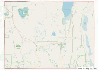
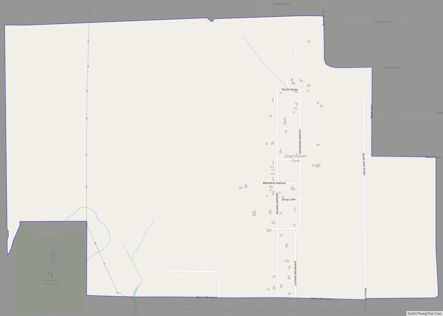
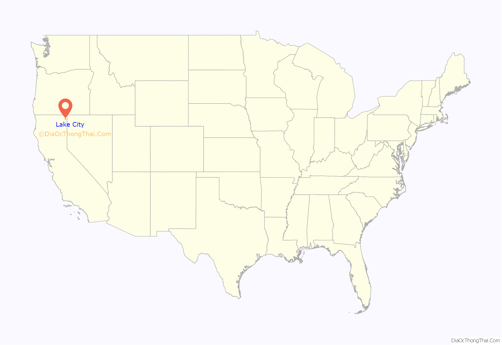
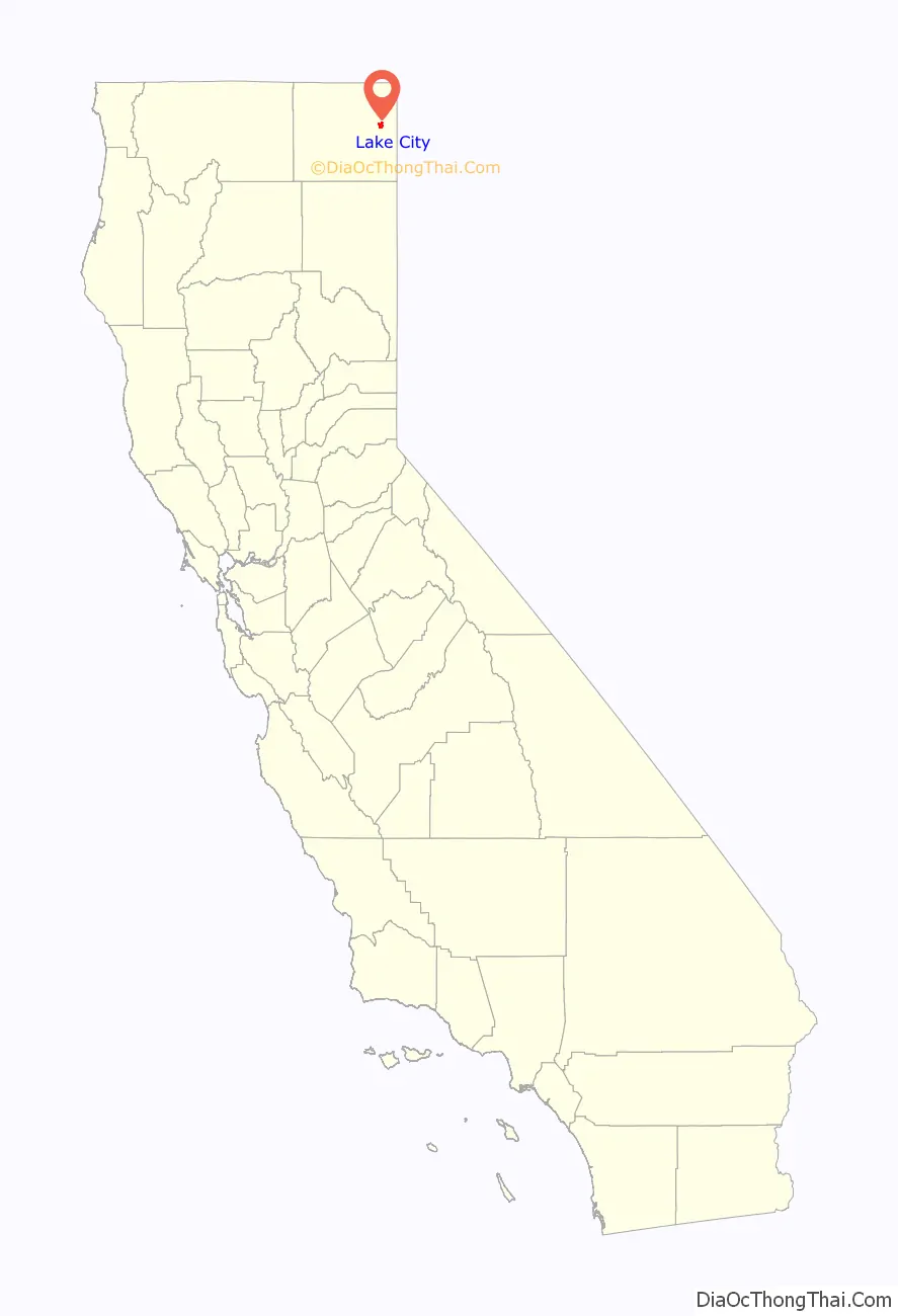
Lake City location map. Where is Lake City CDP?
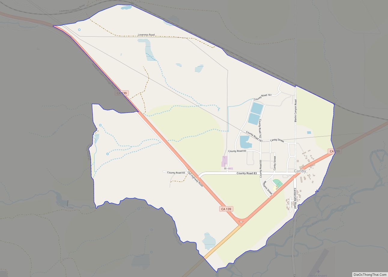
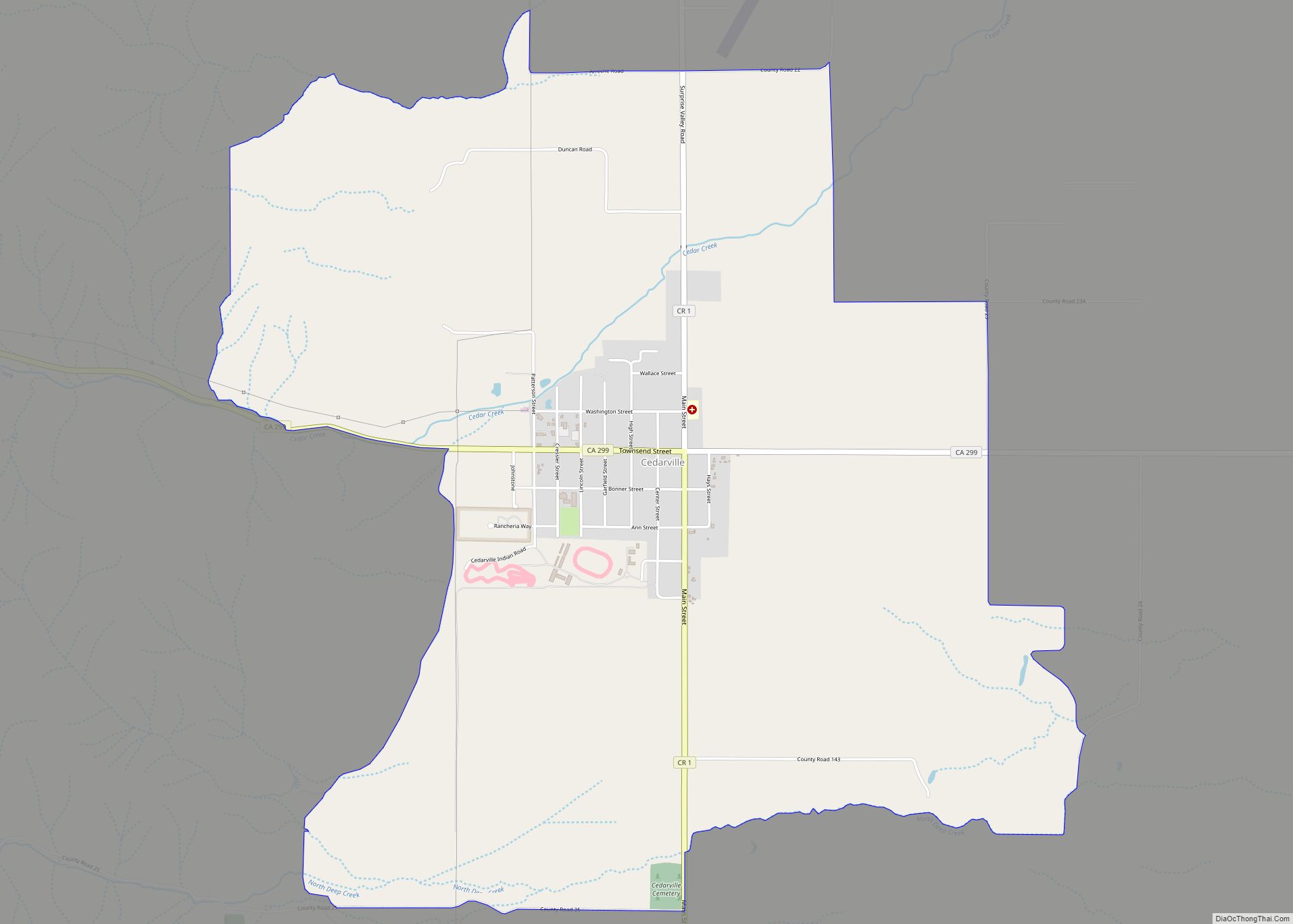
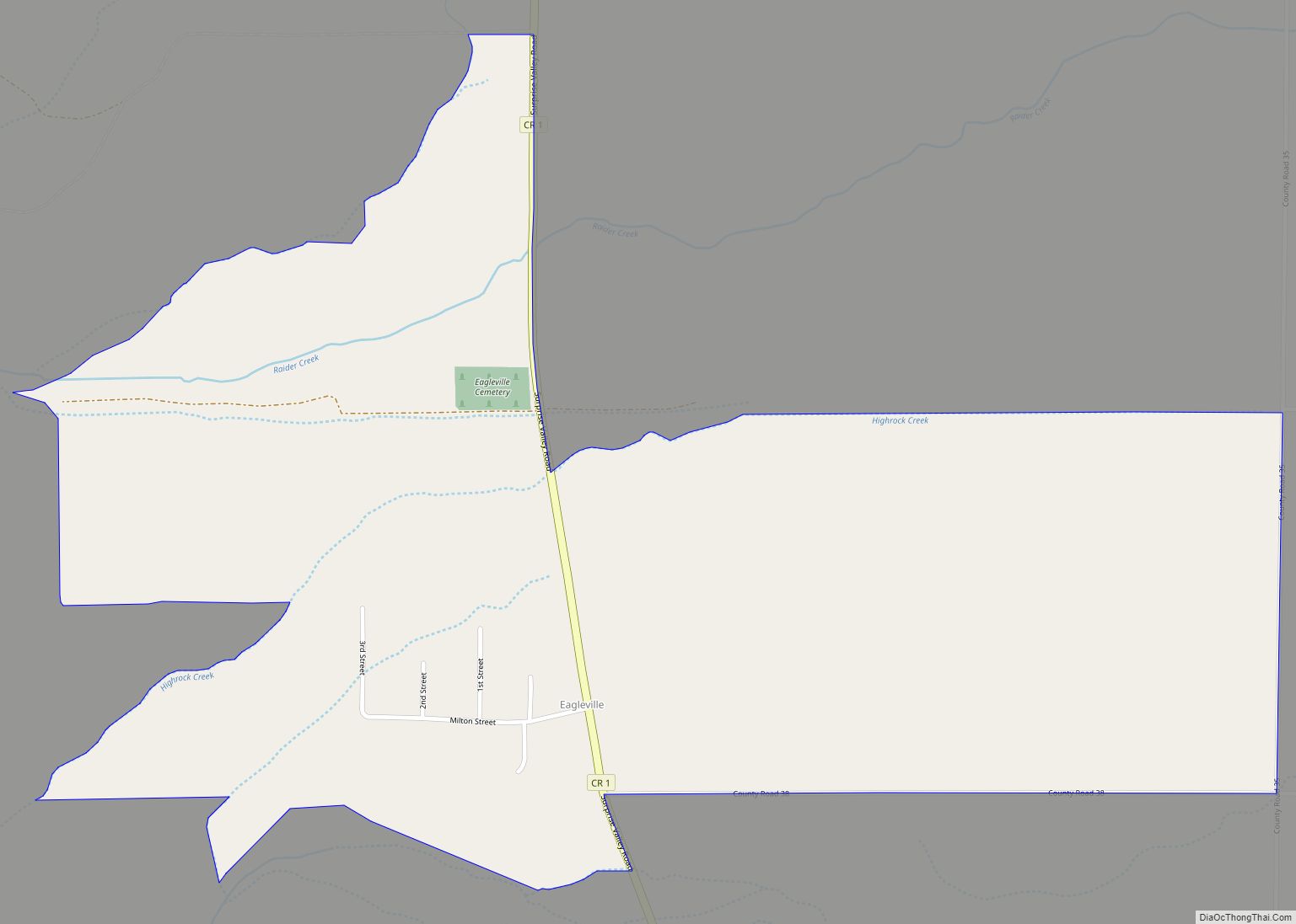
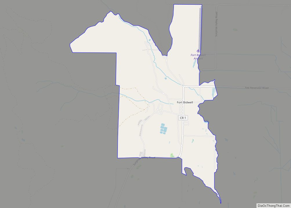
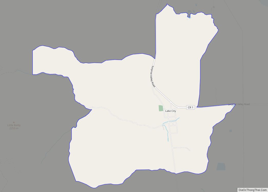
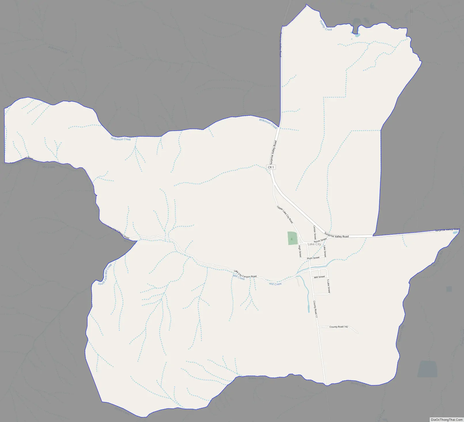
Lake City Road Map
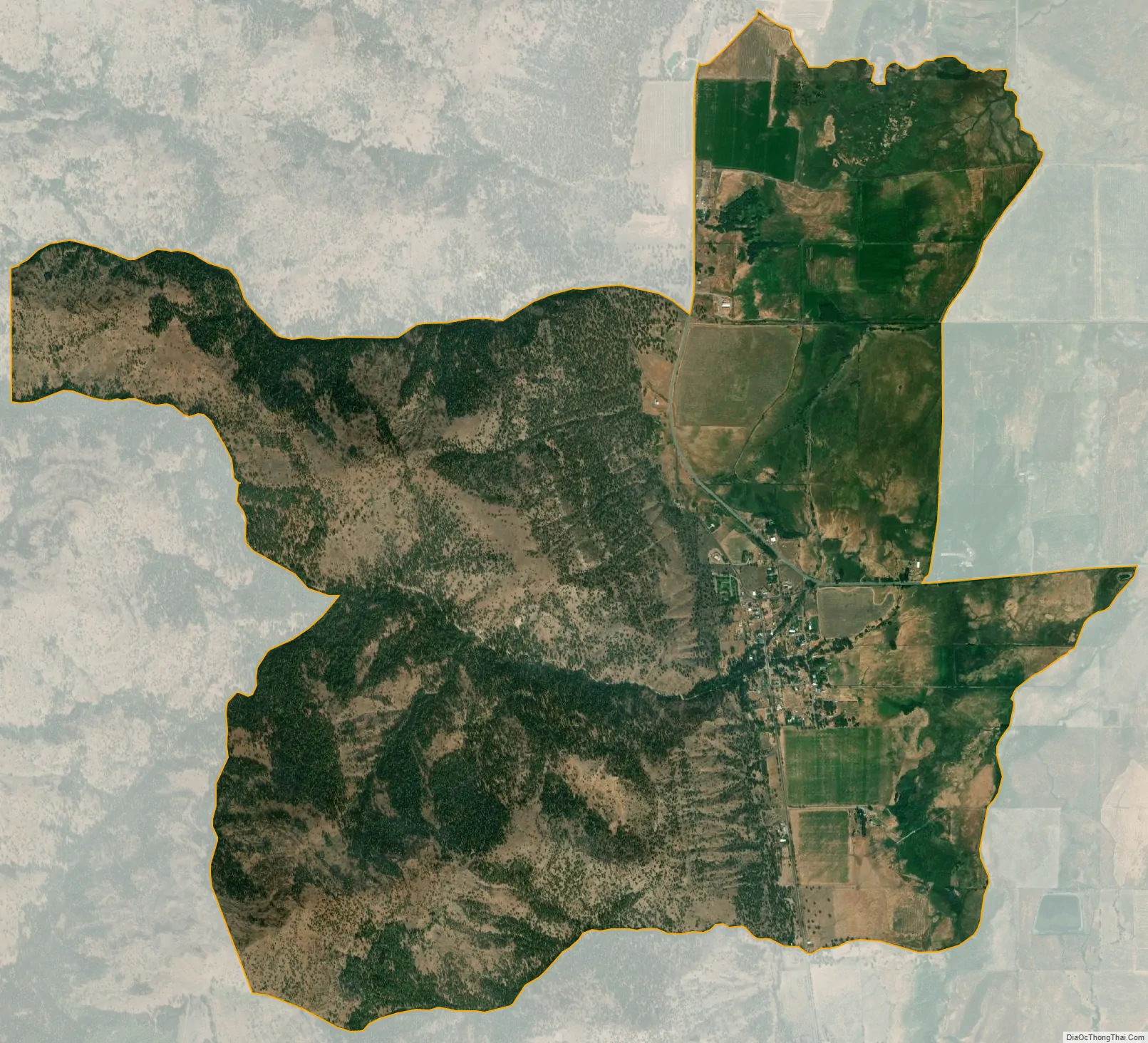
Lake City city Satellite Map
Geography
According to the United States Census Bureau, the CDP covers an area of 5.8 square miles (15.1 km), 99.96% of it land, and 0.04% of it water.
See also
Map of California State and its subdivision:- Alameda
- Alpine
- Amador
- Butte
- Calaveras
- Colusa
- Contra Costa
- Del Norte
- El Dorado
- Fresno
- Glenn
- Humboldt
- Imperial
- Inyo
- Kern
- Kings
- Lake
- Lassen
- Los Angeles
- Madera
- Marin
- Mariposa
- Mendocino
- Merced
- Modoc
- Mono
- Monterey
- Napa
- Nevada
- Orange
- Placer
- Plumas
- Riverside
- Sacramento
- San Benito
- San Bernardino
- San Diego
- San Francisco
- San Joaquin
- San Luis Obispo
- San Mateo
- Santa Barbara
- Santa Clara
- Santa Cruz
- Shasta
- Sierra
- Siskiyou
- Solano
- Sonoma
- Stanislaus
- Sutter
- Tehama
- Trinity
- Tulare
- Tuolumne
- Ventura
- Yolo
- Yuba
- Alabama
- Alaska
- Arizona
- Arkansas
- California
- Colorado
- Connecticut
- Delaware
- District of Columbia
- Florida
- Georgia
- Hawaii
- Idaho
- Illinois
- Indiana
- Iowa
- Kansas
- Kentucky
- Louisiana
- Maine
- Maryland
- Massachusetts
- Michigan
- Minnesota
- Mississippi
- Missouri
- Montana
- Nebraska
- Nevada
- New Hampshire
- New Jersey
- New Mexico
- New York
- North Carolina
- North Dakota
- Ohio
- Oklahoma
- Oregon
- Pennsylvania
- Rhode Island
- South Carolina
- South Dakota
- Tennessee
- Texas
- Utah
- Vermont
- Virginia
- Washington
- West Virginia
- Wisconsin
- Wyoming