Alum Rock (/ˈæləm/) is a district of San Jose, California, located in East San Jose. Formerly an independent town, it has been a neighborhood of San Jose since the 1950s, though some portions are still unincorporated as a census-designated place. Alum Rock is one of San Jose’s most notable and historic Chicano/Mexican-American districts. It is home to Alum Rock Park, the oldest municipal park in California and one of the largest in the country.
| Name: | Alum Rock CDP |
|---|---|
| LSAD Code: | 57 |
| LSAD Description: | CDP (suffix) |
| State: | California |
| County: | Santa Clara County |
| FIPS code: | 0601458 |
Online Interactive Map
Click on ![]() to view map in "full screen" mode.
to view map in "full screen" mode.
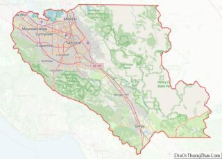
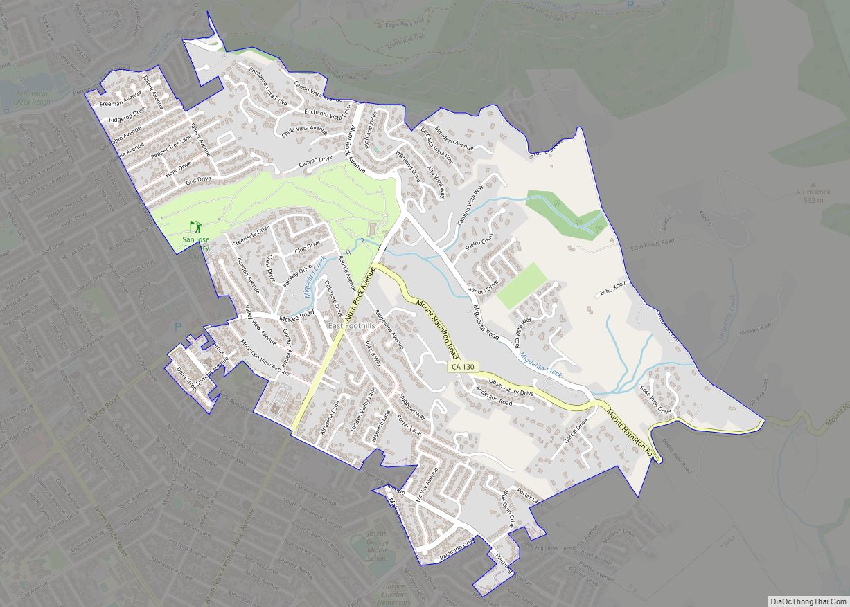
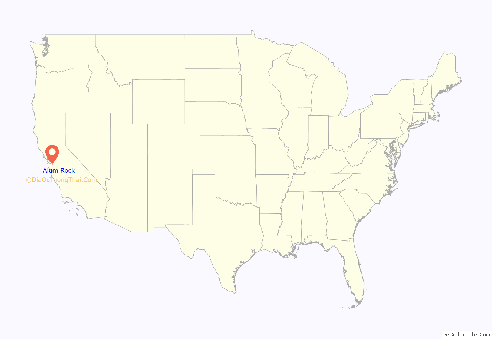
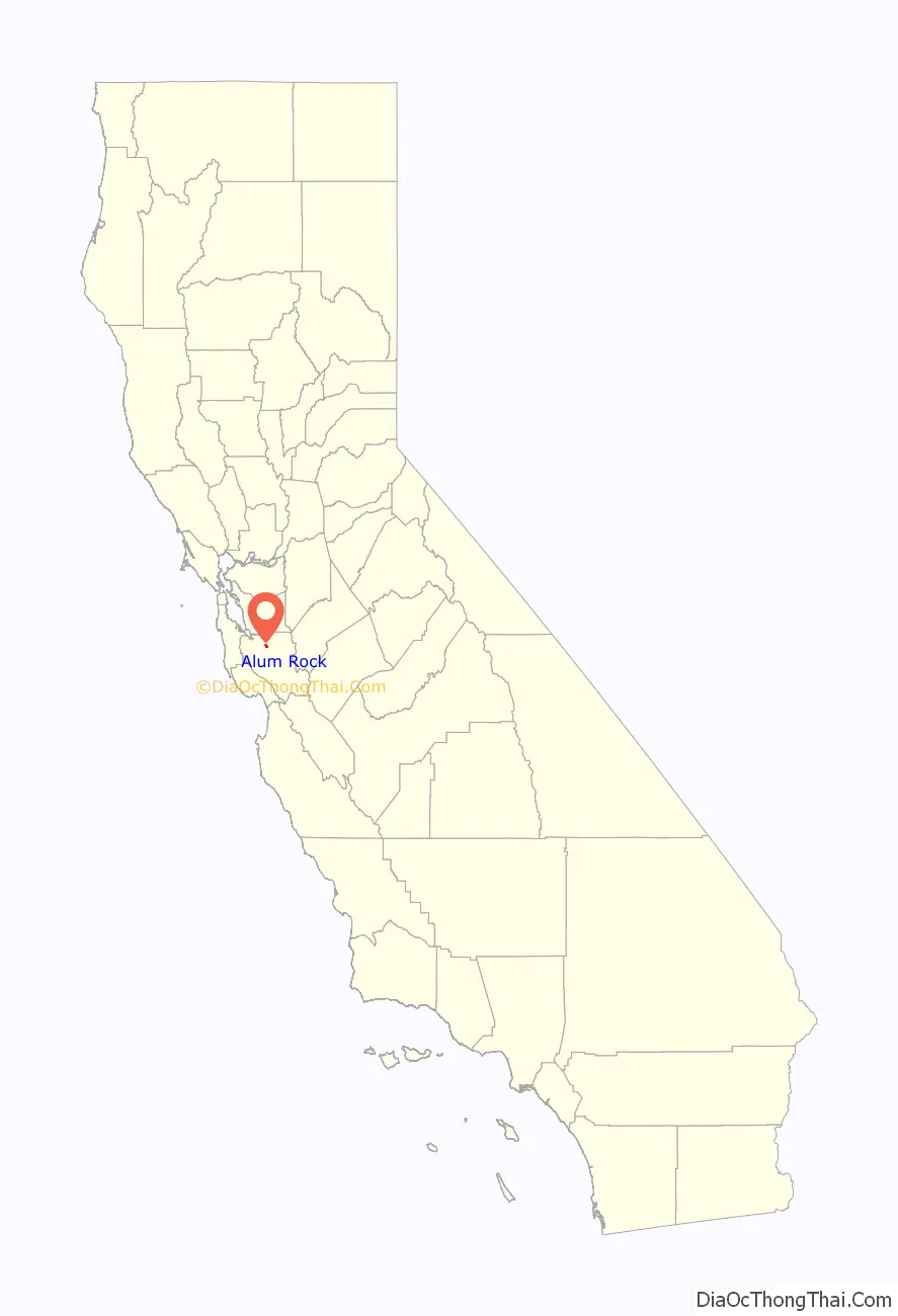
Alum Rock location map. Where is Alum Rock CDP?
History
Alum Rock was named after a rock formerly thought to be composed of alum in nearby Alum Rock Park.
In the 19th century and early 20th century Alum Rock was mostly fruit orchard land. During the 1940s and 1950s, developers began building housing and formed the community of Alum Rock. During that time, Alum Rock Avenue and a passenger railroad passed through the town on the way to Alum Rock Park.
In the 1980s and 1990s, the neighborhood became older and increasingly populated with Latino immigrants as “white flight” affected the area of East San Jose. Today, Alum Rock remains a distinct community separated from the rest of San Jose.
The magnitude 5.6 Alum Rock earthquake occurred just northeast of the community on October 30, 2007, the strongest to hit the region since the 1989 Loma Prieta earthquake. No significant damage or injuries were reported.
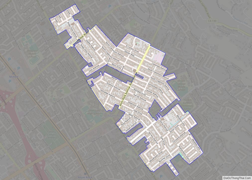
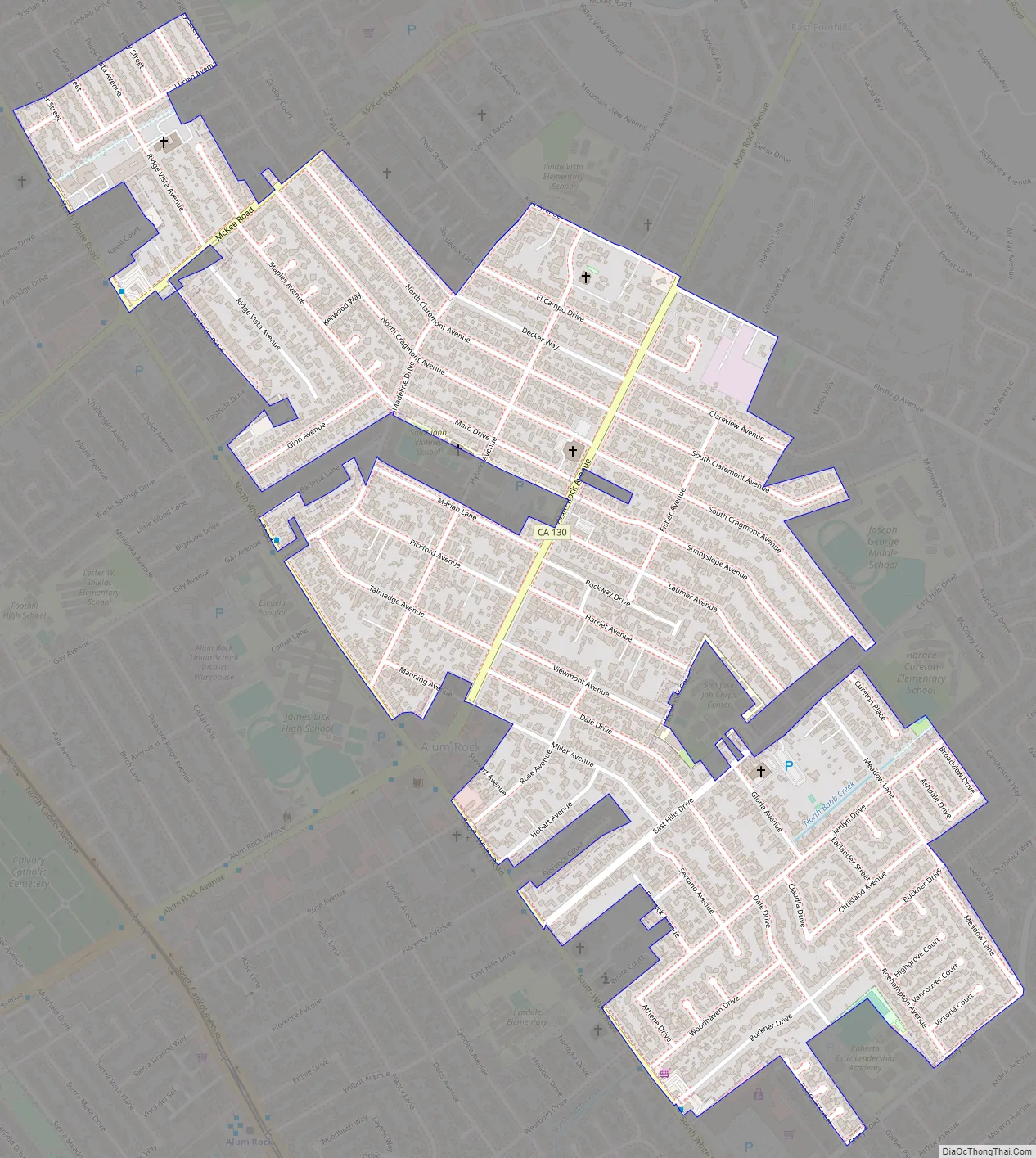
Alum Rock Road Map
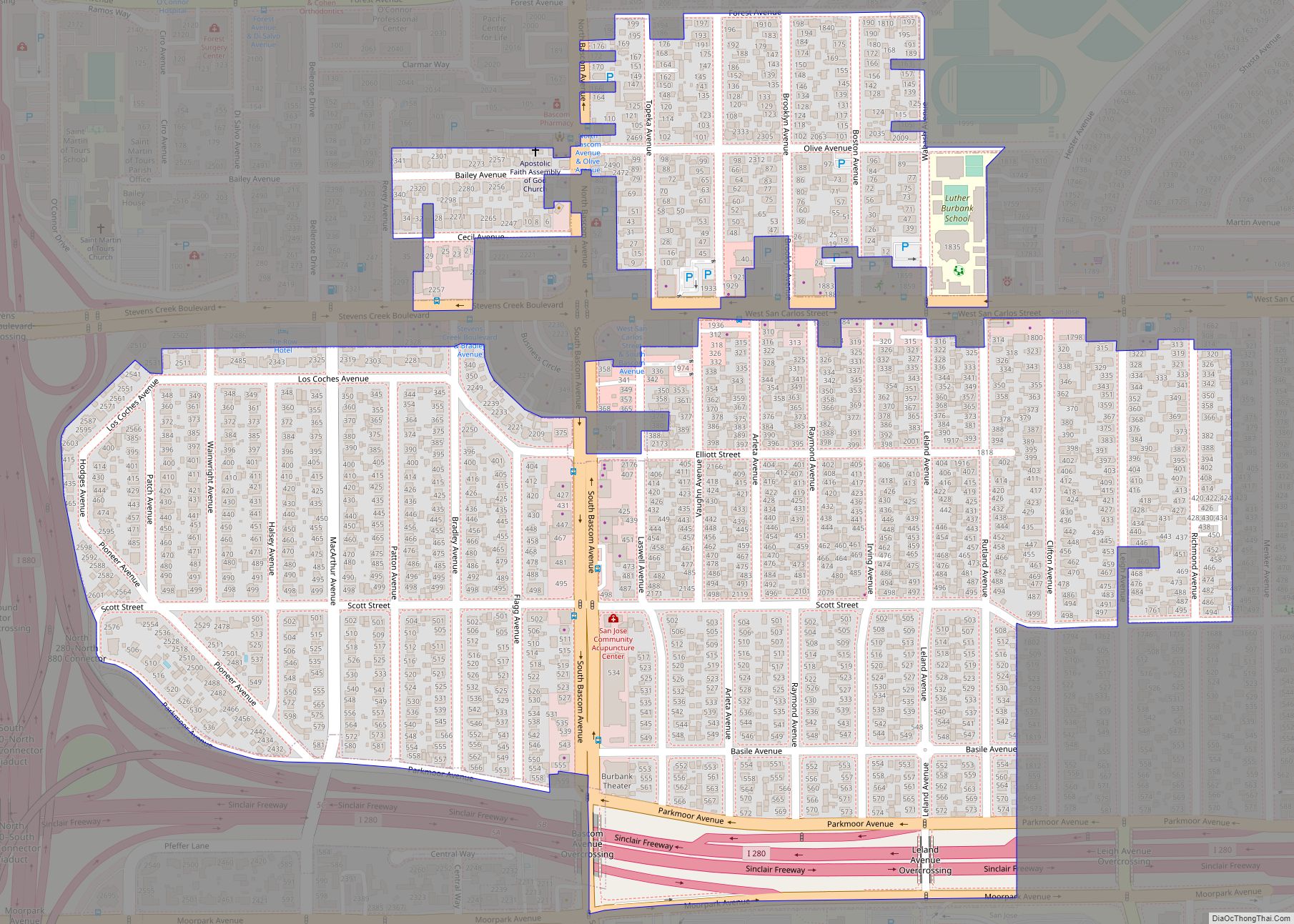
Alum Rock city Satellite Map
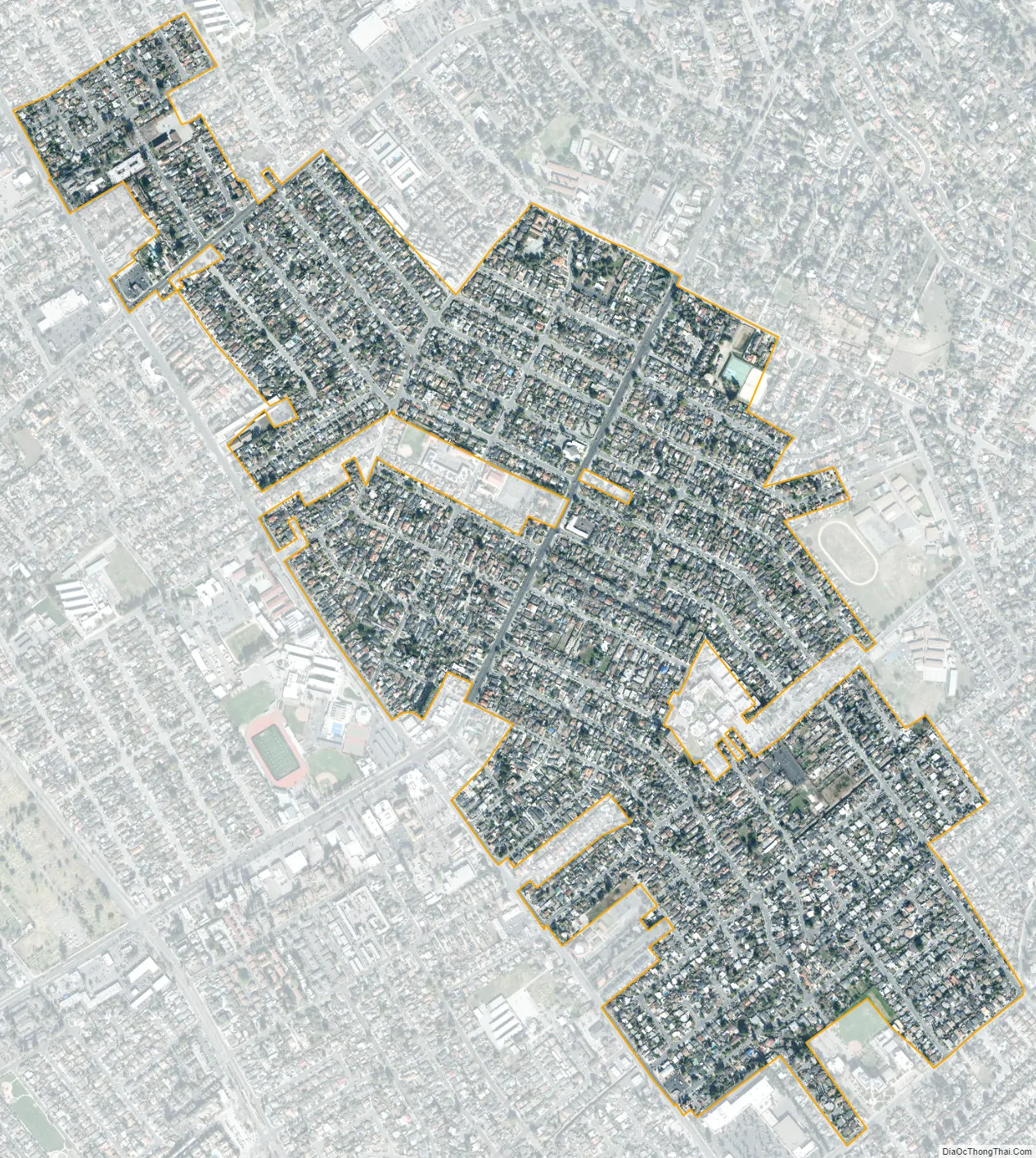
Geography
Alum Rock is a vast district of East San Jose, made up of numerous smaller neighborhoods. Neighborhoods include Little Portugal, Little Saigon, Mayfair, King & Story, East Foothills, Alum Rock Village, Mount Pleasant, among others.
Alum Rock is located north of the Evergreen district, south of the Berryessa district, and east of Downtown San Jose. Alum Rock is bound by the Diablo Range to the east, Coyote Creek to the west, Mabury Road to the north and Ocala Avenue to the south.
See also
Map of California State and its subdivision:- Alameda
- Alpine
- Amador
- Butte
- Calaveras
- Colusa
- Contra Costa
- Del Norte
- El Dorado
- Fresno
- Glenn
- Humboldt
- Imperial
- Inyo
- Kern
- Kings
- Lake
- Lassen
- Los Angeles
- Madera
- Marin
- Mariposa
- Mendocino
- Merced
- Modoc
- Mono
- Monterey
- Napa
- Nevada
- Orange
- Placer
- Plumas
- Riverside
- Sacramento
- San Benito
- San Bernardino
- San Diego
- San Francisco
- San Joaquin
- San Luis Obispo
- San Mateo
- Santa Barbara
- Santa Clara
- Santa Cruz
- Shasta
- Sierra
- Siskiyou
- Solano
- Sonoma
- Stanislaus
- Sutter
- Tehama
- Trinity
- Tulare
- Tuolumne
- Ventura
- Yolo
- Yuba
- Alabama
- Alaska
- Arizona
- Arkansas
- California
- Colorado
- Connecticut
- Delaware
- District of Columbia
- Florida
- Georgia
- Hawaii
- Idaho
- Illinois
- Indiana
- Iowa
- Kansas
- Kentucky
- Louisiana
- Maine
- Maryland
- Massachusetts
- Michigan
- Minnesota
- Mississippi
- Missouri
- Montana
- Nebraska
- Nevada
- New Hampshire
- New Jersey
- New Mexico
- New York
- North Carolina
- North Dakota
- Ohio
- Oklahoma
- Oregon
- Pennsylvania
- Rhode Island
- South Carolina
- South Dakota
- Tennessee
- Texas
- Utah
- Vermont
- Virginia
- Washington
- West Virginia
- Wisconsin
- Wyoming