Avocado Heights (pronunciation) is an unincorporated census-designated place (CDP) in the San Gabriel Valley of Los Angeles County, California, United States. It is almost entirely surrounded by the City of Industry with only a small strip of unincorporated Los Angeles County separating it from South El Monte. It is in close proximity to both the Pomona (SR-60) and San Gabriel (I-605) freeways. To the west is the San Gabriel River and the California Country Club. Avocado Heights is approximately 15 miles (24 km) from the downtown Los Angeles Civic Center. The population was 15,411 at the 2010 census, up from 15,148 at the 2000 census.
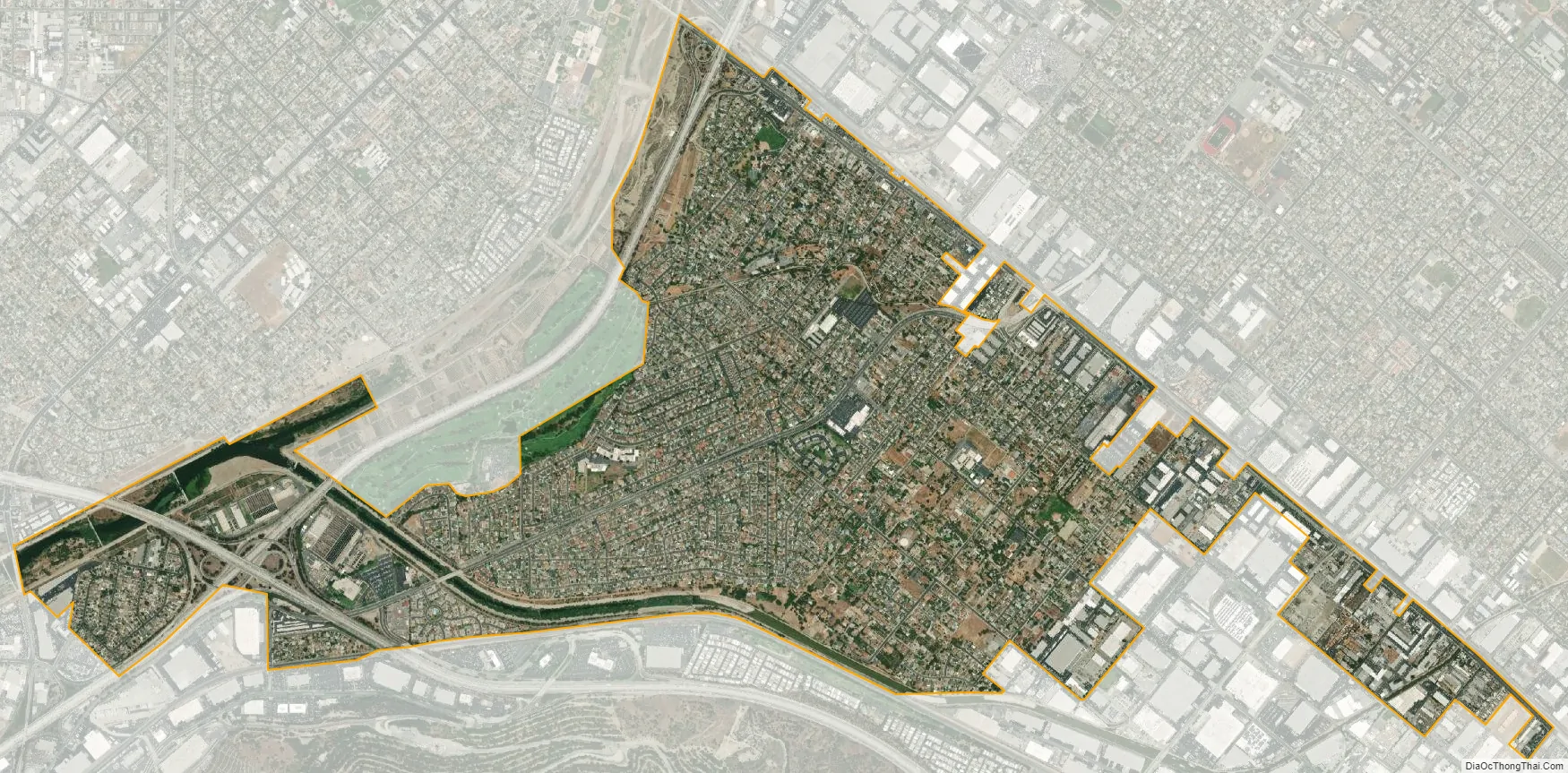
A significant portion of Avocado Heights remains equestrian and semi-rural, with many homes on lots of 0.5 acres 21,780 square feet (2,023 m) or more. The proximity of polluting industries in what became the City of Industry, as well as the Puente Hills Landfill, suppressed property values throughout the post-World War II era—discouraging the development that transformed most of the San Gabriel Valley into a relatively densely developed suburban area.
| Name: | Avocado Heights CDP |
|---|---|
| LSAD Code: | 57 |
| LSAD Description: | CDP (suffix) |
| State: | California |
| County: | Los Angeles County |
| Elevation: | 338 ft (103 m) |
| Total Area: | 2.25 sq mi (5.84 km²) |
| Land Area: | 2.25 sq mi (5.83 km²) |
| Water Area: | 0.00 sq mi (0.01 km²) 4.77% |
| Total Population: | 13,317 |
| Population Density: | 5,916.04/sq mi (2,284.54/km²) |
| ZIP code: | 91746 |
| Area code: | 626 |
| FIPS code: | 0603344 |
| GNISfeature ID: | 1724314 |
Online Interactive Map
Click on ![]() to view map in "full screen" mode.
to view map in "full screen" mode.
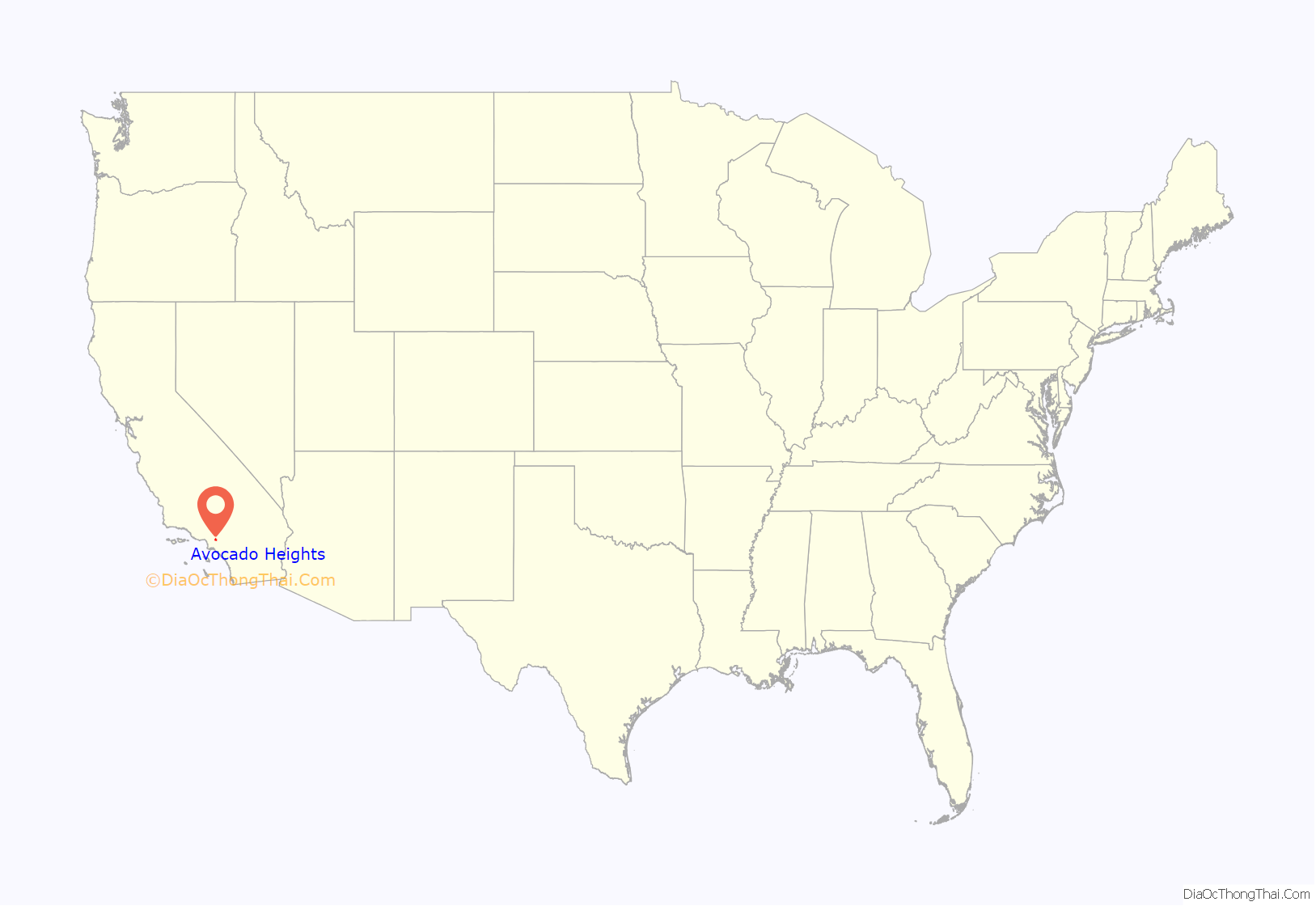
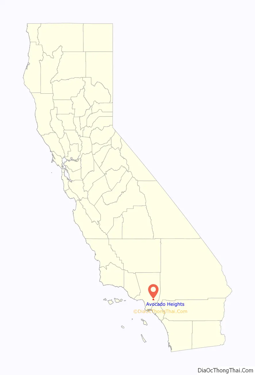
Avocado Heights location map. Where is Avocado Heights CDP?
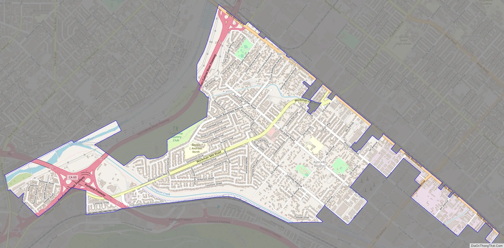
Avocado Heights Road Map
Avocado Heights city Satellite Map
Geography
Avocado Heights is located at 34°2′19″N 118°0′16″W / 34.03861°N 118.00444°W / 34.03861; -118.00444 (34.038610, −118.004575), or about 1.7 miles (2.7 km) southeast of El Monte. According to the United States Census Bureau, the CDP has a total area of 2.8 square miles (7.3 km). 2.7 square miles (7.0 km) of it is land, and 0.1 square miles (0.26 km) of it (4.77%) is water.
The primary thoroughfare is Don Julian Road, named for the nickname given to early Anglo settler William Workman by local Californios; his homestead lies on Don Julian Road just to the east in Industry. The community is served by Don Julian Elementary School, which is part of the Bassett Unified School District.
See also
Map of California State and its subdivision:- Alameda
- Alpine
- Amador
- Butte
- Calaveras
- Colusa
- Contra Costa
- Del Norte
- El Dorado
- Fresno
- Glenn
- Humboldt
- Imperial
- Inyo
- Kern
- Kings
- Lake
- Lassen
- Los Angeles
- Madera
- Marin
- Mariposa
- Mendocino
- Merced
- Modoc
- Mono
- Monterey
- Napa
- Nevada
- Orange
- Placer
- Plumas
- Riverside
- Sacramento
- San Benito
- San Bernardino
- San Diego
- San Francisco
- San Joaquin
- San Luis Obispo
- San Mateo
- Santa Barbara
- Santa Clara
- Santa Cruz
- Shasta
- Sierra
- Siskiyou
- Solano
- Sonoma
- Stanislaus
- Sutter
- Tehama
- Trinity
- Tulare
- Tuolumne
- Ventura
- Yolo
- Yuba
- Alabama
- Alaska
- Arizona
- Arkansas
- California
- Colorado
- Connecticut
- Delaware
- District of Columbia
- Florida
- Georgia
- Hawaii
- Idaho
- Illinois
- Indiana
- Iowa
- Kansas
- Kentucky
- Louisiana
- Maine
- Maryland
- Massachusetts
- Michigan
- Minnesota
- Mississippi
- Missouri
- Montana
- Nebraska
- Nevada
- New Hampshire
- New Jersey
- New Mexico
- New York
- North Carolina
- North Dakota
- Ohio
- Oklahoma
- Oregon
- Pennsylvania
- Rhode Island
- South Carolina
- South Dakota
- Tennessee
- Texas
- Utah
- Vermont
- Virginia
- Washington
- West Virginia
- Wisconsin
- Wyoming


