Banning is a city in Riverside County, California, United States. The population was 29,505 as of the 2020 census, down from 29,603 at the 2010 census. It is situated in the San Gorgonio Pass, also known as Banning Pass. It is named for Phineas Banning, stagecoach line owner and the “Father of the Port of Los Angeles.”
Banning shares geographic and regional features with its western neighbor, the city of Beaumont. Banning and Beaumont have been rapidly growing in size and population since the 1990s. Both cities are about 80 miles east of downtown Los Angeles and 30 miles west of Palm Springs, each connected by freeway and railroad.
| Name: | Banning city |
|---|---|
| LSAD Code: | 25 |
| LSAD Description: | city (suffix) |
| State: | California |
| County: | Riverside County |
| Incorporated: | February 6, 1913 |
| Elevation: | 2,349 ft (716 m) |
| Total Area: | 23.24 sq mi (60.18 km²) |
| Land Area: | 23.24 sq mi (60.18 km²) |
| Water Area: | 0.00 sq mi (0.00 km²) 0% |
| Total Population: | 29,505 |
| Population Density: | 1,269.74/sq mi (490.25/km²) |
| ZIP code: | 92220 |
| Area code: | 951 |
| FIPS code: | 0603820 |
| Website: | www.banning.ca.us |
Online Interactive Map
Click on ![]() to view map in "full screen" mode.
to view map in "full screen" mode.
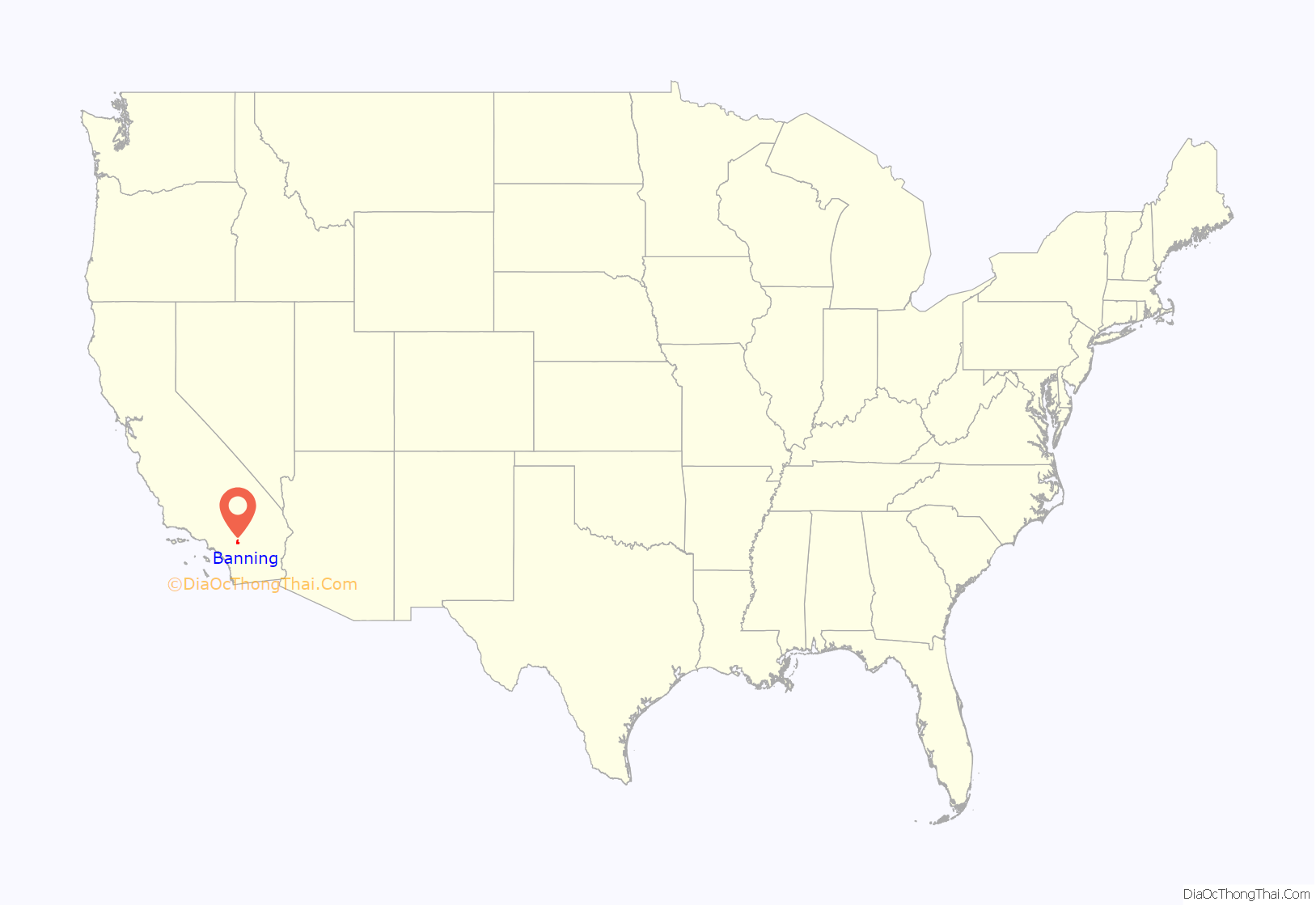
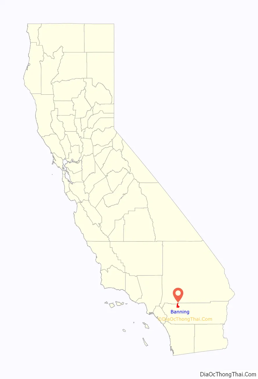
Banning location map. Where is Banning city?
History
Etymology
Initially named Moore City, for and by Ransom B. Moore, within only a few months the town was renamed for Phineas Banning, “Father of the Port of Los Angeles”. Banning had pastured sheep in the San Gorgonio Pass area, and operated a stagecoach that ran through the Pass.
Early history
The area, up to the mid-19th century, was inhabited by the Cahuilla people, though the region around Banning was originally Maringayam (Serrano), and the Cahuilla expanded into the pass only in historic times. In 1824, the Mission San Gabriel Arcángel established the Rancho San Gorgonio in the pass. The first Anglo to settle in the area was Dr. Isaac Smith in 1853. In 1863, a smallpox epidemic further diminished the Cahuilla. The government created Indian reservations for the Cahuilla in 1877.
The settlement that was to become Banning developed in coincidence with the start of the Colorado River Gold Rush. The Bradshaw Trail, which passed through the area in 1862, was a wagon road to the gold boomtowns of the Arizona Territory. Gilman’s Ranch, north of downtown, served as a station for the stagecoach lines on this road. The railroad followed, passing through the town in 1876. The Southern Pacific (later purchased by Union Pacific) railroad was a major contributor to the area’s growth. U.S. Route 99 was built in 1923, followed by U.S. Route 60/70 in 1936, and subsequently Interstate 10.
Banning borders the Morongo Indian Reservation, home to the Morongo Band of Cahuilla (Mission) Indians. Relations with reservation residents have been strained by disputes over water rights. Dorothy Ramon’s book Always Believe (published 2000) depicts a Maringayam’s views on Banning and reservation life.
Prior to the name Banning, the settlement was called Moore City. Ransom B. Moore operated a large cattle ranch and was later a member of the Los Angeles County Board of Supervisors, settling in the area and nearby San Gorgonio mountains in the early 1860s. Moore sold his holdings and relocated to central Arizona in 1883.
The town of Banning was incorporated on February 6, 1913.
Almond production
In the early 20th century, the area immediately around Banning was considered well fitted to almond culture, and was known as the oldest almond growing district in southern California.
Indian School and cemetery
The St. Boniface Indian Industrial School was opened in 1890, providing vocational education to Cahuilla, Serrano, Luiseño, Kumeyaay, and other American Indians. Bishop Francisco Mora y Borrell authorized the school and Mother Katharine Drexel provided funding to the Bureau of Catholic Indian Missions for purchase of the land, construction, and operations. Over its history, about 8,000 students attended the school which was demolished in 1974. A small abandoned cemetery remains.
World War II
During World War II, Banning was the site of the 1,000-bed Banning General Hospital. It supported training at the Desert Training Center and was later used as a naval convalescent hospital. The facilities were dismantled in 1948.
In 1942 the citizens of Banning raised funds for the purchase of an M3 Stuart tank to support the war effort. After the war the tank was given to the South African defense force. The tank, named “City of Johannesburg”, is preserved at a local museum in Richmond, Natal Province, South Africa.
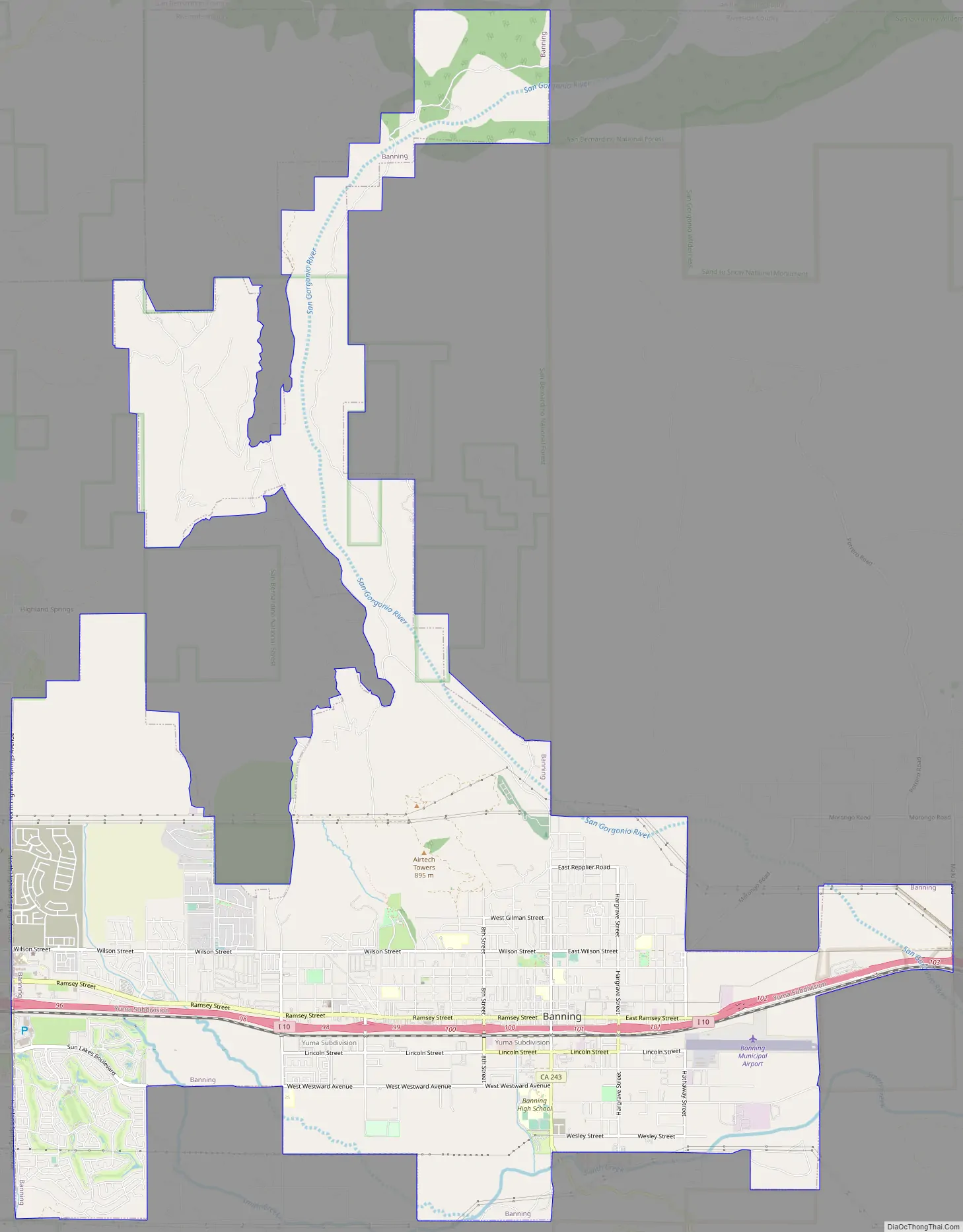
Banning Road Map
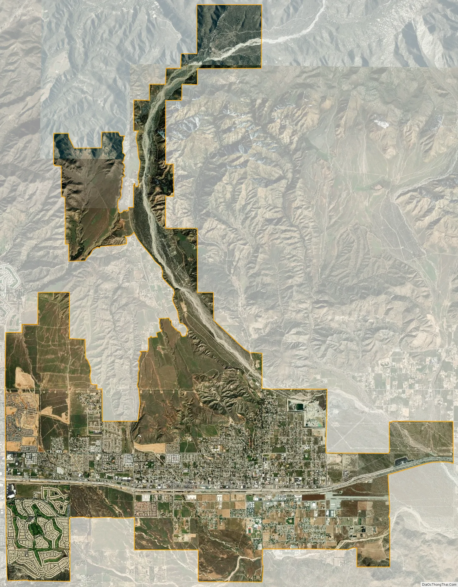
Banning city Satellite Map
Geography
Banning is located at 33°55′54″N 116°53′51″W / 33.93167°N 116.89750°W / 33.93167; -116.89750 (33.931729, -116.897557).
According to the United States Census Bureau, the city has a total area of 23.1 square miles (60 km), all of it land.
Banning’s elevation is approximately 2,300 feet (700 m) above sea level, which gives it a cooler climate in contrast to the county seat of Riverside at 800 feet (240 m) above sea level and the Coachella Valley of the Colorado Desert to the east.
Banning is traversed by the San Andreas Fault which created the pass in which the city is situated.
Banning is 25 miles (40 km) west of Palm Springs and 100 miles (160 km) east of Los Angeles.
Climate
According to the Köppen Climate Classification system, Banning has a warm-summer Mediterranean climate, abbreviated “Csa” on climate maps.
See also
Map of California State and its subdivision:- Alameda
- Alpine
- Amador
- Butte
- Calaveras
- Colusa
- Contra Costa
- Del Norte
- El Dorado
- Fresno
- Glenn
- Humboldt
- Imperial
- Inyo
- Kern
- Kings
- Lake
- Lassen
- Los Angeles
- Madera
- Marin
- Mariposa
- Mendocino
- Merced
- Modoc
- Mono
- Monterey
- Napa
- Nevada
- Orange
- Placer
- Plumas
- Riverside
- Sacramento
- San Benito
- San Bernardino
- San Diego
- San Francisco
- San Joaquin
- San Luis Obispo
- San Mateo
- Santa Barbara
- Santa Clara
- Santa Cruz
- Shasta
- Sierra
- Siskiyou
- Solano
- Sonoma
- Stanislaus
- Sutter
- Tehama
- Trinity
- Tulare
- Tuolumne
- Ventura
- Yolo
- Yuba
- Alabama
- Alaska
- Arizona
- Arkansas
- California
- Colorado
- Connecticut
- Delaware
- District of Columbia
- Florida
- Georgia
- Hawaii
- Idaho
- Illinois
- Indiana
- Iowa
- Kansas
- Kentucky
- Louisiana
- Maine
- Maryland
- Massachusetts
- Michigan
- Minnesota
- Mississippi
- Missouri
- Montana
- Nebraska
- Nevada
- New Hampshire
- New Jersey
- New Mexico
- New York
- North Carolina
- North Dakota
- Ohio
- Oklahoma
- Oregon
- Pennsylvania
- Rhode Island
- South Carolina
- South Dakota
- Tennessee
- Texas
- Utah
- Vermont
- Virginia
- Washington
- West Virginia
- Wisconsin
- Wyoming


