Beaumont is a city in Riverside County, California, United States, located at the summit of the San Gorgonio Pass, between the San Bernardino Mountains and Mount San Gorgonio to the north, and the San Jacinto Mountains and San Jacinto Peak to the south. Early native American inhabitants included the Serrano and Cahuilla people, who still live on reservation lands in the area.
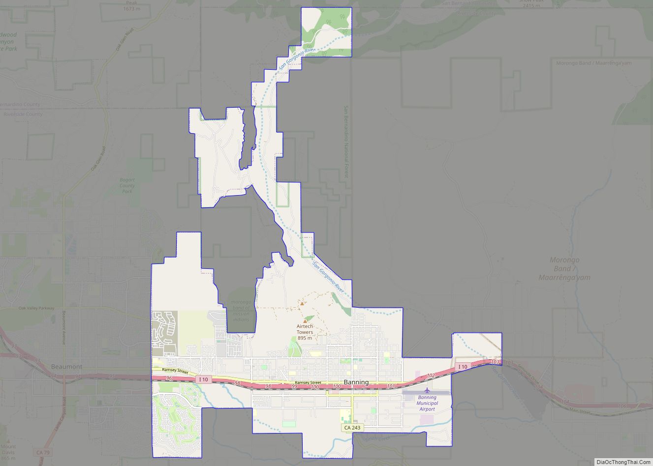
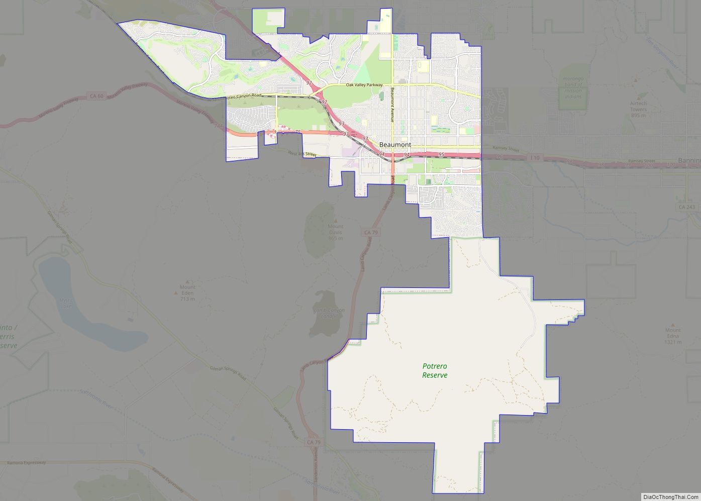
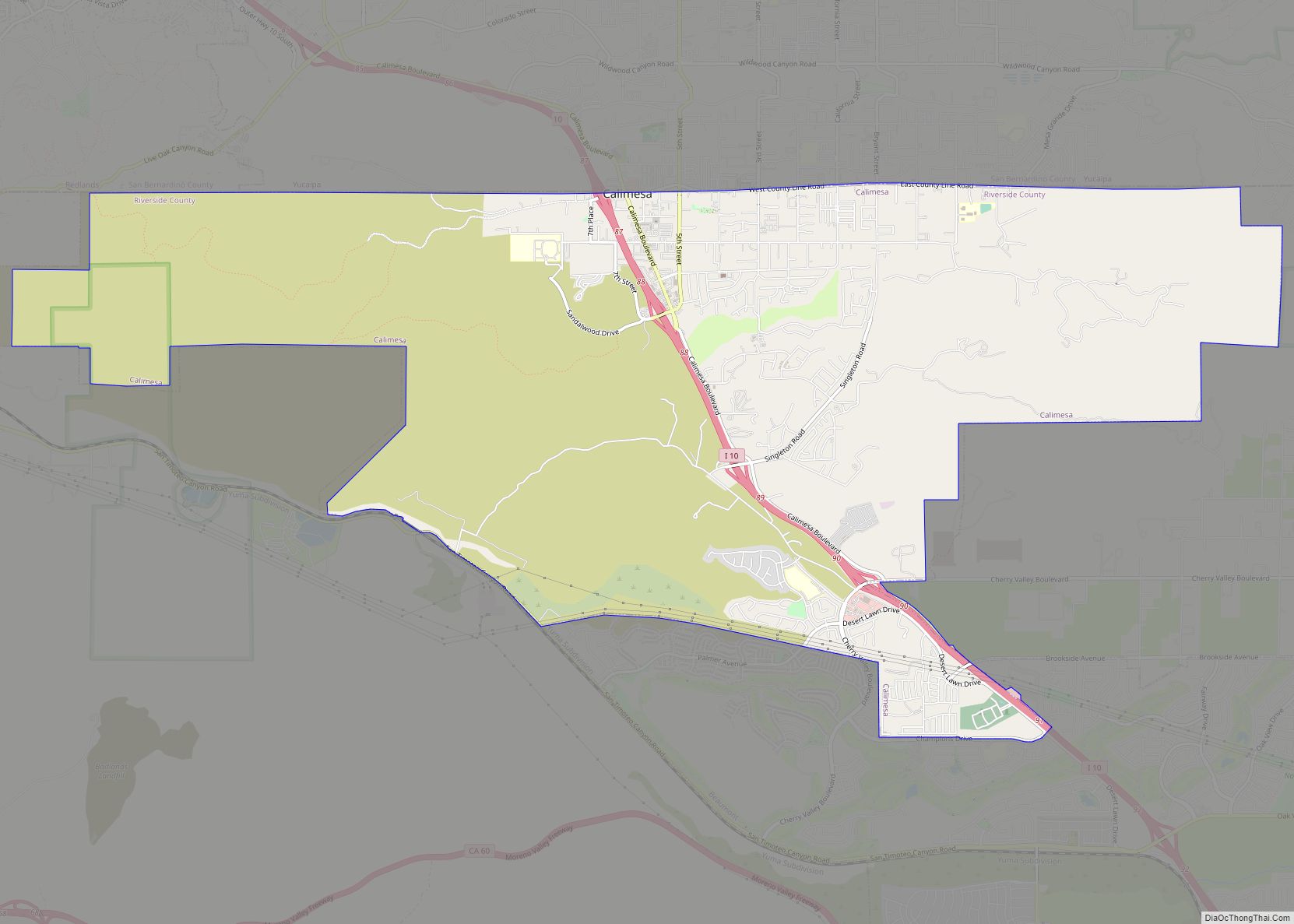
Beaumont is bordered on the east by the city of Banning, on the south by the city of San Jacinto, on the west by the city of Calimesa, and on the north by the unincorporated community of Cherry Valley.
| Name: | Beaumont city |
|---|---|
| LSAD Code: | 25 |
| LSAD Description: | city (suffix) |
| State: | California |
| County: | Riverside County |
| Incorporated: | November 18, 1912 |
| Elevation: | 2,612 ft (796 m) |
| Total Area: | 30.33 sq mi (78.56 km²) |
| Land Area: | 30.32 sq mi (78.52 km²) |
| Water Area: | 0.01 sq mi (0.04 km²) 0.04% |
| Total Population: | 53,036 |
| Population Density: | 1,749.38/sq mi (675.43/km²) |
| ZIP code: | 92223 |
| Area code: | 951 |
| FIPS code: | 0604758 |
| Website: | beaumontca.gov |
Online Interactive Map
Click on ![]() to view map in "full screen" mode.
to view map in "full screen" mode.
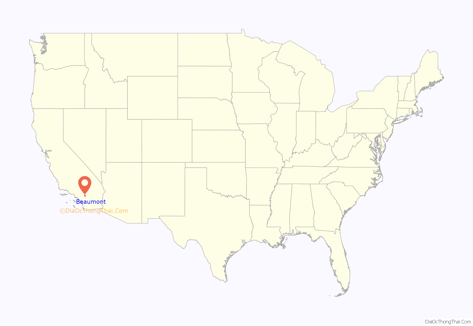
Beaumont location map. Where is Beaumont city?
History
Etymology
Beaumont, French for “Beautiful Mountain”, received its name in 1887 from Henry C. Sigler, president of the Southern California Investment Company, for its view of Mount San Jacinto.
Early history
During the early 1850s, several surveying parties passed through the vicinity of present-day Beaumont in search of a pass that would connect the east to the Pacific Ocean. The San Gorgonio Pass was first surveyed in 1853 during an expedition under Lieutenant R.S. Williamson, who was sent by the United States government. Its location enthralled many who now saw that connecting to the ocean was a feasible measure and led to plans for constructing a railway from the Missouri River to the Pacific. By the early 1860s, stagecoach lines were providing service through the pass area, and a stage stop was established, named Edgar Station, after a physician from one of the expedition parties who made his home in the area.
In 1875 when the Southern Pacific Railroad laid tracks through the modern-day location of Beaumont, they established a rail station named Summit Station. This served as a rest stop for railway travelers from the Mojave Desert on their way to the Los Angeles vicinity. In 1884 a real estate development company established a town named San Gorgonio. A second real estate development company purchased the town in 1887 and renamed the town Beaumont, which was incorporated on November 18, 1912.
By 1927, the small city had a population of 857 with five churches, a public library, a bank, a high school, two local newspapers, several lumber yards, commercial packing houses, and a dehydrating plant. The city, one of Riverside County’s largest apple growers, was dubbed “the land of the big red apple” by local residents in its early years. Apple orchards in the area expanded to a $200,000 industry by 1930. Beaumont saw a rise in visitors and residents as the nearby city of Palm Springs grew to become a highly popular resort spot during and after the 1930s; Beaumont followed suit and attempted to capitalize on the increasing tourism by establishing guest ranches. According to an early 1930s/1940s postcard, the Highland Springs Guest Ranch of Beaumont offered its patrons horseback riding, tennis, archery, horseshoes, swimming, shuffle-board, ping pong, baseball, ballroom dancing, massages, basketball, and lodging accommodations.
20th century growth
During the Cold War, a Lockheed rocket test site operated by Simi Valley–based Rocketdyne was established south of the town in Potrero Canyon. In late 2003, the majority of the Potrero Canyon site was sold to the state of California. Toxic chemicals used in rocket fuel and site test activities have been found in the soil and groundwater at the site, and planning is underway to begin cleanup sometime in the next few years. Plans are being developed by the California Department of Fish and Game to allow public access.
With the housing boom in the early decade, the urban sprawl reached the last remaining valleys of the Inland Empire. Since 2000, with Beaumont’s proximity to Los Angeles, various Southern California residents have moved to the San Gorgonio Pass region for its low housing cost, causing a 20% jump in the city’s population, making it the fastest growing city in the state. This has concerned many local residents who cite increasing student population in schools, rising demand on the water supply, and increasing traffic through the city on Interstate 10 in both directions. A 2008 study by the Public Policy Institute of California noted that Beaumont and its neighboring communities in the nearby San Jacinto Valley have registered the highest population growth throughout Riverside County and that the region was projected to increase by 4.5% a year to 310,000 by 2015.
Beaumont is home to many master-planned communities. The following communities are currently under construction or have been built: Oak Valley Greens, Three Rings Ranch, Solera by Del Webb (later sold to Pulte Homes Inc.), Olivewood by Taylor Morrison, Sundance and Tournament Hills by Pardee Homes, Four Seasons by K. Hovnanian and Fairway Canyon. Except for Oak Valley Greens, these communities operate under HOAs and are similar to developments in Redlands, Rancho Cucamonga, and some Orange County suburbs.
Corruption allegations
In May 2016, prosecutors announced that they were charging almost all of Beaumont’s former government leadership with corruption they said had been going on for three decades. Seven former officials were arrested and charged with stealing nearly $43 million from city coffers. Former City Manager Alan Kapanicas, former Economic Development Director David William Dillon, former Public Works Director Deepak Moorjani, former Planning Director Ernest Alois Egger, former Finance Director William Kevin Aylward, former City Atty. Joseph Sandy Aklufi and former Police Chief Francis Dennis Coe Jr. were accused of using their public offices to enrich themselves personally and secure interest-free loans for friends and colleagues with taxpayer money. Bail for Kapanicas, Aylward, Aklufi, Dillon, Moorjani and Egger was set at $5 million each, while Coe’s bail was set at $100,000. The criminal probe began in April 2015 when investigators with the Riverside County district attorney’s office and the FBI raided City Hall and seized records, computers and other items. All seven defendants pleaded guilty to offenses in plea bargains during 2017-2018.
Beaumont Road Map
Beaumont city Satellite Map
Geography
Beaumont’s neighboring cities are Banning to the east and Calimesa to the northwest.
With an elevation of 2,500-3,000 feet above sea level, Beaumont is at the peak on the San Gorgonio Pass between San Bernardino and Palm Springs, neighboring the Interstate 10 and State Route 60 freeways. If driving east to Banning or west to Calimesa, drivers can feel a gradual downward slope.
According to the United States Census Bureau, the city has a total area of 30.9 square miles (80 km), of which 99.96% is land and 0.04% is water.
Climate
Beaumont reaches an average high of 95 °F (35 °C) during the summer and an average low of 38 °F (3 °C) during the winter. Due to its higher elevation, it is usually 5-10 degrees Fahrenheit cooler than its neighboring lower-elevation cities, such as Moreno Valley, Hemet, San Jacinto, and the Palm Springs desert area. Snow does fall, but it usually doesn’t stick for more than a couple of hours. According to the Köppen Climate Classification system, Beaumont has a Hot-summer Mediterranean climate, abbreviated “Csa” on climate maps.
Beaumont’s slightly cooler temperatures and less air pollution, relative to its neighboring lower-elevation cities, make it a desirable area for development in the Inland Empire region. However, it is one of the windiest cities in Southern California, along with San Bernardino, Fontana, and Victorville.
Annual precipitation is approximately 19 inches.
See also
Map of California State and its subdivision:- Alameda
- Alpine
- Amador
- Butte
- Calaveras
- Colusa
- Contra Costa
- Del Norte
- El Dorado
- Fresno
- Glenn
- Humboldt
- Imperial
- Inyo
- Kern
- Kings
- Lake
- Lassen
- Los Angeles
- Madera
- Marin
- Mariposa
- Mendocino
- Merced
- Modoc
- Mono
- Monterey
- Napa
- Nevada
- Orange
- Placer
- Plumas
- Riverside
- Sacramento
- San Benito
- San Bernardino
- San Diego
- San Francisco
- San Joaquin
- San Luis Obispo
- San Mateo
- Santa Barbara
- Santa Clara
- Santa Cruz
- Shasta
- Sierra
- Siskiyou
- Solano
- Sonoma
- Stanislaus
- Sutter
- Tehama
- Trinity
- Tulare
- Tuolumne
- Ventura
- Yolo
- Yuba
- Alabama
- Alaska
- Arizona
- Arkansas
- California
- Colorado
- Connecticut
- Delaware
- District of Columbia
- Florida
- Georgia
- Hawaii
- Idaho
- Illinois
- Indiana
- Iowa
- Kansas
- Kentucky
- Louisiana
- Maine
- Maryland
- Massachusetts
- Michigan
- Minnesota
- Mississippi
- Missouri
- Montana
- Nebraska
- Nevada
- New Hampshire
- New Jersey
- New Mexico
- New York
- North Carolina
- North Dakota
- Ohio
- Oklahoma
- Oregon
- Pennsylvania
- Rhode Island
- South Carolina
- South Dakota
- Tennessee
- Texas
- Utah
- Vermont
- Virginia
- Washington
- West Virginia
- Wisconsin
- Wyoming
