Bermuda Dunes is a census-designated place (CDP) in Riverside County, California. The population was 7,282 at the 2010 census. Bermuda Dunes is located near Indio and 19 miles (31 km) east of Palm Springs.
The community’s former name was Myoma. The Bermuda Dunes Country Club was developed in 1958 by Ernie Dunlevie and Ray Ryan; it attracted celebrities such as Clark Gable as members. Bermuda Dunes is served by the Bermuda Dunes Airport.
| Name: | Bermuda Dunes CDP |
|---|---|
| LSAD Code: | 57 |
| LSAD Description: | CDP (suffix) |
| State: | California |
| County: | Riverside County |
| Elevation: | 95 ft (29 m) |
| Total Area: | 2.95 sq mi (7.63 km²) |
| Land Area: | 2.95 sq mi (7.63 km²) |
| Water Area: | 0.00 sq mi (0.00 km²) 0% |
| Total Population: | 8,244 |
| Population Density: | 2,797.42/sq mi (1,080.04/km²) |
| ZIP code: | 92203 |
| FIPS code: | 0606028 |
Online Interactive Map
Click on ![]() to view map in "full screen" mode.
to view map in "full screen" mode.
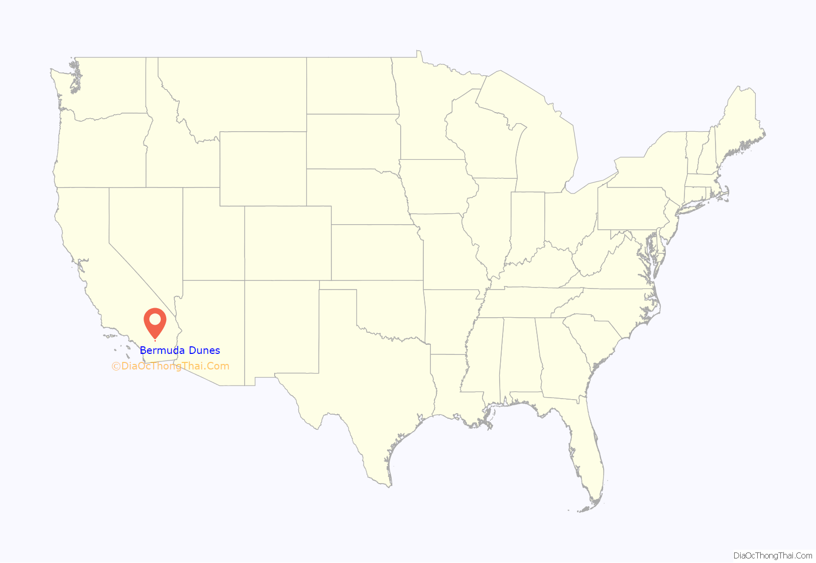
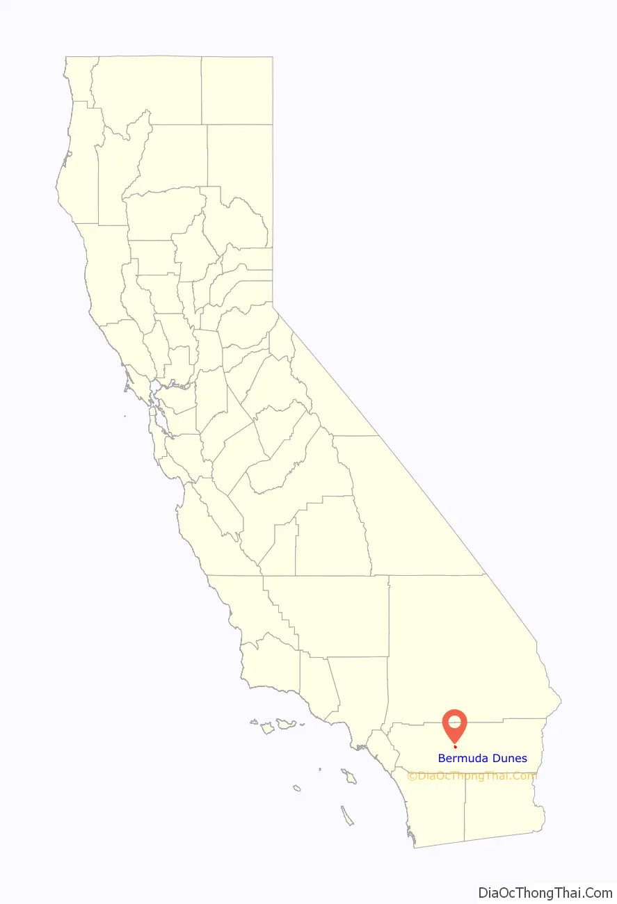
Bermuda Dunes location map. Where is Bermuda Dunes CDP?
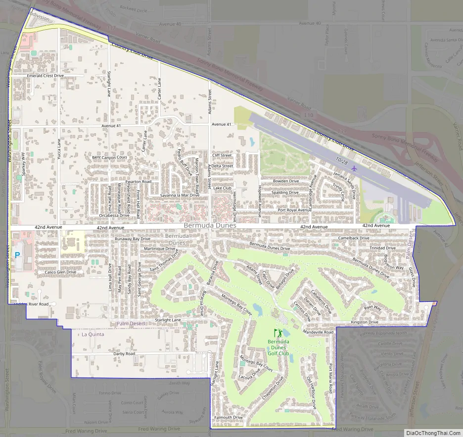
Bermuda Dunes Road Map
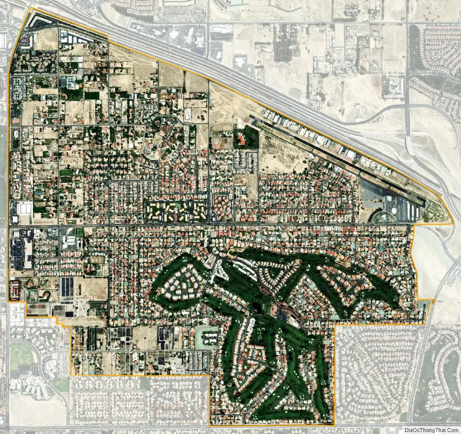
Bermuda Dunes city Satellite Map
Geography
Bermuda Dunes is located at 33°44′40″N 116°17′7″W / 33.74444°N 116.28528°W / 33.74444; -116.28528 (33.745, -116.285).
The CDP’s name originated from the Bermuda Dunes country club, a golf course community designed by William Francis Bell first opened in 1962 and the former site of the Bob Hope Chrysler Golf Classic. There are 10 other golf clubs and communities within the 5-mile (8.0 km) radius, including Sun City Palm Desert. Bermuda Dunes Airport is located in the community.
Public services
The area’s public services: Education – the Desert Sands Unified School District, plus a private school: Christian Schools of the Desert, which is a preschool – grade 12 school. Electricity is provided by the Indio-based Imperial Irrigation District and Southern California Edison across Washington Street. Water is provided by both the IID and the Myoma Dunes Water Company and telephone landlines are provided by Verizon.
According to the United States Census Bureau, the CDP has a total area of 2.9 square miles (7.5 km), all of it land. The official elevation of Bermuda Dunes is 30 feet (9.1 m) above sea level, but the surface drops by over 80 feet (24 m) from west to east.
The distance from Bermuda Dunes to Washington, D.C. is approximately 2,318 miles (3,730 km). The distance to Sacramento, the California state capital, is approximately 507 miles (816 km), and to Los Angeles, the state’s largest city, is 122 miles (196 km). Bermuda Dunes shares two ZIP codes with Indio: 92201 and 92203. The telephone area codes are 760 and 442.
Terrain and climate
Located in the Coachella Valley desert region, Bermuda Dunes is sheltered by the San Jacinto Mountains to the west, the Santa Rosa Mountains to the south and by the Little San Bernardino Mountains to the east. This geography gives Bermuda Dunes its hot, dry climate, with 354 days of sunshine and only 3.44 inches (87.4 mm) of rain annually. Bermuda Dunes has a warm winter/hot summer climate: Its average annual high temperature is 89.5 °F (31.9 °C) and average annual low is 62.1 °F (16.7 °C) but summer highs above 110 °F (43 °C) are common and sometimes exceed 120 °F (49 °C), while summer night lows often stay above 82 °F (28 °C). Winters are warm with daytime highs often between 70–86 °F (21–30 °C) and corresponding night lows falling to 48 °F-68 °F (9 °C-20 °C). The mean annual temperature is 75.8 °F (24.3 °C).
See also
Map of California State and its subdivision:- Alameda
- Alpine
- Amador
- Butte
- Calaveras
- Colusa
- Contra Costa
- Del Norte
- El Dorado
- Fresno
- Glenn
- Humboldt
- Imperial
- Inyo
- Kern
- Kings
- Lake
- Lassen
- Los Angeles
- Madera
- Marin
- Mariposa
- Mendocino
- Merced
- Modoc
- Mono
- Monterey
- Napa
- Nevada
- Orange
- Placer
- Plumas
- Riverside
- Sacramento
- San Benito
- San Bernardino
- San Diego
- San Francisco
- San Joaquin
- San Luis Obispo
- San Mateo
- Santa Barbara
- Santa Clara
- Santa Cruz
- Shasta
- Sierra
- Siskiyou
- Solano
- Sonoma
- Stanislaus
- Sutter
- Tehama
- Trinity
- Tulare
- Tuolumne
- Ventura
- Yolo
- Yuba
- Alabama
- Alaska
- Arizona
- Arkansas
- California
- Colorado
- Connecticut
- Delaware
- District of Columbia
- Florida
- Georgia
- Hawaii
- Idaho
- Illinois
- Indiana
- Iowa
- Kansas
- Kentucky
- Louisiana
- Maine
- Maryland
- Massachusetts
- Michigan
- Minnesota
- Mississippi
- Missouri
- Montana
- Nebraska
- Nevada
- New Hampshire
- New Jersey
- New Mexico
- New York
- North Carolina
- North Dakota
- Ohio
- Oklahoma
- Oregon
- Pennsylvania
- Rhode Island
- South Carolina
- South Dakota
- Tennessee
- Texas
- Utah
- Vermont
- Virginia
- Washington
- West Virginia
- Wisconsin
- Wyoming


