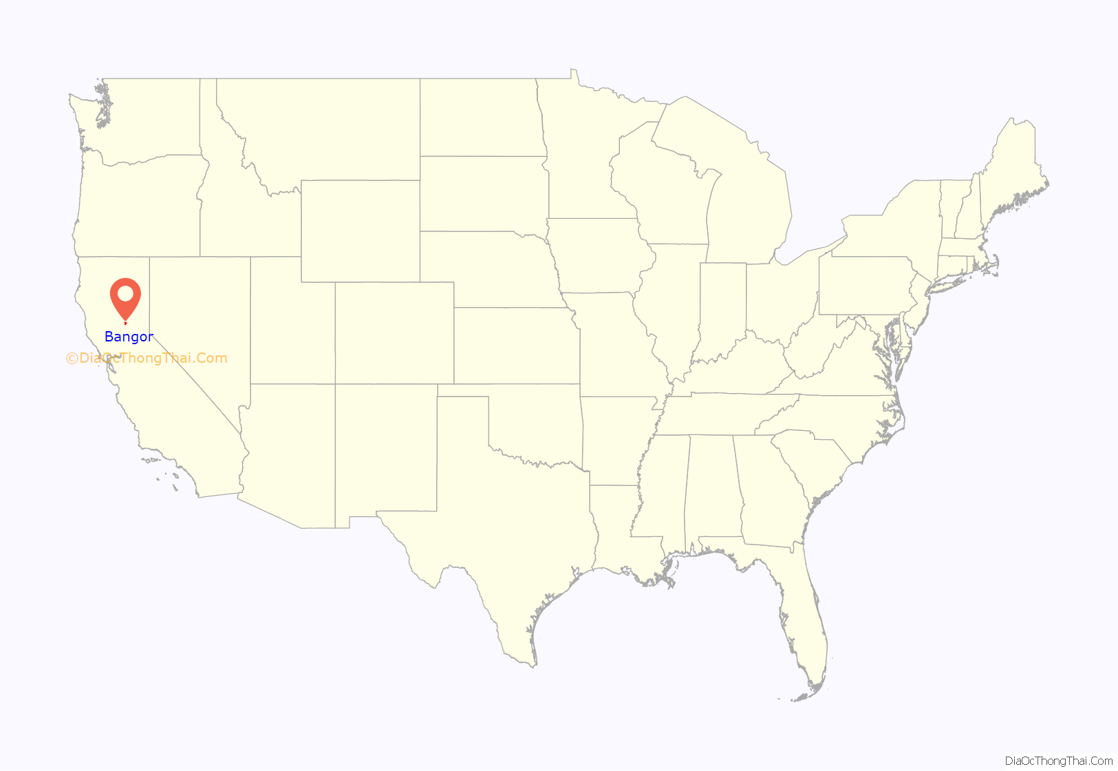
Bangor is a census-designated place in Butte County, California, about 1.5 miles (2.4 km) from the Yuba County line. The U.S. Geological Survey (USGS) feature ID for the community is 218644, and for the census place is 2612459; and the elevation is given as 761 feet (232 m) above mean sea level (AMSL). The community is in a shallow valley with surrounding hills in the 800–950 foot range. The population was 646 at the 2010 census.
Bangor was founded as a mining boom-town in 1855 and named by the Lumbert Brothers, early settlers and storekeepers, for their home-town of Bangor, Maine. The first post office was established in 1857.
Latitude and longitude for the community are given as 39°23′19″N 121°24′19″W / 39.38861°N 121.40528°W / 39.38861; -121.40528 and the community is located at a cross roads. Oroville-Bangor Highway becomes Los Verjeles Road south of town, these roads running roughly north–south. LaPorte Road runs somewhat east–west through the community. There are two restaurants listed in the telephone directory. Bangor is in area code 530 and has a ZIP Code of 95914. Driving east on LaPorte Road into the mountains eventually leads to Camp Eighteen.
| Name: | Bangor CDP |
|---|---|
| LSAD Code: | 57 |
| LSAD Description: | CDP (suffix) |
| State: | California |
| County: | Butte County |
| Elevation: | 761 ft (232 m) |
| Total Area: | 13.42 sq mi (34.77 km²) |
| Land Area: | 13.42 sq mi (34.77 km²) |
| Water Area: | 0.00 sq mi (0.00 km²) 0% |
| Total Population: | 695 |
| Population Density: | 51.78/sq mi (19.99/km²) |
| ZIP code: | 95914 |
| Area code: | 530 |
| FIPS code: | 0603792 |
Online Interactive Map
Click on ![]() to view map in "full screen" mode.
to view map in "full screen" mode.
Bangor location map. Where is Bangor CDP?
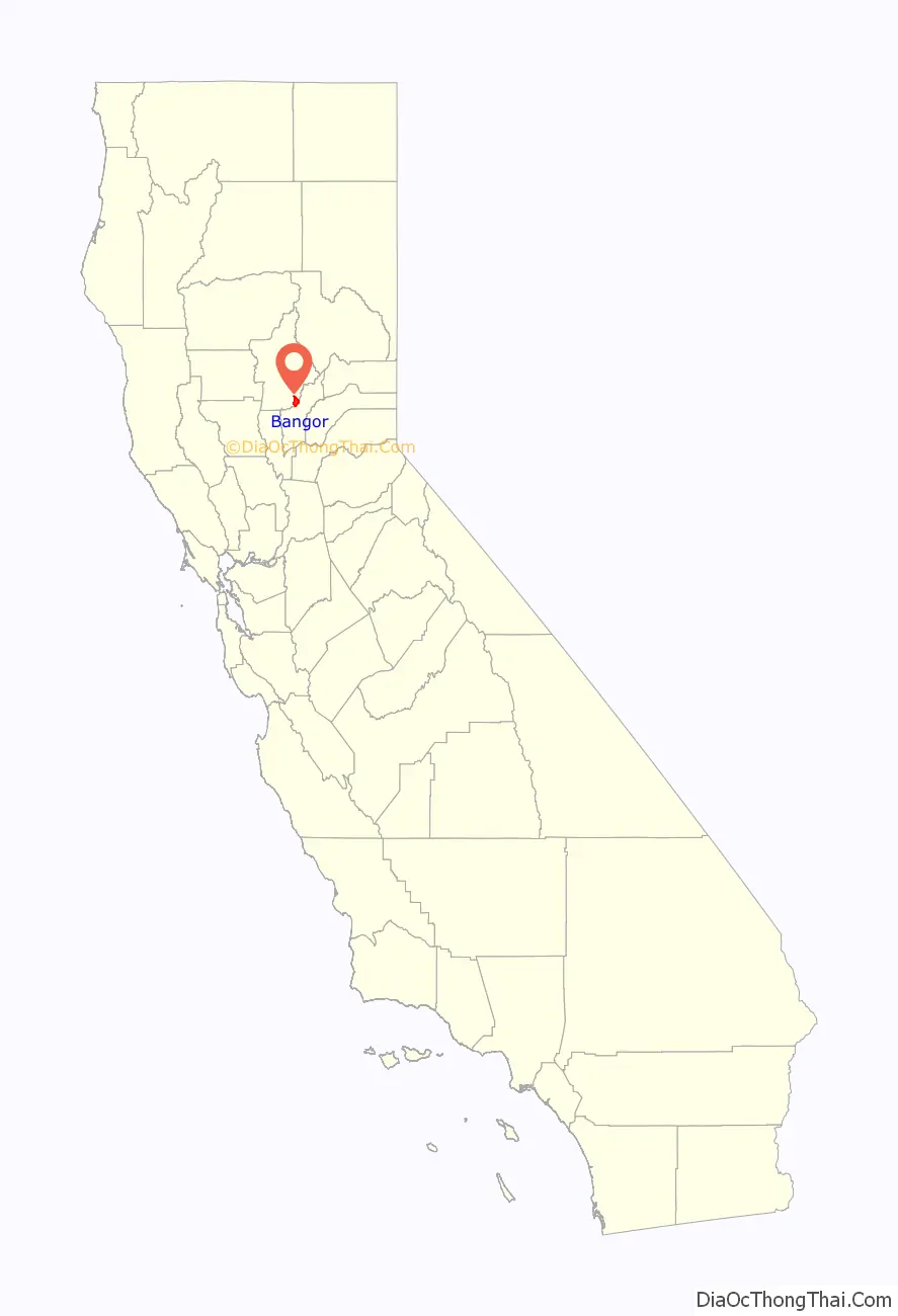
Bangor Road Map

Bangor city Satellite Map

See also
Map of California State and its subdivision:- Alameda
- Alpine
- Amador
- Butte
- Calaveras
- Colusa
- Contra Costa
- Del Norte
- El Dorado
- Fresno
- Glenn
- Humboldt
- Imperial
- Inyo
- Kern
- Kings
- Lake
- Lassen
- Los Angeles
- Madera
- Marin
- Mariposa
- Mendocino
- Merced
- Modoc
- Mono
- Monterey
- Napa
- Nevada
- Orange
- Placer
- Plumas
- Riverside
- Sacramento
- San Benito
- San Bernardino
- San Diego
- San Francisco
- San Joaquin
- San Luis Obispo
- San Mateo
- Santa Barbara
- Santa Clara
- Santa Cruz
- Shasta
- Sierra
- Siskiyou
- Solano
- Sonoma
- Stanislaus
- Sutter
- Tehama
- Trinity
- Tulare
- Tuolumne
- Ventura
- Yolo
- Yuba
- Alabama
- Alaska
- Arizona
- Arkansas
- California
- Colorado
- Connecticut
- Delaware
- District of Columbia
- Florida
- Georgia
- Hawaii
- Idaho
- Illinois
- Indiana
- Iowa
- Kansas
- Kentucky
- Louisiana
- Maine
- Maryland
- Massachusetts
- Michigan
- Minnesota
- Mississippi
- Missouri
- Montana
- Nebraska
- Nevada
- New Hampshire
- New Jersey
- New Mexico
- New York
- North Carolina
- North Dakota
- Ohio
- Oklahoma
- Oregon
- Pennsylvania
- Rhode Island
- South Carolina
- South Dakota
- Tennessee
- Texas
- Utah
- Vermont
- Virginia
- Washington
- West Virginia
- Wisconsin
- Wyoming


