Cherokee is an unincorporated community and census-designated place in Butte County, California. It is an area inhabited by Maidu Indians prior to the gold rush, but that takes its name from a band of Cherokee prospectors who perfected a mining claim on the site. The population was 69 at the 2010 census. It lies at an elevation of 1306 feet (398 m).
Possibly the site of the historic gold mine, on the 1994 Cherokee, California 7.5-minute quadrangle, a feature named “Cherokee Placer Mine” exists about 0.65 miles southwest of the above coordinates. USGS identifies Cherokee Flat and Drytown as historic variant names for the community. The town is located on Cherokee Road off State Route 70.
Today, Cherokee now consists of a museum and a Cherokee cemetery, as well as a few houses. The Cherokee Heritage and Museum Association maintains both.
The ZIP Code is 95965. The community is inside area code 530.
| Name: | Cherokee CDP |
|---|---|
| LSAD Code: | 57 |
| LSAD Description: | CDP (suffix) |
| State: | California |
| County: | Butte County |
| Elevation: | 1,306 ft (398 m) |
| Total Area: | 1.922 sq mi (4.976 km²) |
| Land Area: | 1.751 sq mi (4.534 km²) |
| Water Area: | 0.171 sq mi (0.442 km²) 8.9% |
| Total Population: | 69 |
| Population Density: | 36/sq mi (14/km²) |
| ZIP code: | 95965 |
| Area code: | 530 |
| FIPS code: | 0612818 |
Online Interactive Map
Click on ![]() to view map in "full screen" mode.
to view map in "full screen" mode.
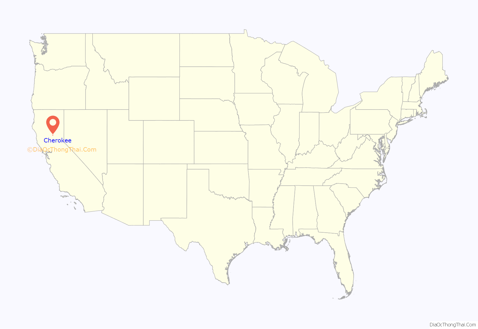
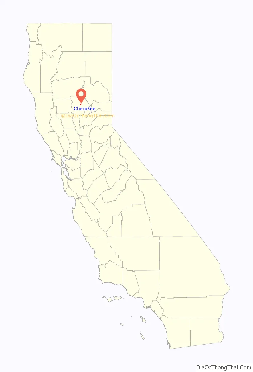
Cherokee location map. Where is Cherokee CDP?
History
Cherokee is within the traditional territory of the Maidu. Around 1818 Spanish explorers found gold on Cherokee’s south side near Table Mountain. In 1849 Cherokee came from Oklahoma. Welsh miners came in the 1850s, naming the town after the Cherokee and constructing many buildings in town.
Thomas Edison owned one of the mines which sprung up in the area, and he saw to it that the mines were electrified to ease the work. The town prospered during the mining period, and Butte County’s first homes with running water were built in Cherokee.
In 1880 President Rutherford B. Hayes, his wife Lucy, Civil War General William T. Sherman and General John Bidwell came to visit Cherokee’s famous hydraulic gold mine. In the 1890s, the gold mines were sold off because of operational costs. At its boomtime, the town had a population in the thousands.
A post office operated at Cherokee from 1854 to 1912.
Spring Valley Mine
Over time, mines consolidated and by 1870, Cherokee’s hydraulic-mining ventures were consolidated into a single operation controlled by the Spring Valley Mining and Irrigation Company. The mine closed in 1894. Still existing in the area are Spring Valley Elementary School, Spring Valley Reservoir, and Spring Valley Gulch (an actual valley)
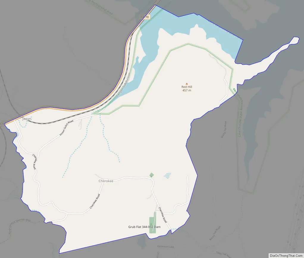
Cherokee Road Map
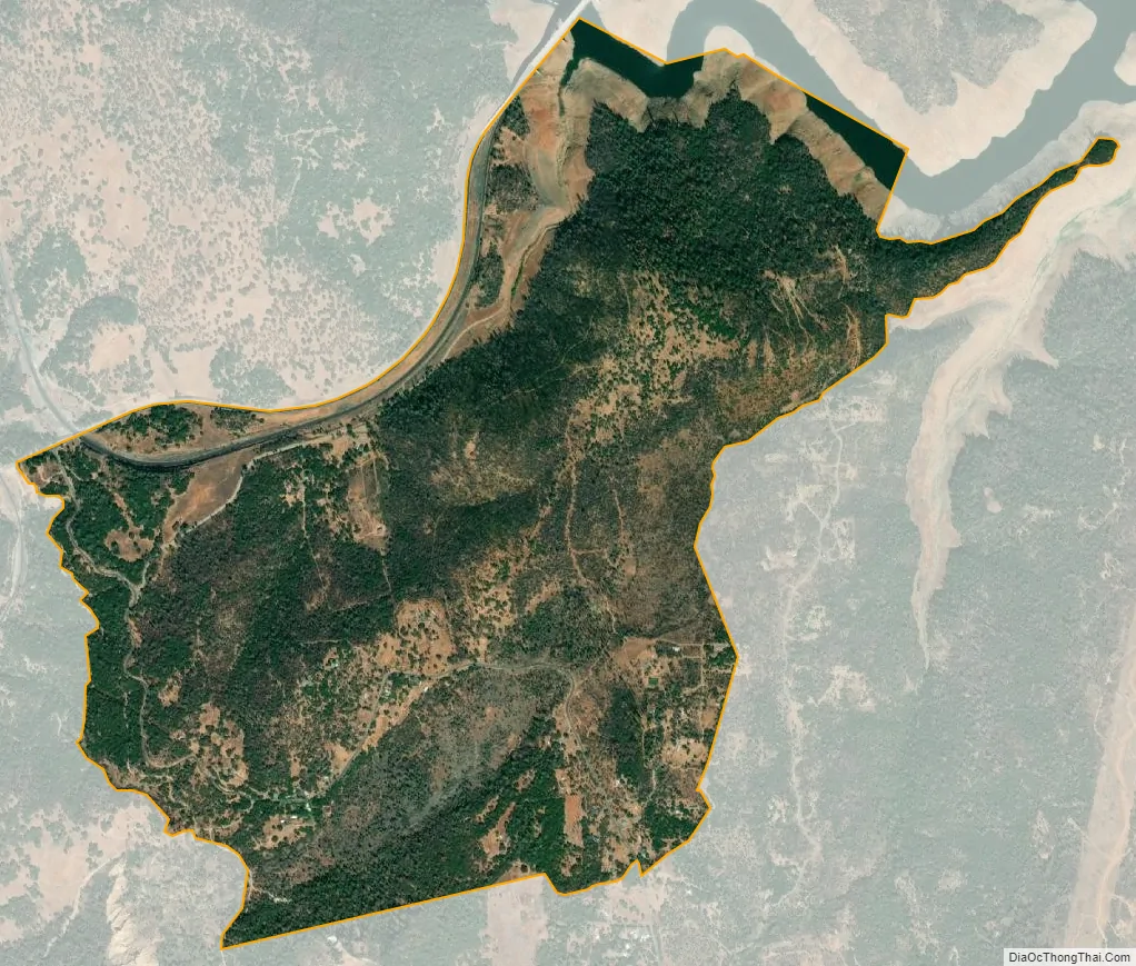
Cherokee city Satellite Map
See also
Map of California State and its subdivision:- Alameda
- Alpine
- Amador
- Butte
- Calaveras
- Colusa
- Contra Costa
- Del Norte
- El Dorado
- Fresno
- Glenn
- Humboldt
- Imperial
- Inyo
- Kern
- Kings
- Lake
- Lassen
- Los Angeles
- Madera
- Marin
- Mariposa
- Mendocino
- Merced
- Modoc
- Mono
- Monterey
- Napa
- Nevada
- Orange
- Placer
- Plumas
- Riverside
- Sacramento
- San Benito
- San Bernardino
- San Diego
- San Francisco
- San Joaquin
- San Luis Obispo
- San Mateo
- Santa Barbara
- Santa Clara
- Santa Cruz
- Shasta
- Sierra
- Siskiyou
- Solano
- Sonoma
- Stanislaus
- Sutter
- Tehama
- Trinity
- Tulare
- Tuolumne
- Ventura
- Yolo
- Yuba
- Alabama
- Alaska
- Arizona
- Arkansas
- California
- Colorado
- Connecticut
- Delaware
- District of Columbia
- Florida
- Georgia
- Hawaii
- Idaho
- Illinois
- Indiana
- Iowa
- Kansas
- Kentucky
- Louisiana
- Maine
- Maryland
- Massachusetts
- Michigan
- Minnesota
- Mississippi
- Missouri
- Montana
- Nebraska
- Nevada
- New Hampshire
- New Jersey
- New Mexico
- New York
- North Carolina
- North Dakota
- Ohio
- Oklahoma
- Oregon
- Pennsylvania
- Rhode Island
- South Carolina
- South Dakota
- Tennessee
- Texas
- Utah
- Vermont
- Virginia
- Washington
- West Virginia
- Wisconsin
- Wyoming


