Bradbury is a city in the San Gabriel Valley region of Los Angeles County, California, United States. It is located in the foothills of the San Gabriel Mountains below Angeles National Forest. Bradbury is bordered by the city of Monrovia to the west and south, and Duarte to the south and east. The population was 1,048 at the 2010 census, up from 855 at the 2000 census. The city has three distinct areas—the Bradbury Estates, which is a gated community consisting of 5-acre (20,000 m) minimum estates; Woodlyn Lane, which is also a gated community with minimum 2-acre (8,100 m) lots; and the balance of the city, which is not gated, which has lots generally ranging in size from 7,500 square feet (700 m) to 1-acre (4,000 m). A significant portion of the properties in Bradbury Estates and Woodlyn Lane are zoned for horses, and several horse ranches still exist within these communities today.
| Name: | Bradbury city |
|---|---|
| LSAD Code: | 25 |
| LSAD Description: | city (suffix) |
| State: | California |
| County: | Los Angeles County |
| Incorporated: | July 26, 1957 |
| Elevation: | 676 ft (206 m) |
| Total Area: | 1.96 sq mi (5.09 km²) |
| Land Area: | 1.96 sq mi (5.08 km²) |
| Water Area: | 0.00 sq mi (0.00 km²) 0.06% |
| Total Population: | 921 |
| Population Density: | 469.18/sq mi (181.14/km²) |
| ZIP code: | 91008 |
| Area code: | 626 |
| FIPS code: | 0607946 |
| GNISfeature ID: | 1660369 |
| Website: | www.cityofbradbury.org |
Online Interactive Map
Click on ![]() to view map in "full screen" mode.
to view map in "full screen" mode.
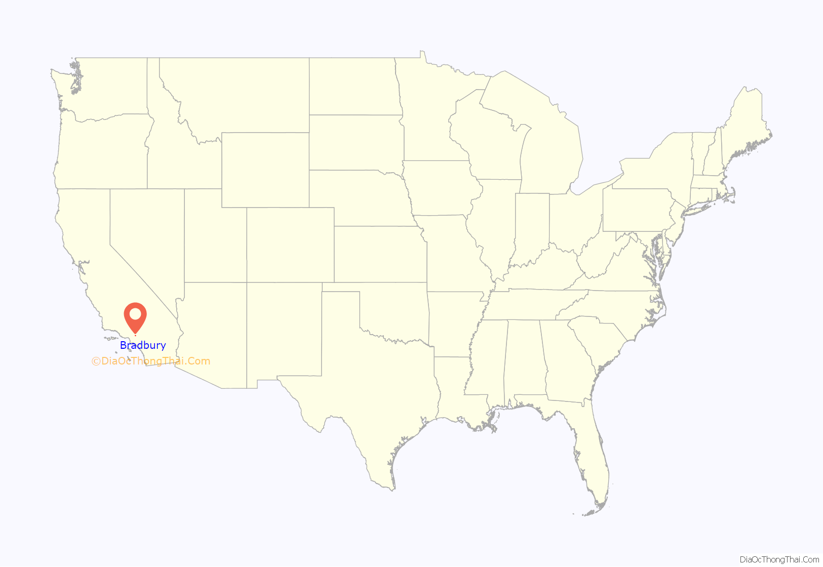
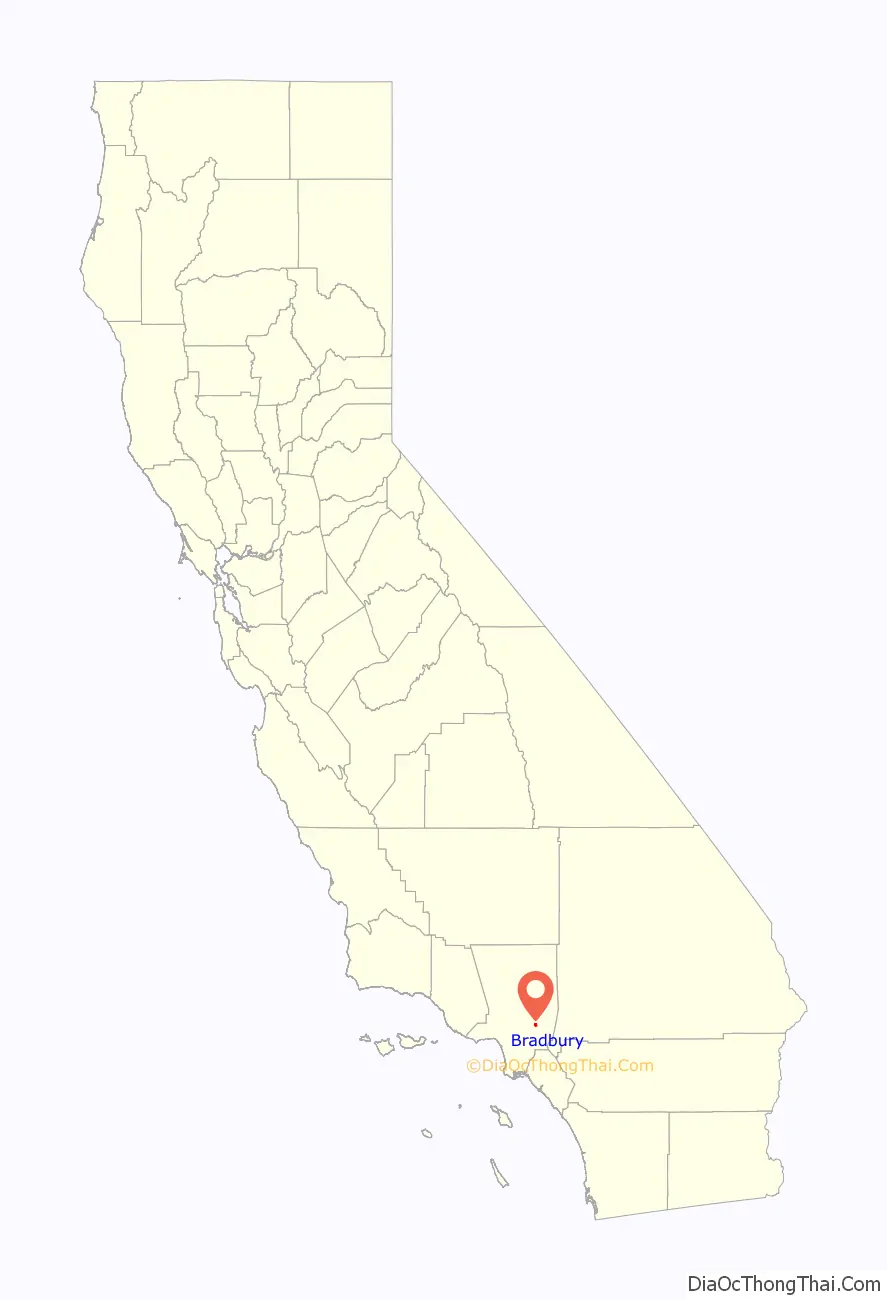
Bradbury location map. Where is Bradbury city?
History
Bradbury was founded by Lewis Leonard Bradbury on the homestead of Rancho Azusa de Duarte in 1881. In 1912 the Bradburys’ daughter, Minerva, married Isaac Polk and built a grand mansion on the property which they named Chateau Bradbury. After years of annexation attempts by the city of Monrovia, Bradbury incorporated in 1957. The paperwork for incorporation arrived in a rush to prevent the area from becoming part of the new city of Duarte, which also incorporated on the same day, August 22, 1957. Still, many ties between the two communities remain in that they both form the Duarte Unified School District; they both share the same post office and the 91008 ZIP code; and they both share combined public services such as the Los Angeles County Sheriff’s Department and Los Angeles County Fire Department, and garbage pickup (provided by Burrtec Waste Services).
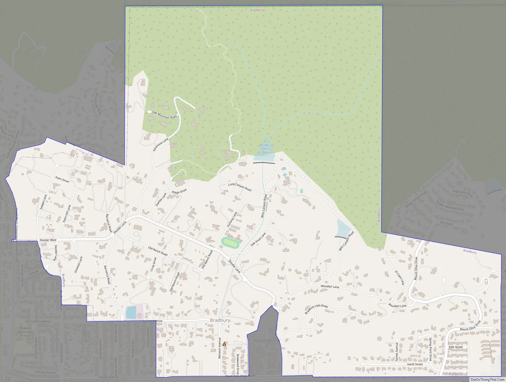
Bradbury Road Map
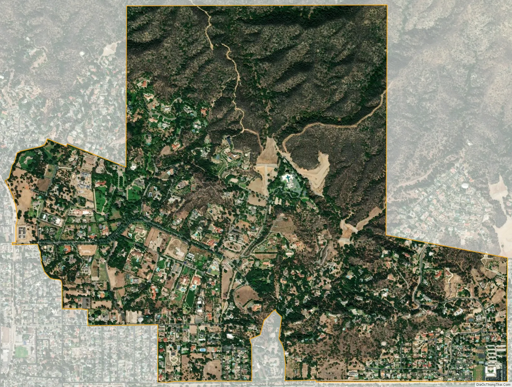
Bradbury city Satellite Map
Geography
According to the United States Census Bureau, the city has a total area of 2.0 square miles (5.2 km), over 99% of it land.
See also
Map of California State and its subdivision:- Alameda
- Alpine
- Amador
- Butte
- Calaveras
- Colusa
- Contra Costa
- Del Norte
- El Dorado
- Fresno
- Glenn
- Humboldt
- Imperial
- Inyo
- Kern
- Kings
- Lake
- Lassen
- Los Angeles
- Madera
- Marin
- Mariposa
- Mendocino
- Merced
- Modoc
- Mono
- Monterey
- Napa
- Nevada
- Orange
- Placer
- Plumas
- Riverside
- Sacramento
- San Benito
- San Bernardino
- San Diego
- San Francisco
- San Joaquin
- San Luis Obispo
- San Mateo
- Santa Barbara
- Santa Clara
- Santa Cruz
- Shasta
- Sierra
- Siskiyou
- Solano
- Sonoma
- Stanislaus
- Sutter
- Tehama
- Trinity
- Tulare
- Tuolumne
- Ventura
- Yolo
- Yuba
- Alabama
- Alaska
- Arizona
- Arkansas
- California
- Colorado
- Connecticut
- Delaware
- District of Columbia
- Florida
- Georgia
- Hawaii
- Idaho
- Illinois
- Indiana
- Iowa
- Kansas
- Kentucky
- Louisiana
- Maine
- Maryland
- Massachusetts
- Michigan
- Minnesota
- Mississippi
- Missouri
- Montana
- Nebraska
- Nevada
- New Hampshire
- New Jersey
- New Mexico
- New York
- North Carolina
- North Dakota
- Ohio
- Oklahoma
- Oregon
- Pennsylvania
- Rhode Island
- South Carolina
- South Dakota
- Tennessee
- Texas
- Utah
- Vermont
- Virginia
- Washington
- West Virginia
- Wisconsin
- Wyoming


