Butte Meadows is a census-designated place in Butte County, California, 5 miles off State Route 32 on Humboldt Rd. The area is about 45 minutes or 33 miles (53 km) east of Chico on SR32. Its elevation is listed at 4,340 feet (1,323 m) above sea level: certain to get snow in winter of any year. The area code is Area code 530. The area is just over one mile (1.6 km) from the Tehama County line. The post office that served Butte Meadows moved back and forth across the county line several times from 1878 to 1888. Butte Meadows’ population was 40 at the 2010 census.
The first annual Butte Meadows Snowshoe Sprint (BUMSS) was held on December 19, 2015. Reid Meadows, whose family lived in the area for multiple generations, was named champion after recording a 12.70 second 30-yard sprint in the final. The race was sponsored by the local establishment Bambi Inn.
| Name: | Butte Meadows CDP |
|---|---|
| LSAD Code: | 57 |
| LSAD Description: | CDP (suffix) |
| State: | California |
| County: | Butte County |
| Elevation: | 4,340 ft (1,323 m) |
| Total Area: | 2.14 sq mi (5.56 km²) |
| Land Area: | 2.14 sq mi (5.55 km²) |
| Water Area: | 0.00 sq mi (0.00 km²) 0.02% |
| Total Population: | 74 |
| Population Density: | 34.51/sq mi (13.32/km²) |
| Area code: | 530 |
| FIPS code: | 0609318 |
Online Interactive Map
Click on ![]() to view map in "full screen" mode.
to view map in "full screen" mode.
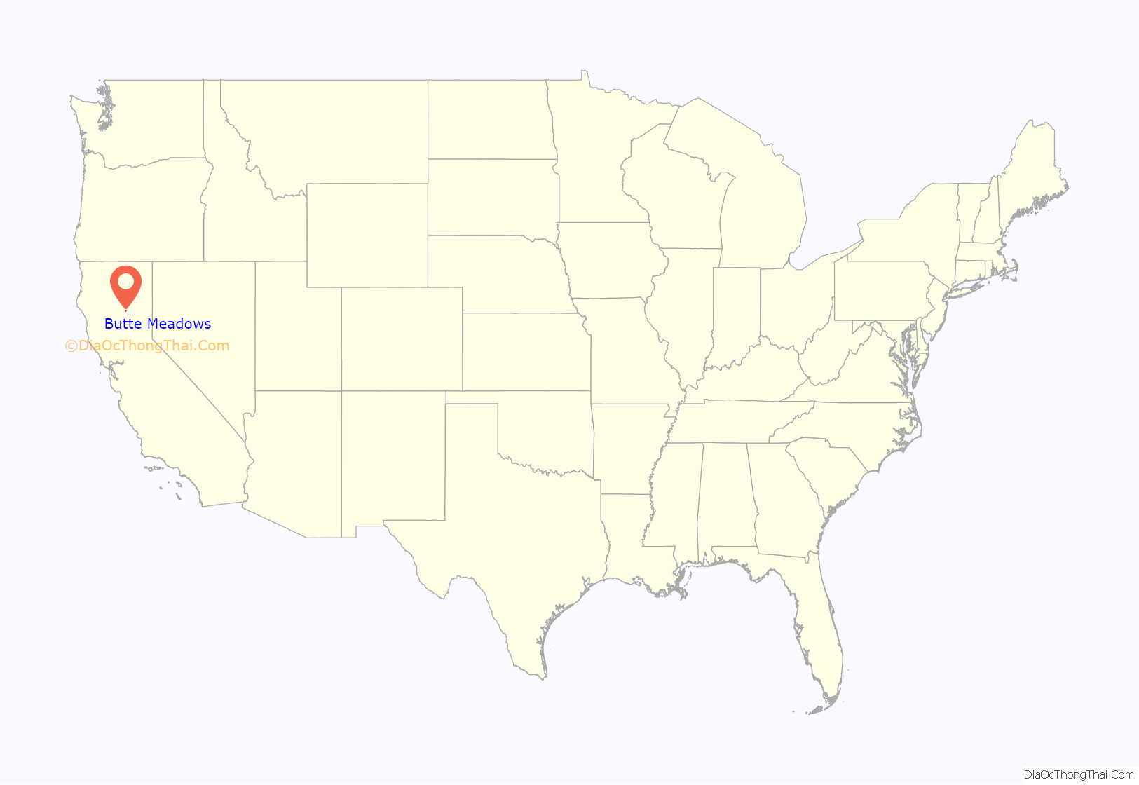
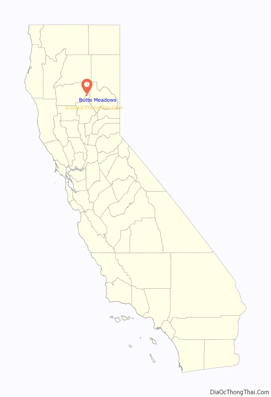
Butte Meadows location map. Where is Butte Meadows CDP?
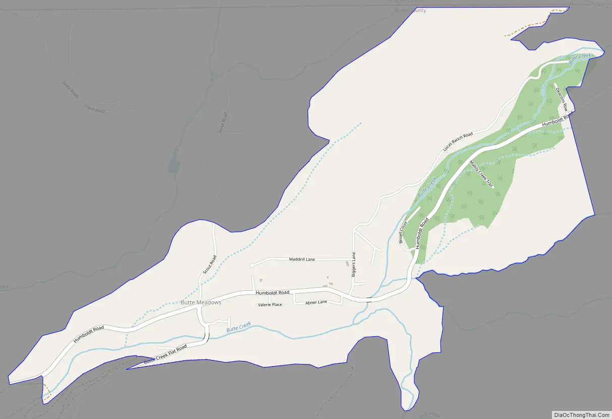
Butte Meadows Road Map
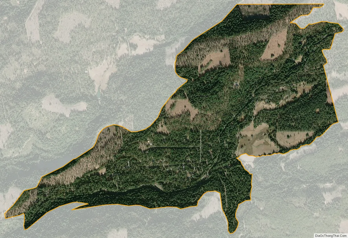
Butte Meadows city Satellite Map
See also
Map of California State and its subdivision:- Alameda
- Alpine
- Amador
- Butte
- Calaveras
- Colusa
- Contra Costa
- Del Norte
- El Dorado
- Fresno
- Glenn
- Humboldt
- Imperial
- Inyo
- Kern
- Kings
- Lake
- Lassen
- Los Angeles
- Madera
- Marin
- Mariposa
- Mendocino
- Merced
- Modoc
- Mono
- Monterey
- Napa
- Nevada
- Orange
- Placer
- Plumas
- Riverside
- Sacramento
- San Benito
- San Bernardino
- San Diego
- San Francisco
- San Joaquin
- San Luis Obispo
- San Mateo
- Santa Barbara
- Santa Clara
- Santa Cruz
- Shasta
- Sierra
- Siskiyou
- Solano
- Sonoma
- Stanislaus
- Sutter
- Tehama
- Trinity
- Tulare
- Tuolumne
- Ventura
- Yolo
- Yuba
- Alabama
- Alaska
- Arizona
- Arkansas
- California
- Colorado
- Connecticut
- Delaware
- District of Columbia
- Florida
- Georgia
- Hawaii
- Idaho
- Illinois
- Indiana
- Iowa
- Kansas
- Kentucky
- Louisiana
- Maine
- Maryland
- Massachusetts
- Michigan
- Minnesota
- Mississippi
- Missouri
- Montana
- Nebraska
- Nevada
- New Hampshire
- New Jersey
- New Mexico
- New York
- North Carolina
- North Dakota
- Ohio
- Oklahoma
- Oregon
- Pennsylvania
- Rhode Island
- South Carolina
- South Dakota
- Tennessee
- Texas
- Utah
- Vermont
- Virginia
- Washington
- West Virginia
- Wisconsin
- Wyoming


