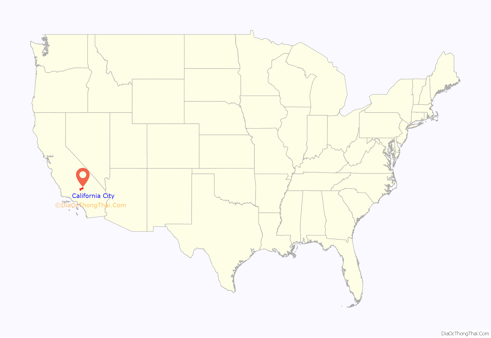
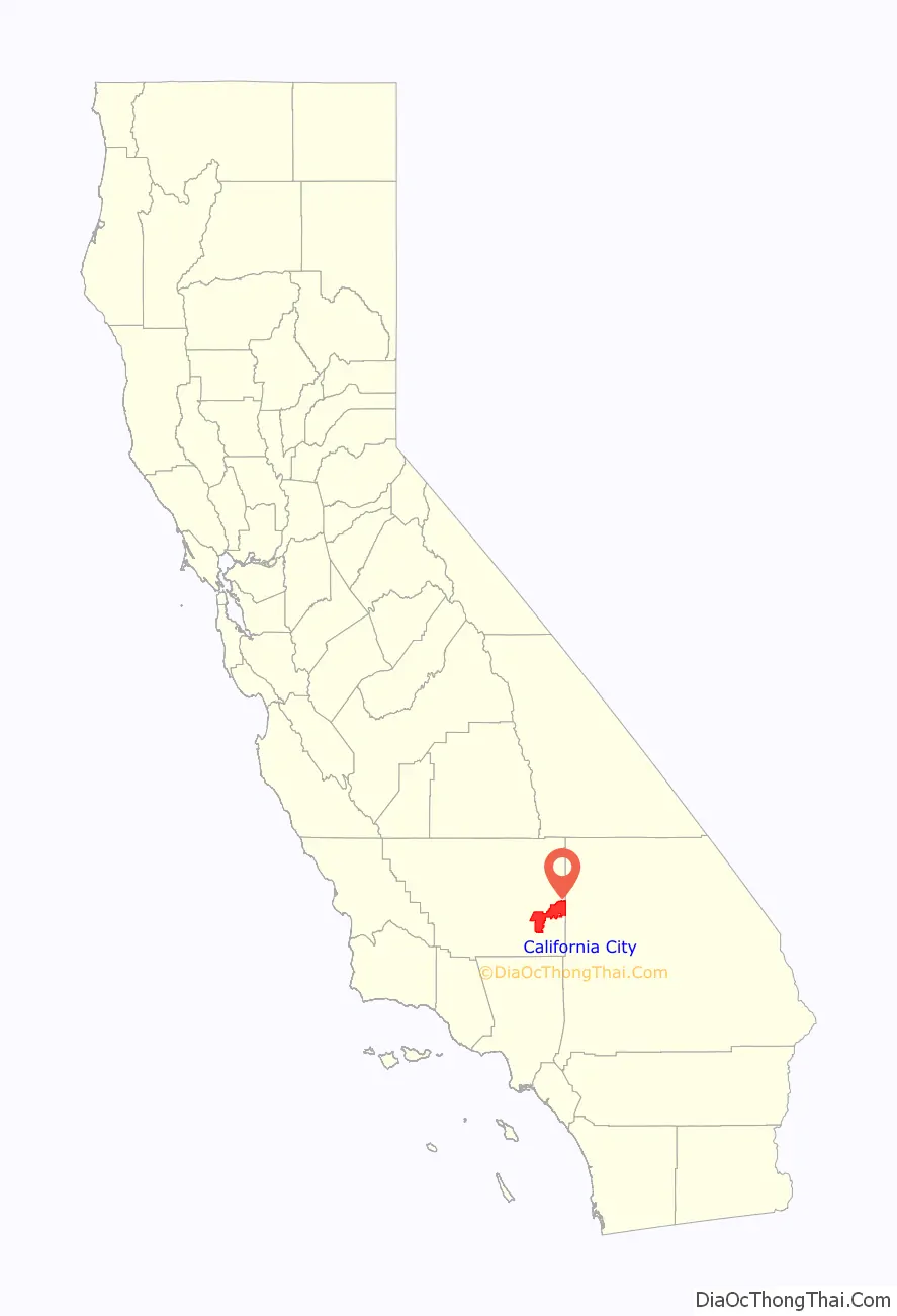
California City is a city located in northern Antelope Valley in Kern County, California, United States. It is 100 miles (160 km) north of the city of Los Angeles, and the population was 14,973 at the 2020 census. Covering 203.63 square miles (527.4 km), California City has the third-largest land area of any city in the state of California, and is the largest city by land area in California that is not a county seat.
Much of the workforce of Edwards Air Force Base, which is located 18 miles (29 km) southeast of the city, is made up of city residents. Other major sources of employment include California City Correctional Center (California Department of Corrections and Rehabilitation); Mojave Air and Space Port and its flight test operations; and the Hyundai/Kia Proving Grounds located in the rural southwestern part of the city. California City has a park, a PGA golf course, and a municipal airport.
| Name: | California City city |
|---|---|
| LSAD Code: | 25 |
| LSAD Description: | city (suffix) |
| State: | California |
| County: | Kern County |
| Incorporated: | December 10, 1965 |
| Elevation: | 2,405 ft (733 m) |
| Total Area: | 203.70 sq mi (527.57 km²) |
| Land Area: | 203.61 sq mi (527.35 km²) |
| Water Area: | 0.09 sq mi (0.22 km²) 0.04% |
| Total Population: | 14,973 |
| Population Density: | 73.54/sq mi (28.39/km²) |
| FIPS code: | 0609780 |
| Website: | www.californiacity-ca.gov |
Online Interactive Map
Click on ![]() to view map in "full screen" mode.
to view map in "full screen" mode.
California City location map. Where is California City city?
History
Early
Padre Francisco Garcés, a Franciscan missionary, camped at Castle Butte in what is now California City in 1776 during the Juan Bautista de Anza expedition of Alta California.
In the late 19th century, the Twenty-Mule Team Trail, which carried loads of borax to the railhead in Mojave from Harmony Borax Works mines in the east, ran through the California City area.
Military
The Mojave Gunnery Range “C” was used from August 1944 until January 1959, when it became part of the California City land. It included bomb targets and strafing targets such as a vehicle convoy. It was also used for pilotless aircraft just after World War II. Unexploded ordnance and toxic waste are associated with the site, and the Army Corps of Engineers began surveying the site in 1999, and by 2001 the range was described as containing 20,908 acres (8,461 ha) southwest of the California City center.
Site surveys beginning in 1999 found MK 23 3-pound practice bombs with unfired signal cartridges, 20-millimeter Target Practice projectiles, 2.25, 2.75, and 5-inch practice rockets, high explosive bombs, and small arms ammunition from .22 to .50 caliber were found. The largest fuzed and unexploded bombs found were two 100-pound general purpose bombs.
Town
The city was created in 1958, when developers purchased 82,000 acres (33,000 ha) of Mojave Desert. The new city was aggressively marketed. The master plan was prepared by Smith and Williams and Garrett Eckbo architects, and included a central park with a 26-acre (11 ha) artificial lake, two golf courses, and a Holiday Inn hotel. There were conflicting reports that the city was built over a large aquifer.
At post office opened in 1960, and the city incorporated in 1965, when it had 158 square miles (410 km) of land, 5,900 landowners, 817 residents, and 232 homes.
By 1965, population growth was less than the developer’s projection. The Federal Trade Commission began inspecting the development company in 1969, and Ralph Nader’s 25-person California task force (part of “Nader’s Raiders”) published “Power and Land in California” in 1971. Part of the book focussed on California City, calling it a fraud and “a particularly stark study of government failure.” By the 1970s, over 50,000 lots had been sold and the market declined. The Federal Trade Commission filed a cease and desist against the home seller for misleading advertising about the city, and in 1977, over 14,000 landowners receiving partial refunds from a $4 million pool, the largest FTC settlement to date. The sales company was also required to invest $16 million in long-promised infrastructure in various cities.
California City had a population of 3,200 in 1985 and over 14,000 in 2018, clustered around the west end.
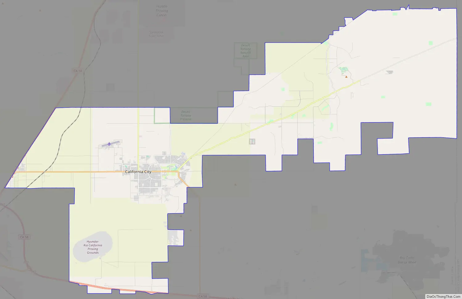
California City Road Map
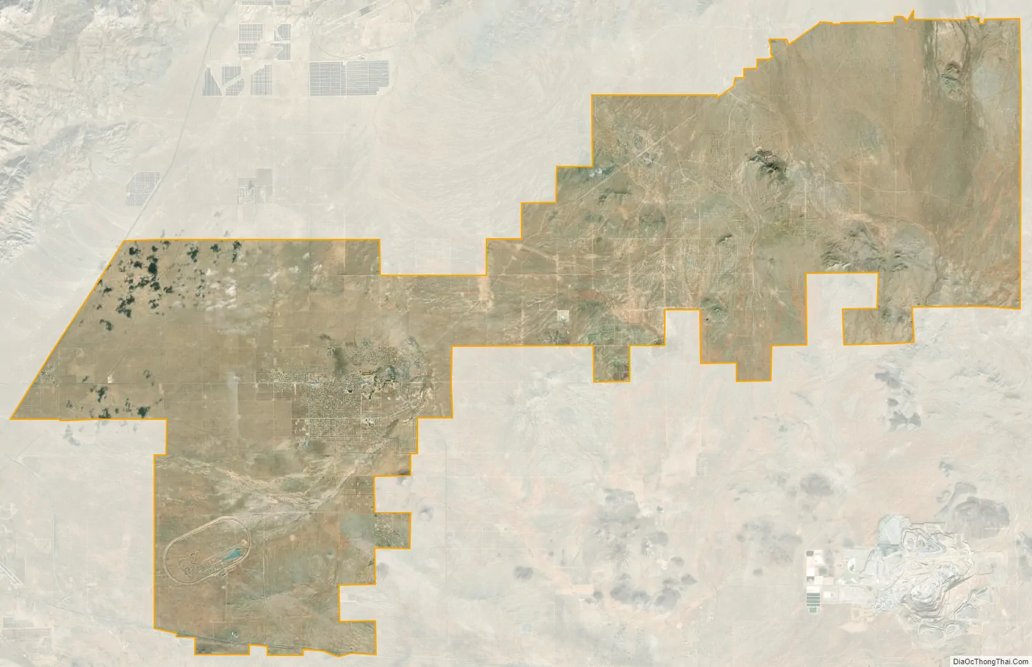
California City city Satellite Map
Geography
Although one of California’s smaller cities in terms of population, California City is the third largest city in California by land area. Satellite photos underscore its claim to being California’s third-largest city by land area (40th largest in the United States). Located in the northern Antelope Valley in Kern County, California, the city is 18 miles (29 km) northwest of Edwards Air Force Base, 28 miles (45 km) east of Tehachapi, 40 miles (64 km) north of Lancaster, 49 miles (79 km) southwest of Ridgecrest, 67 miles (108 km) east of the city of Bakersfield, and 101 miles (163 km) north of the city of Los Angeles.
Geology
In 2000, the depth to groundwater was 370 feet (110 m).
The Garlock Fault runs nearby.
Climate
See also
Map of California State and its subdivision:- Alameda
- Alpine
- Amador
- Butte
- Calaveras
- Colusa
- Contra Costa
- Del Norte
- El Dorado
- Fresno
- Glenn
- Humboldt
- Imperial
- Inyo
- Kern
- Kings
- Lake
- Lassen
- Los Angeles
- Madera
- Marin
- Mariposa
- Mendocino
- Merced
- Modoc
- Mono
- Monterey
- Napa
- Nevada
- Orange
- Placer
- Plumas
- Riverside
- Sacramento
- San Benito
- San Bernardino
- San Diego
- San Francisco
- San Joaquin
- San Luis Obispo
- San Mateo
- Santa Barbara
- Santa Clara
- Santa Cruz
- Shasta
- Sierra
- Siskiyou
- Solano
- Sonoma
- Stanislaus
- Sutter
- Tehama
- Trinity
- Tulare
- Tuolumne
- Ventura
- Yolo
- Yuba
- Alabama
- Alaska
- Arizona
- Arkansas
- California
- Colorado
- Connecticut
- Delaware
- District of Columbia
- Florida
- Georgia
- Hawaii
- Idaho
- Illinois
- Indiana
- Iowa
- Kansas
- Kentucky
- Louisiana
- Maine
- Maryland
- Massachusetts
- Michigan
- Minnesota
- Mississippi
- Missouri
- Montana
- Nebraska
- Nevada
- New Hampshire
- New Jersey
- New Mexico
- New York
- North Carolina
- North Dakota
- Ohio
- Oklahoma
- Oregon
- Pennsylvania
- Rhode Island
- South Carolina
- South Dakota
- Tennessee
- Texas
- Utah
- Vermont
- Virginia
- Washington
- West Virginia
- Wisconsin
- Wyoming


