Port Hueneme (/waɪˈniːmi/ (listen) wy-NEEM-ee; Chumash: Wene Me) is a small beach city in Ventura County, California, surrounded by the city of Oxnard and the Santa Barbara Channel. Both the Port of Hueneme and Naval Base Ventura County lie within the city limits.
Port Hueneme has a south-facing sand beach, known for its surfing. The beach has a wooden fishing pier and is about a mile long between Ormond Beach downcoast and Point Hueneme Light at the harbor entrance shared by the naval base and the port. The Waterfront Promenade, also known as the Lighthouse Promenade, provides a paved public access along the shoreline with two historic sites at viewpoints: the 1872 Wharf and the Oxnard Packing House.
| Name: | Port Hueneme city |
|---|---|
| LSAD Code: | 25 |
| LSAD Description: | city (suffix) |
| State: | California |
| County: | Ventura County |
| Incorporated: | March 24, 1948 |
| Elevation: | 13 ft (4 m) |
| Total Area: | 4.67 sq mi (12.09 km²) |
| Land Area: | 4.42 sq mi (11.44 km²) |
| Water Area: | 0.25 sq mi (0.65 km²) 4.70% |
| Total Population: | 21,723 |
| Population Density: | 4,964.00/sq mi (1,916.70/km²) |
| ZIP code: | 93041–93044 |
| Area code: | 805 |
| FIPS code: | 0658296 |
| GNISfeature ID: | 1652778 |
| Website: | www.cityofporthueneme.org |
Online Interactive Map
Click on ![]() to view map in "full screen" mode.
to view map in "full screen" mode.
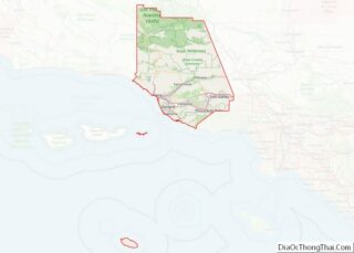
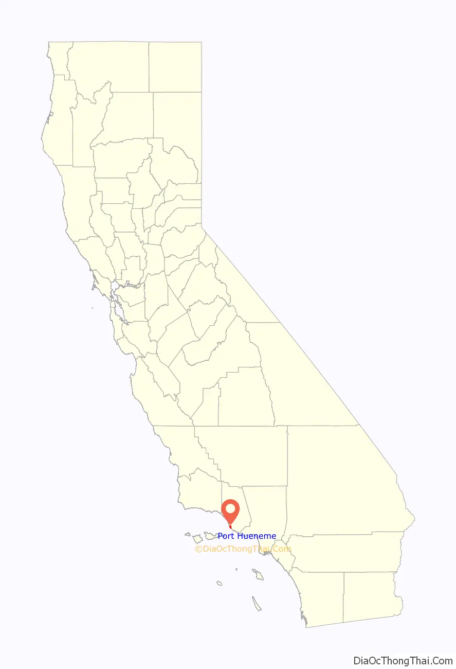
Port Hueneme location map. Where is Port Hueneme city?

History
Juan Rodríguez Cabrillo explored this area and the adjacent Channel Islands in October 1542.
Thomas Bard learned of the submarine canyon at Point Hueneme and took advantage of the canyon depth to construct the Hueneme Wharf in 1871 here. The existing street grid of the town was formally laid out in 1888. Until the construction of the Montalvo Cutoff that brought the railroad to nearby Oxnard, the wharf was the principal means of transportation for that portion of Ventura County lying south of the Santa Clara River. Hueneme was the second largest grain shipping port on the Pacific coast between 1871 and 1895.
A 650-foot-long (200 m) pier was built in 1956 as a construction trestle for a sewer outfall pipeline. The fishing pier is now 1,250 feet (380 m) after having been modified over the years.
On January 31, 2000, Alaska Airlines Flight 261 crashed into the Pacific Ocean between Port Hueneme and Anacapa Island after a mechanical failure. U.S. Navy Base Ventura County, adjacent to the port, was the staging ground for recovery of the wreckage. The victims’ families later approved the construction of a memorial sundial designed by Santa Barbara artist James “Bud” Bottoms, which was placed on the beach close to the crash site. Victims’ names are placed on bronze plates mounted on the dial’s perimeter. The sundial casts a shadow on a memorial plaque at 16:22 each January 31.
Port Hueneme Road Map
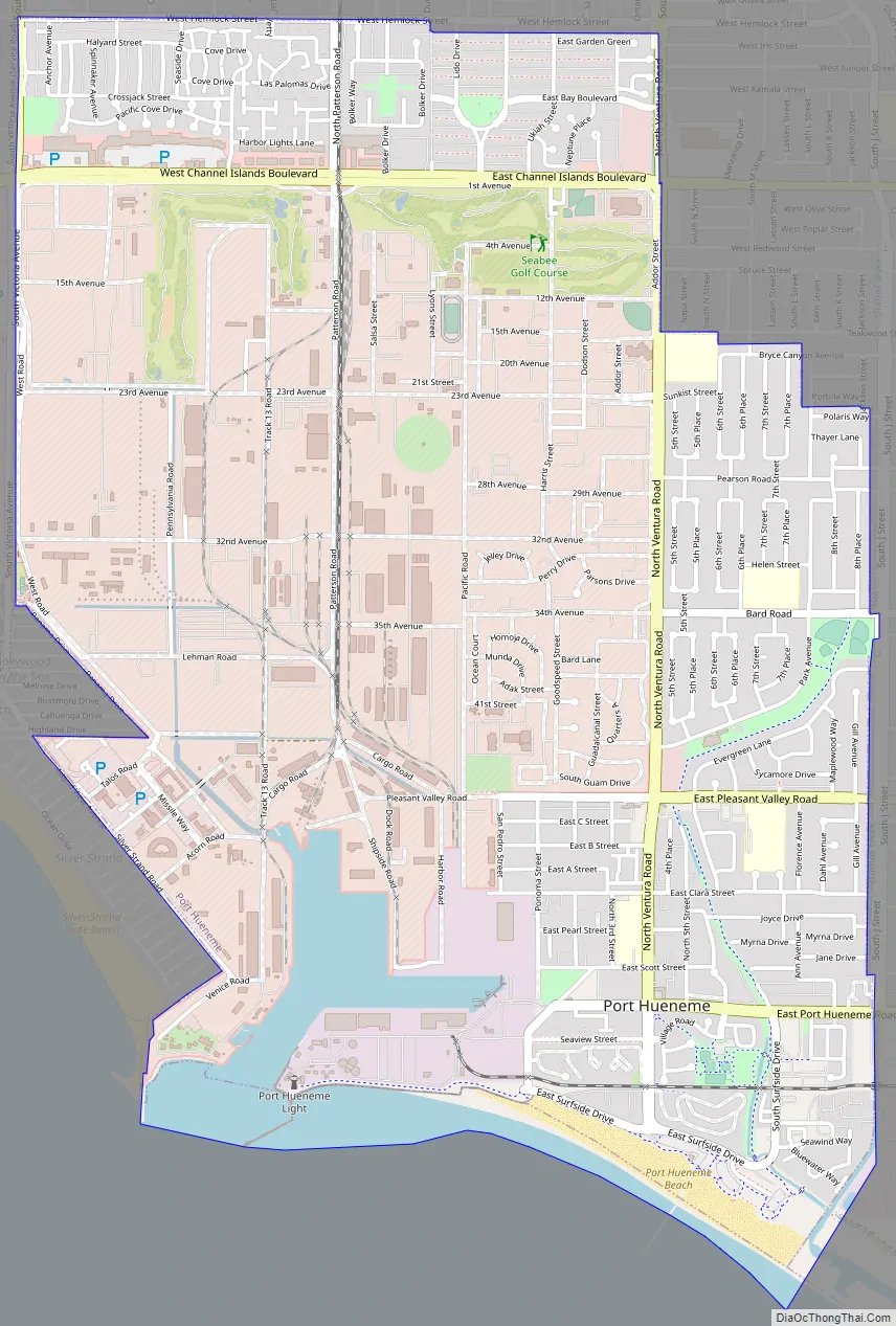
Port Hueneme city Satellite Map

Geography
Port Hueneme is located on the southwest portion of the Oxnard Plain on the Pacific Ocean.
According to the United States Census Bureau, the city has a total area of 4.7 square miles (12.1 km). 4.5 square miles (11.5 km) of it is land and 0.2 square miles (0.6 km) of it (4.70%) is water.
Climate
This region experiences warm (but not hot) and dry summers, with no average monthly temperatures above 71.6 °F. According to the Köppen Climate Classification system, Port Hueneme has a warm-summer Mediterranean climate, abbreviated “Csb” on climate maps.
See also
Map of California State and its subdivision:- Alameda
- Alpine
- Amador
- Butte
- Calaveras
- Colusa
- Contra Costa
- Del Norte
- El Dorado
- Fresno
- Glenn
- Humboldt
- Imperial
- Inyo
- Kern
- Kings
- Lake
- Lassen
- Los Angeles
- Madera
- Marin
- Mariposa
- Mendocino
- Merced
- Modoc
- Mono
- Monterey
- Napa
- Nevada
- Orange
- Placer
- Plumas
- Riverside
- Sacramento
- San Benito
- San Bernardino
- San Diego
- San Francisco
- San Joaquin
- San Luis Obispo
- San Mateo
- Santa Barbara
- Santa Clara
- Santa Cruz
- Shasta
- Sierra
- Siskiyou
- Solano
- Sonoma
- Stanislaus
- Sutter
- Tehama
- Trinity
- Tulare
- Tuolumne
- Ventura
- Yolo
- Yuba
- Alabama
- Alaska
- Arizona
- Arkansas
- California
- Colorado
- Connecticut
- Delaware
- District of Columbia
- Florida
- Georgia
- Hawaii
- Idaho
- Illinois
- Indiana
- Iowa
- Kansas
- Kentucky
- Louisiana
- Maine
- Maryland
- Massachusetts
- Michigan
- Minnesota
- Mississippi
- Missouri
- Montana
- Nebraska
- Nevada
- New Hampshire
- New Jersey
- New Mexico
- New York
- North Carolina
- North Dakota
- Ohio
- Oklahoma
- Oregon
- Pennsylvania
- Rhode Island
- South Carolina
- South Dakota
- Tennessee
- Texas
- Utah
- Vermont
- Virginia
- Washington
- West Virginia
- Wisconsin
- Wyoming