Clayton (formerly Clayton’s and Claytonville) is a city in Contra Costa County, California, United States. The population was 10,897 as of the 2010 census.
| Name: | Clayton city |
|---|---|
| LSAD Code: | 25 |
| LSAD Description: | city (suffix) |
| State: | California |
| County: | Contra Costa County |
| Incorporated: | March 18, 1964 |
| Elevation: | 394 ft (120 m) |
| Total Area: | 3.84 sq mi (9.95 km²) |
| Land Area: | 3.84 sq mi (9.95 km²) |
| Water Area: | 0.00 sq mi (0.00 km²) 0% |
| Total Population: | 11,070 |
| Population Density: | 2,882.81/sq mi (1,113.09/km²) |
| ZIP code: | 94517 |
| Area code: | 925 |
| FIPS code: | 0613882 |
| Website: | www.ci.clayton.ca.us |
Online Interactive Map
Click on ![]() to view map in "full screen" mode.
to view map in "full screen" mode.
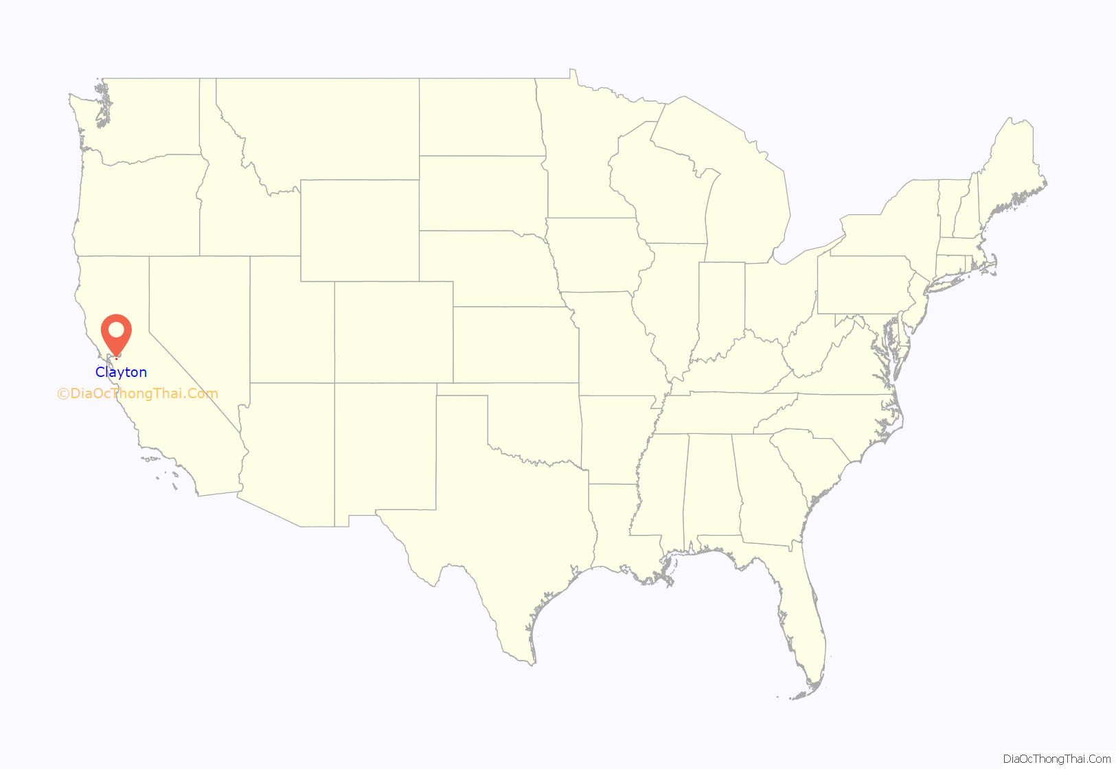
Clayton location map. Where is Clayton city?

History
In 1857, the town of Clayton was laid out and founded by Joel Henry Clayton (1812–1872) and his two younger brothers. Clayton was born in Bugsworth, now Buxworth, in the United Kingdom, and emigrated to the United States in 1837. After years in other states he settled down with his wife Margaret (1820–1908) at his town at the foot of Mount Diablo, where he and his family prospered. Clayton was named after Joel Henry Clayton, although only by the flip of a coin. Joel Clayton and Charles Rhine cofounded the town, and each wanted to name it after himself. If Charles had won it would have become Rhinesville, but Joel Clayton won. Joel and his wife Margaret both died in Clayton, and were buried in Live Oak Cemetery in what is now Concord, CA.
Clayton prospered during the coal mining boom in eastern Contra Costa County. The post office opened in 1861. Following a previous incorporation attempt in 1960, Clayton incorporated in 1964 in order to stave off an annexation attempt in 1963 of the Cardinet Glen neighborhood by nearby Concord. After steady expansion during the 1970s to the east and west from its original boundaries, Clayton’s land area more than doubled in 1987 to near its present-day boundaries with the annexations of the Dana Hills/Dana Ridge and Clayton Wood subdivisions, as well as the former Keller Ranch property that was developed during the 1990s with the Oakhurst Country Club.
Fires
Wildfires have been a common occurrence in recent years as California had a major drought from 2011-2017.
On September 8, 2013, fire broke out on Mount Diablo. Called the Morgan Fire, it started at the mercury mine area of Morgan Territory Road. The fire grew quickly and threatened homes and livestock. Evacuations were ordered for several areas, including Oak Hill Lane and Curry Canyon. It took over 1000 firefighters and eight aircraft to extinguish it. Full containment was announced on September 14, 2013, having burned 3,100 acres (4.8 sq mi; 1,300 ha).
On July 25, 2018, a vegetation fire broke out on Marsh Creek Rd near Morgan Territory. One home and 3 out buildings were destroyed. Evacuations were ordered for that evening. By July 28 the fire was 100% contained.
On August 16, 2020, Lightning strikes caused many fires across the state, one of which was another Morgan Fire which became part of the LNU Lightning Complex fires.
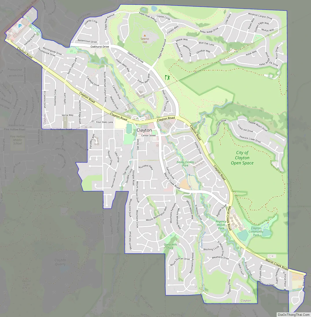
Clayton Road Map
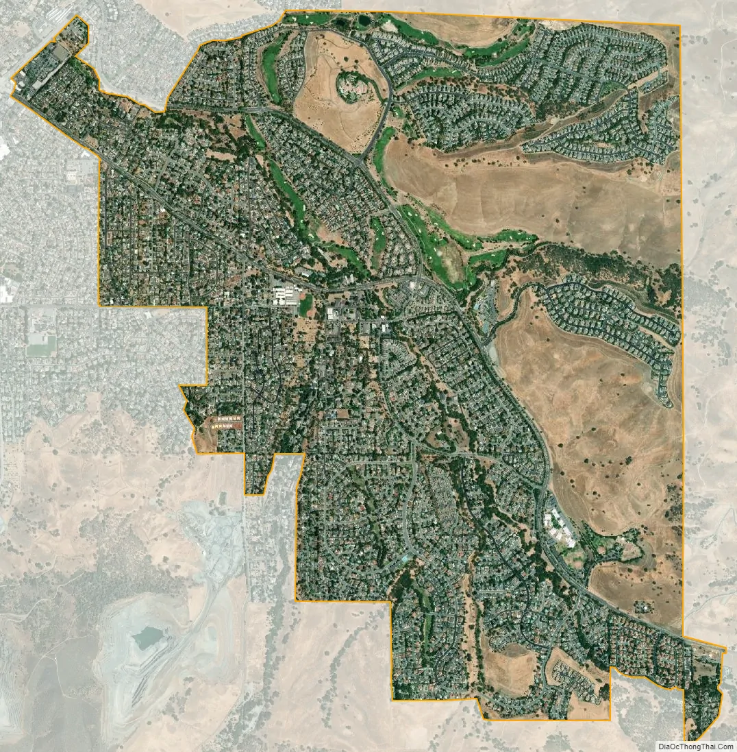
Clayton city Satellite Map
Geography
According to the United States Census Bureau, the city has a total area of 3.8 square miles (9.8 km), all land.
Clayton is located at the foot of Mt. Diablo.
Climate
This region experiences hot and dry summers. According to the Köppen Climate Classification system, Clayton has a warm-summer Mediterranean climate, abbreviated “Csb” on climate maps.
On December 7, 2009, snow fell in Clayton and Concord for the first time since the 1970s.
See also
Map of California State and its subdivision:- Alameda
- Alpine
- Amador
- Butte
- Calaveras
- Colusa
- Contra Costa
- Del Norte
- El Dorado
- Fresno
- Glenn
- Humboldt
- Imperial
- Inyo
- Kern
- Kings
- Lake
- Lassen
- Los Angeles
- Madera
- Marin
- Mariposa
- Mendocino
- Merced
- Modoc
- Mono
- Monterey
- Napa
- Nevada
- Orange
- Placer
- Plumas
- Riverside
- Sacramento
- San Benito
- San Bernardino
- San Diego
- San Francisco
- San Joaquin
- San Luis Obispo
- San Mateo
- Santa Barbara
- Santa Clara
- Santa Cruz
- Shasta
- Sierra
- Siskiyou
- Solano
- Sonoma
- Stanislaus
- Sutter
- Tehama
- Trinity
- Tulare
- Tuolumne
- Ventura
- Yolo
- Yuba
- Alabama
- Alaska
- Arizona
- Arkansas
- California
- Colorado
- Connecticut
- Delaware
- District of Columbia
- Florida
- Georgia
- Hawaii
- Idaho
- Illinois
- Indiana
- Iowa
- Kansas
- Kentucky
- Louisiana
- Maine
- Maryland
- Massachusetts
- Michigan
- Minnesota
- Mississippi
- Missouri
- Montana
- Nebraska
- Nevada
- New Hampshire
- New Jersey
- New Mexico
- New York
- North Carolina
- North Dakota
- Ohio
- Oklahoma
- Oregon
- Pennsylvania
- Rhode Island
- South Carolina
- South Dakota
- Tennessee
- Texas
- Utah
- Vermont
- Virginia
- Washington
- West Virginia
- Wisconsin
- Wyoming


