Clipper Mills (also, Clipper Mill) is a census-designated place in Butte County, California. It lies at an elevation of 3550 feet (1082 m). Clipper Mills has a post office, first established in 1861 and moved in 1891. Its zip code is 95930. Clipper Mills’s population was 142 at the 2010 census.
Clipper Mills’ history and economy is centered on the lumber industry. A sawmill started operating nearby in 1852, and by 1855 Clipper Mills had its own sawmills.
| Name: | Clipper Mills CDP |
|---|---|
| LSAD Code: | 57 |
| LSAD Description: | CDP (suffix) |
| State: | California |
| County: | Butte County |
| Elevation: | 3,550 ft (1,082 m) |
| Total Area: | 1.74 sq mi (4.50 km²) |
| Land Area: | 1.74 sq mi (4.50 km²) |
| Water Area: | 0.00 sq mi (0.00 km²) 0% |
| Total Population: | 160 |
| Population Density: | 92.01/sq mi (35.53/km²) |
| ZIP code: | 95930 |
| Area code: | 530 |
| FIPS code: | 0614148 |
Online Interactive Map
Click on ![]() to view map in "full screen" mode.
to view map in "full screen" mode.
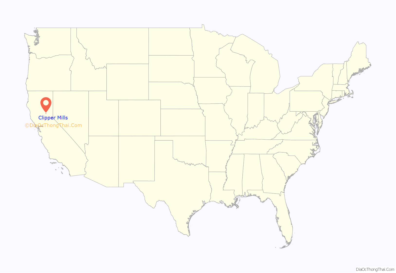
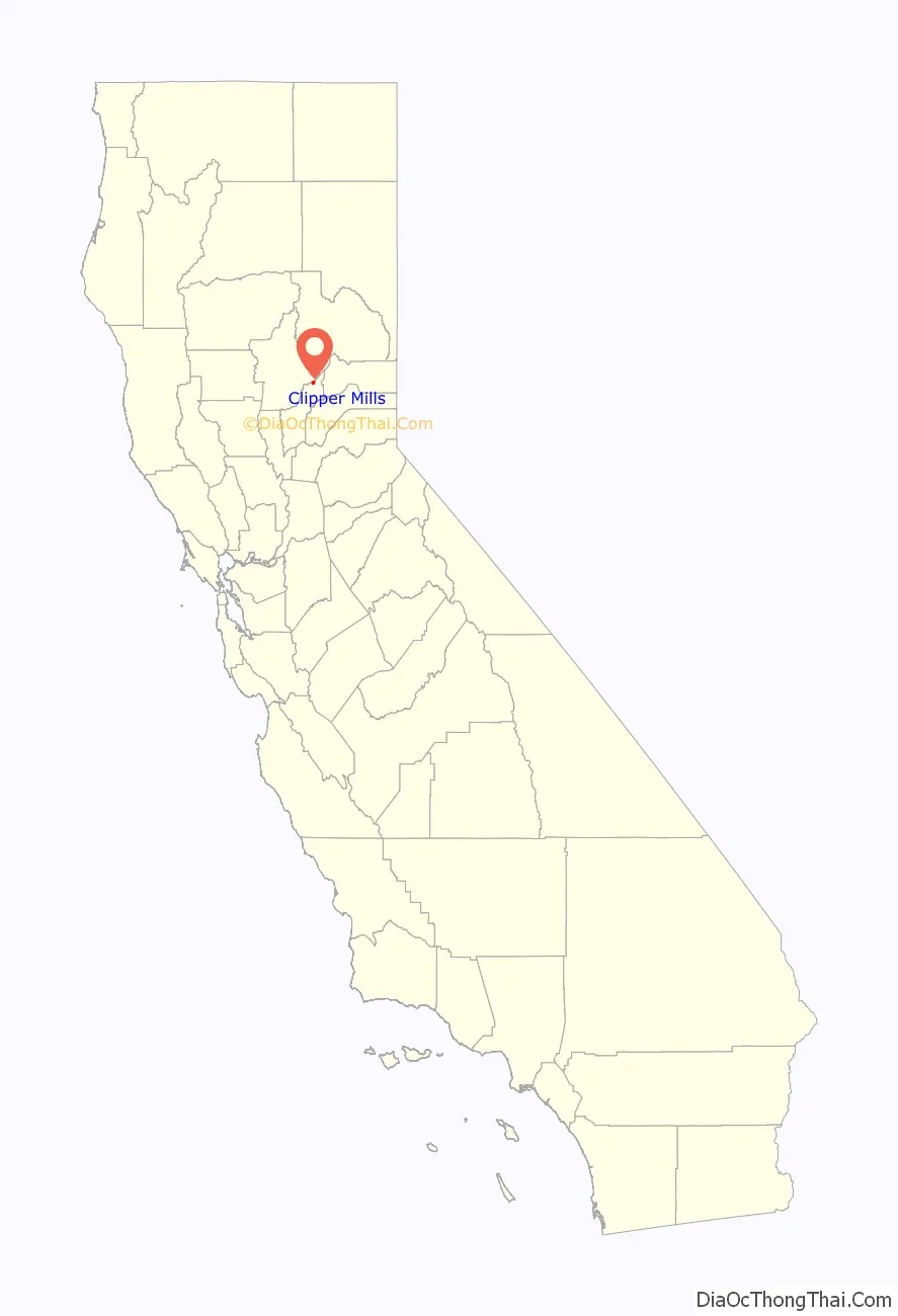
Clipper Mills location map. Where is Clipper Mills CDP?
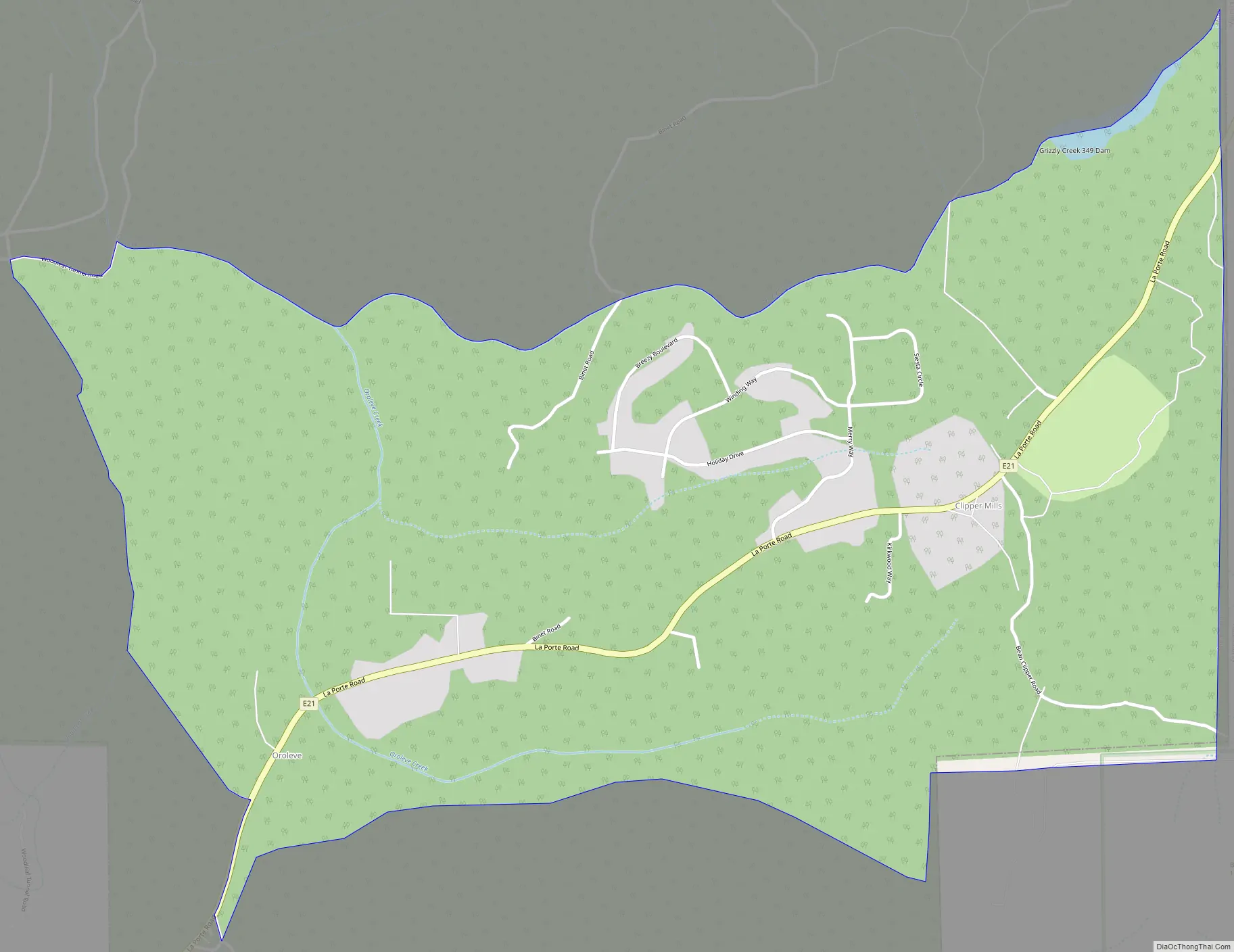
Clipper Mills Road Map
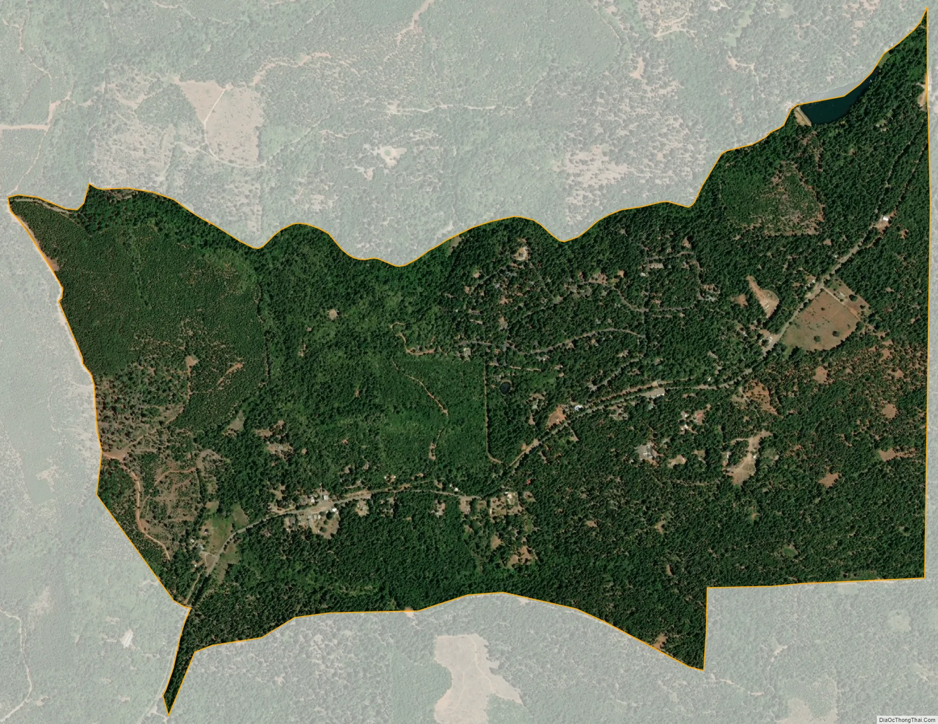
Clipper Mills city Satellite Map
See also
Map of California State and its subdivision:- Alameda
- Alpine
- Amador
- Butte
- Calaveras
- Colusa
- Contra Costa
- Del Norte
- El Dorado
- Fresno
- Glenn
- Humboldt
- Imperial
- Inyo
- Kern
- Kings
- Lake
- Lassen
- Los Angeles
- Madera
- Marin
- Mariposa
- Mendocino
- Merced
- Modoc
- Mono
- Monterey
- Napa
- Nevada
- Orange
- Placer
- Plumas
- Riverside
- Sacramento
- San Benito
- San Bernardino
- San Diego
- San Francisco
- San Joaquin
- San Luis Obispo
- San Mateo
- Santa Barbara
- Santa Clara
- Santa Cruz
- Shasta
- Sierra
- Siskiyou
- Solano
- Sonoma
- Stanislaus
- Sutter
- Tehama
- Trinity
- Tulare
- Tuolumne
- Ventura
- Yolo
- Yuba
- Alabama
- Alaska
- Arizona
- Arkansas
- California
- Colorado
- Connecticut
- Delaware
- District of Columbia
- Florida
- Georgia
- Hawaii
- Idaho
- Illinois
- Indiana
- Iowa
- Kansas
- Kentucky
- Louisiana
- Maine
- Maryland
- Massachusetts
- Michigan
- Minnesota
- Mississippi
- Missouri
- Montana
- Nebraska
- Nevada
- New Hampshire
- New Jersey
- New Mexico
- New York
- North Carolina
- North Dakota
- Ohio
- Oklahoma
- Oregon
- Pennsylvania
- Rhode Island
- South Carolina
- South Dakota
- Tennessee
- Texas
- Utah
- Vermont
- Virginia
- Washington
- West Virginia
- Wisconsin
- Wyoming


