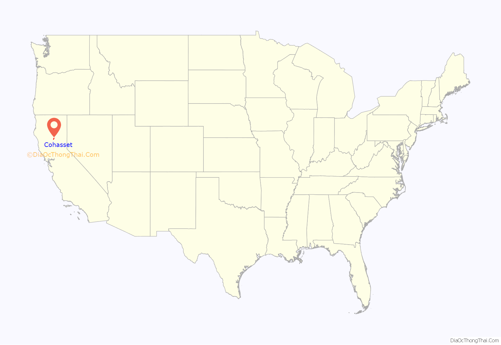
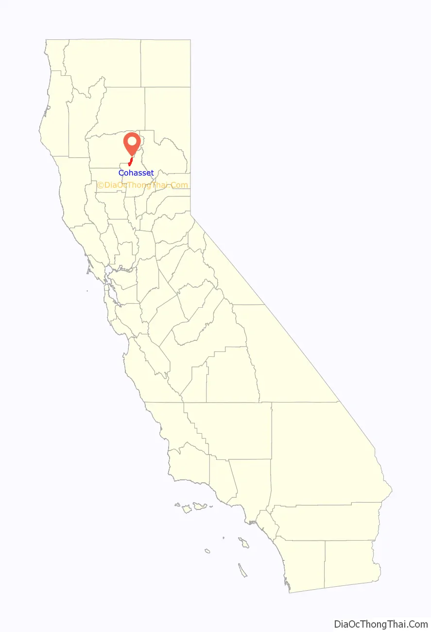
Cohasset (formerly, Keefers Ridge and North Point) is a census-designated place in Butte County, California, United States, approximately 17.7 miles (28.5 km) NNE of Chico, California. Its main street is named Cohasset Road, which comes from the Algonquian Indian language and means “long rocky place”. The population was 847 at the 2010 census.
The town is a mountain community at 2,828 feet (862 m) above mean sea level. It sits on Cohasset Ridge: an eleven-mile (18 km) ridge running roughly southwest-to-northeast. The U.S. Geological Survey feature ID is 1655909 and NAD27 coordinates for the community are 39°55′32″N 121°43′48″W / 39.92556°N 121.73000°W / 39.92556; -121.73000. The ZIP Code for the community is 95973, which is shared with about seven other nearby towns, and the area code 530.
The primary airport is the Chico Municipal Airport.
| Name: | Cohasset CDP |
|---|---|
| LSAD Code: | 57 |
| LSAD Description: | CDP (suffix) |
| State: | California |
| County: | Butte County |
| Elevation: | 2,828 ft (862 m) |
| Total Area: | 25.05 sq mi (64.87 km²) |
| Land Area: | 25.05 sq mi (64.87 km²) |
| Water Area: | 0.00 sq mi (0.00 km²) 0% |
| Total Population: | 830 |
| Population Density: | 33.14/sq mi (12.80/km²) |
| ZIP code: | 95973 |
| Area code: | 530 |
| FIPS code: | 0614442 |
Online Interactive Map
Click on ![]() to view map in "full screen" mode.
to view map in "full screen" mode.
Cohasset location map. Where is Cohasset CDP?
History
In the mid-19th century the local lumber and farming operations began, prior to which the Maidu inhabited the area for many generations. By the early 20th century, Cohasset was famous for its high quality apples. Today, they are better known for peaceful country living, the Annual Cohasset Bazaar, and the beauty of the Cohasset Ridge. A post office operated at Cohasset from 1888 to 1920. The early lumbermen designated the ridge after the pineries. A school district was formed July 16, 1878 to provide a place of learning for the children of the growing number of pioneer families and was given the name of North Point District. The entire ridge came to be known by the name of North Point. In 1887 the ridge residents requested the United States Government to establish a post office there, to be named North Point. The Post Office Department concurred in the need of a postal facility but balked at the requested name. There were already too many stations in the country with either North or Point in their names so it was requested that another name be selected. For a name selecting committee two young ladies of the ridge, Miss Marie Wilson and Miss Electa Welch (the school teacher) were appointed and they chose the name Cohasset, meaning “City of Pines” in the Algonquin Indian language. There was a precedent for this in Cohasset, Massachusetts, a charming resort town of pines and rocks located on the seacoast southeast of Boston. The new name was satisfactory and the first Cohasset, California post office was established February 20, 1888
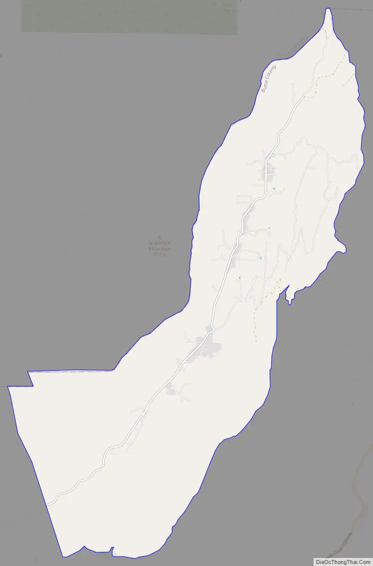
Cohasset Road Map
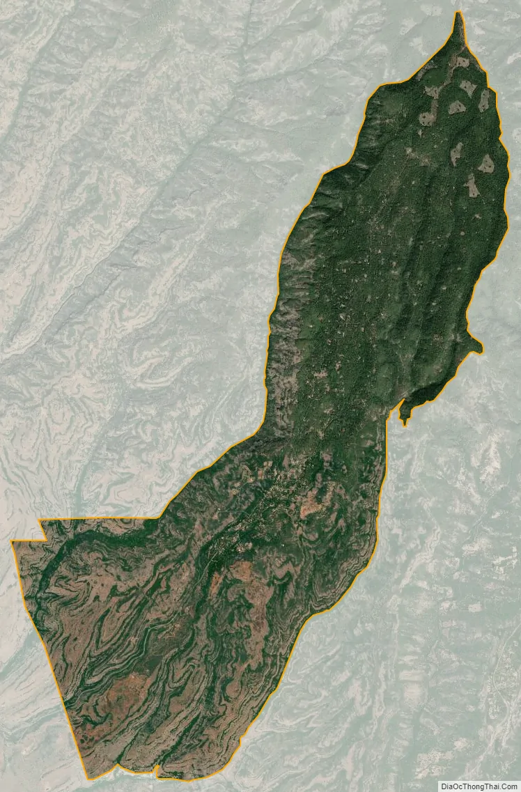
Cohasset city Satellite Map
See also
Map of California State and its subdivision:- Alameda
- Alpine
- Amador
- Butte
- Calaveras
- Colusa
- Contra Costa
- Del Norte
- El Dorado
- Fresno
- Glenn
- Humboldt
- Imperial
- Inyo
- Kern
- Kings
- Lake
- Lassen
- Los Angeles
- Madera
- Marin
- Mariposa
- Mendocino
- Merced
- Modoc
- Mono
- Monterey
- Napa
- Nevada
- Orange
- Placer
- Plumas
- Riverside
- Sacramento
- San Benito
- San Bernardino
- San Diego
- San Francisco
- San Joaquin
- San Luis Obispo
- San Mateo
- Santa Barbara
- Santa Clara
- Santa Cruz
- Shasta
- Sierra
- Siskiyou
- Solano
- Sonoma
- Stanislaus
- Sutter
- Tehama
- Trinity
- Tulare
- Tuolumne
- Ventura
- Yolo
- Yuba
- Alabama
- Alaska
- Arizona
- Arkansas
- California
- Colorado
- Connecticut
- Delaware
- District of Columbia
- Florida
- Georgia
- Hawaii
- Idaho
- Illinois
- Indiana
- Iowa
- Kansas
- Kentucky
- Louisiana
- Maine
- Maryland
- Massachusetts
- Michigan
- Minnesota
- Mississippi
- Missouri
- Montana
- Nebraska
- Nevada
- New Hampshire
- New Jersey
- New Mexico
- New York
- North Carolina
- North Dakota
- Ohio
- Oklahoma
- Oregon
- Pennsylvania
- Rhode Island
- South Carolina
- South Dakota
- Tennessee
- Texas
- Utah
- Vermont
- Virginia
- Washington
- West Virginia
- Wisconsin
- Wyoming


