Durham is a census-designated place (CDP) in Butte County, California, United States. The population was 5,518 at the 2010 census.
| Name: | Durham CDP |
|---|---|
| LSAD Code: | 57 |
| LSAD Description: | CDP (suffix) |
| State: | California |
| County: | Butte County |
| Elevation: | 161 ft (49 m) |
| Total Area: | 81.84 sq mi (211.96 km²) |
| Land Area: | 81.69 sq mi (211.57 km²) |
| Water Area: | 0.15 sq mi (0.39 km²) 0.19% |
| Total Population: | 5,834 |
| Population Density: | 71.42/sq mi (27.58/km²) |
| ZIP code: | 95938, 95958 |
| Area code: | 530 |
| FIPS code: | 0620270 |
Online Interactive Map
Click on ![]() to view map in "full screen" mode.
to view map in "full screen" mode.
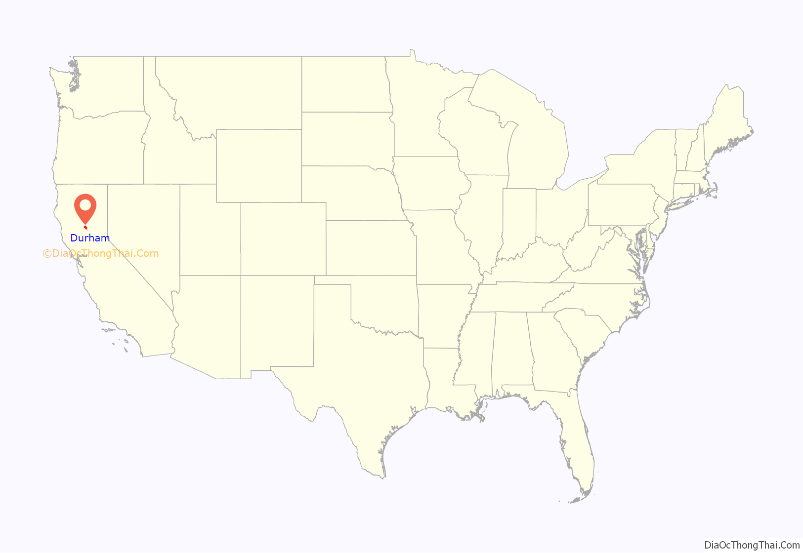
Durham location map. Where is Durham CDP?
History
Durham was an experimental cooperative agricultural colony established under the 1917 California State and Settlement Act (AICP Exam Prep 3.0, 2014).
Durham was founded by the Durham Family. It is named for W. W. Durham, member of the California State Assembly. The Durham House still stands today as a reminder of what Durham was back in its early years. Durham was a town in which a railroad ran through and still does today. The railroad is what developed this town and kept it alive. The Durham Flour Mill, which burned down several times, was an integral part of this community.
On June 1, 2011, a tornado rated EF1, struck south of Durham, uprooting thousands of almond trees, destroying an out building and damaging a barn.
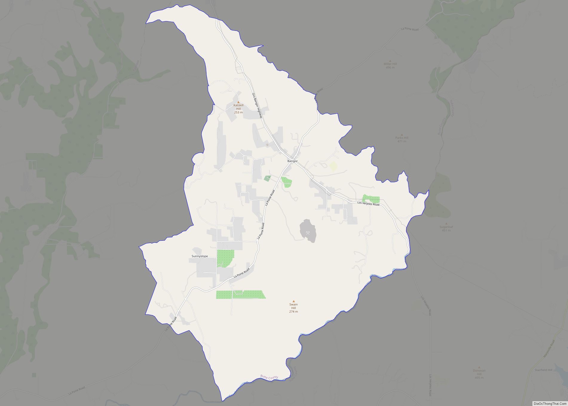
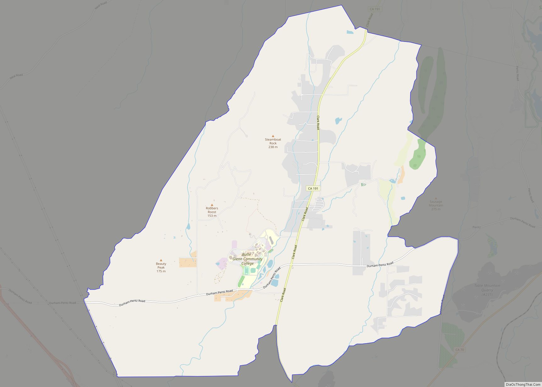
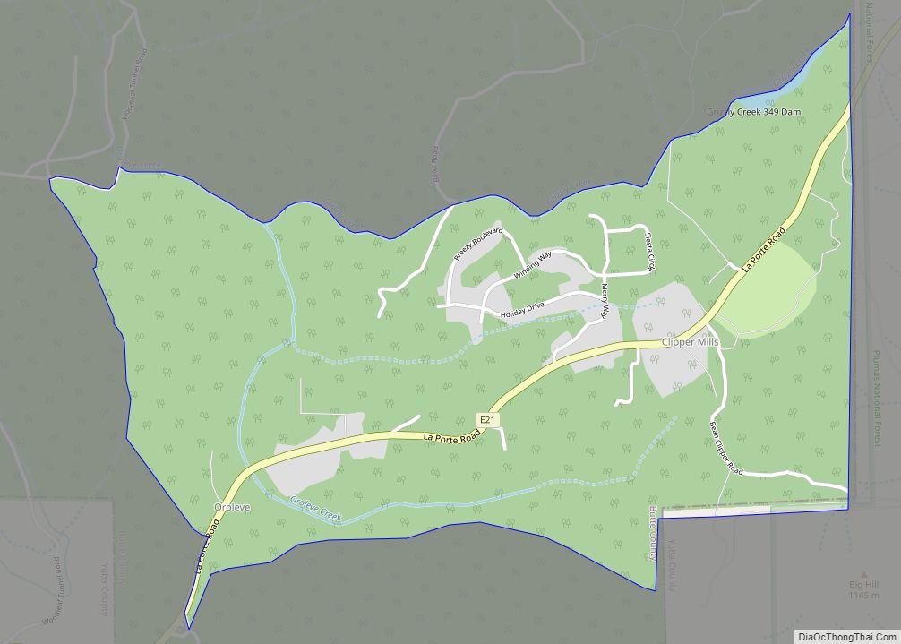
Durham Road Map
Durham city Satellite Map
Geography
According to the United States Census Bureau, the CDP has a total area of 81.9 square miles (212 km), of which, 81.8 square miles (212 km) of it is land and 0.14 square miles (0.36 km) of it (0.19%) is water. Durham’s main agricultural products are almonds and walnuts.
Climate
According to the Köppen Climate Classification system, Durham has a warm-summer Mediterranean climate, abbreviated “Csa” on climate maps.
See also
Map of California State and its subdivision:- Alameda
- Alpine
- Amador
- Butte
- Calaveras
- Colusa
- Contra Costa
- Del Norte
- El Dorado
- Fresno
- Glenn
- Humboldt
- Imperial
- Inyo
- Kern
- Kings
- Lake
- Lassen
- Los Angeles
- Madera
- Marin
- Mariposa
- Mendocino
- Merced
- Modoc
- Mono
- Monterey
- Napa
- Nevada
- Orange
- Placer
- Plumas
- Riverside
- Sacramento
- San Benito
- San Bernardino
- San Diego
- San Francisco
- San Joaquin
- San Luis Obispo
- San Mateo
- Santa Barbara
- Santa Clara
- Santa Cruz
- Shasta
- Sierra
- Siskiyou
- Solano
- Sonoma
- Stanislaus
- Sutter
- Tehama
- Trinity
- Tulare
- Tuolumne
- Ventura
- Yolo
- Yuba
- Alabama
- Alaska
- Arizona
- Arkansas
- California
- Colorado
- Connecticut
- Delaware
- District of Columbia
- Florida
- Georgia
- Hawaii
- Idaho
- Illinois
- Indiana
- Iowa
- Kansas
- Kentucky
- Louisiana
- Maine
- Maryland
- Massachusetts
- Michigan
- Minnesota
- Mississippi
- Missouri
- Montana
- Nebraska
- Nevada
- New Hampshire
- New Jersey
- New Mexico
- New York
- North Carolina
- North Dakota
- Ohio
- Oklahoma
- Oregon
- Pennsylvania
- Rhode Island
- South Carolina
- South Dakota
- Tennessee
- Texas
- Utah
- Vermont
- Virginia
- Washington
- West Virginia
- Wisconsin
- Wyoming
