East Richmond Heights is an unincorporated community and census-designated place (CDP) in western Contra Costa County, California, United States. Its population was 3,280 at the 2010 census.
| Name: | East Richmond Heights CDP |
|---|---|
| LSAD Code: | 57 |
| LSAD Description: | CDP (suffix) |
| State: | California |
| County: | Contra Costa County |
| Elevation: | 387 ft (118 m) |
| Total Area: | 0.580 sq mi (1.50 km²) |
| Land Area: | 0.580 sq mi (1.50 km²) |
| Water Area: | 0 sq mi (0 km²) 0% |
| Total Population: | 3,280 |
| Population Density: | 5,700/sq mi (2,200/km²) |
| ZIP code: | 94805 |
| Area code: | 510, 341 |
| FIPS code: | 0621061 |
Online Interactive Map
Click on ![]() to view map in "full screen" mode.
to view map in "full screen" mode.
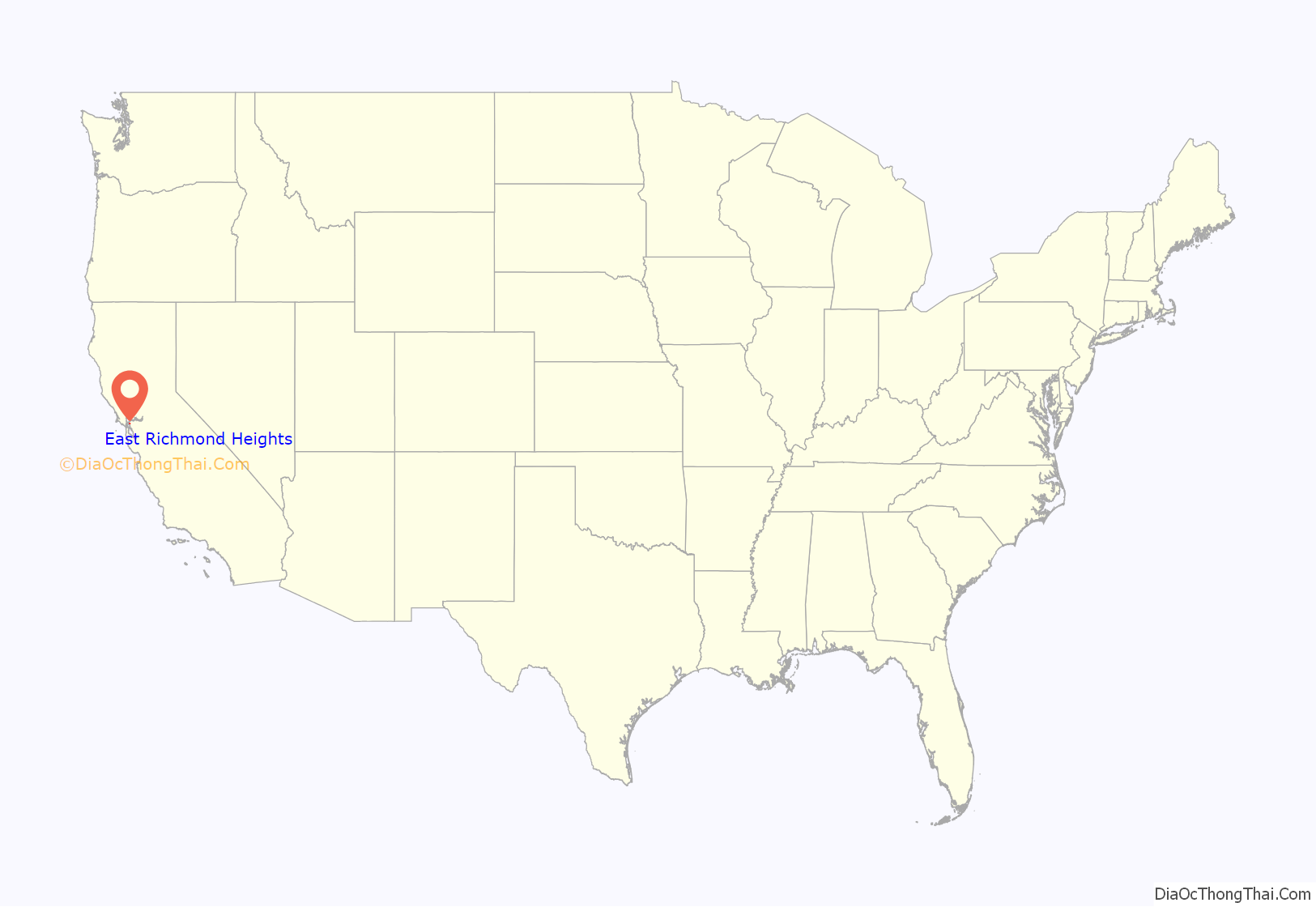
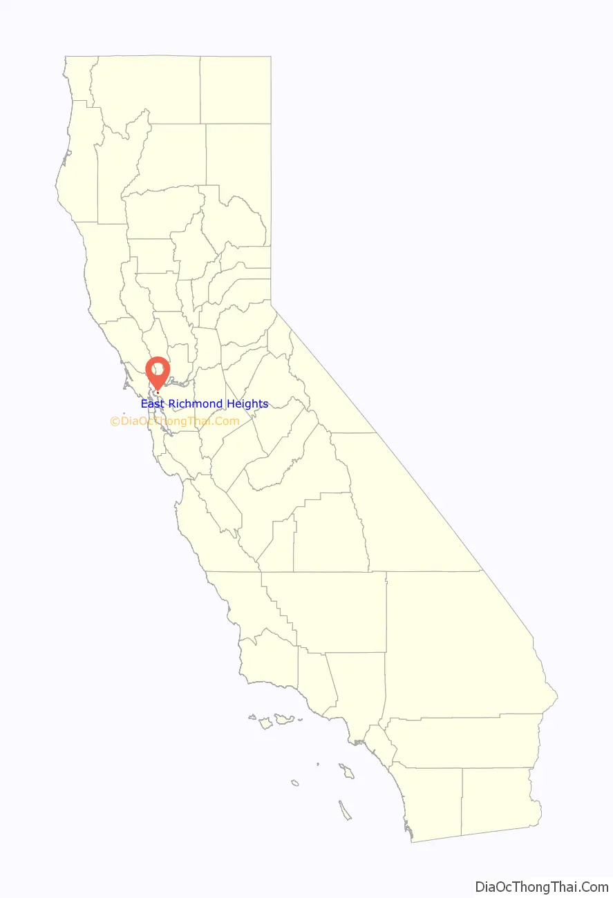
East Richmond Heights location map. Where is East Richmond Heights CDP?
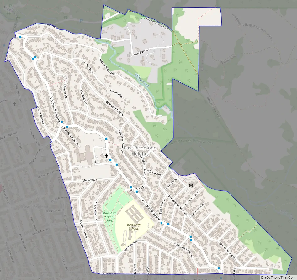
East Richmond Heights Road Map
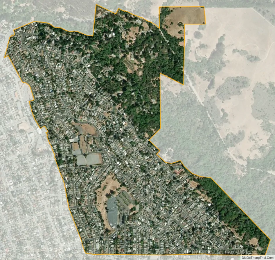
East Richmond Heights city Satellite Map
Geography
Situated at the north end of the Berkeley Hills, East Richmond Heights overlooks the northern part of the San Francisco Bay. This small residential community is bordered by El Cerrito to the south, with the Richmond Heights neighborhood of Richmond to the west, and Wildcat Canyon Regional Park to the north and east.
Arlington Boulevard, a major north-south thoroughfare traversing the Berkeley and El Cerrito portions of the Berkeley Hills, runs through the center of the community and terminates at its north end. Interstate 80 is located about one-half mile to the west, and provides access to the community via its Solano and McBryde Avenue exits.
According to the United States Census Bureau, the community has a total area of 0.6 square miles (1.6 km), all of it land.
See also
Map of California State and its subdivision:- Alameda
- Alpine
- Amador
- Butte
- Calaveras
- Colusa
- Contra Costa
- Del Norte
- El Dorado
- Fresno
- Glenn
- Humboldt
- Imperial
- Inyo
- Kern
- Kings
- Lake
- Lassen
- Los Angeles
- Madera
- Marin
- Mariposa
- Mendocino
- Merced
- Modoc
- Mono
- Monterey
- Napa
- Nevada
- Orange
- Placer
- Plumas
- Riverside
- Sacramento
- San Benito
- San Bernardino
- San Diego
- San Francisco
- San Joaquin
- San Luis Obispo
- San Mateo
- Santa Barbara
- Santa Clara
- Santa Cruz
- Shasta
- Sierra
- Siskiyou
- Solano
- Sonoma
- Stanislaus
- Sutter
- Tehama
- Trinity
- Tulare
- Tuolumne
- Ventura
- Yolo
- Yuba
- Alabama
- Alaska
- Arizona
- Arkansas
- California
- Colorado
- Connecticut
- Delaware
- District of Columbia
- Florida
- Georgia
- Hawaii
- Idaho
- Illinois
- Indiana
- Iowa
- Kansas
- Kentucky
- Louisiana
- Maine
- Maryland
- Massachusetts
- Michigan
- Minnesota
- Mississippi
- Missouri
- Montana
- Nebraska
- Nevada
- New Hampshire
- New Jersey
- New Mexico
- New York
- North Carolina
- North Dakota
- Ohio
- Oklahoma
- Oregon
- Pennsylvania
- Rhode Island
- South Carolina
- South Dakota
- Tennessee
- Texas
- Utah
- Vermont
- Virginia
- Washington
- West Virginia
- Wisconsin
- Wyoming


