Elkhorn is an unincorporated community and census-designated place (CDP) in Monterey County, California, United States.
Elkhorn was originally a stop on the Southern Pacific Railroad 4 miles (6 km) north of Castroville, at an elevation of 10 feet (3.0 m). The settled part of the community now occupies the hills to the east of the railroad. The population of the Elkhorn CDP was 1,588 at the 2020 census. Local understandings of the extent of Elkhorn may vary from the Census definition.
Elkhorn was named after the elk in the area that have since gone extinct.
| Name: | Elkhorn CDP |
|---|---|
| LSAD Code: | 57 |
| LSAD Description: | CDP (suffix) |
| State: | California |
| County: | Monterey County |
| Elevation: | 10 ft (3 m) |
| Total Area: | 4.825 sq mi (12.50 km²) |
| Land Area: | 4.803 sq mi (12.44 km²) |
| Water Area: | 0.022 sq mi (0.06 km²) 0.46% |
| Total Population: | 1,588 |
| Population Density: | 330.6/sq mi (127.6/km²) |
| ZIP code: | 95012 (Castroville) 93907 (Prunedale) |
| Area code: | 831 |
| FIPS code: | 0622034 |
| GNISfeature ID: | 277507, 2408075 |
Online Interactive Map
Click on ![]() to view map in "full screen" mode.
to view map in "full screen" mode.
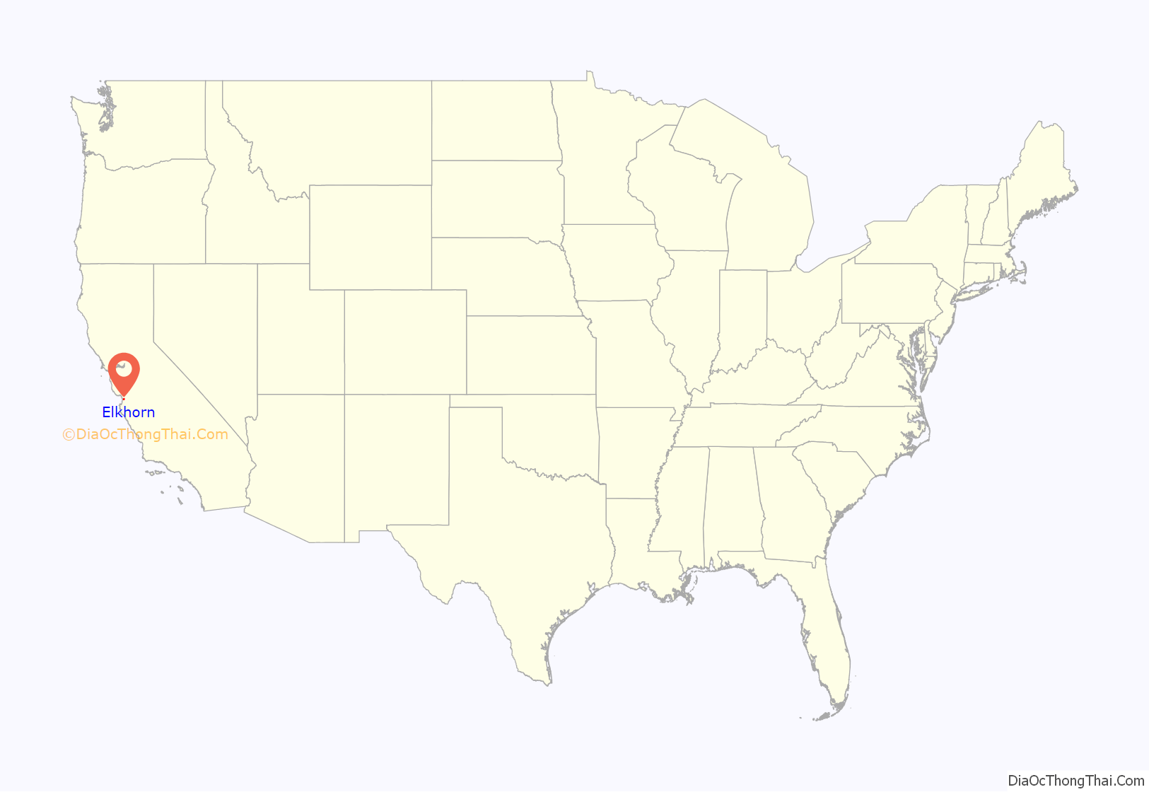
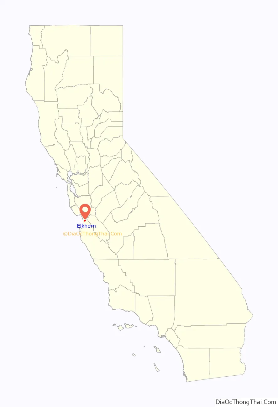
Elkhorn location map. Where is Elkhorn CDP?
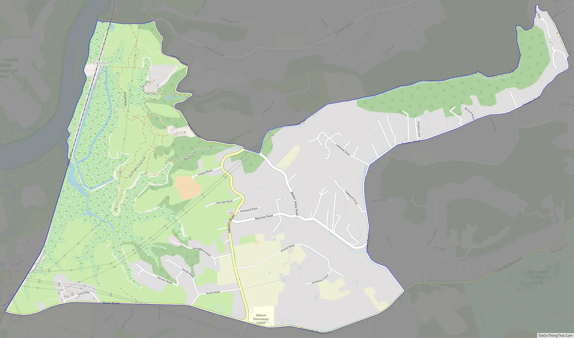
Elkhorn Road Map
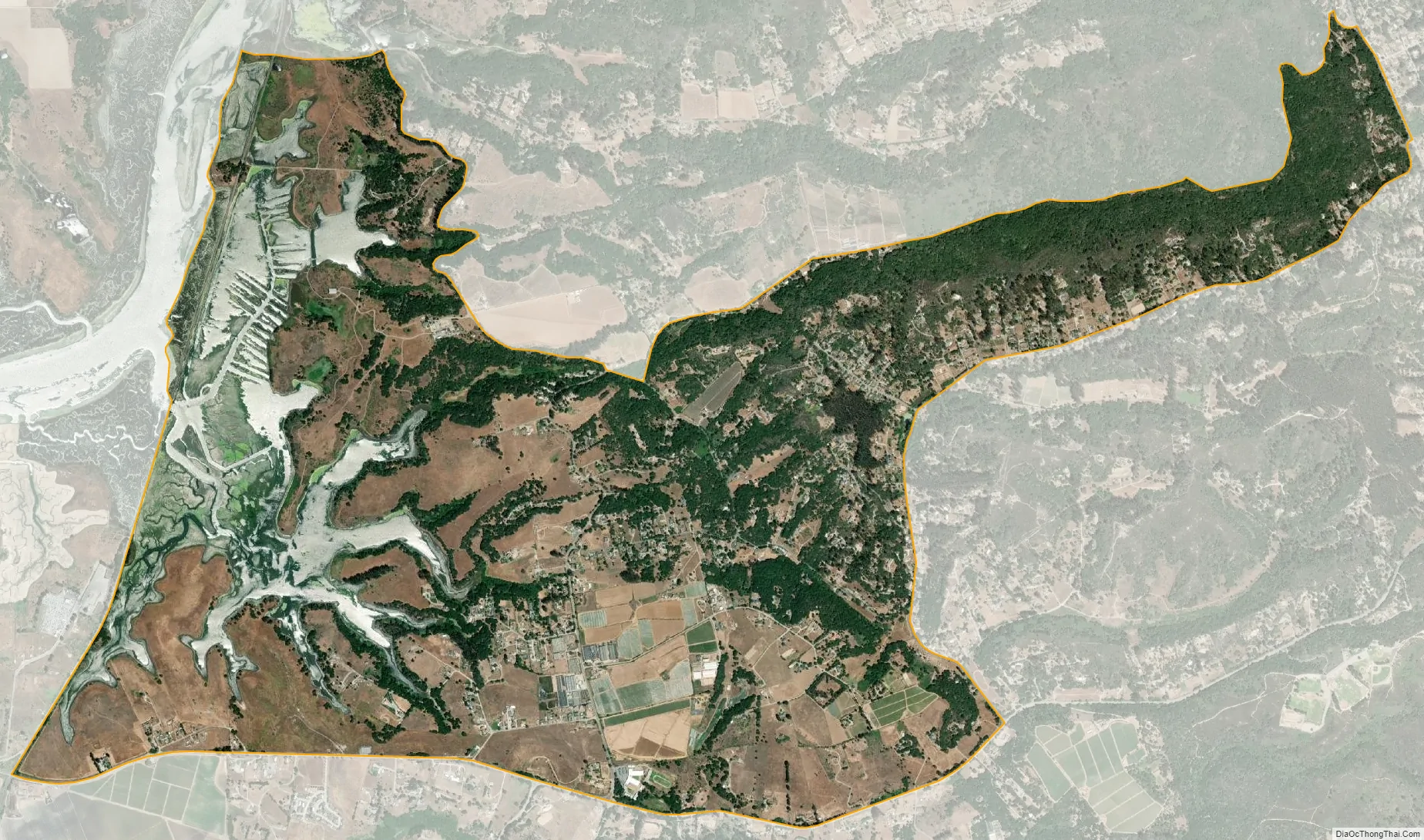
Elkhorn city Satellite Map
Geography
Elkhorn is in northern Monterey County, 14 miles (23 km) northwest of Salinas, the county seat; 7 miles (11 km) south of Watsonville; and 22 miles (35 km) northeast of Monterey. The community receives mail within the ZIP Code areas of 95012 (Castroville) and 93907 (Prunedale / Salinas). Elkhorn Slough, the largest tidal salt marsh in the area outside of San Francisco Bay, borders the northwest side of the community. The Elkhorn Slough National Estuarine Research Reserve promotes education about and preservation of the salt marsh environs.
According to the United States Census Bureau, the Elkhorn CDP has a total area of 4.8 square miles (12 km), of which 0.02 square miles (0.05 km), or 0.46%, are water.
Streets
Main county roads include Castroville Boulevard, Dolan Road, Elkhorn Road, and Meridian Road. Castroville Boulevard leads southwest to Highway 156 and east to the Prunedale area and U.S. Route 101. Dolan Road leads west to Highway 1. Minor county roads include Del Monte Farms, Bayview Road, Walker Valley Road, Long Valley Road, Amaral Road, Paradise Canyon Road.
See also
Map of California State and its subdivision:- Alameda
- Alpine
- Amador
- Butte
- Calaveras
- Colusa
- Contra Costa
- Del Norte
- El Dorado
- Fresno
- Glenn
- Humboldt
- Imperial
- Inyo
- Kern
- Kings
- Lake
- Lassen
- Los Angeles
- Madera
- Marin
- Mariposa
- Mendocino
- Merced
- Modoc
- Mono
- Monterey
- Napa
- Nevada
- Orange
- Placer
- Plumas
- Riverside
- Sacramento
- San Benito
- San Bernardino
- San Diego
- San Francisco
- San Joaquin
- San Luis Obispo
- San Mateo
- Santa Barbara
- Santa Clara
- Santa Cruz
- Shasta
- Sierra
- Siskiyou
- Solano
- Sonoma
- Stanislaus
- Sutter
- Tehama
- Trinity
- Tulare
- Tuolumne
- Ventura
- Yolo
- Yuba
- Alabama
- Alaska
- Arizona
- Arkansas
- California
- Colorado
- Connecticut
- Delaware
- District of Columbia
- Florida
- Georgia
- Hawaii
- Idaho
- Illinois
- Indiana
- Iowa
- Kansas
- Kentucky
- Louisiana
- Maine
- Maryland
- Massachusetts
- Michigan
- Minnesota
- Mississippi
- Missouri
- Montana
- Nebraska
- Nevada
- New Hampshire
- New Jersey
- New Mexico
- New York
- North Carolina
- North Dakota
- Ohio
- Oklahoma
- Oregon
- Pennsylvania
- Rhode Island
- South Carolina
- South Dakota
- Tennessee
- Texas
- Utah
- Vermont
- Virginia
- Washington
- West Virginia
- Wisconsin
- Wyoming


