Forbestown (formerly, Boles Dry Diggins and Forbes Diggins) is a census-designated place in Butte County, California. It lies at an elevation of 2772 feet (845 m). Its zip code is 95941 and its area code is 530. Forbestown had a population of 320 at the 2010 census.
Forbestown is named for B.F. Forbes, who opened a store there in 1850. The post office was established in 1854, closed in 1925, and re-opened in 1936.
Forbestown’s heyday was the last half of the nineteenth century, when it was a large mining center. By the late 1930s, it was nearly a ghost town. The site has foundations and debris from its mining era.
| Name: | Forbestown CDP |
|---|---|
| LSAD Code: | 57 |
| LSAD Description: | CDP (suffix) |
| State: | California |
| County: | Butte County |
| Elevation: | 2,772 ft (845 m) |
| Total Area: | 6.280 sq mi (16.265 km²) |
| Land Area: | 6.274 sq mi (16.250 km²) |
| Water Area: | 0.006 sq mi (0.015 km²) 0.09% |
| Total Population: | 320 |
| Population Density: | 51/sq mi (20/km²) |
| FIPS code: | 0624750 |
Online Interactive Map
Click on ![]() to view map in "full screen" mode.
to view map in "full screen" mode.
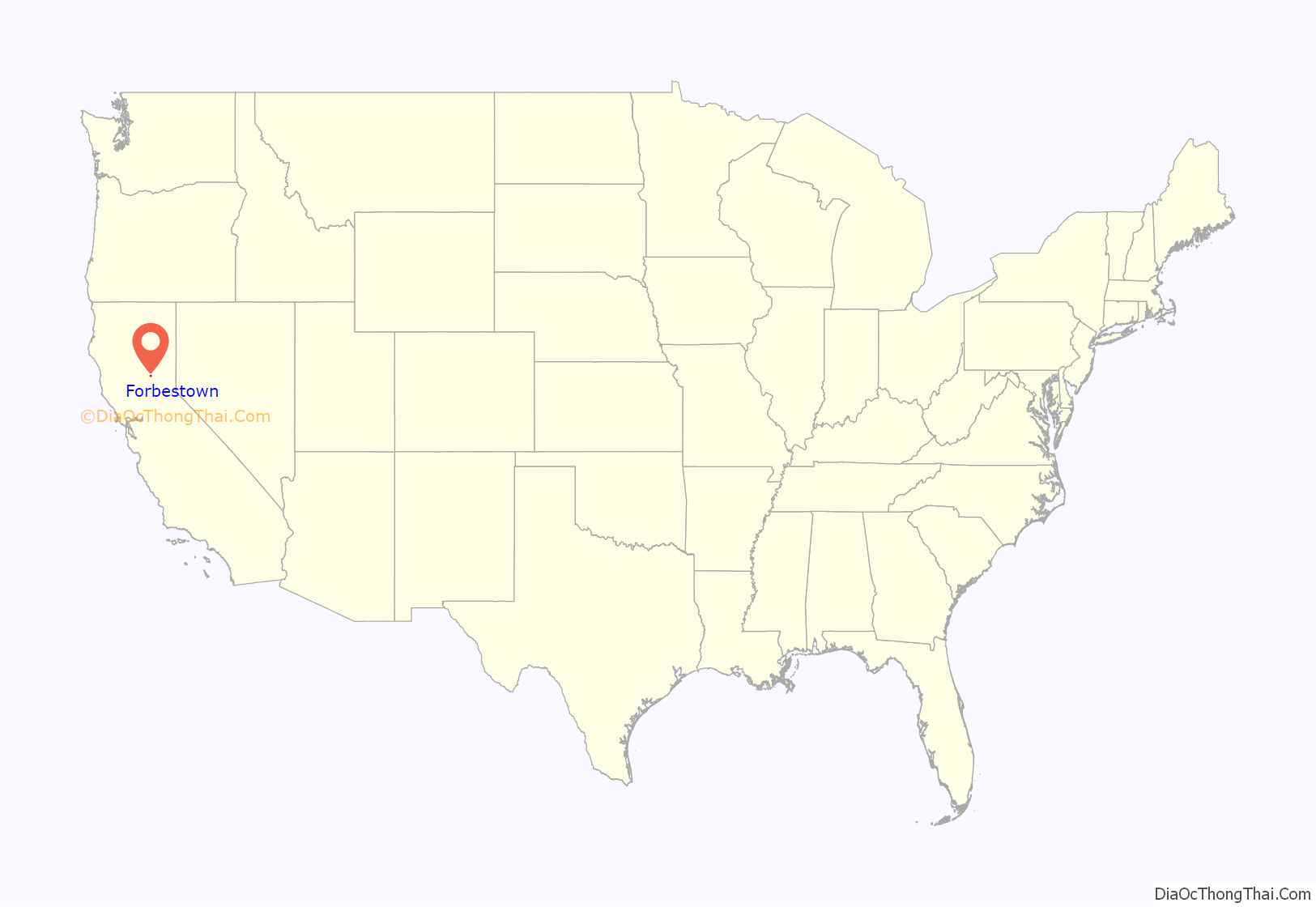
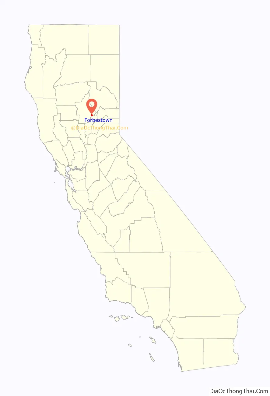
Forbestown location map. Where is Forbestown CDP?
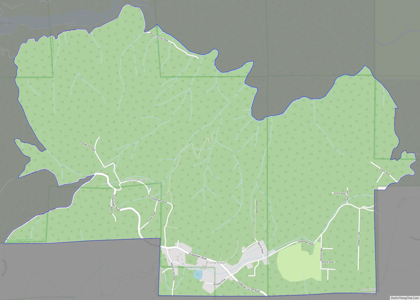
Forbestown Road Map
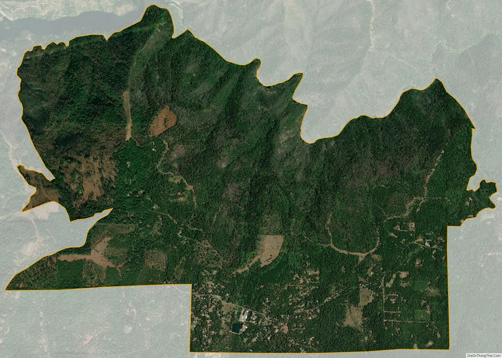
Forbestown city Satellite Map
See also
Map of California State and its subdivision:- Alameda
- Alpine
- Amador
- Butte
- Calaveras
- Colusa
- Contra Costa
- Del Norte
- El Dorado
- Fresno
- Glenn
- Humboldt
- Imperial
- Inyo
- Kern
- Kings
- Lake
- Lassen
- Los Angeles
- Madera
- Marin
- Mariposa
- Mendocino
- Merced
- Modoc
- Mono
- Monterey
- Napa
- Nevada
- Orange
- Placer
- Plumas
- Riverside
- Sacramento
- San Benito
- San Bernardino
- San Diego
- San Francisco
- San Joaquin
- San Luis Obispo
- San Mateo
- Santa Barbara
- Santa Clara
- Santa Cruz
- Shasta
- Sierra
- Siskiyou
- Solano
- Sonoma
- Stanislaus
- Sutter
- Tehama
- Trinity
- Tulare
- Tuolumne
- Ventura
- Yolo
- Yuba
- Alabama
- Alaska
- Arizona
- Arkansas
- California
- Colorado
- Connecticut
- Delaware
- District of Columbia
- Florida
- Georgia
- Hawaii
- Idaho
- Illinois
- Indiana
- Iowa
- Kansas
- Kentucky
- Louisiana
- Maine
- Maryland
- Massachusetts
- Michigan
- Minnesota
- Mississippi
- Missouri
- Montana
- Nebraska
- Nevada
- New Hampshire
- New Jersey
- New Mexico
- New York
- North Carolina
- North Dakota
- Ohio
- Oklahoma
- Oregon
- Pennsylvania
- Rhode Island
- South Carolina
- South Dakota
- Tennessee
- Texas
- Utah
- Vermont
- Virginia
- Washington
- West Virginia
- Wisconsin
- Wyoming


