Forest Ranch is an unincorporated community and census-designated place in Butte County, California. It includes Forest Ranch Charter School (K-8), its own post office, and a CDF and Volunteer fire stations. The community’s ZIP code is 95942, and is shared with the community of Butte Meadows. The area code is 530. Forest Ranch’s population was 1,184 at the 2010 census.
The US Geological Survey reports the town’s elevation as 2,415 feet (736 m) above mean sea level. The eastern end of the community is about 3,500 feet (1,067 m): about 1,000 feet (305 m) higher. This is high enough that residents occasionally get “snowed in.” Residents east of the center of the community report the snowfall is heavy enough to prevent driving about one to three days each year. This is only true of homes not located along State Route 32. Some residents commute to work in Chico, about fifteen driving miles west on SR32.
| Name: | Forest Ranch CDP |
|---|---|
| LSAD Code: | 57 |
| LSAD Description: | CDP (suffix) |
| State: | California |
| County: | Butte County |
| Elevation: | 2,415 ft (736 m) |
| Total Area: | 13.923 sq mi (36.060 km²) |
| Land Area: | 13.923 sq mi (36.060 km²) |
| Water Area: | 0 sq mi (0 km²) 0% |
| Total Population: | 1,184 |
| Population Density: | 85/sq mi (33/km²) |
| ZIP code: | 95942 |
| Area code: | 530 |
| FIPS code: | 0624918 |
Online Interactive Map
Click on ![]() to view map in "full screen" mode.
to view map in "full screen" mode.
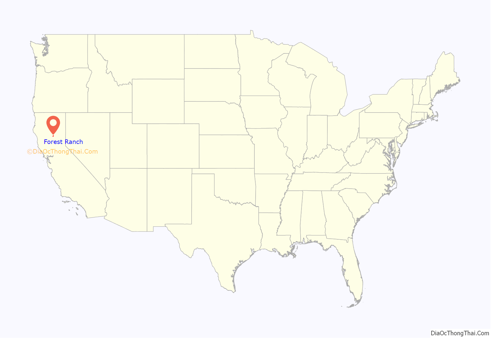
Forest Ranch location map. Where is Forest Ranch CDP?
History
Forest Ranch post office was opened in 1878, closed in 1926, and re-established in 1932, and moved several times in 1938 to its present location.
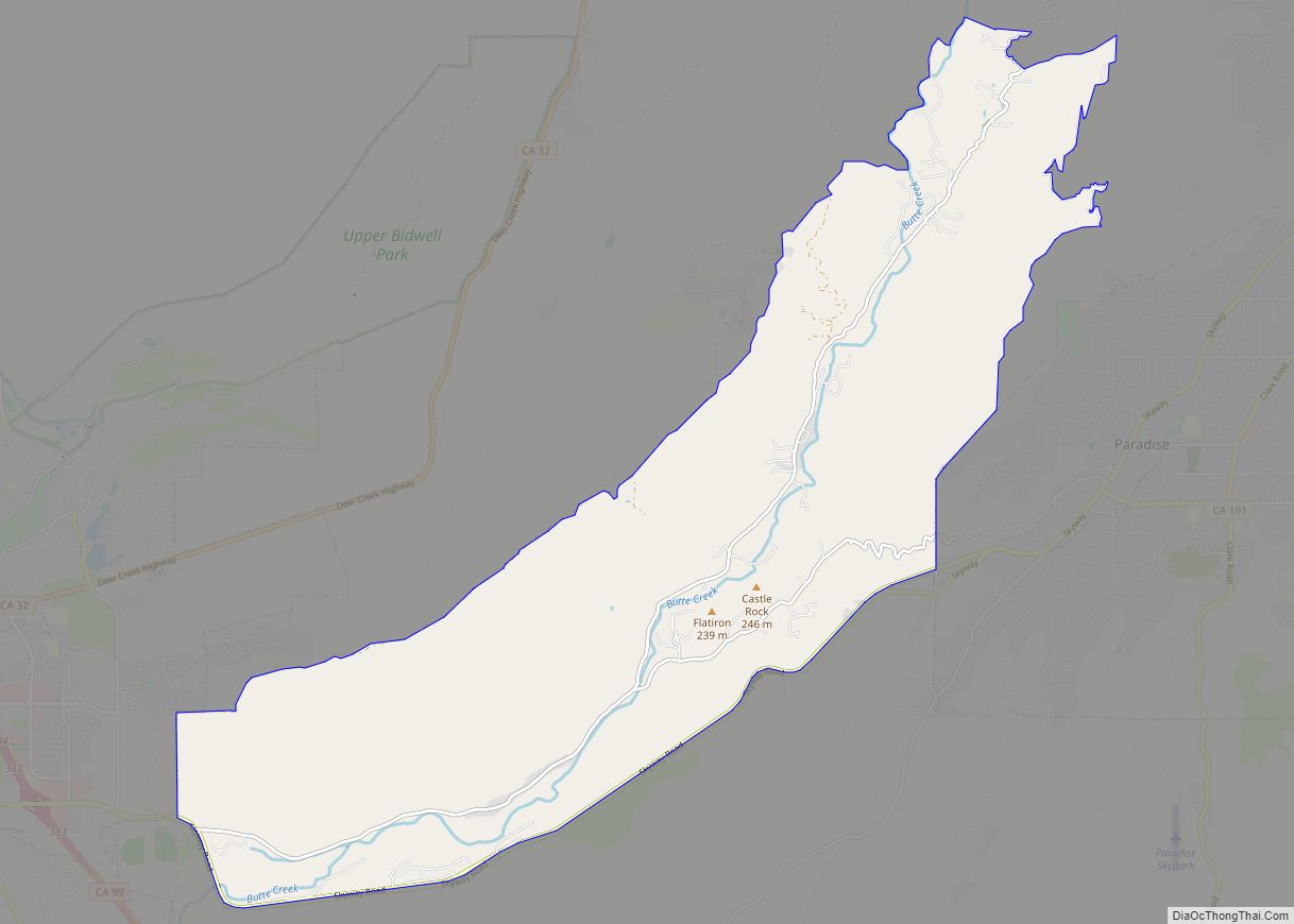
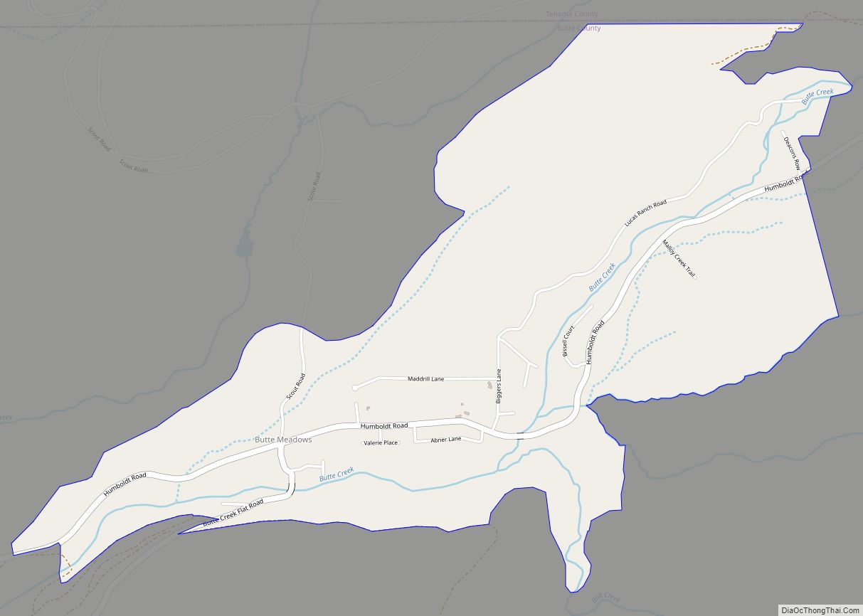
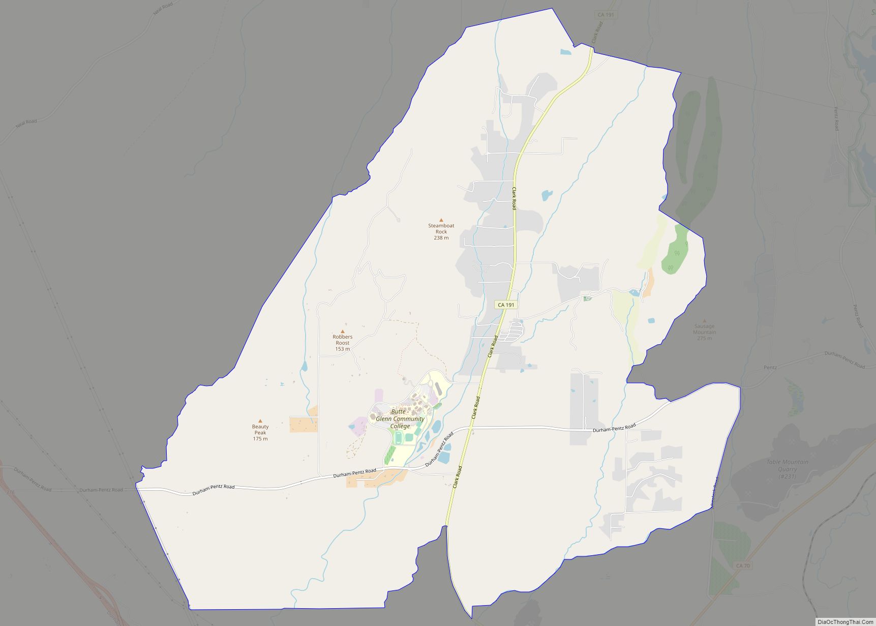
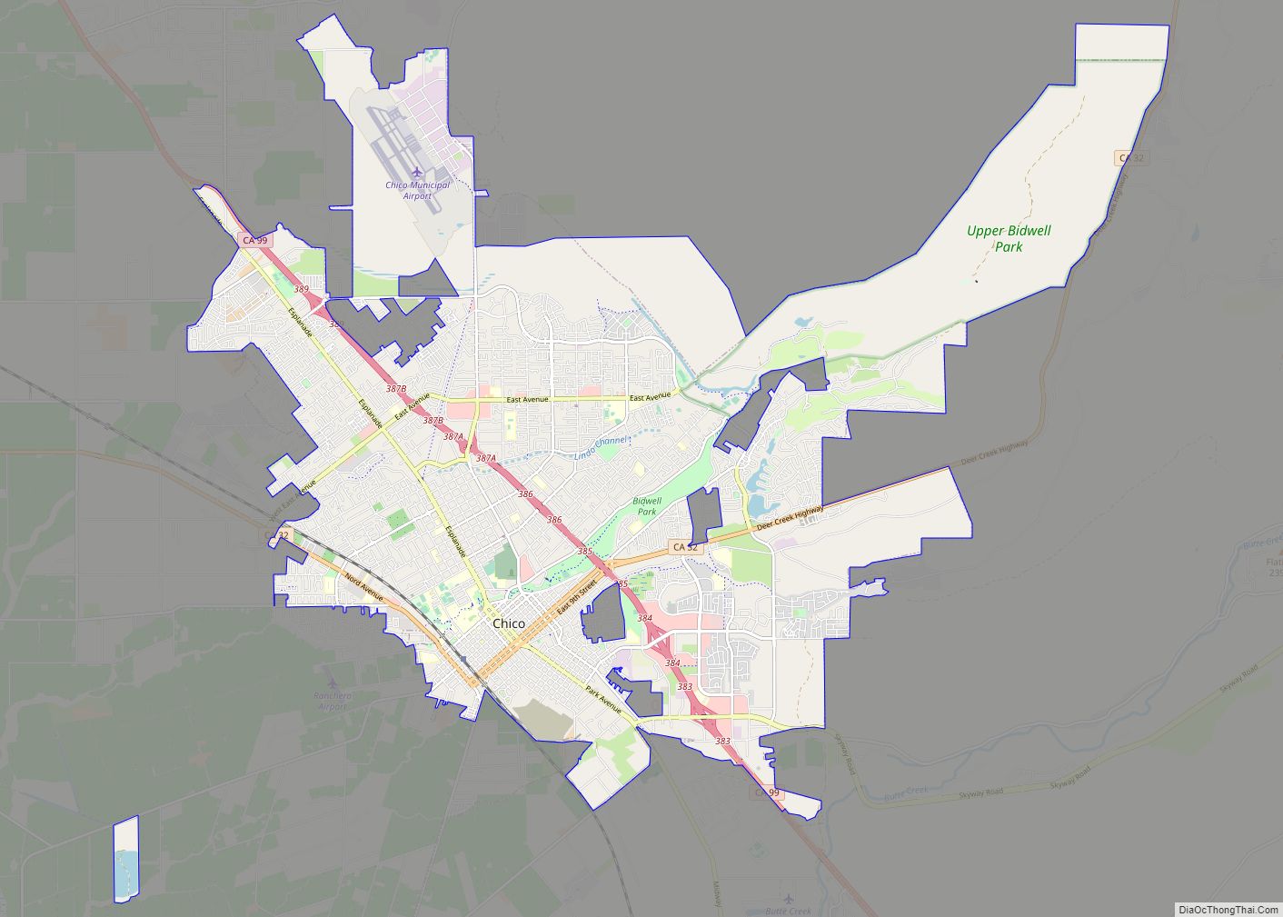
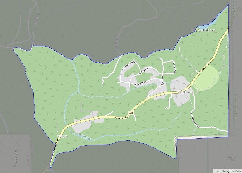
Forest Ranch Road Map
Forest Ranch city Satellite Map
See also
Map of California State and its subdivision:- Alameda
- Alpine
- Amador
- Butte
- Calaveras
- Colusa
- Contra Costa
- Del Norte
- El Dorado
- Fresno
- Glenn
- Humboldt
- Imperial
- Inyo
- Kern
- Kings
- Lake
- Lassen
- Los Angeles
- Madera
- Marin
- Mariposa
- Mendocino
- Merced
- Modoc
- Mono
- Monterey
- Napa
- Nevada
- Orange
- Placer
- Plumas
- Riverside
- Sacramento
- San Benito
- San Bernardino
- San Diego
- San Francisco
- San Joaquin
- San Luis Obispo
- San Mateo
- Santa Barbara
- Santa Clara
- Santa Cruz
- Shasta
- Sierra
- Siskiyou
- Solano
- Sonoma
- Stanislaus
- Sutter
- Tehama
- Trinity
- Tulare
- Tuolumne
- Ventura
- Yolo
- Yuba
- Alabama
- Alaska
- Arizona
- Arkansas
- California
- Colorado
- Connecticut
- Delaware
- District of Columbia
- Florida
- Georgia
- Hawaii
- Idaho
- Illinois
- Indiana
- Iowa
- Kansas
- Kentucky
- Louisiana
- Maine
- Maryland
- Massachusetts
- Michigan
- Minnesota
- Mississippi
- Missouri
- Montana
- Nebraska
- Nevada
- New Hampshire
- New Jersey
- New Mexico
- New York
- North Carolina
- North Dakota
- Ohio
- Oklahoma
- Oregon
- Pennsylvania
- Rhode Island
- South Carolina
- South Dakota
- Tennessee
- Texas
- Utah
- Vermont
- Virginia
- Washington
- West Virginia
- Wisconsin
- Wyoming
