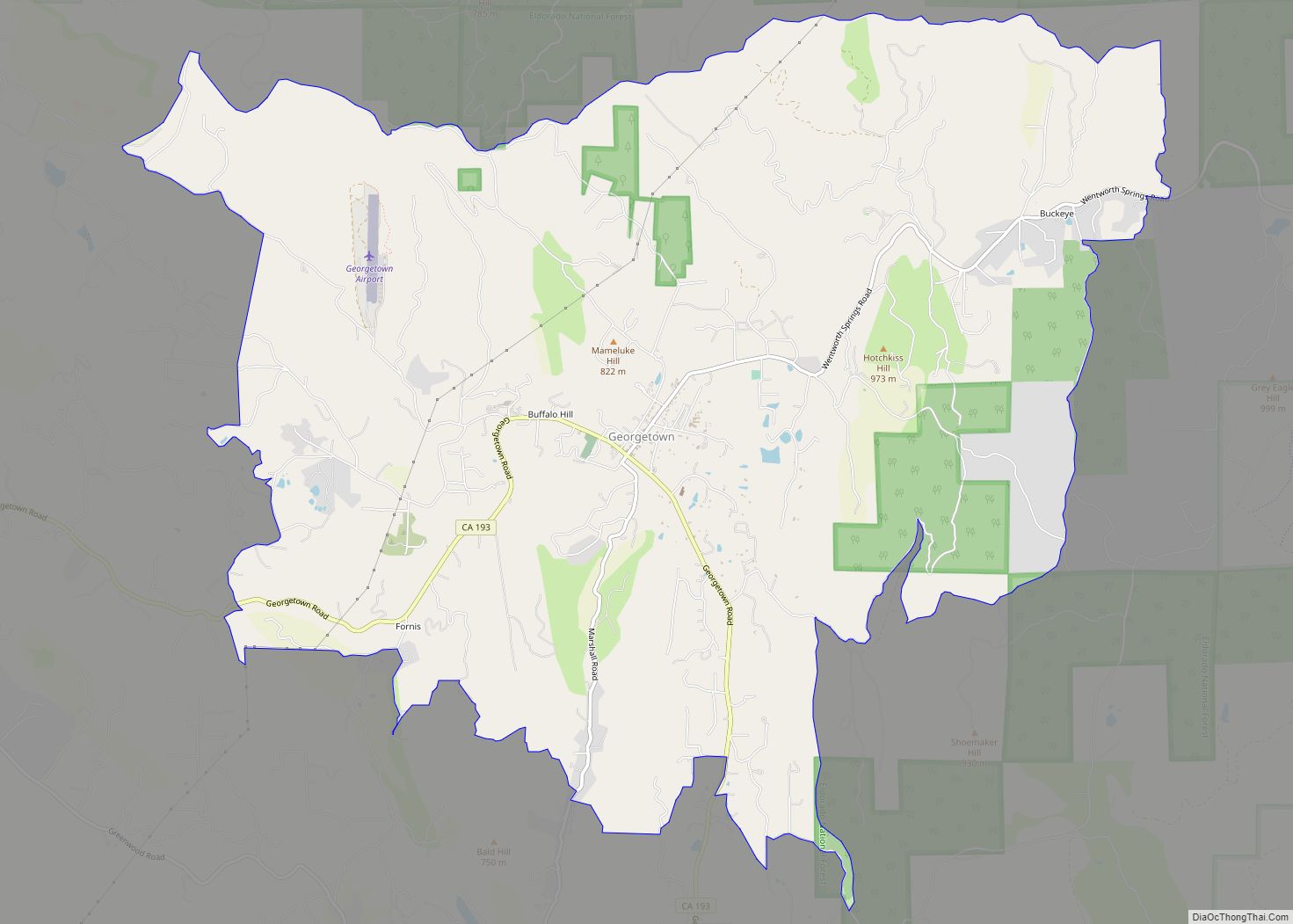
Georgetown (formerly Growlersburg) is a census-designated place (CDP) in El Dorado County, California. It is the northeasternmost town in the California Mother Lode. The population was 2,367 at the 2010 census, up from 962 in 2000. The town is registered as California Historical Landmark #484.
| Name: | Georgetown CDP |
|---|---|
| LSAD Code: | 57 |
| LSAD Description: | CDP (suffix) |
| State: | California |
| County: | El Dorado County |
| Elevation: | 2,654 ft (809 m) |
| Total Area: | 15.132 sq mi (39.193 km²) |
| Land Area: | 15.128 sq mi (39.182 km²) |
| Water Area: | 0.004 sq mi (0.011 km²) 0.03% |
| Total Population: | 2,367 |
| Population Density: | 160/sq mi (60/km²) |
| ZIP code: | 95634 |
| Area code: | 530 |
| FIPS code: | 0629350 |
| GNISfeature ID: | 1658606 |
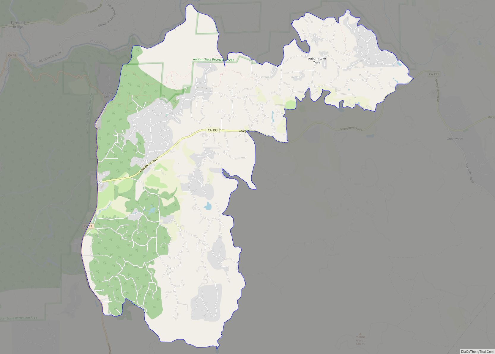
Online Interactive Map
Click on ![]() to view map in "full screen" mode.
to view map in "full screen" mode.
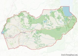
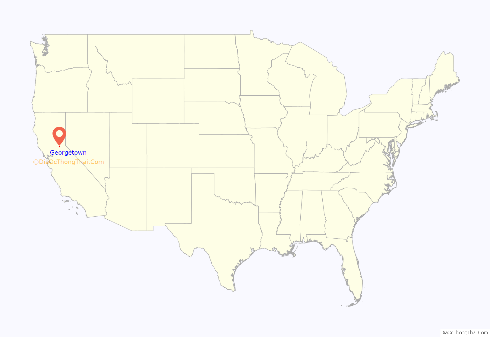
Georgetown location map. Where is Georgetown CDP?

History
Founded August 7, 1849, by George Phipps and party, Georgetown was nicknamed “Growlersburg” due to the heavy, gold-laden quartz rocks that “growled” in the miners’ pants as they walked around town. Georgetown is named for George Phipps. The first post office was established in 1851. After a disastrous fire in 1852, the old town was moved from the canyon in lower Main Street to its present site, and, unique in early-day planning, Main Street was laid out 100 feet (30 m) wide, with side streets 60 feet (18 m). After this new reconstruction, the residents of the city proclaimed their town as the “Pride of the Mountains”. The hub of an immensely rich gold mining area, Georgetown had a population of about three thousand from 1854 to 1856. As a gold rush camp, the community outlasted many other towns, because the gold found nearby was solid primary deposits, as opposed to placer deposits. Gold production continued until after the turn of the 20th century.
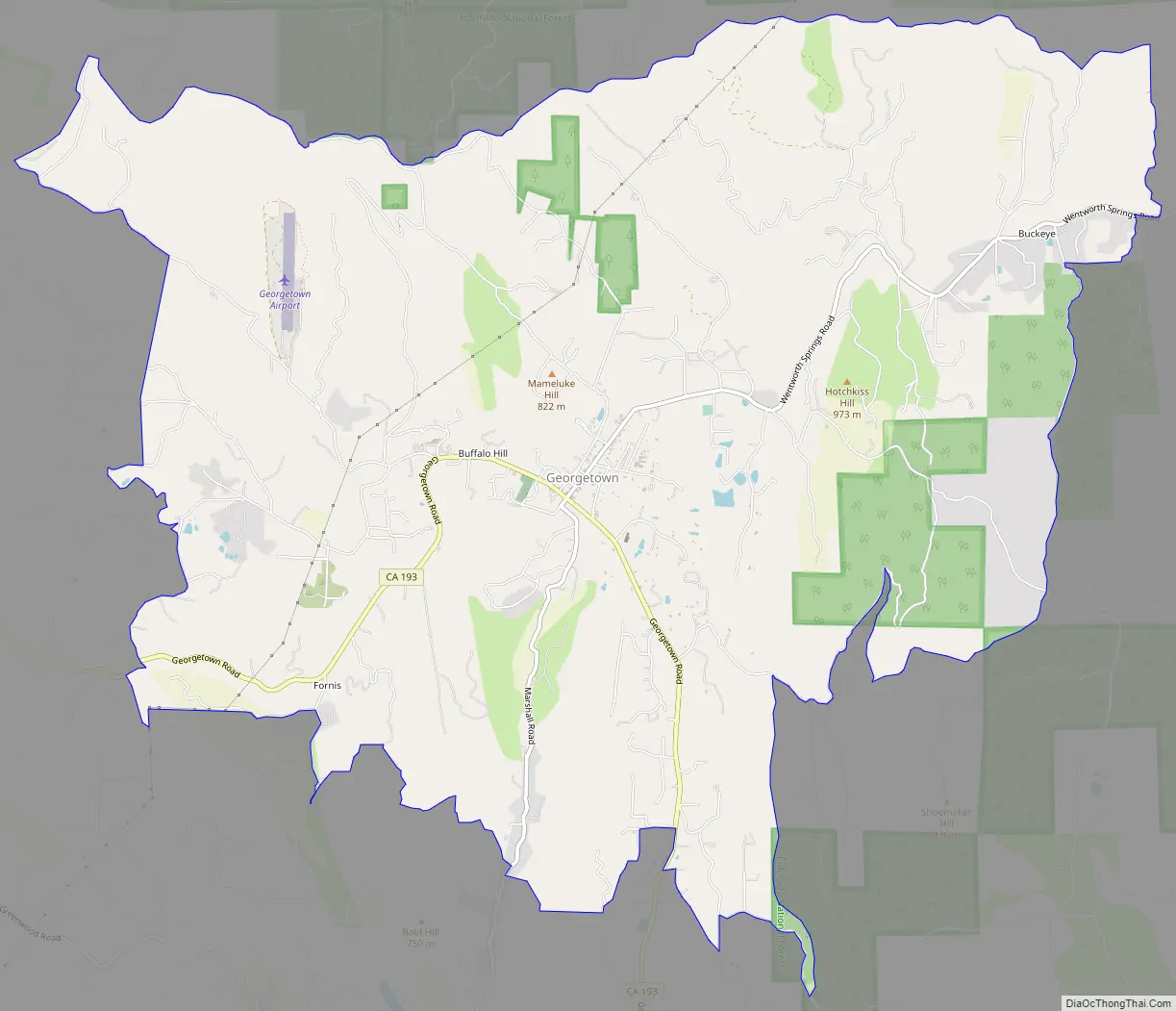
Georgetown Road Map
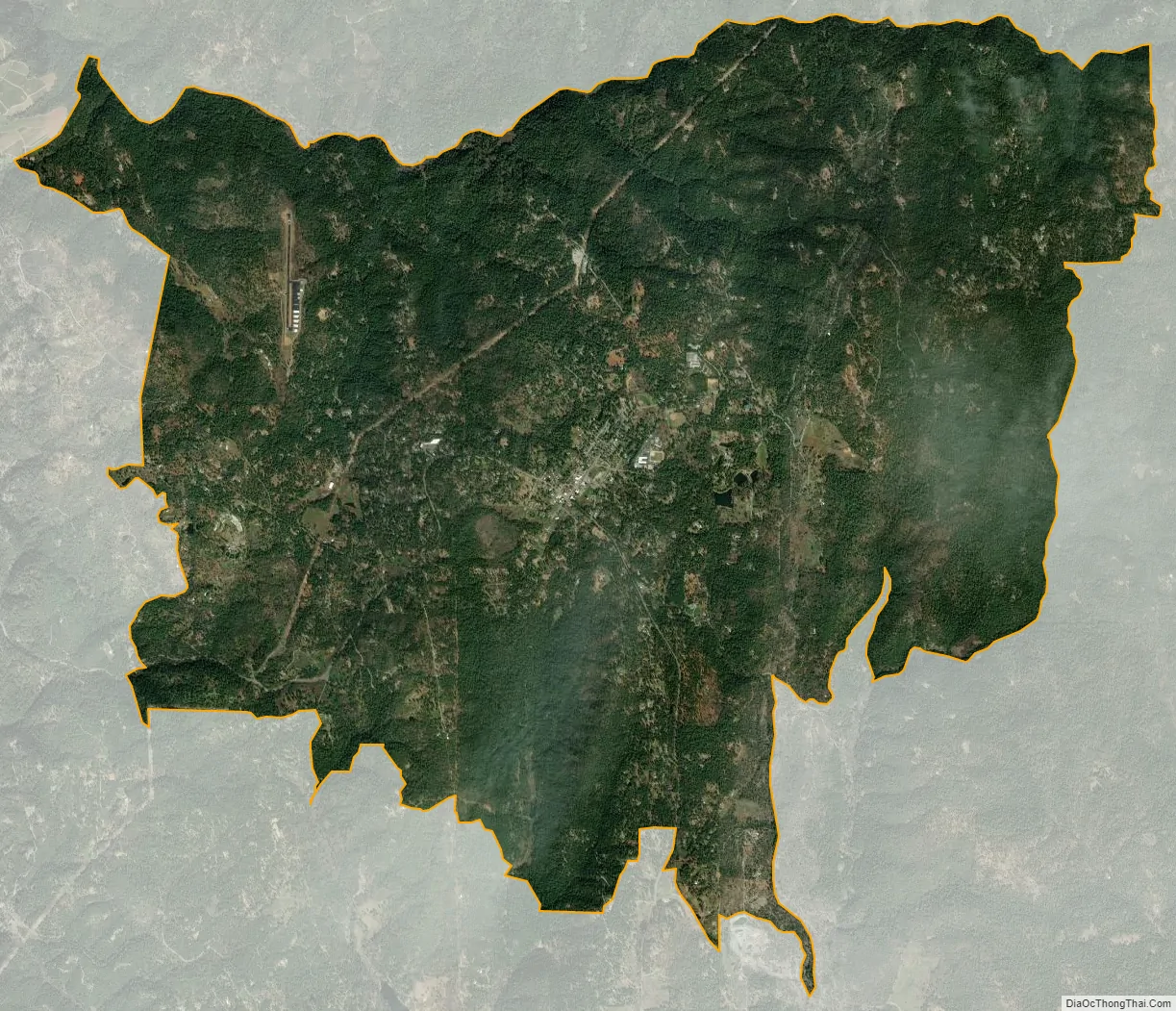
Georgetown city Satellite Map
Geography
According to the United States Census Bureau, the CDP has a total area of 15.1 square miles (39 km), of which over 99% is land.
For the 2000 census, the CDP’s area was smaller. It had a total area of 4.1 square miles (11 km), of which 4.1 square miles (11 km) was land and 0.24% was water.
Climate
According to the Köppen climate classification system, Georgetown has a warm-summer Mediterranean climate, abbreviated “Csa” on climate maps.
See also
Map of California State and its subdivision:- Alameda
- Alpine
- Amador
- Butte
- Calaveras
- Colusa
- Contra Costa
- Del Norte
- El Dorado
- Fresno
- Glenn
- Humboldt
- Imperial
- Inyo
- Kern
- Kings
- Lake
- Lassen
- Los Angeles
- Madera
- Marin
- Mariposa
- Mendocino
- Merced
- Modoc
- Mono
- Monterey
- Napa
- Nevada
- Orange
- Placer
- Plumas
- Riverside
- Sacramento
- San Benito
- San Bernardino
- San Diego
- San Francisco
- San Joaquin
- San Luis Obispo
- San Mateo
- Santa Barbara
- Santa Clara
- Santa Cruz
- Shasta
- Sierra
- Siskiyou
- Solano
- Sonoma
- Stanislaus
- Sutter
- Tehama
- Trinity
- Tulare
- Tuolumne
- Ventura
- Yolo
- Yuba
- Alabama
- Alaska
- Arizona
- Arkansas
- California
- Colorado
- Connecticut
- Delaware
- District of Columbia
- Florida
- Georgia
- Hawaii
- Idaho
- Illinois
- Indiana
- Iowa
- Kansas
- Kentucky
- Louisiana
- Maine
- Maryland
- Massachusetts
- Michigan
- Minnesota
- Mississippi
- Missouri
- Montana
- Nebraska
- Nevada
- New Hampshire
- New Jersey
- New Mexico
- New York
- North Carolina
- North Dakota
- Ohio
- Oklahoma
- Oregon
- Pennsylvania
- Rhode Island
- South Carolina
- South Dakota
- Tennessee
- Texas
- Utah
- Vermont
- Virginia
- Washington
- West Virginia
- Wisconsin
- Wyoming