Placerville (/ˈplæsərvɪl/, PLASS-ər-vil; formerly Old Dry Diggings, Dry Diggings, and Hangtown) is a city in and the county seat of El Dorado County, California. The population was 10,747 as of the 2020 census, up from 10,389 as of the 2010 census. It is part of the Sacramento–Arden-Arcade–Roseville Metropolitan Statistical Area.
| Name: | Placerville city |
|---|---|
| LSAD Code: | 25 |
| LSAD Description: | city (suffix) |
| State: | California |
| County: | El Dorado County |
| Incorporated: | May 13, 1854 |
| Elevation: | 1,867 ft (569 m) |
| Total Area: | 5.84 sq mi (15.13 km²) |
| Land Area: | 5.84 sq mi (15.13 km²) |
| Water Area: | 0.00 sq mi (0.00 km²) 0.01% |
| Total Population: | 10,747 |
| Population Density: | 1,913.53/sq mi (738.79/km²) |
| ZIP code: | 95667 |
| Area code: | 530 |
| FIPS code: | 0657540 |
| Website: | www.cityofplacerville.org |
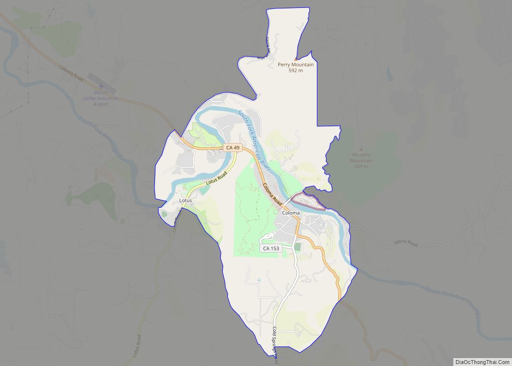
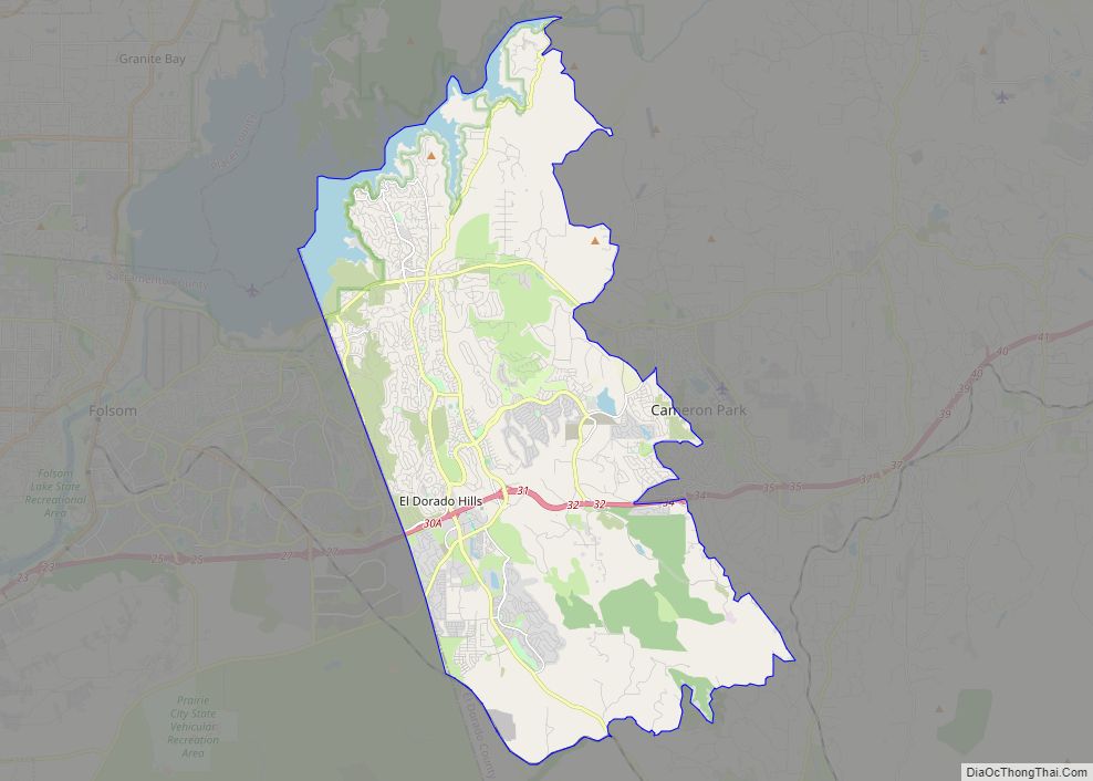
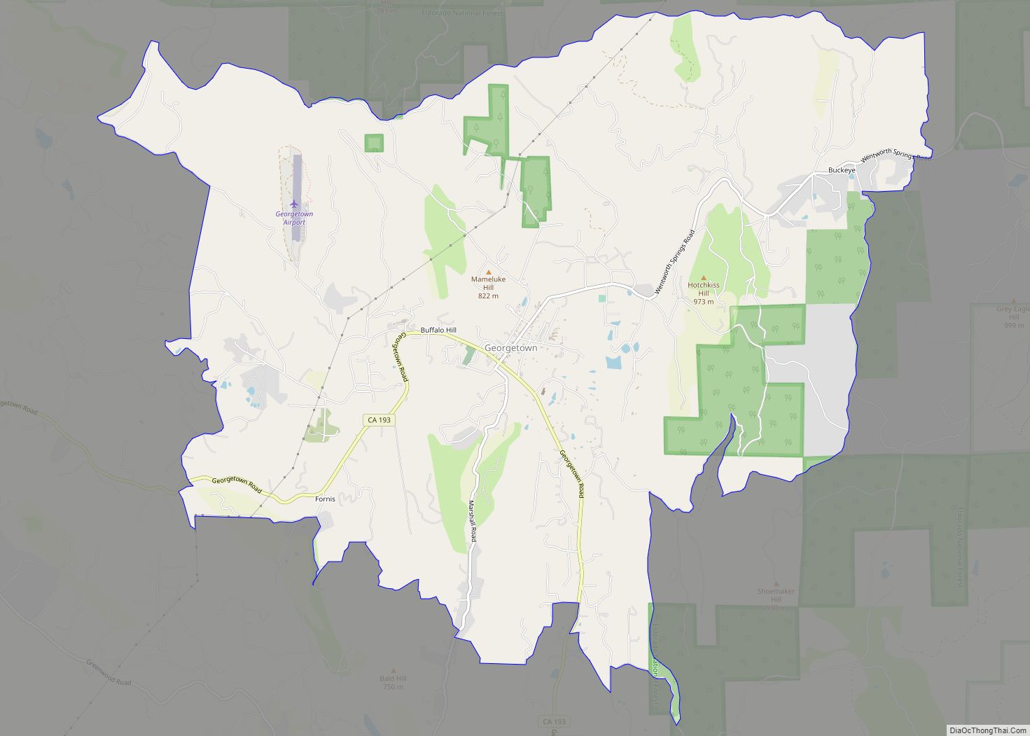
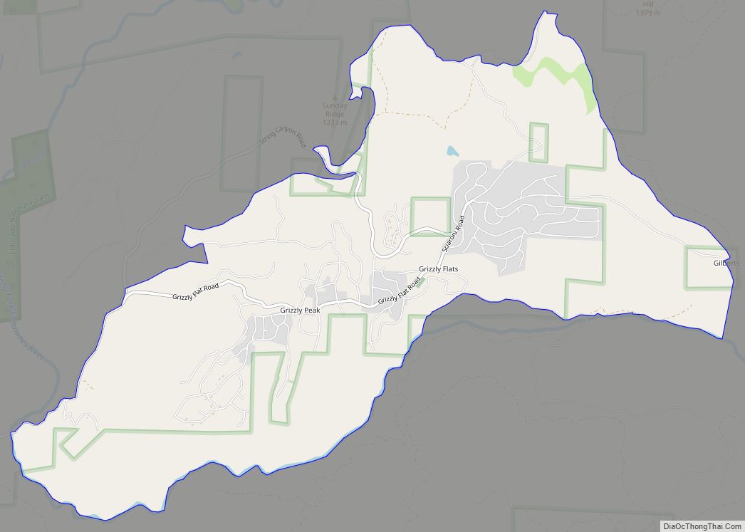
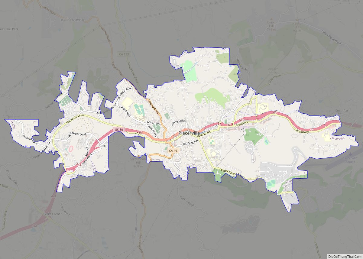
Online Interactive Map
Click on ![]() to view map in "full screen" mode.
to view map in "full screen" mode.
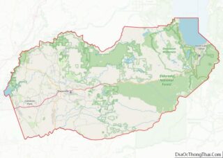
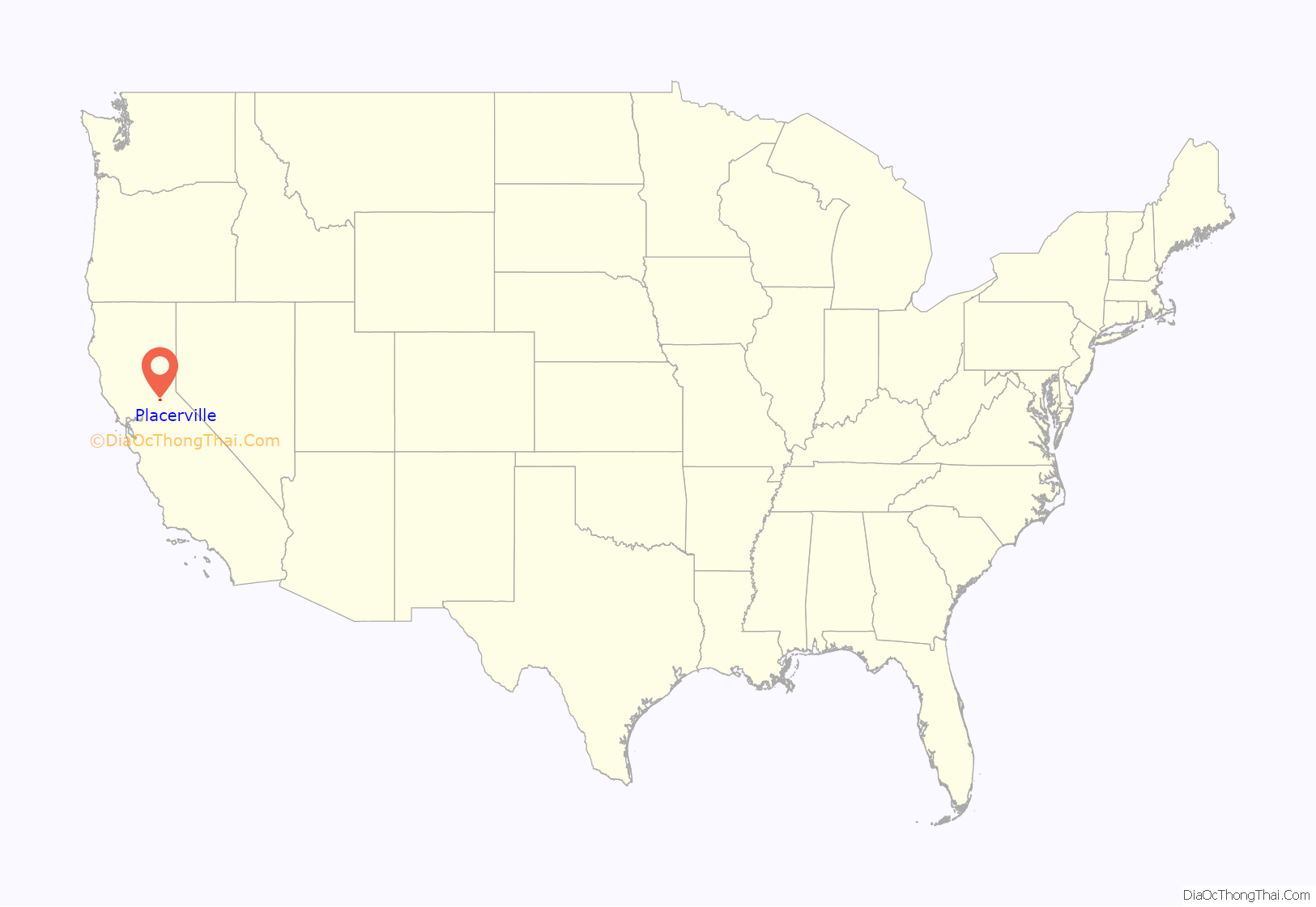
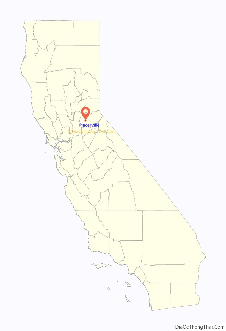
Placerville location map. Where is Placerville city?
History
A former Maidu settlement called Indak was located at the site of the town.
After the discovery of gold at Sutter’s Mill in nearby Coloma, California, by James W. Marshall in 1848 sparked the California Gold Rush, the small town now known as Placerville was known as Dry Diggin’s after the manner in which the miners moved cartloads of dry soil to run water to separate the gold from the soil.
Later in 1849, the town earned its most common historical name, “Hangtown”, because of the numerous hangings that had occurred there. However, there is debate on exactly how many lynchings occurred in the town. The town had no police force (in 1849) and five immigrants attempted robbery of a Mexican gambler. Of the five immigrants, two Frenchmen and one Chilean were known wanted men, and they were not given any trial, instead they were hanged on an oak tree on Main Street by a mob. The name “Hangtown” stuck after that event.
By about 1850, the temperance league and a few local churches had begun to request that a more friendly name be bestowed upon the town. The name was not changed until 1854 when the City of Placerville was incorporated, taking the name from the local placer gold deposits. At its incorporation, Placerville was the third largest town in California. In 1857, the county seat was then moved from Coloma to Placerville, where it remains today. The town’s first post office opened in 1850. In 1871, the Placerville Union Cemetery was founded by a group of fraternal organizations, and it holds the graves of many of the city founders.
Placerville was a central hub for the Mother Lode region’s mining operations. The town had many services, including transportation (of people and goods), lodging, banking, and had a market and general store. The history of hard-rock mining is evidenced by an open and accessible Gold Bug Park & Mine, now a museum with tours and books.
The Southern Pacific Railroad once had a branch line that extended from Sacramento to Placerville. The track was abandoned in the 1980s. The Camino, Placerville and Lake Tahoe Railroad (now abandoned) also operated an eight-mile (thirteen-kilometer) shortline that operated between Camino, California, and Placerville until June 17, 1986. The track right-of-way is now a 37-mile hiking and biking path that connects the city of Folsom, California to the town of Camino with plans to extend the trail across the entire El Dorado county and eventually to Lake Tahoe.
Placerville is now registered as California Historical Landmark #701.
Placerville’s logo featured a hangman’s noose, in reference to the town’s history as “Hangtown,” until 2021, when the town council voted to remove it. An earlier proposal to redesign the logo had been rejected in 2020.
Placerville Road Map
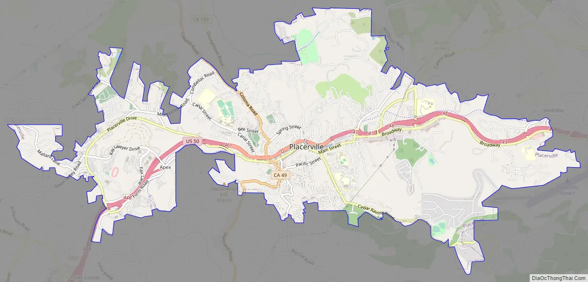
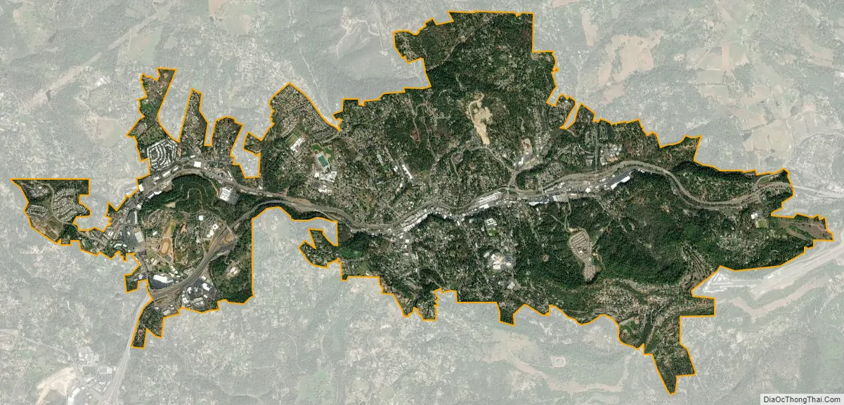
Placerville city Satellite Map
Geography
Placerville is located in the Sierra Nevada foothills where U.S. Route 50 crosses State Route 49. It is the location of three traffic signals along U.S. Route 50, which is otherwise a freeway.
Downtown Placerville is about 1,867 feet (569 m) above sea level, while unincorporated areas of the city range from 1,800 feet (550 m) to nearly 4,000 feet (1,200 m).
According to the United States Census Bureau, the city has a total area of 5.8 square miles (15 km), over 99% of it land.
See also
Map of California State and its subdivision:- Alameda
- Alpine
- Amador
- Butte
- Calaveras
- Colusa
- Contra Costa
- Del Norte
- El Dorado
- Fresno
- Glenn
- Humboldt
- Imperial
- Inyo
- Kern
- Kings
- Lake
- Lassen
- Los Angeles
- Madera
- Marin
- Mariposa
- Mendocino
- Merced
- Modoc
- Mono
- Monterey
- Napa
- Nevada
- Orange
- Placer
- Plumas
- Riverside
- Sacramento
- San Benito
- San Bernardino
- San Diego
- San Francisco
- San Joaquin
- San Luis Obispo
- San Mateo
- Santa Barbara
- Santa Clara
- Santa Cruz
- Shasta
- Sierra
- Siskiyou
- Solano
- Sonoma
- Stanislaus
- Sutter
- Tehama
- Trinity
- Tulare
- Tuolumne
- Ventura
- Yolo
- Yuba
- Alabama
- Alaska
- Arizona
- Arkansas
- California
- Colorado
- Connecticut
- Delaware
- District of Columbia
- Florida
- Georgia
- Hawaii
- Idaho
- Illinois
- Indiana
- Iowa
- Kansas
- Kentucky
- Louisiana
- Maine
- Maryland
- Massachusetts
- Michigan
- Minnesota
- Mississippi
- Missouri
- Montana
- Nebraska
- Nevada
- New Hampshire
- New Jersey
- New Mexico
- New York
- North Carolina
- North Dakota
- Ohio
- Oklahoma
- Oregon
- Pennsylvania
- Rhode Island
- South Carolina
- South Dakota
- Tennessee
- Texas
- Utah
- Vermont
- Virginia
- Washington
- West Virginia
- Wisconsin
- Wyoming