Hacienda Heights (pronunciation) is an unincorporated suburban community in Los Angeles County, California, United States. As of the 2010 census, the community had a total population of 54,038, up from 53,122 at the 2000 census. For statistical purposes, the Census Bureau has defined Hacienda Heights as a census designated place (CDP). It is the second largest CDP in Los Angeles County by area, behind Topanga, and the county’s fourth largest CDP by population.
| Name: | Hacienda Heights CDP |
|---|---|
| LSAD Code: | 57 |
| LSAD Description: | CDP (suffix) |
| State: | California |
| County: | Los Angeles County |
| Elevation: | 453 ft (138 m) |
| Total Area: | 11.182 sq mi (28.962 km²) |
| Land Area: | 11.175 sq mi (28.944 km²) |
| Water Area: | 0.007 sq mi (0.018 km²) 0.06% |
| Total Population: | 54,038 |
| Population Density: | 4,800/sq mi (1,900/km²) |
| ZIP code: | 91745 |
| Area code: | 626, 562 |
| FIPS code: | 0631596 |
Online Interactive Map
Click on ![]() to view map in "full screen" mode.
to view map in "full screen" mode.
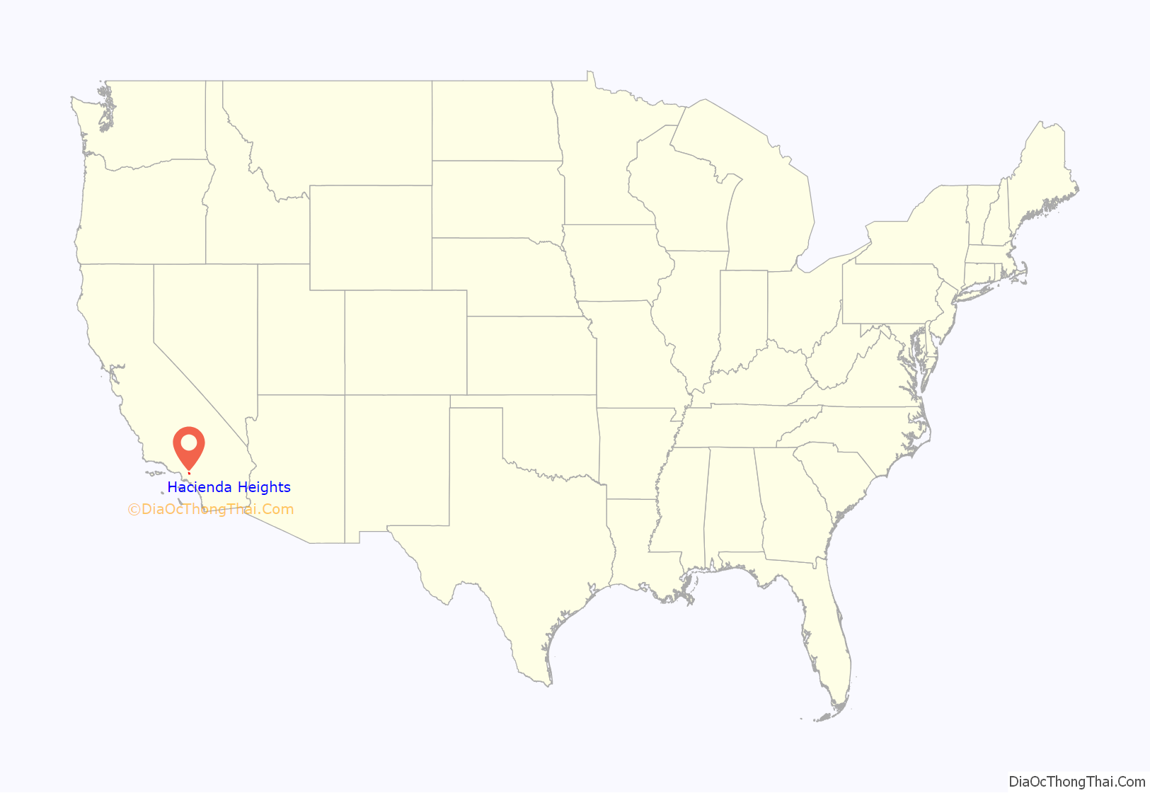
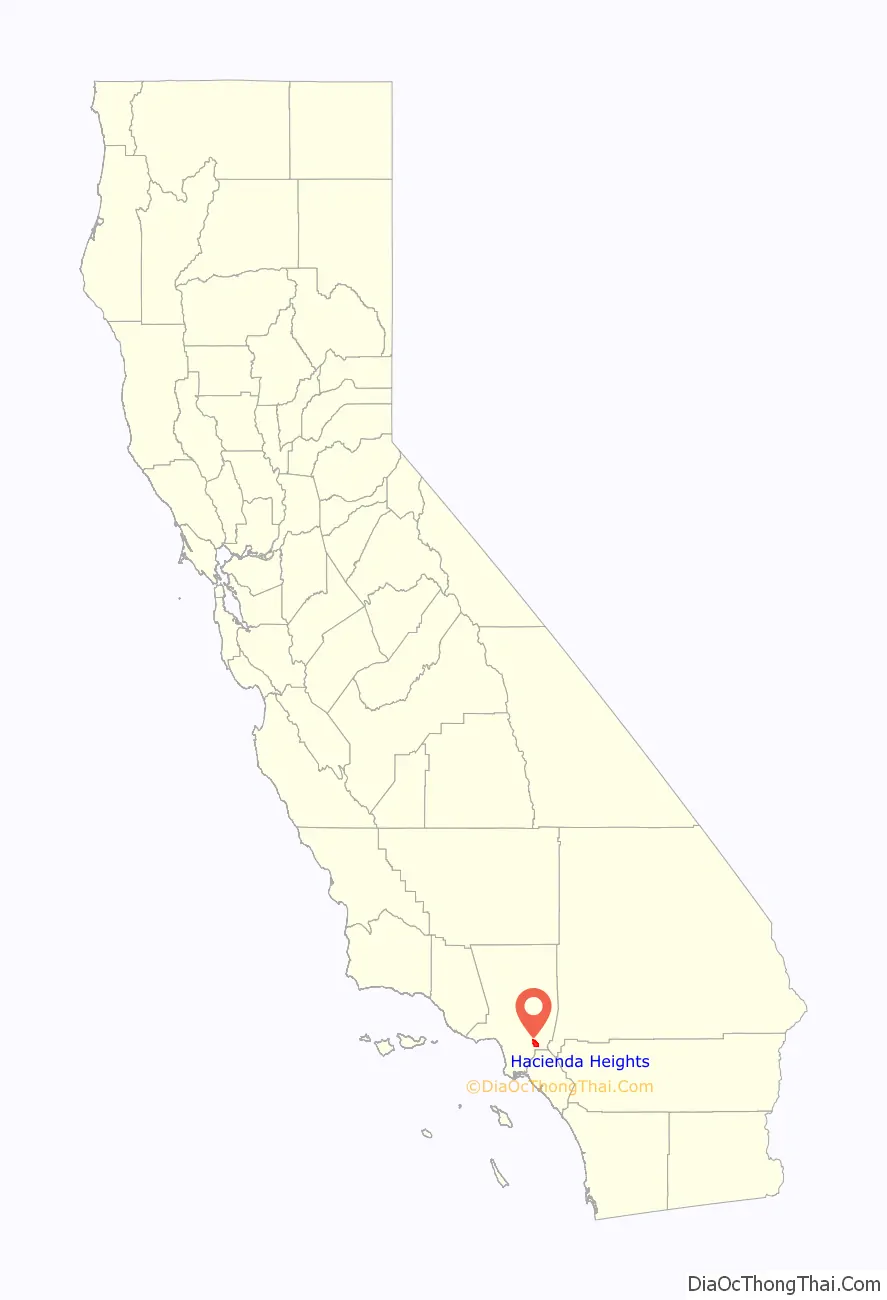
Hacienda Heights location map. Where is Hacienda Heights CDP?
History
Hacienda Heights sits on land that was originally part of Rancho La Puente. During Spanish rule, the land around Hacienda Heights was operated by the nearby Mission San Gabriel Arcángel in San Gabriel. The Rancho was eventually acquired by John A. Rowland and William Workman in 1845 via a Mexican land grant, and eventually acquired by Elias “Lucky” Baldwin in the mid-1870s. In 1912, his descendant, Anita Baldwin, sold the property to Edwin Hart and Jet Torrance. In 1913 the pair subdivided the area and named it North Whittier Heights, which became known for avocado, citrus and walnut orchards. However, from the Great Depression era to the early 1940s, citrus growing became unprofitable because of pests and diseases, setting the impetus for the area’s transformation into a suburb.
Accelerating in the 1950s, suburban residential development transformed Hacienda Heights into a residential or bedroom community. In 1961, the Hacienda Heights Branch of the Los Angeles County Public Library opened. The following year, in 1961, the area was renamed Hacienda Heights. In 1964, the local newspaper, the Hacienda Heights Highlander, was established.
The hills surrounding Hacienda Heights have a history of brush fires, especially in 1978, 1989, and 2020.
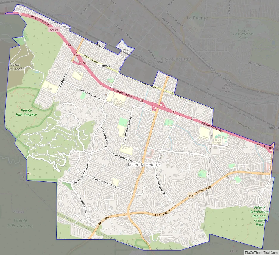
Hacienda Heights Road Map
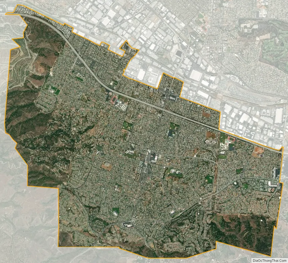
Hacienda Heights city Satellite Map
Geography
Hacienda Heights is in the eastern San Gabriel Valley bordering City of Industry to the North, Whittier to the West, La Habra Heights to the South, and Rowland Heights to the East along the Pomona Freeway – Route 60. Hacienda Heights is a predominantly residential neighborhood.
According to the United States Census Bureau, the community has a total area of 11.2 square miles (29 km). 11.2 square miles (29 km) of it is land and 0.06% is water.
Hacienda Heights also has the Puente Hills forming its ‘green belt’ southern border and much of its western border. The highest point is Workman Hill at 1,391 feet (424 m). Coyotes are common concern among residents.
See also
Map of California State and its subdivision:- Alameda
- Alpine
- Amador
- Butte
- Calaveras
- Colusa
- Contra Costa
- Del Norte
- El Dorado
- Fresno
- Glenn
- Humboldt
- Imperial
- Inyo
- Kern
- Kings
- Lake
- Lassen
- Los Angeles
- Madera
- Marin
- Mariposa
- Mendocino
- Merced
- Modoc
- Mono
- Monterey
- Napa
- Nevada
- Orange
- Placer
- Plumas
- Riverside
- Sacramento
- San Benito
- San Bernardino
- San Diego
- San Francisco
- San Joaquin
- San Luis Obispo
- San Mateo
- Santa Barbara
- Santa Clara
- Santa Cruz
- Shasta
- Sierra
- Siskiyou
- Solano
- Sonoma
- Stanislaus
- Sutter
- Tehama
- Trinity
- Tulare
- Tuolumne
- Ventura
- Yolo
- Yuba
- Alabama
- Alaska
- Arizona
- Arkansas
- California
- Colorado
- Connecticut
- Delaware
- District of Columbia
- Florida
- Georgia
- Hawaii
- Idaho
- Illinois
- Indiana
- Iowa
- Kansas
- Kentucky
- Louisiana
- Maine
- Maryland
- Massachusetts
- Michigan
- Minnesota
- Mississippi
- Missouri
- Montana
- Nebraska
- Nevada
- New Hampshire
- New Jersey
- New Mexico
- New York
- North Carolina
- North Dakota
- Ohio
- Oklahoma
- Oregon
- Pennsylvania
- Rhode Island
- South Carolina
- South Dakota
- Tennessee
- Texas
- Utah
- Vermont
- Virginia
- Washington
- West Virginia
- Wisconsin
- Wyoming


