San Gabriel (Spanish for “St. Gabriel”) is a city located in the San Gabriel Valley of Los Angeles County, California. At the 2010 census, the population was 39,718.
San Gabriel was founded by the Spanish in 1771, when Mission San Gabriel Arcángel was established by Saint Junípero Serra. Through the Spanish and Mexican periods, San Gabriel played an important role in the development of Los Angeles and Californio society. Owing to the prominence of Mission San Gabriel in the region’s history, it is often called the “birthplace of the Los Angeles region”.
| Name: | San Gabriel city |
|---|---|
| LSAD Code: | 25 |
| LSAD Description: | city (suffix) |
| State: | California |
| County: | Los Angeles County |
| Incorporated: | April 24, 1913 |
| Elevation: | 420 ft (128 m) |
| Total Area: | 4.15 sq mi (10.74 km²) |
| Land Area: | 4.14 sq mi (10.73 km²) |
| Water Area: | 0.00 sq mi (0.00 km²) 0.02% |
| Total Population: | 39,718 |
| Population Density: | 9,625.81/sq mi (3,716.92/km²) |
| ZIP code: | 91775, 91776, 91778 |
| Area code: | 626 |
| FIPS code: | 0667042 |
| Website: | www.sangabrielcity.com |
Online Interactive Map
Click on ![]() to view map in "full screen" mode.
to view map in "full screen" mode.
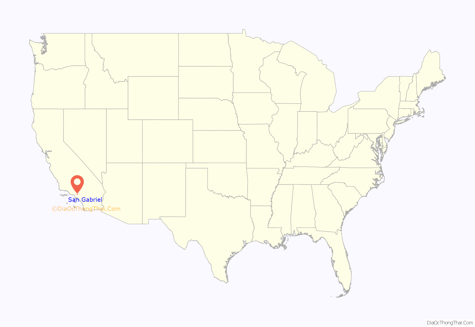
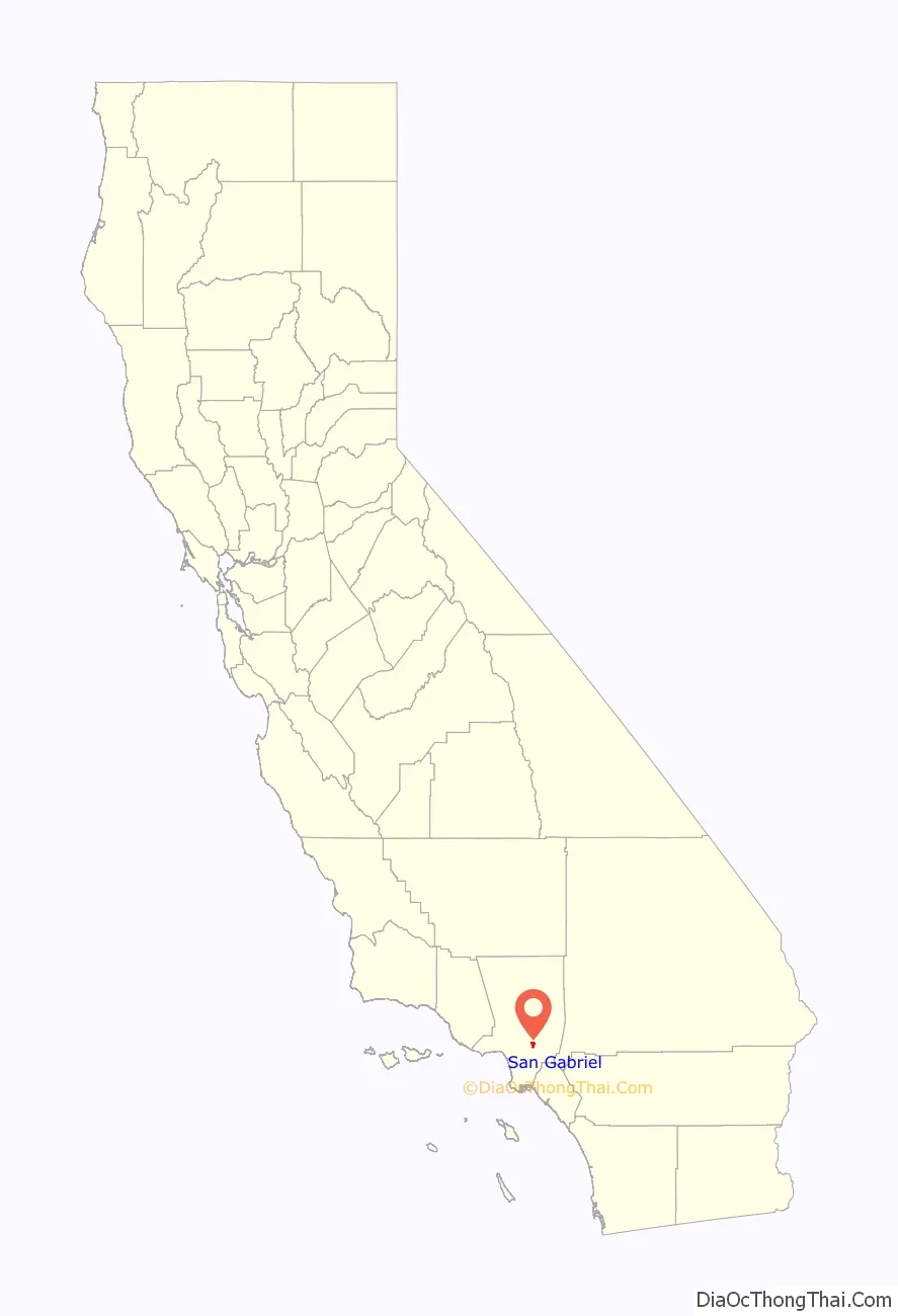
San Gabriel location map. Where is San Gabriel city?
History
Tongva
Prior to the arrival of the Spanish to Alta California, the area that is San Gabriel were inhabited by the Tongva, whom the Spanish called the Gabrieleño. The Tongva village of Shevaanga was located at the original site of Mission San Gabriel, before being moved to the site of another village, Toviscanga in 1776 after being destroyed by a flood. These villages were part of an extensive trade network and were interconnected by a series of trails.
Spanish period
Mission San Gabriel Arcángel, founded by Father Junípero Serra in 1771, is the fourth of twenty-one California Missions, and is known as the “Pride of the California Missions.” Dissidence and rebellions against the mission by the Tongva, who were forced to labor at the mission, were common. After the Spanish missionaries banned converts to Christianity from dancing and participating in ceremony, a major rebellion of eight villages was staged against the mission in 1785 led by Toypurina and Nicolás Josè.
Mexican period
The Mission San Gabriel Arcángel served a pivotal role in the Californio society, with many of the area’s first Mexican settlers being baptized at the mission, including future governor Pio Pico, who was born in 1801 at the mission and baptized there the same year. He was appointed as California’s governor twice, serving briefly in 1832 and again from 1845 through the Mexican–American War. Later in life, he was elected as a Los Angeles City councilman. The city of Pico Rivera was named to honor him as the last governor of California to be born in Mexico.
American period
In 1853, a company of Army Engineers, which included the geologist William P. Blake, passed by the mission in search of the best route for an intercontinental railroad. Blake observed that the once great vineyards had fallen into wild disarray. Fences were in disrepair and animals roamed freely through the property. But the mission bells were ringing and the church was still in use. Blake predicted, “I believe that when the adaptation of that portion of California to the culture of the grape and the manufacture of wine becomes known and appreciated, the state will become celebrated not only for its gold and grain, but (also) for its fruits and wines.”
In the first United States census made in California in 1860, 586 people lived in the San Gabriel township, an area encompassing the mission lands and several adjacent ranchos stretching north to what is now Pasadena. By 1870, the population had shrunk to 436.
San Gabriel incorporated as a city April 24, 1913, with a population of 1,500.
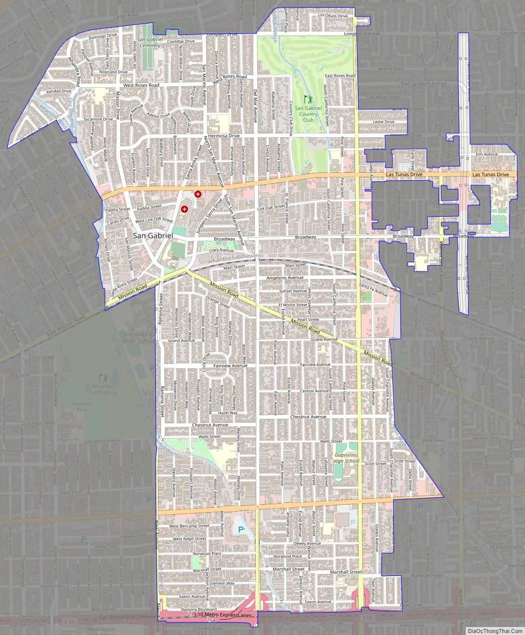
San Gabriel Road Map
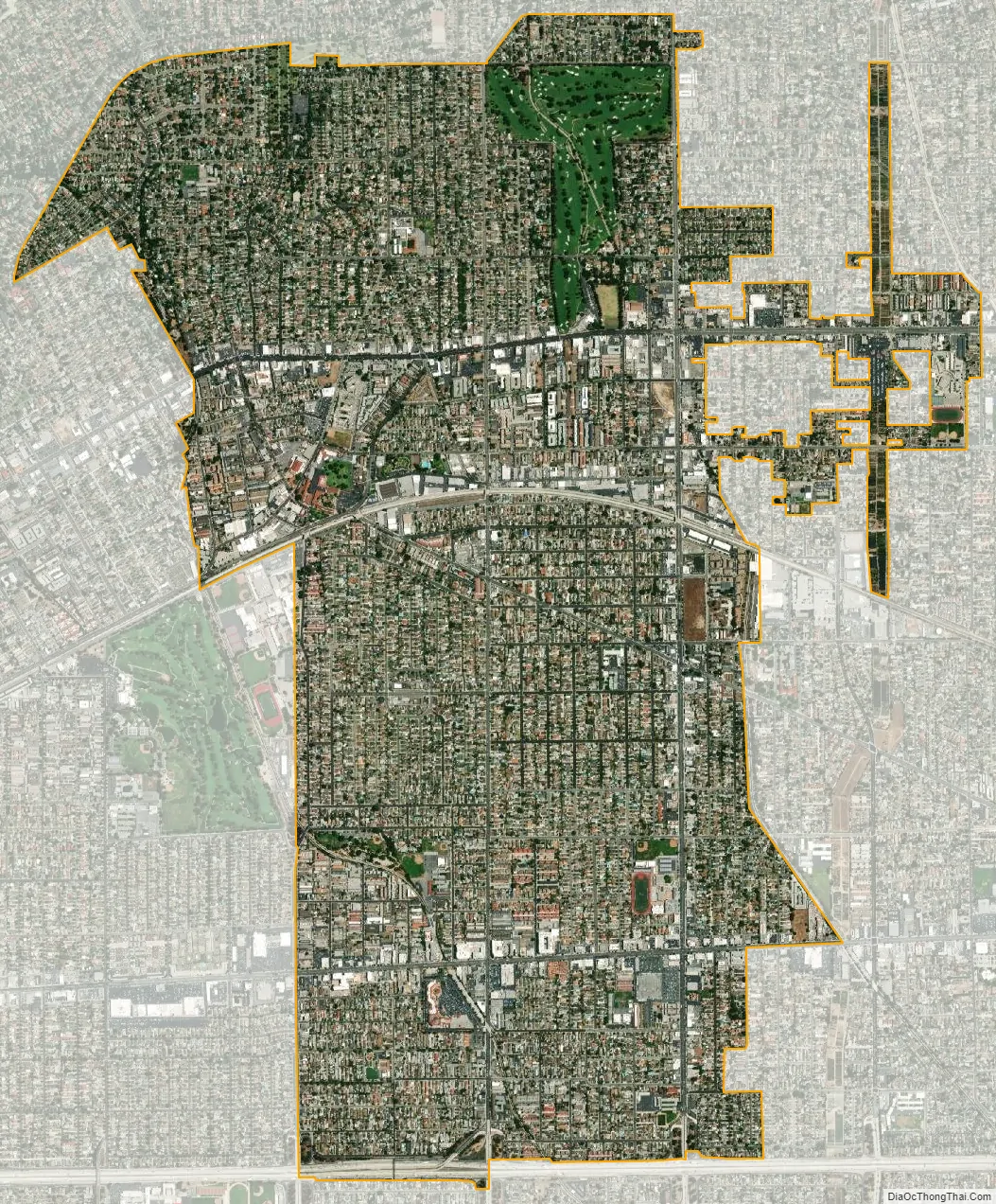
San Gabriel city Satellite Map
Geography
According to the United States Census Bureau, the city has a total area of 4.1 square miles (11 km), virtually all of it land.
The city is located in the San Gabriel Valley and is bordered on the north by San Marino, on the east by Temple City and Rosemead, to the south by Rosemead and to the west by Alhambra.
Parks
The Parks and Recreation Department offers an after school sports program and a summer playground program for San Gabriel youth. Along with these programs, the Department provides a variety of trips and special events throughout the year for youth of all ages.
Parks include:
- Adult Recreation Center and Senior Center, 324 South Mission Drive
- Bovard-Wilson-Hayes House and Jail
- Grapevine Park and Arbor, 324 South Mission Drive
- Smith Park and Pool, 232 West Broadway,
- Vincent Lugo Park, Corner of Wells and Ramona Streets
Climate
According to the Köppen Climate Classification system, San Gabriel has a hot-summer Mediterranean climate, abbreviated “Csa” on climate maps. Summers are hot and very dry, and winters are mild.
See also
Map of California State and its subdivision:- Alameda
- Alpine
- Amador
- Butte
- Calaveras
- Colusa
- Contra Costa
- Del Norte
- El Dorado
- Fresno
- Glenn
- Humboldt
- Imperial
- Inyo
- Kern
- Kings
- Lake
- Lassen
- Los Angeles
- Madera
- Marin
- Mariposa
- Mendocino
- Merced
- Modoc
- Mono
- Monterey
- Napa
- Nevada
- Orange
- Placer
- Plumas
- Riverside
- Sacramento
- San Benito
- San Bernardino
- San Diego
- San Francisco
- San Joaquin
- San Luis Obispo
- San Mateo
- Santa Barbara
- Santa Clara
- Santa Cruz
- Shasta
- Sierra
- Siskiyou
- Solano
- Sonoma
- Stanislaus
- Sutter
- Tehama
- Trinity
- Tulare
- Tuolumne
- Ventura
- Yolo
- Yuba
- Alabama
- Alaska
- Arizona
- Arkansas
- California
- Colorado
- Connecticut
- Delaware
- District of Columbia
- Florida
- Georgia
- Hawaii
- Idaho
- Illinois
- Indiana
- Iowa
- Kansas
- Kentucky
- Louisiana
- Maine
- Maryland
- Massachusetts
- Michigan
- Minnesota
- Mississippi
- Missouri
- Montana
- Nebraska
- Nevada
- New Hampshire
- New Jersey
- New Mexico
- New York
- North Carolina
- North Dakota
- Ohio
- Oklahoma
- Oregon
- Pennsylvania
- Rhode Island
- South Carolina
- South Dakota
- Tennessee
- Texas
- Utah
- Vermont
- Virginia
- Washington
- West Virginia
- Wisconsin
- Wyoming


